Map of Benin with regions and capitals
Benin is a country in West Africa, on the Bight of Benin in the Gulf of Guinea. It borders Togo to the west, Burkina Faso and Niger to the north, and Nigeria to the east. The political map shows its 12 regions, the capital, Porto-Novo, and major cities.

- Capital
- Porto-Novo
- Population
- 14.1 million (2023)
- Area
- 114,763 km² (44,310 sq mi)
- Population density
- 123 per km² (318 per sq mi)
- Official language
- French
- Currency
- West African CFA franc
- Demonym
- Beninese
- Regions
- 12
- Highest point
- Mont Sokbaro (658 m (2,159 ft))
- Calling code
- +229
- Internet domain
- .bj
- Official name
- Republic of Benin
Where is Benin?
Benin is a country in West Africa, on the Bight of Benin in the Gulf of Guinea. It borders Togo to the west, Burkina Faso and Niger to the north, and Nigeria to the east.
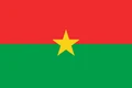
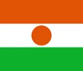
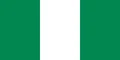
Neighboring countries: Burkina Faso, Niger, Nigeria, Togo.

Regions of Benin and their capitals
Benin is divided into 12 departments, all shown on the map, from Alibori and Atakora in the north to Littoral on the coast, which consists of the city of Cotonou alone.
| Region | Capital | Population | Area |
|---|---|---|---|
| Alibori | Kandi | 867,463 | 26,242 km² (10,132 sq mi) |
| Atakora | Natitingou | — | 20,499 km² (7,915 sq mi) |
| Atlantique | Ouidah | — | 3,233 km² (1,248 sq mi) |
| Borgou | Parakou | — | 25,856 km² (9,983 sq mi) |
| Collines | Dassa-Zoumé | — | 13,931 km² (5,379 sq mi) |
| Donga | Djougou | — | 11,126 km² (4,296 sq mi) |
| Kouffo | Aplahoué | 741,895 | 2,404 km² (928 sq mi) |
| Littoral | Cotonou | 678,874 | 79 km² (31 sq mi) |
| Mono | Lokossa | — | 1,605 km² (620 sq mi) |
| Ouémé | Porto-Novo | 1,096,850 | 1,281 km² (495 sq mi) |
| Plateau | Pobè | — | 3,264 km² (1,260 sq mi) |
| Zou | Abomey | — | 5,243 km² (2,024 sq mi) |
Population from Wikidata (latest figure available for each region).
Blank and coloring maps of Benin
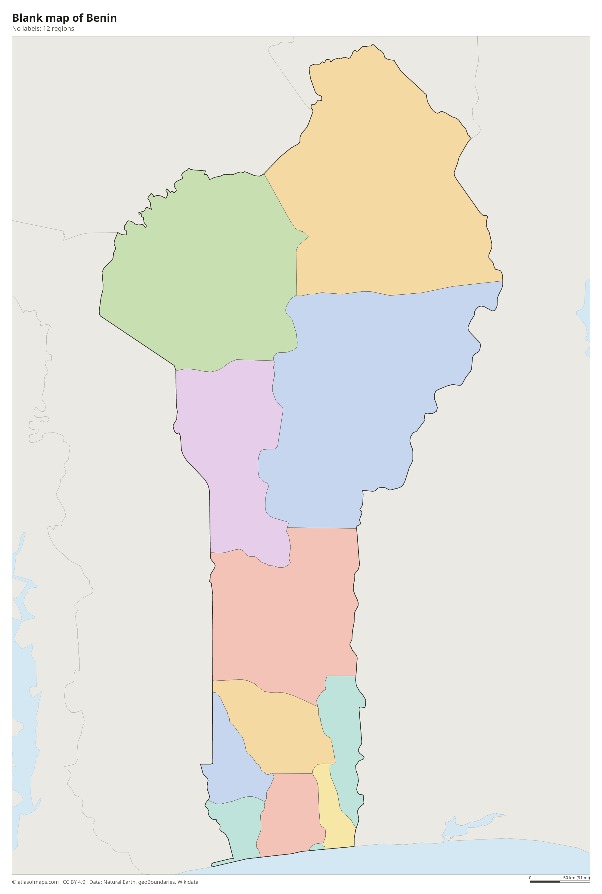
Blank map of Benin

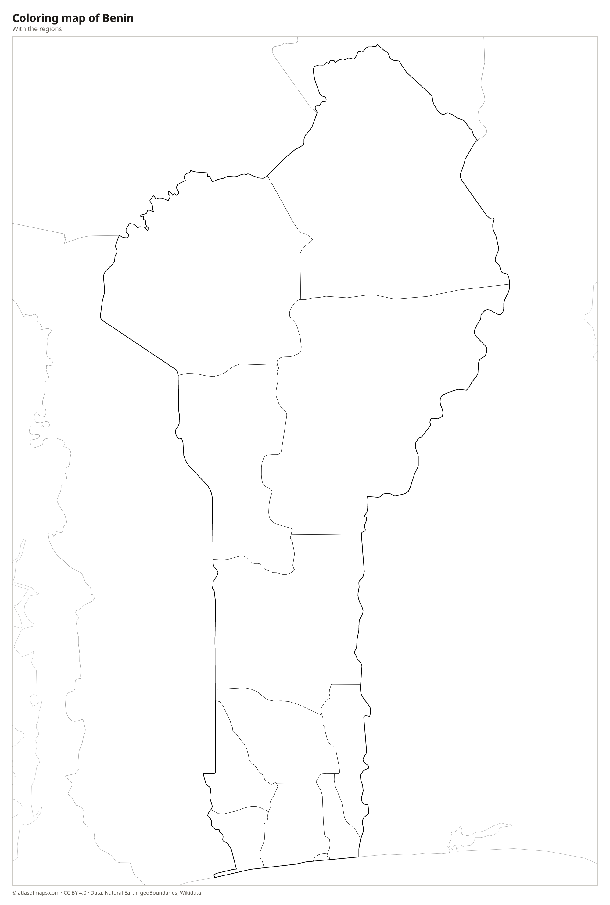
Coloring map of Benin

Geography of Benin
Benin covers 114,763 km² (44,310 sq mi) and is long and narrow, stretching far inland from a short Atlantic coastline. The coast is a flat, sandy strip backed by lagoons and lakes. Inland, a fertile plateau of red clay soil rises gently toward the savanna of the center and north. In the northwest, the Atakora Mountains form the only real highlands, and the highest point, Mont Sokbaro, reaches 658 m (2,159 ft) near the border with Togo.
The Ouémé is the longest river entirely in Benin and flows south into the lagoons near Porto-Novo and Cotonou. The Mono forms part of the border with Togo, and in the far north the Niger River marks the border with Niger. Lake Nokoué, a coastal lagoon, is home to Ganvié, a large village built on stilts. The south has a humid climate with two rainy seasons, while the north has one rainy season and a long dry season. Pendjari and W National Parks protect northern savannas with elephants and lions. About 14.1 million people (2023) live in Benin.
Fun facts
- The country was called Dahomey until 1975, after a powerful West African kingdom centered on Abomey.
- Ganvié, on Lake Nokoué, is one of the largest lake villages in Africa, with houses built on stilts above the water.
- The Royal Palaces of Abomey, built by the kings of Dahomey, are a UNESCO World Heritage Site.
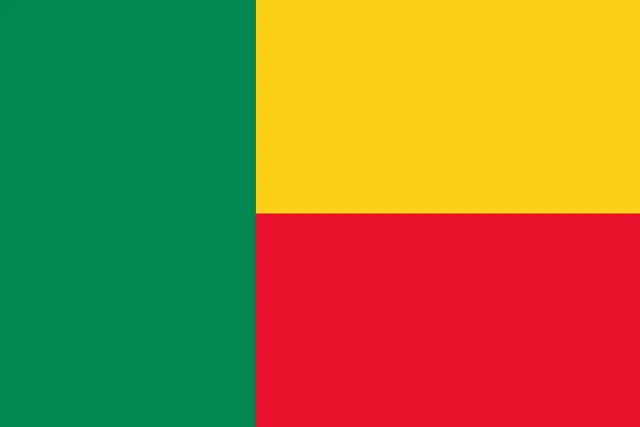
Flag of Benin
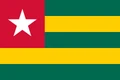
The flag of Benin has a vertical green band at the hoist and two horizontal bands, yellow over red, filling the rest of the flag. The green band runs the full height of the flag, and the yellow and red bands are equal in size. The flag carries no emblem or text.
Countries bordering Benin
Frequently asked questions
What countries border Benin?
Benin borders four countries: Togo to the west, Burkina Faso and Niger to the north, and Nigeria to the east. Its southern coast faces the Atlantic Ocean.
How many departments does Benin have?
Benin has 12 departments: Alibori, Atakora, Atlantique, Borgou, Collines, Donga, Kouffo, Littoral, Mono, Ouémé, Plateau and Zou.
What is the capital of Benin?
Porto-Novo is the official capital, but Cotonou, the largest city, is the seat of government and the main port. Both lie on the coast in the south.
How many regions does Benin have?
Benin is divided into 12 regions: Alibori, Atakora, Atlantique, Borgou, Collines, Donga, Kouffo, Littoral, Mono, Ouémé, Plateau, and Zou.
What language is spoken in Benin?
The official language is French.
Can I print the map of Benin?
Yes. Every map on this page can be downloaded for free as PNG or PDF (US Letter) and printed, including the blank map and the coloring map. Please credit the source (Atlas of Maps, CC BY 4.0).
Use this map
You can download, print and share this map for free, in class, in school projects, in presentations and on websites, as long as you credit the source: Map of Benin · Atlas of Maps (atlasofmaps.com), license CC BY 4.0.
See also: Map of Africa · World map