Map of Niger with regions and capitals
Niger is a large landlocked country in West Africa, on the southern edge of the Sahara. It borders Algeria and Libya to the north, Chad to the east, Nigeria and Benin to the south, and Burkina Faso and Mali to the west. The political map shows its 8 regions, the capital, Niamey, and major cities.

- Capital
- Niamey
- Population
- 21.5 million (2017)
- Area
- 1,267,000 km² (489,191 sq mi)
- Population density
- 17 per km² (44 per sq mi)
- Official language
- Hausa
- Currency
- West African CFA franc
- Demonym
- Nigerien
- Regions
- 8
- Highest point
- Mont Idoukal-n-Taghès (2,022 m (6,634 ft))
- Calling code
- +227
- Internet domain
- .ne
Where is Niger?
Niger is a large landlocked country in West Africa, on the southern edge of the Sahara. It borders Algeria and Libya to the north, Chad to the east, Nigeria and Benin to the south, and Burkina Faso and Mali to the west.
Neighboring countries: Benin, Burkina Faso, Algeria, Libya, Mali, Nigeria, Chad.

Regions of Niger and their capitals
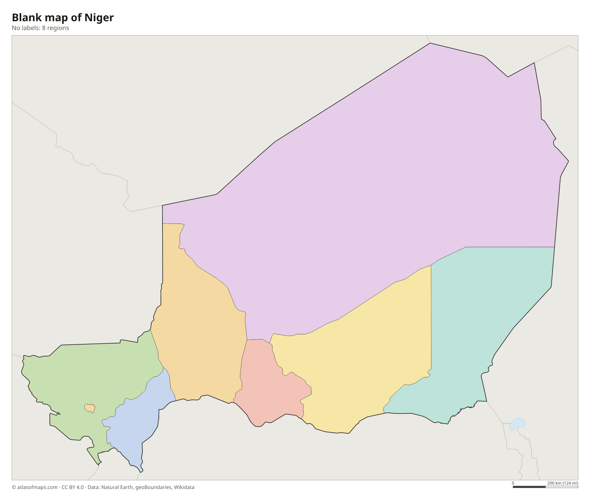
Niger is divided into 7 regions and the capital district of Niamey, 8 units in all. Agadez, in the north, is by far the largest region, covering about half the country, while most people live in southern regions such as Maradi and Zinder.
| Region | Capital | Population | Area |
|---|---|---|---|
| Agadez | Agadez | 487,620 | 667,799 km² (257,839 sq mi) |
| Diffa | Diffa | 593,821 | 156,906 km² (60,582 sq mi) |
| Dosso | Dosso | 2,037,713 | 31,002 km² (11,970 sq mi) |
| Maradi | Maradi | 3,402,094 | 35,100 km² (13,552 sq mi) |
| Niamey | Niamey | 1,496,260 | 239 km² (92 sq mi) |
| Tahoua | Tahoua | 3,328,365 | 106,677 km² (41,188 sq mi) |
| Tillabéri | Tillabéri | 2,722,482 | 89,623 km² (34,604 sq mi) |
| Zinder | Zinder | 3,539,764 | 145,430 km² (56,151 sq mi) |
Population from Wikidata (latest figure available for each region).
Blank and coloring maps of Niger
Blank map of Niger

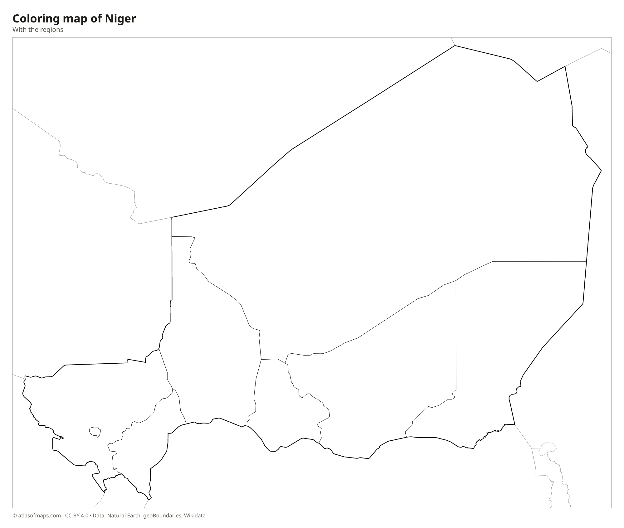
Coloring map of Niger

Geography of Niger
Niger covers 1,267,000 km² (489,191 sq mi), the largest area of any country in West Africa. Most of the north lies in the Sahara, with stony plains, the sand sea of the Ténéré and the Djado Plateau. Rising from the desert in the north-center are the Aïr Mountains, a group of dark granite massifs whose highest summit, Mont Idoukal-n-Taghès, reaches 2,022 m (6,634 ft). The south belongs to the Sahel, a belt of dry grassland and farmland where most people live.
The Niger River flows through the southwest for several hundred kilometers, passing the capital, Niamey, and supporting rice farming and fishing. W National Park, shared with Benin and Burkina Faso, protects savanna along the river. In the far southeast, Niger reaches the shores of Lake Chad, which has shrunk greatly since the 1960s. The climate is hot and dry, with a short rainy season from about June to September in the south and almost no rain in the north.
Fun facts
- The Ténéré Desert once had a famous lone acacia, the Tree of Ténéré, thought to be the most isolated tree on Earth until a truck knocked it down in 1973.
- Dinosaur fossils, including those of Nigersaurus, have been found in the Sahara of Niger.
- The old caravan town of Agadez has a mud-brick minaret that is among the tallest in the world.
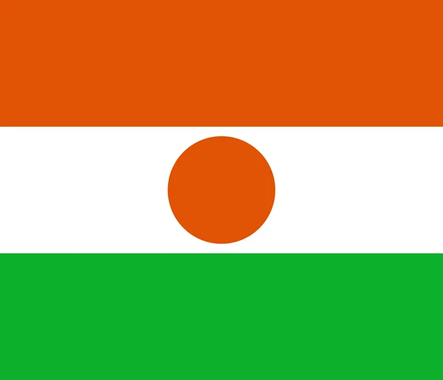
Flag of Niger
The flag of Niger has three equal horizontal bands of orange, white and green, from top to bottom. An orange circle sits in the center of the white band. The flag has an unusual, nearly square 6:7 ratio, which helps set it apart from the flag of India, which has similar colors.
Countries bordering Niger
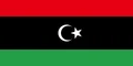
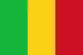
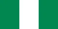
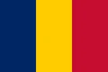
Frequently asked questions
What countries border Niger?
Niger borders seven countries: Algeria, Libya, Chad, Nigeria, Benin, Burkina Faso and Mali. It has no coastline; the nearest sea is the Gulf of Guinea, beyond Benin and Nigeria.
How many regions does Niger have?
Niger has 7 regions plus the capital district of Niamey, 8 divisions in all: Agadez, Diffa, Dosso, Maradi, Niamey, Tahoua, Tillabéri and Zinder.
What is the difference between Niger and Nigeria?
They are separate countries, both named after the Niger River. Niger is the landlocked, mostly desert country to the north, and Nigeria is its much more populous coastal neighbor to the south.
What is the capital of Niger?
The capital of Niger is Niamey.
What language is spoken in Niger?
The official language is Hausa.
Can I print the map of Niger?
Yes. Every map on this page can be downloaded for free as PNG or PDF (US Letter) and printed, including the blank map and the coloring map. Please credit the source (Atlas of Maps, CC BY 4.0).
Use this map
You can download, print and share this map for free, in class, in school projects, in presentations and on websites, as long as you credit the source: Map of Niger · Atlas of Maps (atlasofmaps.com), license CC BY 4.0.
See also: Map of Africa · World map