Map of Togo with regions and capitals
Togo is a small country in West Africa with a short coastline on the Gulf of Guinea. It is a long, narrow strip of land between Ghana to the west and Benin to the east, with Burkina Faso to the north. The political map shows its 5 regions, the capital, Lomé, and major cities.

- Capital
- Lomé
- Population
- 7.8 million (2017)
- Area
- 56,785 km² (21,925 sq mi)
- Population density
- 137 per km² (356 per sq mi)
- Official language
- French
- Currency
- West African CFA franc
- Demonym
- Togolese
- Regions
- 5
- Highest point
- Mount Agou (986 m (3,235 ft))
- Calling code
- +228
- Internet domain
- .tg
Where is Togo?
Togo is a small country in West Africa with a short coastline on the Gulf of Guinea. It is a long, narrow strip of land between Ghana to the west and Benin to the east, with Burkina Faso to the north.
Neighboring countries: Benin, Burkina Faso, Ghana.

Regions of Togo and their capitals
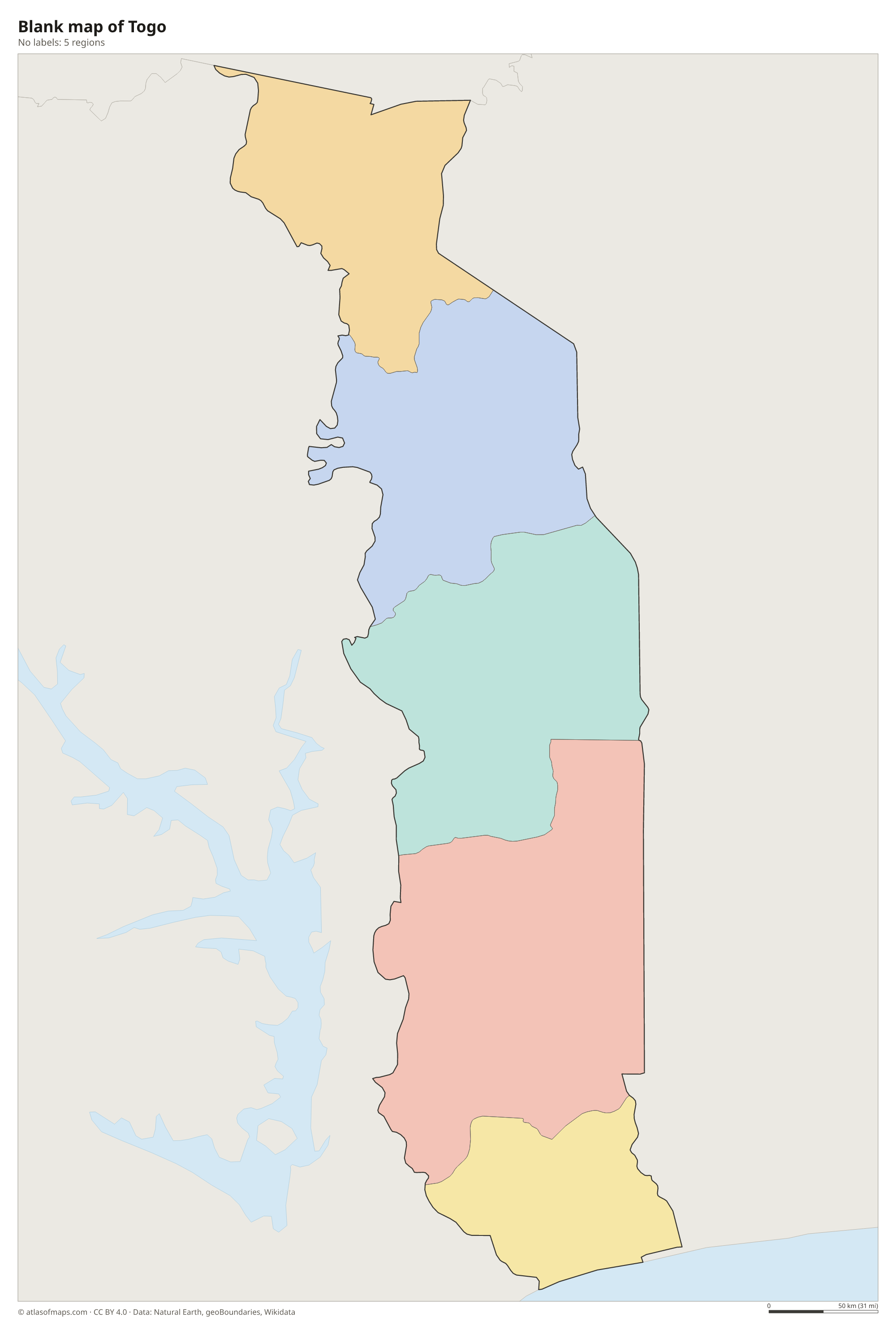
Togo is divided into 5 regions, arranged in bands from south to north: Maritime, which includes the capital Lomé, then Plateaux, Centre, Kara and Savanes. Each region is split into prefectures.
| Region | Capital | Population | Area |
|---|---|---|---|
| Centre | Ouagadougou | — | 2,805 km² (1,083 sq mi) |
| Kara | Kara | 985,512 | 11,629 km² (4,490 sq mi) |
| Maritime | Lomé | 3,534,991 | 6,395 km² (2,469 sq mi) |
| Plateaux | Atakpamé | 1,635,946 | 16,975 km² (6,554 sq mi) |
| Savanes | Durum Town | 1,143,520 | 8,470 km² (3,270 sq mi) |
Population from Wikidata (latest figure available for each region).
Blank and coloring maps of Togo
Blank map of Togo

Coloring map of Togo

Geography of Togo
Togo covers about 56,785 km² (21,925 sq mi), but it is much longer from south to north than it is wide, and its coastline on the Gulf of Guinea is only about 56 km (35 mi) long. Behind the sandy coast and its lagoons lies a low plateau. The Togo Mountains, part of the Atakora range, run diagonally across the country from southwest to northeast; Mount Agou, near the border with Ghana, is the highest point at 986 m (3,235 ft). The far north is a region of savanna plains.
The Mono River, Togo's longest, flows south through the east of the country and forms part of the border with Benin before reaching the sea. In the north, the Oti River drains toward the Volta basin in Ghana. Near the coast lies Lake Togo, a lagoon, and Togoville, a town on its shore, gave the country its name. The south has a tropical climate with two rainy seasons, while the north has one long rainy season and a dry season with dusty harmattan winds from the Sahara.
Fun facts
- Lomé, the capital, lies right on the border with Ghana at the western end of the coast.
- The Koutammakou landscape in the northeast, known for its tall mud tower houses, is a UNESCO World Heritage Site.
- Togo was a German colony until World War I, after which it was divided between Britain and France; the British part later became part of Ghana.
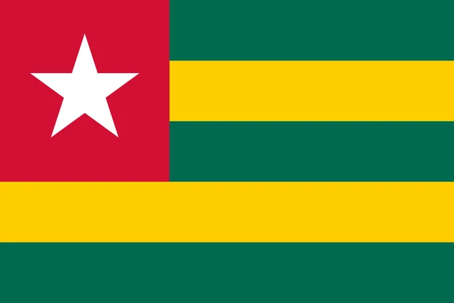
Flag of Togo
The flag of Togo has five horizontal stripes that alternate green and yellow, with green at the top and bottom. A red square in the upper hoist corner covers the top three stripes and holds a white five-pointed star. It was designed by the Togolese artist Paul Ahyi.
Countries bordering Togo
Frequently asked questions
What countries border Togo?
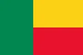
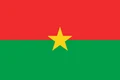
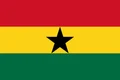
Togo borders three countries: Ghana to the west, Burkina Faso to the north and Benin to the east. To the south it faces the Gulf of Guinea, part of the Atlantic Ocean.
How many regions does Togo have?
Togo has 5 regions: Maritime, Plateaux, Centre, Kara and Savanes. Savanes is the northernmost, and Maritime, on the coast, is the most populous because it includes Lomé.
What is the capital of Togo?
The capital of Togo is Lomé, a port on the Gulf of Guinea in the far southwest. It is the country's largest city and its main port.
What language is spoken in Togo?
The official language is French.
Can I print the map of Togo?
Yes. Every map on this page can be downloaded for free as PNG or PDF (US Letter) and printed, including the blank map and the coloring map. Please credit the source (Atlas of Maps, CC BY 4.0).
Use this map
You can download, print and share this map for free, in class, in school projects, in presentations and on websites, as long as you credit the source: Map of Togo · Atlas of Maps (atlasofmaps.com), license CC BY 4.0.
See also: Map of Africa · World map