Map of Burkina Faso
Burkina Faso is a landlocked country in West Africa, south of the Sahara. It borders Mali to the north and west, Niger to the east, and Benin, Togo, Ghana and Ivory Coast to the south. The political map shows its regions, the capital, Ouagadougou, and major cities.

- Capital
- Ouagadougou
- Population
- 23 million (2023)
- Area
- 274,200 km² (105,869 sq mi)
- Population density
- 84 per km² (217 per sq mi)
- Official languages
- Mooré, Bissa, and Dioula
- Currency
- West African CFA franc
- Demonym
- Burkinabé
- Highest point
- Mount Tenakourou (749 m (2,457 ft))
- Calling code
- +226
- Internet domain
- .bf
Where is Burkina Faso?
Burkina Faso is a landlocked country in West Africa, south of the Sahara. It borders Mali to the north and west, Niger to the east, and Benin, Togo, Ghana and Ivory Coast to the south.
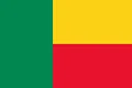
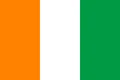
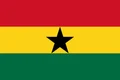
Neighboring countries: Benin, Ivory Coast, Ghana, Mali, Niger, Togo.

Regions of Burkina Faso and their capitals
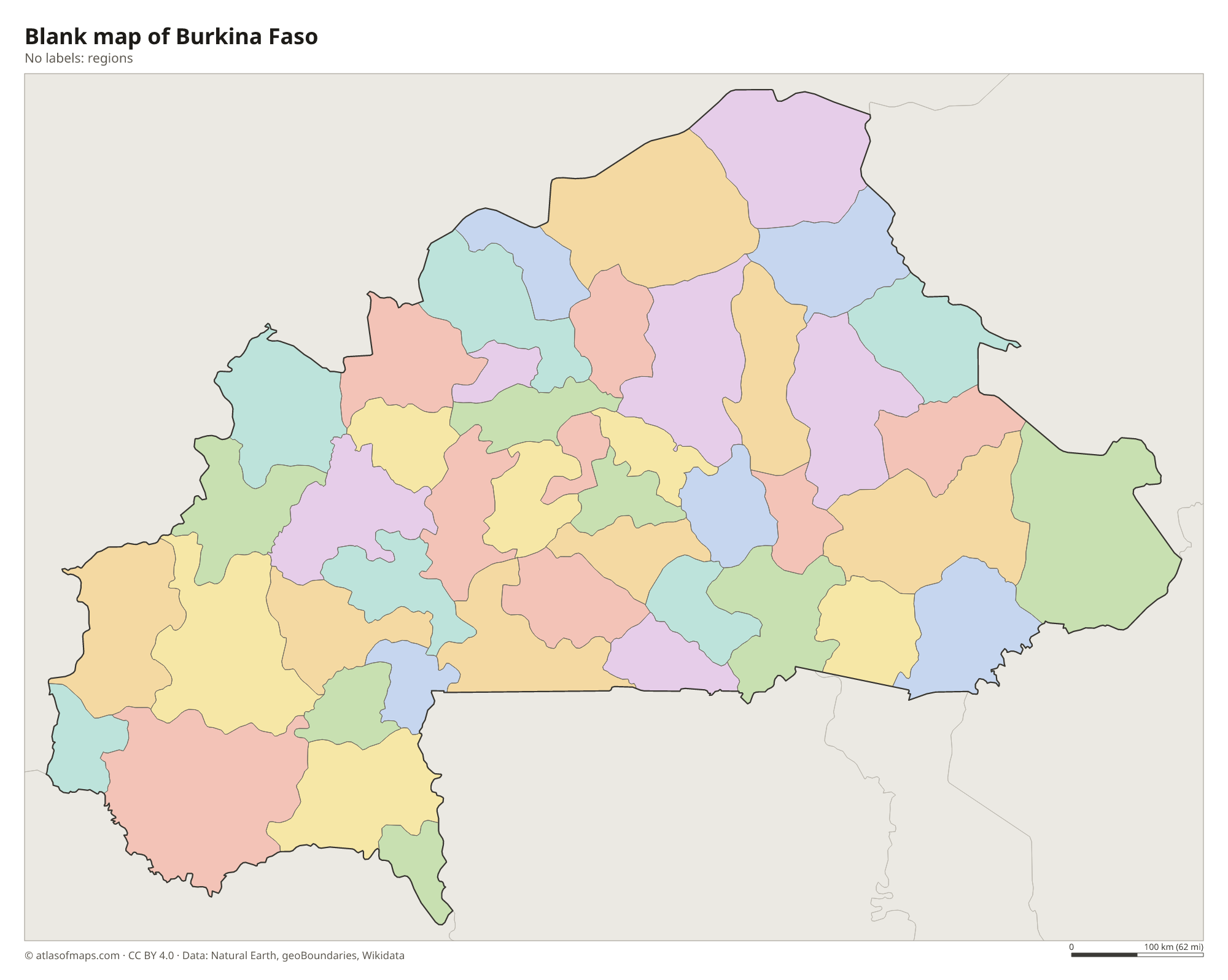
Burkina Faso is divided into regions, which are split into provinces and then into communes. The regions on the map come from Natural Earth and may not reflect the latest territorial reform. Ouagadougou, the capital, lies in the center of the country.
The divisions on the map come from Natural Earth and may not reflect the latest territorial reform in Burkina Faso.
| Region | Capital | Population | Area |
|---|---|---|---|
| Balé | Boromo | — | 4,596 km² (1,775 sq mi) |
| Bam | Kongoussi | 277,092 | 4,084 km² (1,577 sq mi) |
| Banwa | Solenzo | 267,934 | 5,882 km² (2,271 sq mi) |
| Bazèga | Kombissiri | — | 3,963 km² (1,530 sq mi) |
| Bougouriba | Diébougou | — | 2,812 km² (1,086 sq mi) |
| Boulgou | Tenkodogo | — | 6,692 km² (2,584 sq mi) |
| Boulkiemdé | Koudougou | — | 4,269 km² (1,648 sq mi) |
| Comoé | Banfora | — | 15,277 km² (5,898 sq mi) |
| Ganzourgou | Zorgho | — | 4,178 km² (1,613 sq mi) |
| Gnagna | Bogandé | — | 8,468 km² (3,270 sq mi) |
| Gourma | Fada N’Gourma | — | 11,117 km² (4,292 sq mi) |
| Houet | Bobo-Dioulasso | — | — |
| Ioba | Dano | — | — |
| Kadiogo | Ouagadougou | 3,032,668 | 2,805 km² (1,083 sq mi) |
| Kénédougou | Orodara | — | — |
| Komondjari | Gayéri | — | — |
| Kompienga | Pama | — | — |
| Kossi | Nouna | — | 7,324 km² (2,828 sq mi) |
| Koulpélogo | Ouargaye | — | — |
| Kouritenga | Koupéla | — | — |
| Kourwéogo | Boussé | — | 1,588 km² (613 sq mi) |
| Léraba | Sindou | — | 3,129 km² (1,208 sq mi) |
| Loroum | Titao | 173,993 | 11,117 km² (4,292 sq mi) |
| Mouhoun | Dédougou | 359,302 | 6,668 km² (2,575 sq mi) |
| Nahouri | Pô | — | — |
| Namentenga | Boulsa | 402,214 | 6,464 km² (2,496 sq mi) |
| Nayala | Toma | — | 3,919 km² (1,513 sq mi) |
| Noumbiel | Batié | — | — |
| Oubritenga | Ziniaré Department | — | — |
| Oudalan | Gorom-Gorom | 258,710 | 9,797 km² (3,783 sq mi) |
| Passoré | Yako | 322,873 | 3,867 km² (1,493 sq mi) |
| Poni | Gaoua | — | — |
| Sanguié | Réo | — | 5,178 km² (1,999 sq mi) |
| Sanmatenga | Kaya | — | — |
| Séno | Dori | — | 6,863 km² (2,650 sq mi) |
| Sissili | Léo | — | 7,136 km² (2,755 sq mi) |
| Soum | Djibo | — | 12,222 km² (4,719 sq mi) |
| Sourou | Tougan | — | 5,765 km² (2,226 sq mi) |
| Tapoa | Diapaga | 451,647 | 14,594 km² (5,635 sq mi) |
| Tuy | Houndé | — | 5,639 km² (2,177 sq mi) |
| Yagha | Sebba | — | 6,468 km² (2,497 sq mi) |
| Yatenga | Ouahigouya | 644,318 | 6,990 km² (2,699 sq mi) |
| Ziro | Sapouy | — | 5,139 km² (1,984 sq mi) |
| Zondoma | Gourcy | — | — |
| Zoundwéogo | Manga | — | — |
Population from Wikidata (latest figure available for each region).
Blank and coloring maps of Burkina Faso
Blank map of Burkina Faso

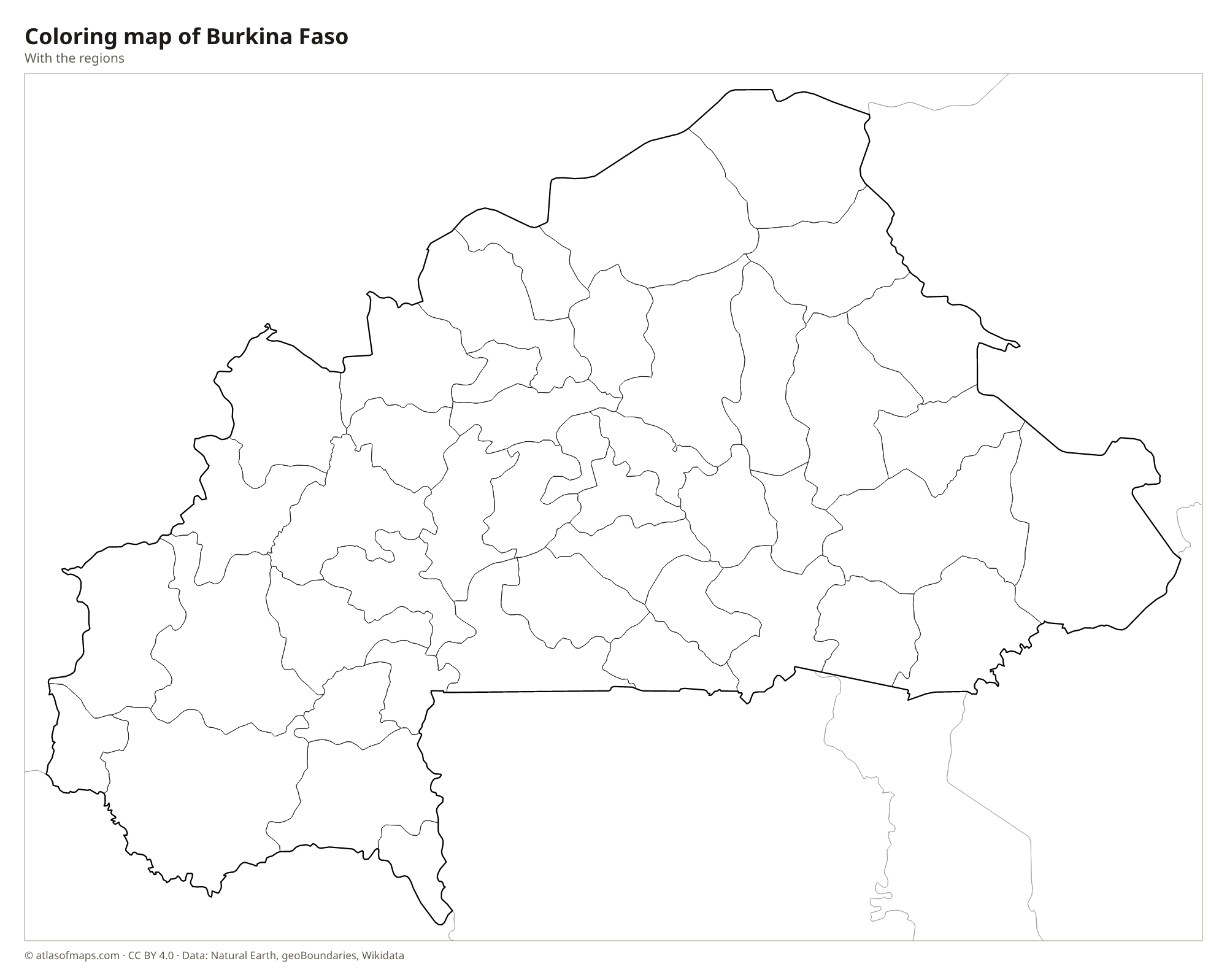
Coloring map of Burkina Faso

Geography of Burkina Faso
Burkina Faso covers 274,200 km² (105,869 sq mi), most of it a low, gently rolling plateau of savanna. The far north lies in the Sahel, a dry belt of grassland and thorn scrub on the edge of the Sahara. The southwest is higher and greener, with sandstone cliffs near Banfora, the rock needles of the Sindou Peaks and the waterfalls of Karfiguéla. The highest point, Mount Tenakourou, reaches 749 m (2,457 ft) in this region, near the border with Mali.
Burkina Faso was once called Upper Volta because it holds the upper courses of the Volta River system. The Mouhoun (Black Volta), Nakambé (White Volta) and Nazinon (Red Volta) all flow south into Ghana, and many smaller rivers dry up in the dry season. The climate is tropical, with one rainy season in summer and a long dry season, when the dusty harmattan wind blows from the Sahara. In the east, the W and Arly National Parks protect savanna wildlife. About 23 million people (2023) live in Burkina Faso.
Fun facts
- The name Burkina Faso combines words from two local languages, Mooré and Dioula, and is usually translated as land of upright people.
- People from Burkina Faso are called Burkinabé, a word that stays the same in the singular and plural.
- The Sindou Peaks, a ridge of eroded sandstone pinnacles in the southwest, are one of the country's best-known natural landmarks.
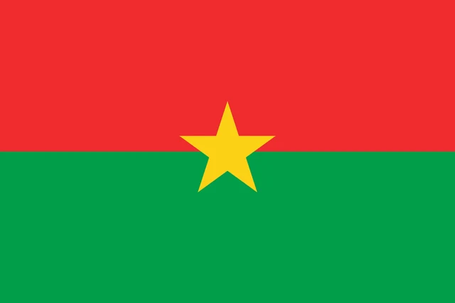
Flag of Burkina Faso
The flag of Burkina Faso has two equal horizontal bands, red on top and green below. In the center, overlapping both bands, is a yellow five-pointed star. The flag is one and a half times as wide as it is tall.
Countries bordering Burkina Faso
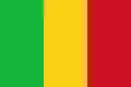
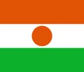
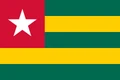
Frequently asked questions
What countries border Burkina Faso?
Burkina Faso borders six countries: Mali, Niger, Benin, Togo, Ghana and Ivory Coast. It has no coastline; the nearest sea is the Gulf of Guinea, beyond Ghana and Togo.
What was Burkina Faso called before?
Until 1984 the country was called Upper Volta, after the upper reaches of the Volta River system. The name was changed under President Thomas Sankara.
What is the capital of Burkina Faso?
The capital is Ouagadougou, in the center of the country. It is the largest city; Bobo-Dioulasso, in the southwest, is the second largest.
What language is spoken in Burkina Faso?
The official languages are Mooré, Bissa, and Dioula.
Can I print the map of Burkina Faso?
Yes. Every map on this page can be downloaded for free as PNG or PDF (US Letter) and printed, including the blank map and the coloring map. Please credit the source (Atlas of Maps, CC BY 4.0).
Use this map
You can download, print and share this map for free, in class, in school projects, in presentations and on websites, as long as you credit the source: Map of Burkina Faso · Atlas of Maps (atlasofmaps.com), license CC BY 4.0.
See also: Map of Africa · World map