Map of Bosnia and Herzegovina
Bosnia and Herzegovina is a country in Southeast Europe, in the western Balkans. It borders Croatia to the north, west and south, Serbia to the east and Montenegro to the southeast, and has a very short coast on the Adriatic Sea. The political map shows its regions, the capital, Sarajevo, and major cities.

- Capital
- Sarajevo
- Population
- 3.8 million (2022)
- Area
- 51,197 km² (19,767 sq mi)
- Population density
- 75 per km² (193 per sq mi)
- Official languages
- Bosnian, Croatian, and Serbian
- Currency
- convertible mark
- Demonym
- Bosnian
- Highest point
- Maglić (2,386 m (7,828 ft))
- Calling code
- +387
- Internet domain
- .ba
Where is Bosnia and Herzegovina?
Bosnia and Herzegovina is a country in Southeast Europe, in the western Balkans. It borders Croatia to the north, west and south, Serbia to the east and Montenegro to the southeast, and has a very short coast on the Adriatic Sea.
Neighboring countries: Croatia, Montenegro, Serbia.

Regions of Bosnia and Herzegovina and their capitals
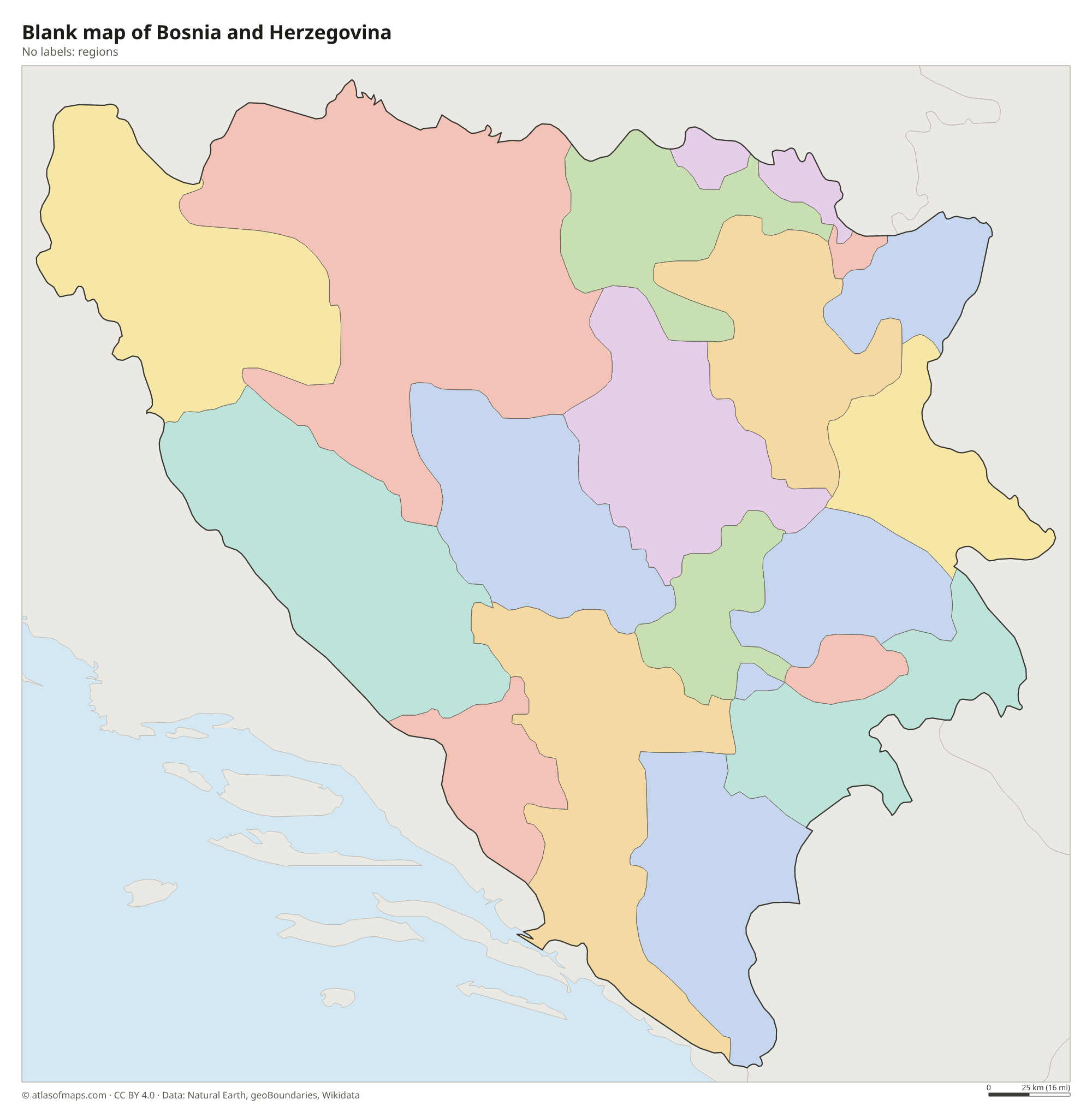
Bosnia and Herzegovina is made up of the Federation of Bosnia and Herzegovina, which is split into cantons, and Republika Srpska, plus the self-governing Brčko District in the northeast. The divisions on the map come from Natural Earth and may not match the current arrangement.
The divisions on the map come from Natural Earth and may not reflect the latest territorial reform in Bosnia and Herzegovina.
| Region | Capital | Population | Area |
|---|---|---|---|
| Banja Luka | — | — | — |
| Bijeljina | — | — | — |
| Bosnian Podrinje | Goražde | 25,336 | 505 km² (195 sq mi) |
| Brčko | Brčko | 83,516 | 493 km² (190 sq mi) |
| Central Bosnia | Travnik | 273,149 | 3,189 km² (1,231 sq mi) |
| Doboj | — | — | — |
| Foča | — | — | — |
| Herzegovina-Neretva | Mostar | 236,278 | 4,401 km² (1,699 sq mi) |
| Livno | — | — | — |
| Posavina | Orašje | 48,089 | 325 km² (125 sq mi) |
| Sarajevo | Sarajevo | 413,593 | 1,277 km² (493 sq mi) |
| Sarajevo-Romanija | Sarajevo-Romanija | — | — |
| Trebinje | — | — | — |
| Tuzla | Tuzla | 445,028 | 2,649 km² (1,023 sq mi) |
| Una-Sana | Bihać | 273,261 | 4,125 km² (1,593 sq mi) |
| Vlasenica | — | — | — |
| West Herzegovina | Široki Brijeg | 97,893 | 1,362 km² (526 sq mi) |
| Zenica-Doboj | Zenica | 364,433 | 3,415 km² (1,319 sq mi) |
Population from Wikidata (latest figure available for each region).
Blank and coloring maps of Bosnia and Herzegovina
Blank map of Bosnia and Herzegovina

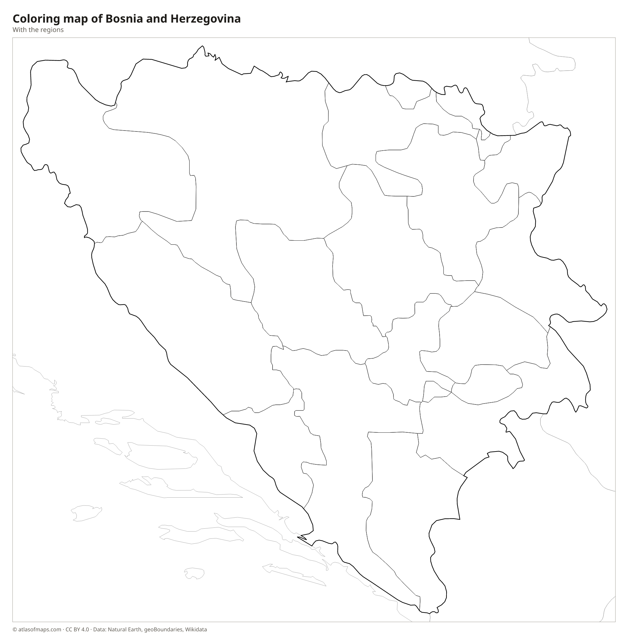
Coloring map of Bosnia and Herzegovina

Geography of Bosnia and Herzegovina
Bosnia and Herzegovina covers 51,197 km² (19,767 sq mi) and is mostly mountainous. The Dinaric Alps run from northwest to southeast across the country, with forested ranges, high plateaus and deep gorges. The highest point, Maglić, reaches 2,386 m (7,828 ft) on the border with Montenegro. In the south, Herzegovina is a land of bare limestone karst with sinkholes and flat-bottomed basins called poljes. In the north, the land flattens into fertile lowlands along the Sava River, at the edge of the Pannonian Plain.
The Sava forms the northern border with Croatia, and the Drina much of the eastern border with Serbia. Rivers such as the Una, Vrbas and Bosna flow north to the Sava, while the Neretva cuts south through Herzegovina, past Mostar, to the Adriatic. The country reaches the sea only at a short strip of coast around the town of Neum, which divides Croatia's coastline. The north has a continental climate with cold winters, while Herzegovina has hot, dry Mediterranean summers. About 3.8 million people (2022) live in the country, and the capital, Sarajevo, lies in a valley near its center.
Fun facts
- Neum, the country's only seaside town, sits on a short strip of coast that splits Croatia's coastline in two.
- The Stari Most, the Ottoman-era stone bridge over the Neretva in Mostar, was destroyed in 1993 and rebuilt in 2004.
- Perućica, in Sutjeska National Park near Maglić, is one of the last primeval forests in Europe.
Flag of Bosnia and Herzegovina
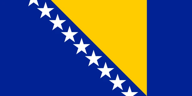
The flag of Bosnia and Herzegovina is blue with a large yellow triangle whose top side runs along the upper edge of the flag. A diagonal line of white five-pointed stars runs beside the triangle's long side, with seven full stars and two halves cut off by the top and bottom edges.
Flag of Bosnia and Herzegovina: meaning, colors and download →
Countries bordering Bosnia and Herzegovina
Frequently asked questions
What countries border Bosnia and Herzegovina?
Bosnia and Herzegovina borders three countries: Croatia to the north, west and south, Serbia to the east and Montenegro to the southeast. Croatia has by far the longest shared border.
Does Bosnia and Herzegovina have a coastline?
Yes, but a very short one. The country touches the Adriatic Sea only around the town of Neum, between two parts of the Croatian coast.
What is the difference between Bosnia and Herzegovina?
They are two historical regions. Bosnia is the larger, mountainous and forested north, while Herzegovina is the smaller, drier karst region in the south, around Mostar.
What is the capital of Bosnia and Herzegovina?
The capital of Bosnia and Herzegovina is Sarajevo.
What language is spoken in Bosnia and Herzegovina?
The official languages are Bosnian, Croatian, and Serbian.
Can I print the map of Bosnia and Herzegovina?
Yes. Every map on this page can be downloaded for free as PNG or PDF (US Letter) and printed, including the blank map and the coloring map. Please credit the source (Atlas of Maps, CC BY 4.0).
Use this map
You can download, print and share this map for free, in class, in school projects, in presentations and on websites, as long as you credit the source: Map of Bosnia and Herzegovina · Atlas of Maps (atlasofmaps.com), license CC BY 4.0.
See also: Map of Europe · World map