Map of Croatia with regions and capitals
Croatia is a country in southeastern Europe on the eastern shore of the Adriatic Sea. It borders Slovenia, Hungary, Serbia, Bosnia and Herzegovina, and Montenegro, and shares a sea border with Italy. The political map shows its 21 regions, the capital, Zagreb, and major cities.

- Capital
- Zagreb
- Population
- 3.9 million (2021)
- Area
- 56,594 km² (21,851 sq mi)
- Population density
- 68 per km² (177 per sq mi)
- Official language
- Croatian
- Currency
- euro
- Demonym
- Croatian
- Regions
- 21
- Highest point
- Dinara (1,831 m (6,007 ft))
- Calling code
- +385
- Internet domain
- .hr
- Official name
- Republic of Croatia
Where is Croatia?
Croatia is a country in southeastern Europe on the eastern shore of the Adriatic Sea. It borders Slovenia, Hungary, Serbia, Bosnia and Herzegovina, and Montenegro, and shares a sea border with Italy.
Neighboring countries: Bosnia and Herzegovina, Hungary, Montenegro, Serbia, Slovenia.

Regions of Croatia and their capitals
Croatia is divided into 21 regions: 20 counties (županije) and the City of Zagreb, which has the status of a county. On the map, the narrow coastal counties of Dalmatia contrast with the broader inland counties of the north and east.
| Region | Capital | Population | Area |
|---|---|---|---|
| Bjelovar-Bilogora | Bjelovar | 119,764 | 2,640 km² (1,019 sq mi) |
| Brod-Posavina | Slavonski Brod | 158,575 | 2,030 km² (784 sq mi) |
| Dubrovnik-Neretva | Dubrovnik | 115,862 | 1,781 km² (688 sq mi) |
| Grad Zagreb | Grad Zagreb | 767,131 | 641 km² (247 sq mi) |
| Istria | Pazin | 195,237 | 2,813 km² (1,086 sq mi) |
| Karlovac | Karlovac | 128,899 | 3,626 km² (1,400 sq mi) |
| Koprivnica-Križevci | Koprivnica | 115,584 | 1,746 km² (674 sq mi) |
| Krapina-Zagorje | Krapina | 120,702 | 1,229 km² (475 sq mi) |
| Lika-Senj | Gospić | 42,748 | 5,353 km² (2,067 sq mi) |
| Međimurje | Čakovec | 105,250 | 730 km² (282 sq mi) |
| Osijek-Baranja | Osijek | 305,032 | 4,155 km² (1,604 sq mi) |
| Požega-Slavonia | Požega | 64,084 | 1,823 km² (704 sq mi) |
| Primorje-Gorski | Rijeka | 265,419 | 3,588 km² (1,385 sq mi) |
| Šibenik-Knin | Šibenik | 109,375 | 2,994 km² (1,156 sq mi) |
| Sisak-Moslavina | Sisak | 185,387 | 4,468 km² (1,725 sq mi) |
| Split-Dalmatia | Split | 423,407 | 4,534 km² (1,751 sq mi) |
| Varaždin | Varaždin | 175,951 | 1,261 km² (487 sq mi) |
| Virovitica-Podravina | Virovitica | 84,836 | 2,024 km² (781 sq mi) |
| Vukovar-Syrmia | Vukovar | 179,521 | 2,448 km² (945 sq mi) |
| Zadar | Zadar | 159,766 | 3,646 km² (1,408 sq mi) |
| Zagrebacka | Zagreb | 317,642 | 3,078 km² (1,188 sq mi) |
Population from Wikidata (latest figure available for each region).
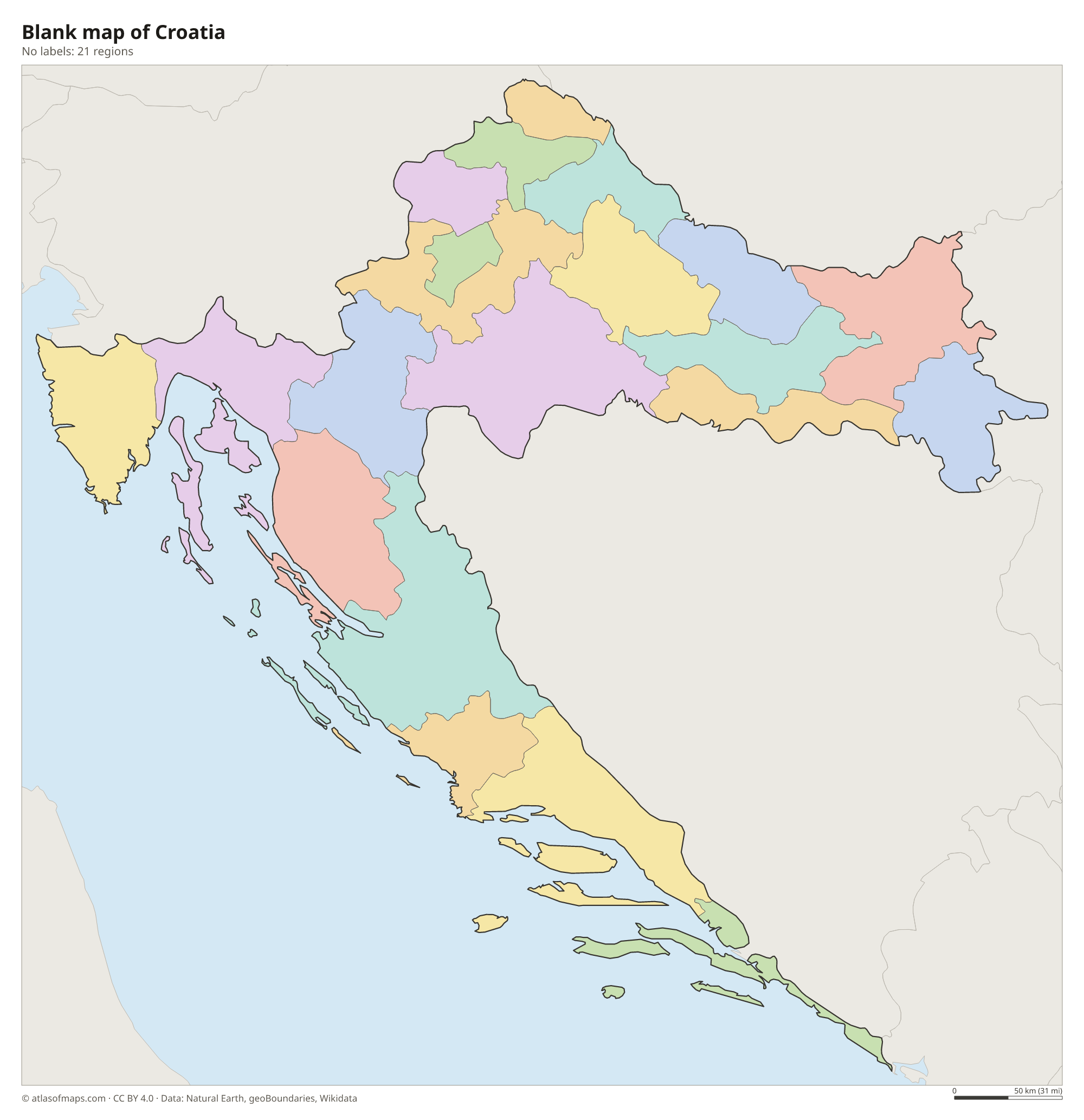
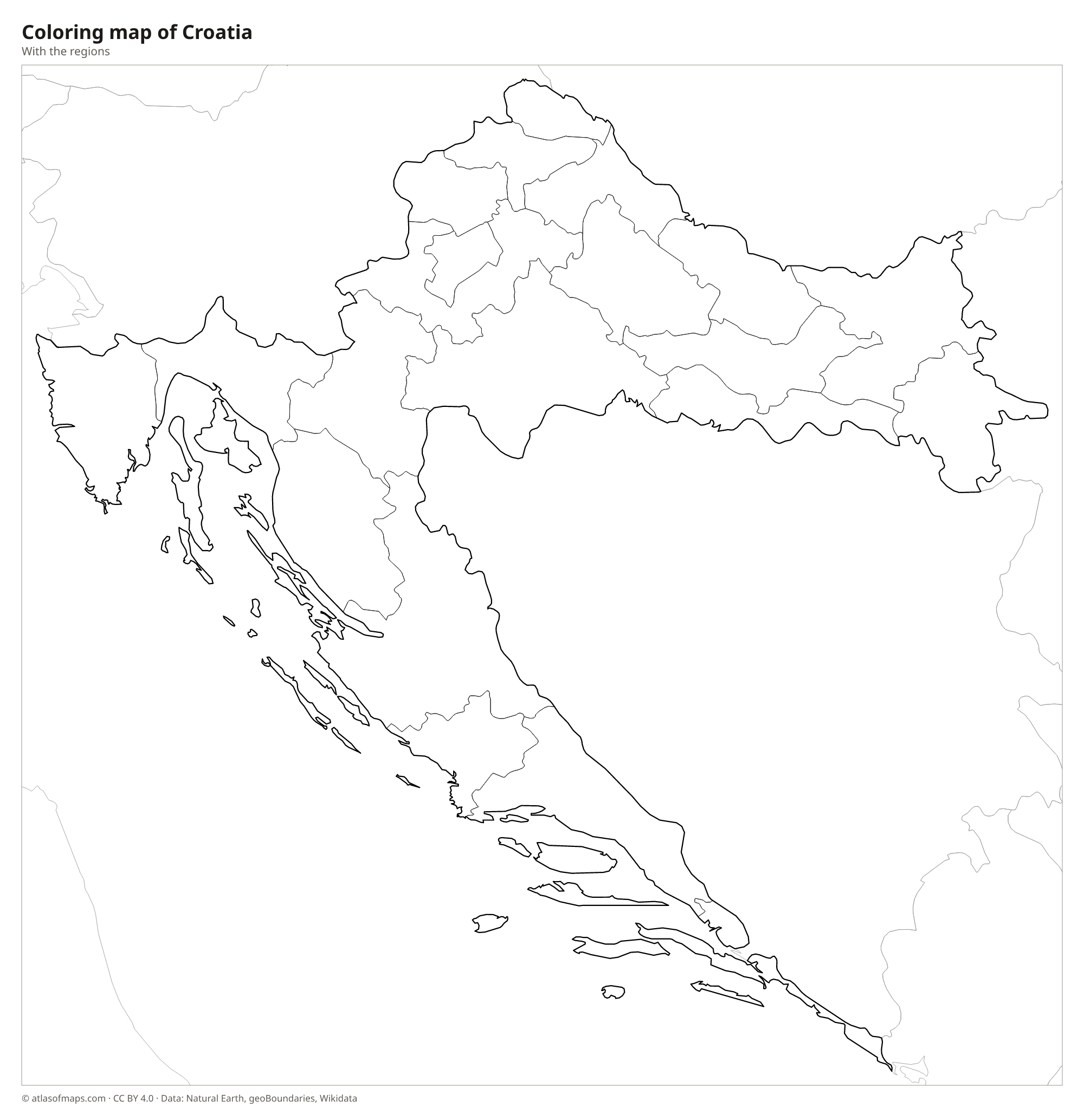
Blank and coloring maps of Croatia
Blank map of Croatia

Coloring map of Croatia

Geography of Croatia
Croatia has an unusual crescent shape that curves around Bosnia and Herzegovina, and its 56,594 km² (21,851 sq mi) fall into three main landscapes. In the north and east lies the flat, fertile Pannonian Plain of Slavonia, crossed by the Drava, Sava and Danube rivers. The center is made up of the forested Dinaric Alps, karst plateaus and the Lika region, while the long Adriatic coast runs from Istria in the northwest to Dubrovnik in the far south. Dinara, the highest peak, reaches 1,831 m (6,007 ft) near the Bosnian border.
The coast is one of the most indented in Europe, with more than a thousand islands, islets and reefs; Krk and Cres are the largest islands. Because of the karst rock, many rivers run underground, and the Plitvice Lakes, a series of terraced lakes linked by waterfalls, are Croatia's best-known natural sight. The coast has a Mediterranean climate with hot, dry summers, while the interior has a continental climate with cold winters. Near Neum, a short strip of Bosnian coast separates the Dubrovnik area from the rest of Croatia.
Fun facts
- The Pelješac Bridge, opened in 2022, connects the Dubrovnik area to the rest of Croatia without crossing the Bosnian coast at Neum.
- Plitvice Lakes National Park, with 16 terraced lakes, joined the UNESCO World Heritage List in 1979.
- Croatia adopted the euro and joined the Schengen Area on January 1, 2023.
Flag of Croatia
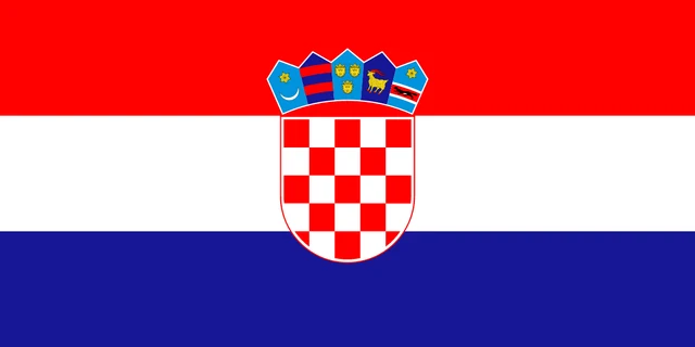
The flag of Croatia is a horizontal tricolor of red, white and blue with the Croatian coat of arms in the center. The coat of arms is a red-and-white checkerboard shield, topped by a crown of five small shields: the oldest known Croatian arms, followed by the arms of Dubrovnik, Dalmatia, Istria and Slavonia.
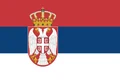
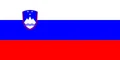
Countries bordering Croatia
Frequently asked questions
What countries border Croatia?
Croatia borders five countries: Slovenia to the northwest, Hungary to the north, Serbia to the east, Bosnia and Herzegovina to the south and east, and Montenegro in the far south near Dubrovnik.
How many counties does Croatia have?
Croatia has 21 regions: 20 counties and the City of Zagreb, which is both the capital and a county-level unit. Each county has its own seat, such as Split, Rijeka or Osijek.
How many islands does Croatia have?
Croatia has more than a thousand islands, islets and reefs along its Adriatic coast, but only around fifty are inhabited. The largest islands are Krk and Cres in the Kvarner Gulf.
What is the capital of Croatia?
The capital of Croatia is Zagreb.
How many regions does Croatia have?
Croatia is divided into 21 regions: Bjelovar-Bilogora, Brod-Posavina, Dubrovnik-Neretva, Grad Zagreb, Istria, Karlovac, Koprivnica-Križevci, Krapina-Zagorje, Lika-Senj, Međimurje, Osijek-Baranja, Požega-Slavonia, Primorje-Gorski, Šibenik-Knin, Sisak-Moslavina, Split-Dalmatia, Varaždin, Virovitica-Podravina, Vukovar-Syrmia, Zadar, and Zagrebacka.
What language is spoken in Croatia?
The official language is Croatian.
Can I print the map of Croatia?
Yes. Every map on this page can be downloaded for free as PNG or PDF (US Letter) and printed, including the blank map and the coloring map. Please credit the source (Atlas of Maps, CC BY 4.0).
Use this map
You can download, print and share this map for free, in class, in school projects, in presentations and on websites, as long as you credit the source: Map of Croatia · Atlas of Maps (atlasofmaps.com), license CC BY 4.0.
See also: Map of Europe · Map of the European Union · World map