Map of Serbia with districts and capitals
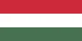
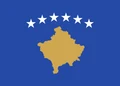
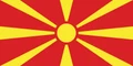
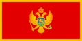
Serbia is a landlocked country in Southeast Europe, in the center of the Balkan Peninsula. It borders Hungary, Romania, Bulgaria, North Macedonia, Montenegro, Bosnia and Herzegovina and Croatia, as well as Kosovo, whose independence Serbia does not recognize. The political map shows its 25 districts, the capital, Belgrade, and major cities.

- Capital
- Belgrade
- Population
- 6.6 million (2024)
- Area
- 88,499 km² (34,170 sq mi)
- Population density
- 75 per km² (193 per sq mi)
- Official language
- Serbian
- Currency
- Serbian dinar
- Demonym
- Serbian
- Districts
- 25
- Highest point
- Velika Rudoka (2,658 m (8,720 ft))
- Calling code
- +381
- Internet domain
- .rs
Where is Serbia?
Serbia is a landlocked country in Southeast Europe, in the center of the Balkan Peninsula. It borders Hungary, Romania, Bulgaria, North Macedonia, Montenegro, Bosnia and Herzegovina and Croatia, as well as Kosovo, whose independence Serbia does not recognize.
Neighboring countries: Bulgaria, Bosnia and Herzegovina, Croatia, Hungary, Kosovo, North Macedonia, Montenegro, Romania.

Districts of Serbia and their capitals
The map shows Serbia divided into 25 units: 24 districts and the City of Belgrade. The northern districts form the autonomous province of Vojvodina. Kosovo, which declared independence in 2008, is shown as a separate country; Serbia considers it part of its territory.
| District | Capital | Population | Area |
|---|---|---|---|
| Belgrade | Belgrade | 1,197,714 | 360 km² (139 sq mi) |
| Bor | Bor | 101,100 | 3,507 km² (1,354 sq mi) |
| Braničevo | Požarevac | 156,367 | 3,865 km² (1,492 sq mi) |
| Central Banat | Zrenjanin | 157,711 | 3,256 km² (1,257 sq mi) |
| Jablanica | Leskovac | 184,502 | 2,769 km² (1,069 sq mi) |
| Kolubara | Valjevo | 154,497 | 2,474 km² (955 sq mi) |
| Mačva | Šabac | 265,377 | 3,268 km² (1,262 sq mi) |
| Moravica | Čačak | 189,281 | 3,016 km² (1,164 sq mi) |
| Nišava | Niš | 343,950 | 2,729 km² (1,054 sq mi) |
| North Bačka | Subotica | 160,163 | 1,784 km² (689 sq mi) |
| North Banat | Kikinda | 117,896 | 2,329 km² (899 sq mi) |
| Pčinja | Vranje | 193,802 | 3,520 km² (1,359 sq mi) |
| Pirot | Pirot | 76,700 | 2,761 km² (1,066 sq mi) |
| Podunavlje | Smederevo | 175,573 | 1,248 km² (482 sq mi) |
| Pomoravski | — | — | — |
| Rasina | Kruševac | 207,197 | 2,667 km² (1,030 sq mi) |
| Raška | Kraljevo | 296,532 | 3,918 km² (1,513 sq mi) |
| South Bačka | Novi Sad | 607,178 | 4,016 km² (1,551 sq mi) |
| South Banat | Pančevo | 293,730 | 4,245 km² (1,639 sq mi) |
| Srem | Sremska Mitrovica | 282,547 | 3,486 km² (1,346 sq mi) |
| Šumadija | Kragujevac | 269,728 | 2,387 km² (922 sq mi) |
| Toplica | Prokuplje | 77,341 | 2,231 km² (861 sq mi) |
| West Bačka | Sombor | 154,491 | 2,420 km² (934 sq mi) |
| Zaječar | Zaječar | 96,715 | 3,623 km² (1,399 sq mi) |
| Zlatibor | Užice | 254,659 | 6,140 km² (2,371 sq mi) |
Population from Wikidata (latest figure available for each district).
Blank and coloring maps of Serbia
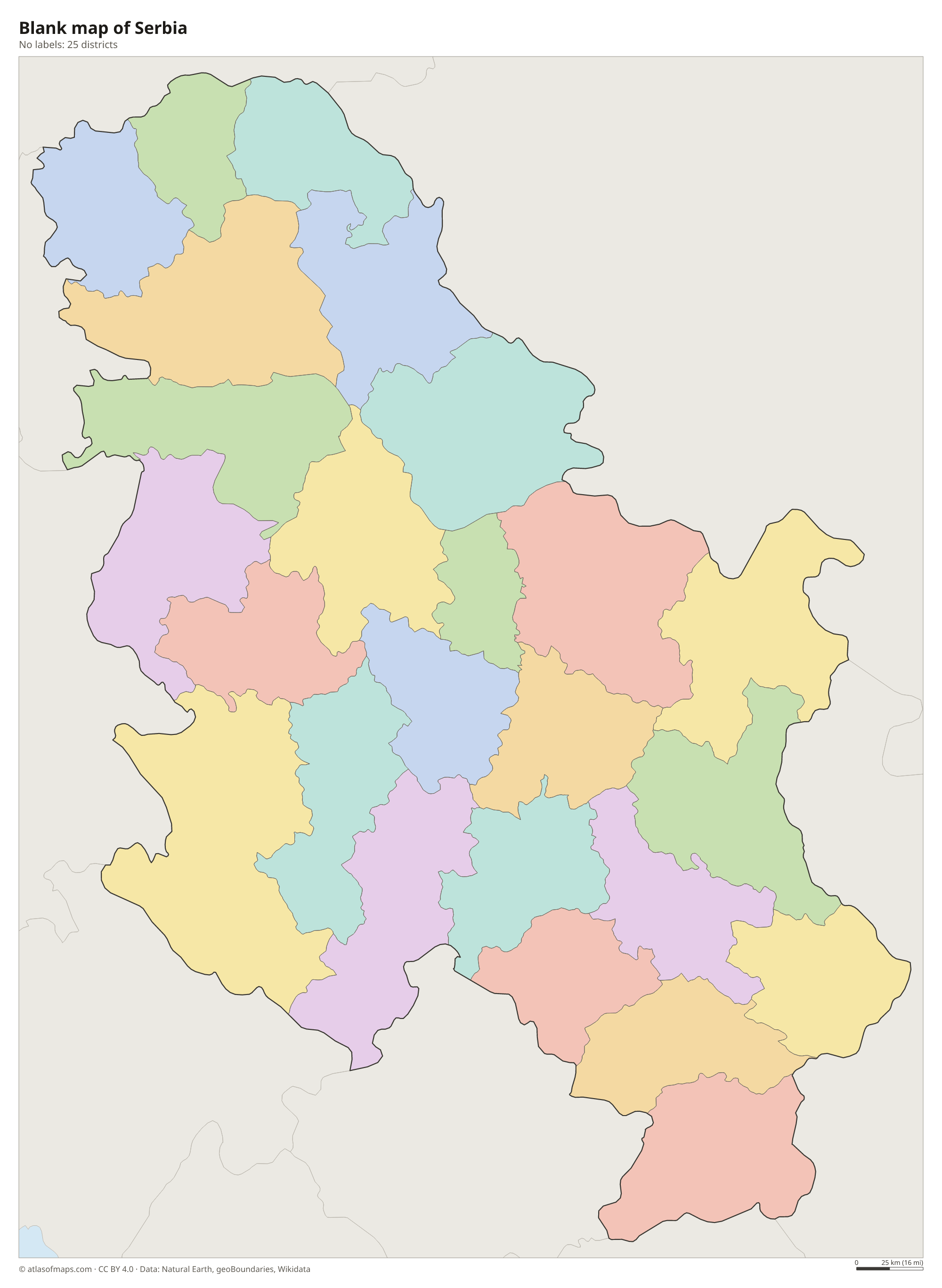
Blank map of Serbia

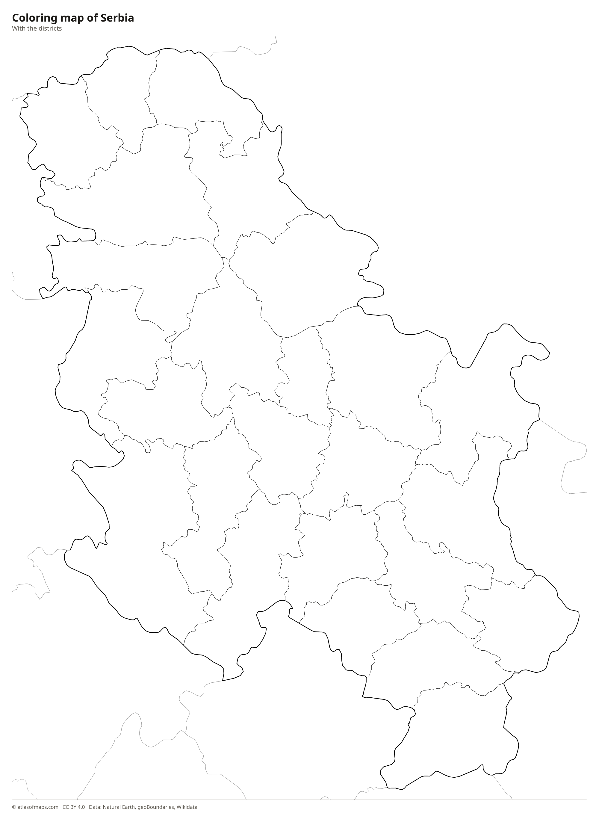
Coloring map of Serbia

Geography of Serbia
Northern Serbia, the autonomous province of Vojvodina, is part of the flat and fertile Pannonian Plain, crossed by the Danube and Tisza and covered in grain fields. South of the Sava and Danube rivers, the land rises into hills and mountains. The Dinaric Alps cover the west and southwest, and the Carpathian and Balkan Mountains reach into the east, where the Danube cuts through the Iron Gates gorge on the Romanian border. Serbia lists Velika Rudoka in the Šar Mountains, at 2,658 m (8,720 ft), as its highest point; the peak lies on the border between Kosovo and North Macedonia.
The Danube flows through Serbia for a long stretch and meets the Sava at Belgrade, the capital. The Great Morava, formed by the West and South Morava, runs north through the central region of Šumadija to the Danube. Serbia has few natural lakes, among them Lake Palić in the north, but several reservoirs. National parks such as Tara, Kopaonik and Đerdap protect forests, mountains and gorges. The climate is continental, with hot summers and cold winters, and more snow in the mountains.
Fun facts
- Belgrade, the capital, stands where the Sava River flows into the Danube.
- Đavolja Varoš, or Devil's Town, in southern Serbia is a group of about 200 tall earth pillars topped with stone caps.
- Vojvodina is home to many ethnic groups, and Hungarian, Slovak and Romanian are among its regional official languages.
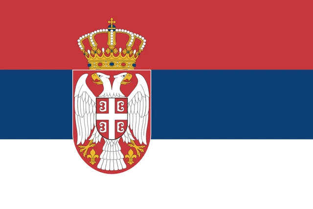
Flag of Serbia
The flag of Serbia has three equal horizontal stripes of red, blue and white, from top to bottom. The state flag adds the lesser coat of arms, placed slightly toward the hoist: a white double-headed eagle on a red shield, with a smaller red shield on its chest showing a white cross, all topped by a crown.
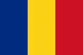
Countries bordering Serbia
Frequently asked questions
What countries border Serbia?
Serbia borders Hungary, Romania, Bulgaria, North Macedonia, Montenegro, Bosnia and Herzegovina and Croatia. It also borders Kosovo, which declared independence in 2008 but which Serbia does not recognize.
How many districts does Serbia have?
The map shows Serbia with 24 districts plus the City of Belgrade, 25 units in total, not counting Kosovo. Districts are administrative areas that group several municipalities.
Is Serbia in the Balkans?
Yes. Serbia lies in the central Balkans, although its northern province, Vojvodina, belongs to the Pannonian Plain of Central Europe. The country is landlocked.
What is the capital of Serbia?
The capital of Serbia is Belgrade.
What language is spoken in Serbia?
The official language is Serbian.
Can I print the map of Serbia?
Yes. Every map on this page can be downloaded for free as PNG or PDF (US Letter) and printed, including the blank map and the coloring map. Please credit the source (Atlas of Maps, CC BY 4.0).
Use this map
You can download, print and share this map for free, in class, in school projects, in presentations and on websites, as long as you credit the source: Map of Serbia · Atlas of Maps (atlasofmaps.com), license CC BY 4.0.
See also: Map of Europe · World map