Map of Montenegro
Montenegro is a small country in Southeast Europe, on the Adriatic coast of the Balkan Peninsula. It borders Croatia, Bosnia and Herzegovina, Serbia, Kosovo and Albania, and faces Italy across the Adriatic Sea. The political map shows its regions, the capital, Podgorica, and major cities.

- Capital
- Podgorica
- Population
- 617,213 (2022)
- Area
- 13,883 km² (5,360 sq mi)
- Population density
- 44 per km² (115 per sq mi)
- Official language
- Montenegrin
- Currency
- euro
- Demonym
- Montenegrin
- Highest point
- Zla Kolata (2,534 m (8,314 ft))
- Calling code
- +382
- Internet domain
- .me
Where is Montenegro?
Montenegro is a small country in Southeast Europe, on the Adriatic coast of the Balkan Peninsula. It borders Croatia, Bosnia and Herzegovina, Serbia, Kosovo and Albania, and faces Italy across the Adriatic Sea.
Neighboring countries: Albania, Bosnia and Herzegovina, Croatia, Kosovo, Serbia.

Regions of Montenegro and their capitals
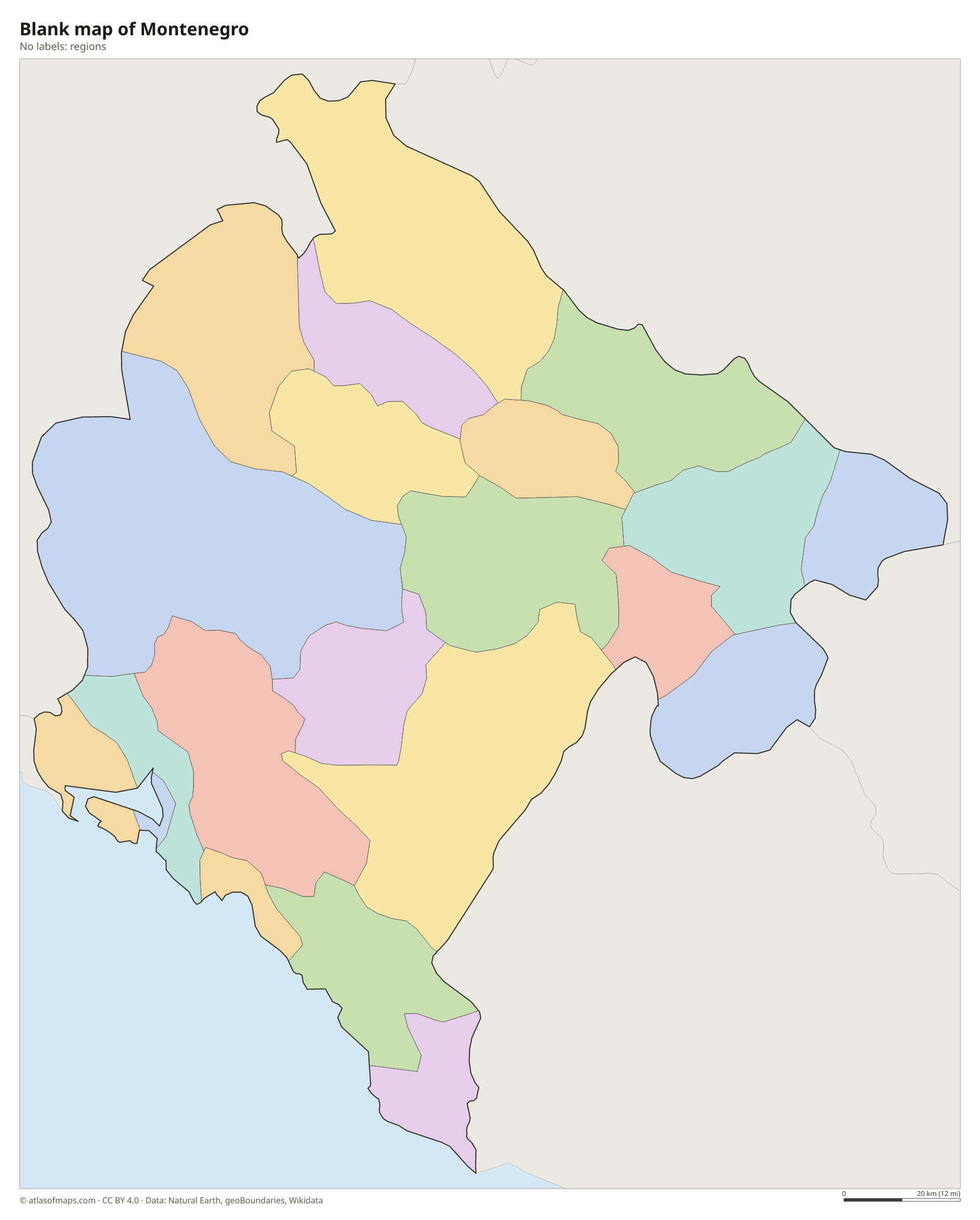
Montenegro is divided into municipalities, and the map draws them from Natural Earth data. Several new municipalities have been created in recent years, so the borders on the map may not match the current official ones.
The divisions on the map come from Natural Earth and may not reflect the latest territorial reform in Montenegro.
| Region | Capital | Population | Area |
|---|---|---|---|
| Andrijevica | Andrijevica | 4,790 | 340 km² (131 sq mi) |
| Bar | Bar | 43,693 | 598 km² (231 sq mi) |
| Berane | Berane | 27,256 | 717 km² (277 sq mi) |
| Bijelo Polje | Bijelo Polje | 43,468 | 924 km² (357 sq mi) |
| Budva | Budva | 20,982 | 122 km² (47 sq mi) |
| Cetinje | Cetinje | 15,181 | 910 km² (351 sq mi) |
| Danilovgrad | Danilovgrad | 18,307 | 501 km² (193 sq mi) |
| Herceg Novi | Herceg Novi | 30,690 | 235 km² (91 sq mi) |
| Kolašin | Kolašin | 7,553 | 897 km² (346 sq mi) |
| Kotor | Kotor | 21,916 | 335 km² (129 sq mi) |
| Mojkovac | Mojkovac | 7,938 | 367 km² (142 sq mi) |
| Nikšić | Nikšić | 72,443 | 2,065 km² (797 sq mi) |
| Plav | Plav | 8,628 | 486 km² (188 sq mi) |
| Pljevlja | Pljevlja | 28,124 | 1,346 km² (520 sq mi) |
| Plužine | Plužine | 2,777 | 854 km² (330 sq mi) |
| Podgorica | Podgorica | 197,589 | 1,441 km² (556 sq mi) |
| Rožaje | Rožaje | 23,179 | 432 km² (167 sq mi) |
| Šavnik | Šavnik | 1,794 | 553 km² (214 sq mi) |
| Tivat | Tivat | 14,774 | 46 km² (18 sq mi) |
| Ulcinj | Ulcinj | 20,106 | 255 km² (98 sq mi) |
| Žabljak | Žabljak | 3,212 | 445 km² (172 sq mi) |
Population from Wikidata (latest figure available for each region).
Blank and coloring maps of Montenegro
Blank map of Montenegro

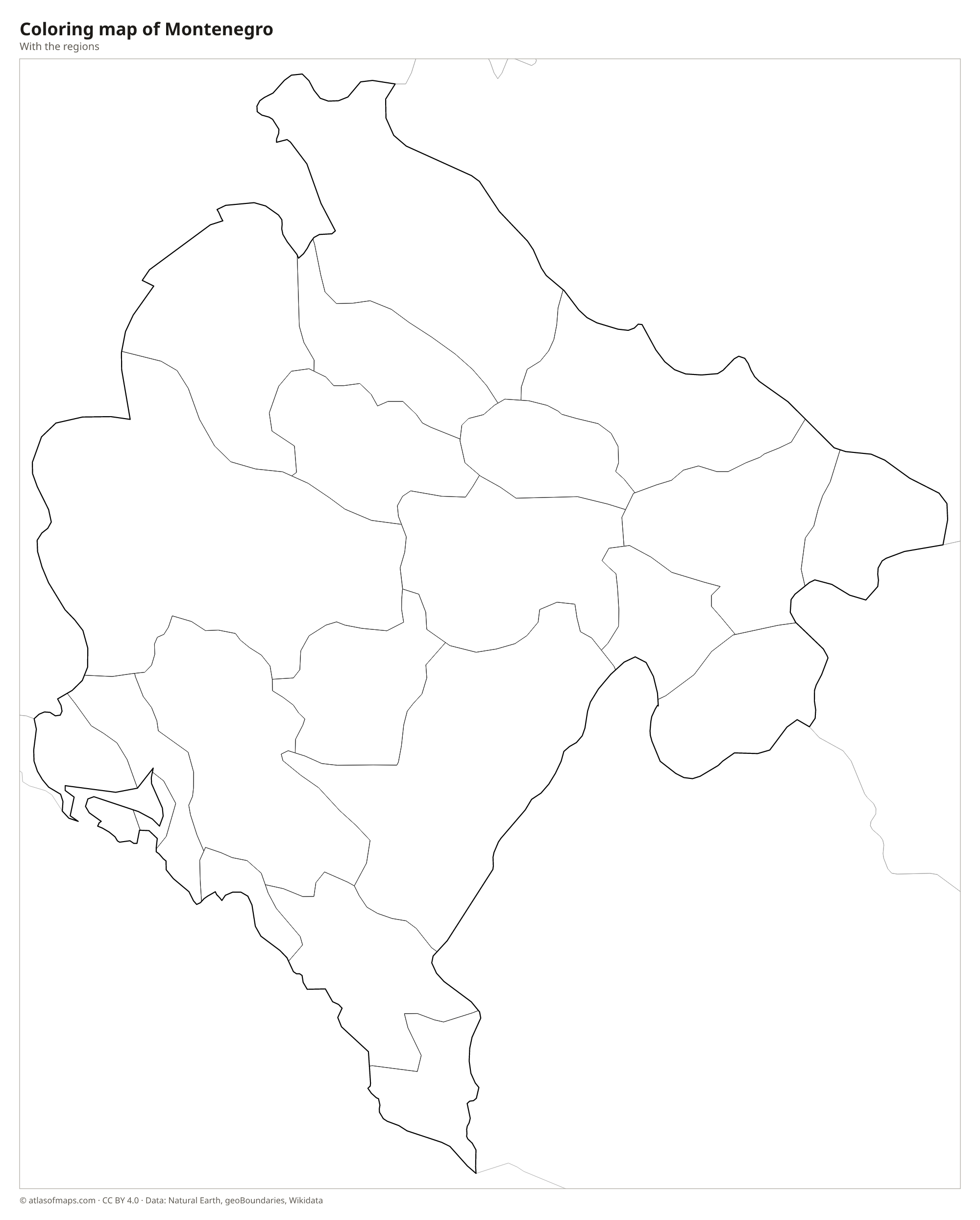
Coloring map of Montenegro

Geography of Montenegro
Montenegro covers 13,883 km² (5,360 sq mi) and is very mountainous. Behind a narrow coastal strip, the limestone Dinaric Alps rise steeply, forming a rocky karst landscape of bare plateaus, sinkholes and caves. In the north, high ranges such as Durmitor and Bjelasica hold glacial lakes and dark forests. The highest point, Zla Kolata, reaches 2,534 m (8,314 ft) in the Prokletije range on the border with Albania. Between the mountains lies the Zeta plain around Podgorica, the country's main lowland.
The Bay of Kotor cuts deep into the mountains and looks like a fjord, although it is actually a drowned river canyon. In the north, the Tara River has carved one of the deepest canyons in Europe, and the Piva and Morača also flow through gorges. In the south, Lake Skadar, shared with Albania, is the largest lake in the Balkans. The coast has a Mediterranean climate with hot summers, while the northern highlands have cold, snowy winters.
Fun facts
- Montenegro uses the euro even though it is not a member of the European Union.
- Durmitor National Park, which includes the Tara River Canyon, is a UNESCO World Heritage Site.
- The name Montenegro means "Black Mountain", a reference to the dark forests of Mount Lovćen.
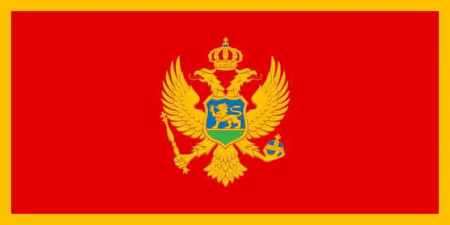
Flag of Montenegro
The flag of Montenegro is red with a gold border around all four edges. In the center is the national coat of arms: a gold double-headed eagle with a crown above it, holding a scepter and an orb. On its chest is a shield showing a gold lion walking across green ground in front of a blue sky. The flag has a 1:2 ratio.
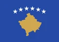
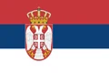
Countries bordering Montenegro
Frequently asked questions
What countries border Montenegro?
Montenegro borders five countries: Croatia, Bosnia and Herzegovina, Serbia, Kosovo and Albania. Kosovo declared independence from Serbia in 2008, which Serbia does not recognize.
What is the capital of Montenegro?
Podgorica is the capital and largest city. The old royal capital, Cetinje, still holds the official residence of the president and several national institutions.
Is Montenegro in the European Union?
No. Montenegro is a candidate to join the European Union but is not yet a member, although it already uses the euro as its currency.
What language is spoken in Montenegro?
The official language is Montenegrin.
Can I print the map of Montenegro?
Yes. Every map on this page can be downloaded for free as PNG or PDF (US Letter) and printed, including the blank map and the coloring map. Please credit the source (Atlas of Maps, CC BY 4.0).
Use this map
You can download, print and share this map for free, in class, in school projects, in presentations and on websites, as long as you credit the source: Map of Montenegro · Atlas of Maps (atlasofmaps.com), license CC BY 4.0.
See also: Map of Europe · World map