Map of Burundi
Burundi is a small landlocked country in East Africa, in the African Great Lakes region. It borders Rwanda to the north, Tanzania to the east and south, and the Democratic Republic of the Congo to the west, partly across Lake Tanganyika. The political map shows its regions, the capital, Gitega, and major cities.

- Capital
- Gitega
- Population
- 13.7 million (2023)
- Area
- 27,834 km² (10,747 sq mi)
- Population density
- 492 per km² (1,274 per sq mi)
- Official languages
- Kirundi, French, and English
- Currency
- Burundian franc
- Demonym
- Burundian
- Highest point
- Mount Heha (2,684 m (8,806 ft))
- Calling code
- +257
- Internet domain
- .bi
- Official name
- Republic of Burundi
Where is Burundi?
Burundi is a small landlocked country in East Africa, in the African Great Lakes region. It borders Rwanda to the north, Tanzania to the east and south, and the Democratic Republic of the Congo to the west, partly across Lake Tanganyika.
Neighboring countries: Democratic Republic of the Congo, Rwanda, Tanzania.

Regions of Burundi and their capitals
Burundi is divided into provinces, which are split into communes. The country has recently reorganized its provinces, so the divisions on the map, which come from Natural Earth, may not reflect the current borders.
The divisions on the map come from Natural Earth and may not reflect the latest territorial reform in Burundi.
| Region | Capital | Population | Area |
|---|---|---|---|
| Bubanza | Bubanza | 338,023 | 1,089 km² (420 sq mi) |
| Bujumbura Mairie | Bujumbura | 497,166 | 87 km² (34 sq mi) |
| Bujumbura Rural | Isale | 555,933 | 1,319 km² (509 sq mi) |
| Bururi | Bururi | 574,013 | 2,456 km² (948 sq mi) |
| Cankuzo | Cankuzo | 228,873 | 1,965 km² (759 sq mi) |
| Cibitoke | Cibitoke | 460,435 | 1,636 km² (632 sq mi) |
| Gitega | Gitega | 725,223 | 4,546 km² (1,755 sq mi) |
| Karuzi | Karuzi | 436,443 | 1,457 km² (563 sq mi) |
| Kayanza | Kayanza | 585,412 | 1,233 km² (476 sq mi) |
| Kirundo | Kirundo | 628,256 | 1,703 km² (658 sq mi) |
| Makamba | Makamba | 430,899 | 1,960 km² (757 sq mi) |
| Muramvya | Muramvya | 292,589 | 696 km² (269 sq mi) |
| Muyinga | Muyinga | 632,409 | 1,836 km² (709 sq mi) |
| Mwaro | Mwaro | 273,143 | 840 km² (324 sq mi) |
| Ngozi | Ngozi | 660,717 | 1,474 km² (569 sq mi) |
| Rutana | Rutana | 333,510 | 1,959 km² (756 sq mi) |
| Ruyigi | Ruyigi | 400,530 | 2,339 km² (903 sq mi) |
Population from Wikidata (latest figure available for each region).
Blank and coloring maps of Burundi
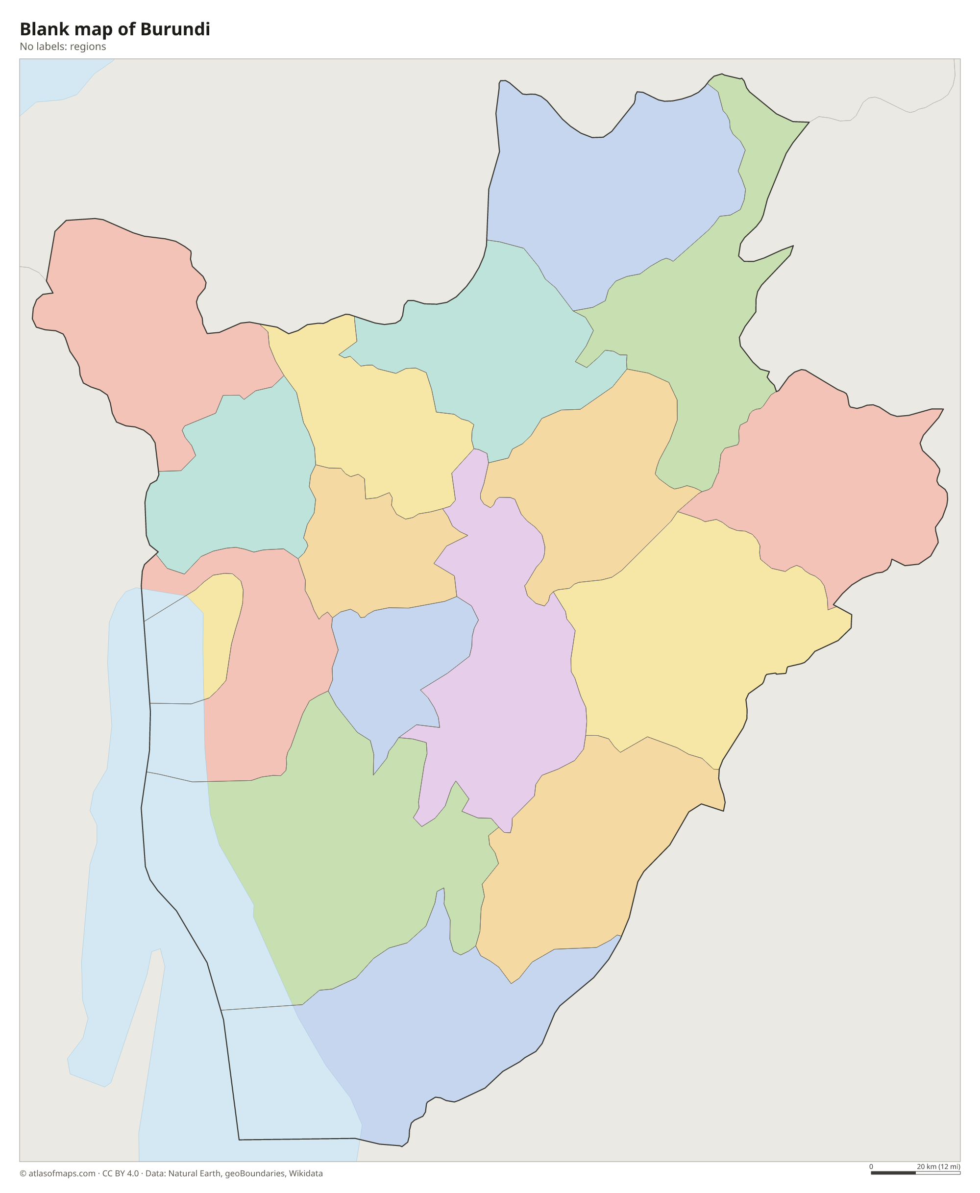
Blank map of Burundi

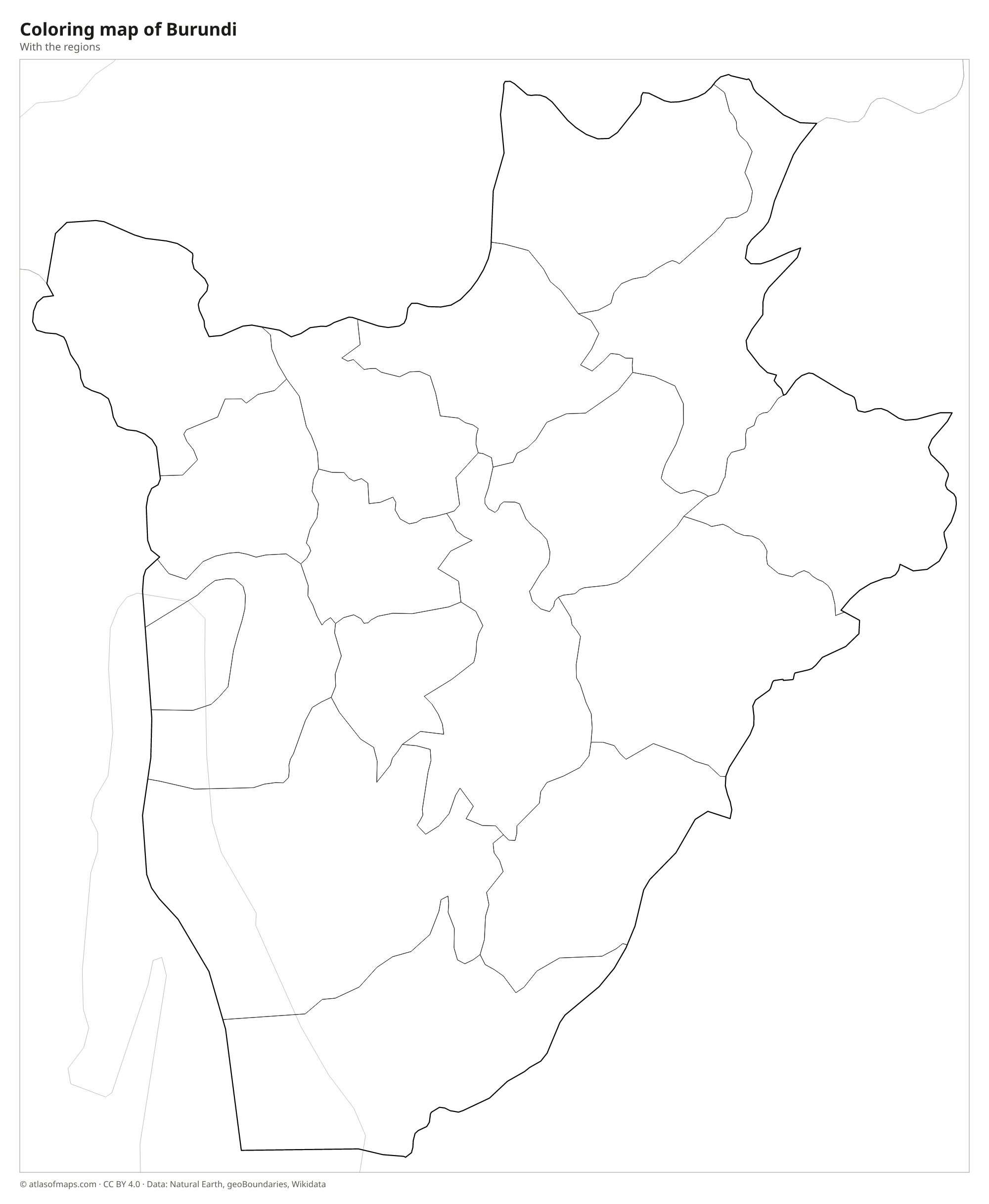
Coloring map of Burundi

Geography of Burundi
Burundi covers 27,834 km² (10,747 sq mi) of hills and mountains. A mountain ridge, the Congo-Nile Divide, runs from north to south in the west of the country, separating the basins of the two great rivers. The highest point, Mount Heha, reaches 2,684 m (8,806 ft) on this ridge. East of it, a high central plateau of rolling hills covers most of the country, while in the west the land drops steeply to the narrow Imbo plain along the Rusizi River and Lake Tanganyika.
Lake Tanganyika, on the southwestern border, is the second-deepest lake in the world. Rivers west of the Congo-Nile Divide drain into the lake and on to the Congo, while those to the east, such as the Ruvubu, flow through the Kagera system toward Lake Victoria and the Nile. A small stone pyramid near Rutovu marks a spring often considered the southernmost source of the Nile. The climate is tropical but cooled by altitude, with two rainy seasons. Kibira National Park protects mountain rainforest. About 13.7 million people (2023) live in Burundi.
Fun facts
- Lake Tanganyika is the longest freshwater lake in the world and is shared by Burundi, Tanzania, the Democratic Republic of the Congo and Zambia.
- The Rusizi River, which drains Lake Kivu into Lake Tanganyika, forms part of Burundi's border with the Democratic Republic of the Congo.
- Burundi is one of the most densely populated countries in Africa.
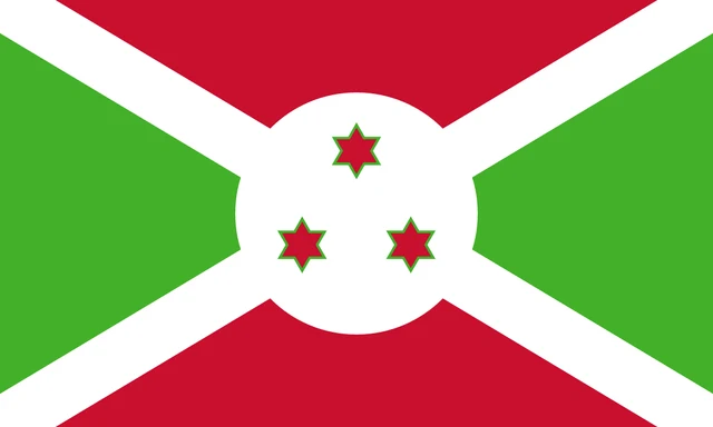
Flag of Burundi
The flag of Burundi is divided by a white diagonal cross into four triangles: red at the top and bottom, and green at the hoist and fly. In the center is a white disc holding three red six-pointed stars outlined in green, arranged in a triangle.
Countries bordering Burundi
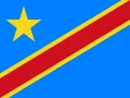
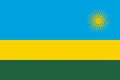
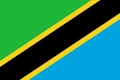
Frequently asked questions
What countries border Burundi?
Burundi borders three countries: Rwanda to the north, Tanzania to the east and south, and the Democratic Republic of the Congo to the west, partly across Lake Tanganyika.
What is the capital of Burundi?
The capital is Gitega, in the center of the country, which became the political capital in 2019. Bujumbura, on Lake Tanganyika, is the largest city and was the capital before.
What lake is Burundi on?
Burundi lies on the northeastern shore of Lake Tanganyika, one of the deepest and oldest lakes in the world. Bujumbura, the largest city, sits at the lake's northern end.
What language is spoken in Burundi?
The official languages are Kirundi, French, and English.
Can I print the map of Burundi?
Yes. Every map on this page can be downloaded for free as PNG or PDF (US Letter) and printed, including the blank map and the coloring map. Please credit the source (Atlas of Maps, CC BY 4.0).
Use this map
You can download, print and share this map for free, in class, in school projects, in presentations and on websites, as long as you credit the source: Map of Burundi · Atlas of Maps (atlasofmaps.com), license CC BY 4.0.
See also: Map of Africa · World map