Map of the Democratic Republic of the Congo with regions and capitals
The Democratic Republic of the Congo is a large country in Central Africa that straddles the equator. It borders nine countries, including Angola, Zambia, Tanzania and Uganda, and has a short Atlantic coastline at the mouth of the Congo River. The political map shows its 11 regions, the capital, Kinshasa, and major cities.
- Political map
- Where is the Democratic Republic of the Congo?
- Regions
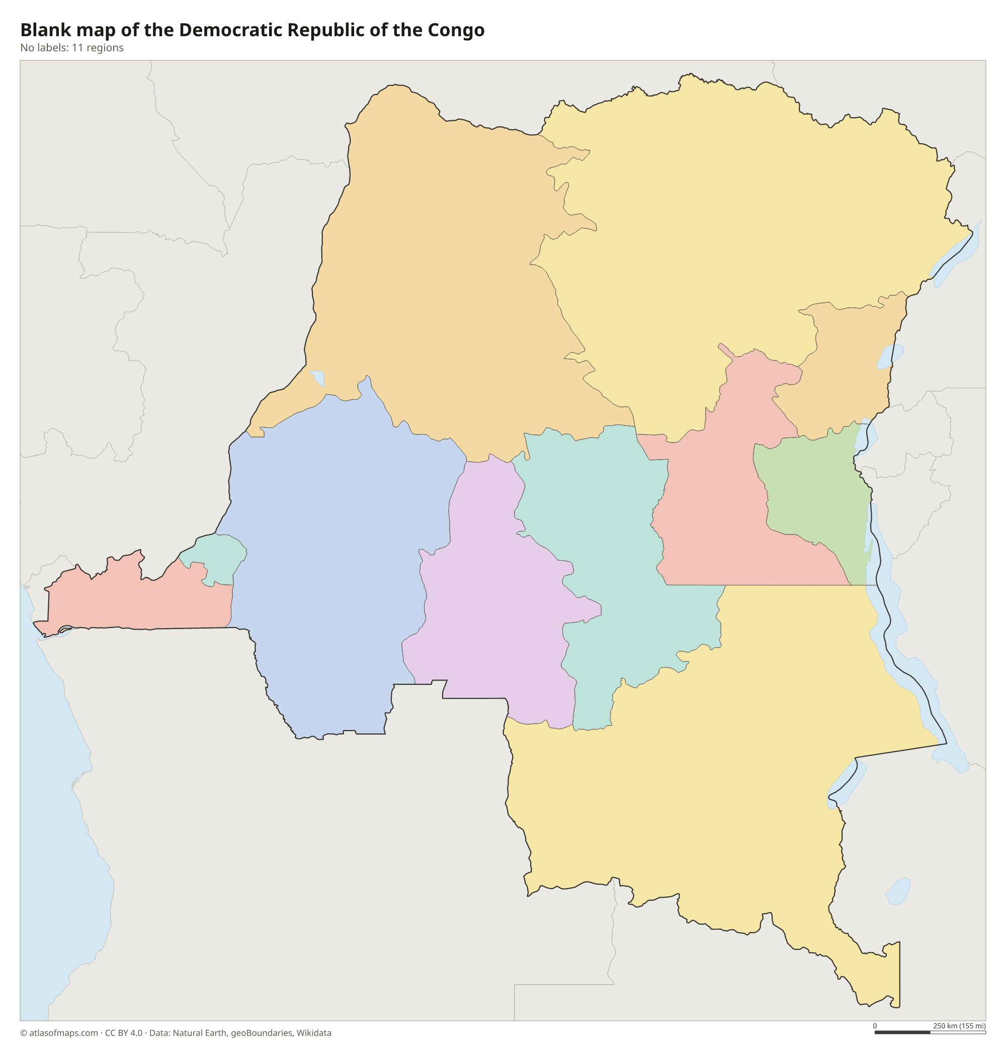
- Blank map
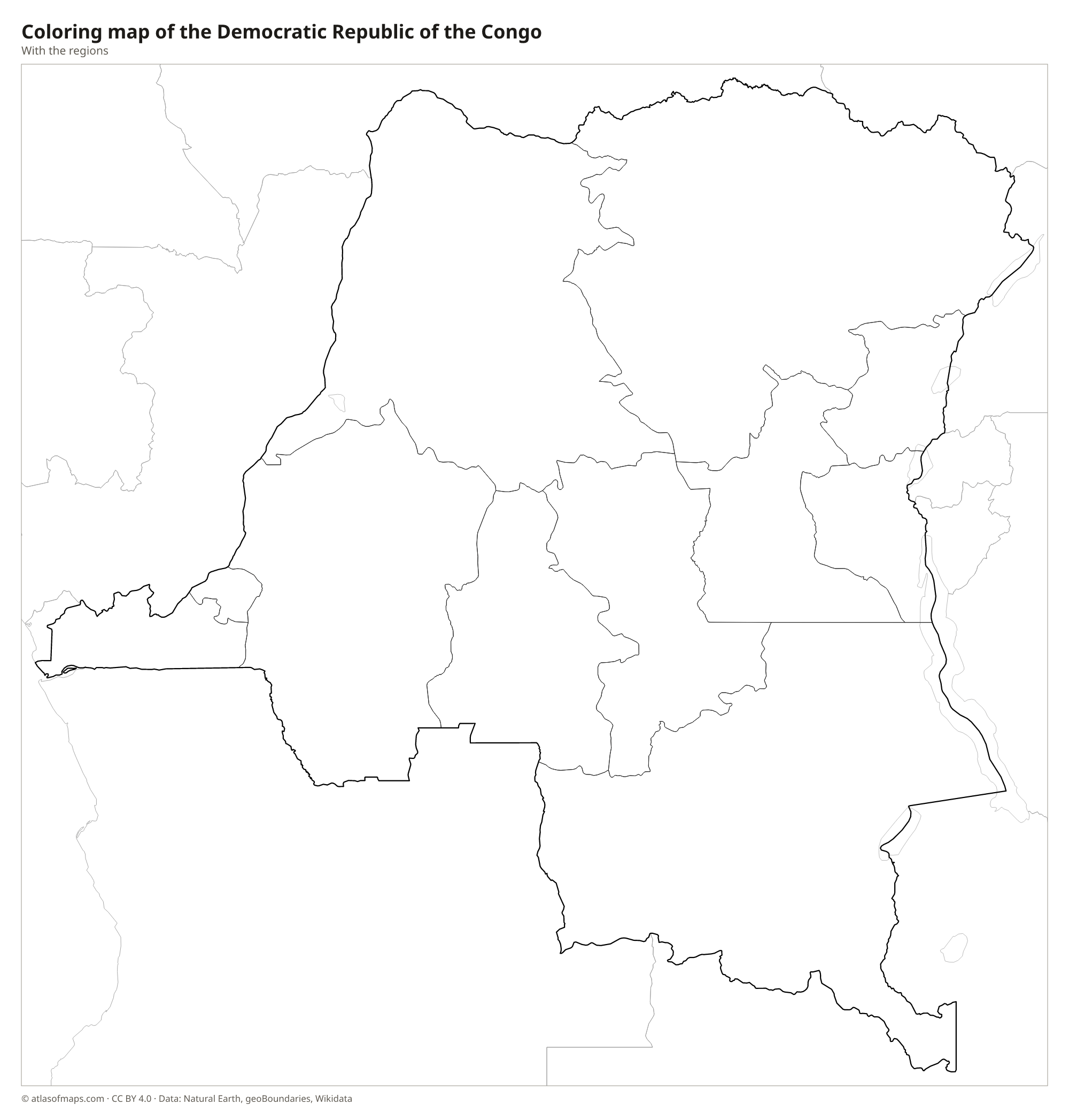
- Coloring map
- Geography
- Flag

- Capital
- Kinshasa
- Population
- 105.8 million (2023)
- Area
- 2,344,858 km² (905,355 sq mi)
- Population density
- 45 per km² (117 per sq mi)
- Official language
- French
- Currency
- Congolese franc
- Demonym
- Congolese
- Regions
- 11
- Highest point
- Mount Stanley (5,109 m (16,762 ft))
- Calling code
- +243
- Internet domain
- .cd
- Also known as
- DR Congo and Congo-Kinshasa
Where is the Democratic Republic of the Congo?
The Democratic Republic of the Congo is a large country in Central Africa that straddles the equator. It borders nine countries, including Angola, Zambia, Tanzania and Uganda, and has a short Atlantic coastline at the mouth of the Congo River.
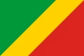
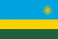
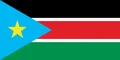
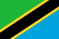
Neighboring countries: Angola, Burundi, Central African Republic, Republic of the Congo, Rwanda, South Sudan, Tanzania, Uganda, Zambia.

Regions of the Democratic Republic of the Congo and their capitals
The map shows the country divided into 11 regions, the provinces that existed before a reform in 2015. That reform split most of them into smaller provinces, so today's official map has more units; Kinshasa, the capital, is a province-level city in both systems.
| Region | Capital | Population | Area |
|---|---|---|---|
| Bandundu | Bandundu | 5,201,000 | 295,658 km² (114,154 sq mi) |
| Équateur | Mbandaka | 1,856,000 | 103,902 km² (40,117 sq mi) |
| Kasaï-Occidental | Kananga | — | 154,742 km² (59,746 sq mi) |
| Kasaï-Oriental | Mbuji-Mayi | — | 173,110 km² (66,838 sq mi) |
| Katanga | Lubumbashi | 4,125,000 | 496,871 km² (191,843 sq mi) |
| Kinshasa | Kinshasa | 14,565,700 | 9,965 km² (3,848 sq mi) |
| Kongo Central | Matadi | 6,838,500 | 53,920 km² (20,819 sq mi) |
| Maniema | Kindu | 2,856,300 | 132,520 km² (51,166 sq mi) |
| North Kivu | Goma | 8,147,400 | 59,483 km² (22,967 sq mi) |
| Orientale | Kisangani | 9,003,000 | 503,239 km² (194,302 sq mi) |
| South Kivu | Bukavu | 7,066,400 | 64,791 km² (25,016 sq mi) |
Population from Wikidata (latest figure available for each region).
Blank and coloring maps of the Democratic Republic of the Congo
Blank map of the Democratic Republic of the Congo

Coloring map of the Democratic Republic of the Congo

Geography of the Democratic Republic of the Congo
With 2,344,858 km² (905,355 sq mi), the Democratic Republic of the Congo is the second-largest country in Africa, after Algeria. Its heart is the Congo Basin, a vast, low-lying depression covered by the second-largest tropical rainforest on Earth after the Amazon. Highlands rise around the edges: the Katanga plateau in the southeast and the mountains of the Albertine Rift in the east, where Mount Stanley in the Rwenzori Mountains reaches 5,109 m (16,762 ft) on the border with Uganda. The Virunga volcanoes, including the active Nyiragongo, stand north of Lake Kivu.
The Congo River curves across the country in a great arc, crossing the equator twice before reaching the Atlantic. It is the deepest river in the world and second only to the Amazon in the volume of water it carries. Kinshasa lies on its banks, directly opposite Brazzaville in the Republic of the Congo. A chain of Rift Valley lakes, including Albert, Edward, Kivu and Tanganyika, forms much of the eastern border. The climate is hot and humid in the basin, with savanna to the north and south and cooler conditions in the eastern highlands.
Fun facts
- The Congo River is the deepest river in the world, with depths of more than 220 m (720 ft) in its lower course.
- Kinshasa and Brazzaville, the capitals of the two Congos, face each other across the Congo River, closer than any other pair of national capitals except Rome and Vatican City.
- Mount Nyiragongo in the Virunga Mountains holds one of the largest lava lakes in the world.
Flag of the Democratic Republic of the Congo
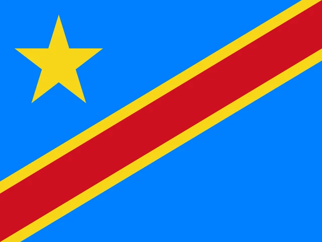
The flag of the Democratic Republic of the Congo is sky blue with a red diagonal stripe, edged in yellow, running from the lower hoist corner to the upper fly corner. A yellow five-pointed star sits in the upper hoist corner. The proportions are 3:4, which makes the flag noticeably squarer than most national flags.
Flag of the Democratic Republic of the Congo: meaning, colors and download →
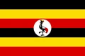
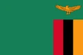
Countries bordering the Democratic Republic of the Congo
Frequently asked questions
What countries border the Democratic Republic of the Congo?
The DRC borders nine countries: the Republic of the Congo, the Central African Republic, South Sudan, Uganda, Rwanda, Burundi, Tanzania (across Lake Tanganyika), Zambia and Angola, including Angola's Cabinda exclave.
What is the difference between the DRC and the Republic of the Congo?
They are two separate countries on opposite sides of the Congo River. The much larger Democratic Republic of the Congo has its capital in Kinshasa, while the Republic of the Congo's capital is Brazzaville.
Does the DRC have a coastline?
Yes, but a very short one. The DRC reaches the Atlantic Ocean along a narrow strip at the mouth of the Congo River, between Angola's Cabinda exclave and the rest of Angola.
What is the capital of the Democratic Republic of the Congo?
The capital of the Democratic Republic of the Congo is Kinshasa.
How many regions does the Democratic Republic of the Congo have?
The Democratic Republic of the Congo is divided into 11 regions: Bandundu, Équateur, Kasaï-Occidental, Kasaï-Oriental, Katanga, Kinshasa, Kongo Central, Maniema, North Kivu, Orientale, and South Kivu.
What language is spoken in the Democratic Republic of the Congo?
The official language is French.
Can I print the map of the Democratic Republic of the Congo?
Yes. Every map on this page can be downloaded for free as PNG or PDF (US Letter) and printed, including the blank map and the coloring map. Please credit the source (Atlas of Maps, CC BY 4.0).
Use this map
You can download, print and share this map for free, in class, in school projects, in presentations and on websites, as long as you credit the source: Map of the Democratic Republic of the Congo · Atlas of Maps (atlasofmaps.com), license CC BY 4.0.
See also: Map of Africa · World map