Map of Tanzania
Tanzania is a country in East Africa on the Indian Ocean, just south of the equator. It borders Kenya and Uganda to the north; Rwanda, Burundi and the Democratic Republic of the Congo to the west; and Zambia, Malawi and Mozambique to the south. The political map shows its regions, the capital, Dodoma, and major cities.

- Capital
- Dodoma
- Population
- 57.3 million (2017)
- Area
- 947,303 km² (365,756 sq mi)
- Population density
- 60 per km² (157 per sq mi)
- Official languages
- Swahili and English
- Currency
- Tanzanian shilling
- Demonym
- Tanzanian
- Highest point
- Mount Kibo (5,895 m (19,341 ft))
- Calling code
- +255
- Internet domain
- .tz
Where is Tanzania?
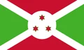
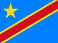
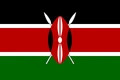
Tanzania is a country in East Africa on the Indian Ocean, just south of the equator. It borders Kenya and Uganda to the north; Rwanda, Burundi and the Democratic Republic of the Congo to the west; and Zambia, Malawi and Mozambique to the south.
Neighboring countries: Burundi, Democratic Republic of the Congo, Kenya, Mozambique, Malawi, Rwanda, Uganda, Zambia.

Regions of Tanzania and their capitals
Tanzania is divided into regions on the mainland and on the Zanzibar islands, which have their own semi-autonomous government. The map uses Natural Earth boundaries, which may not match the newest regions created in recent reforms.
The divisions on the map come from Natural Earth and may not reflect the latest territorial reform in Tanzania.
| Region | Capital | Population | Area |
|---|---|---|---|
| Arusha | Arusha | 2,356,255 | 34,526 km² (13,331 sq mi) |
| Dar es Salaam | Dar es Salaam | 5,383,728 | 1,393 km² (538 sq mi) |
| Dodoma | Dodoma | 3,085,625 | 41,311 km² (15,950 sq mi) |
| Geita | Geita | 2,977,608 | 20,054 km² (7,743 sq mi) |
| Iringa | Iringa | 1,192,728 | 35,503 km² (13,708 sq mi) |
| Kagera | Bukoba | 2,989,299 | 25,265 km² (9,755 sq mi) |
| Katavi | Mpanda | 1,152,958 | 45,843 km² (17,700 sq mi) |
| Kigoma | Kigoma | 2,470,967 | 37,040 km² (14,301 sq mi) |
| Kilimanjaro | Moshi | 1,861,934 | 13,250 km² (5,116 sq mi) |
| Lindi | Lindi | 1,194,028 | 66,040 km² (25,498 sq mi) |
| Manyara | Babati | 1,892,502 | 44,522 km² (17,190 sq mi) |
| Mara | Musoma | 2,372,015 | 21,760 km² (8,402 sq mi) |
| Mbeya | Mbeya | 2,343,754 | 62,420 km² (24,100 sq mi) |
| Mjini Magharibi | Zanzibar City | 893,169 | 230 km² (89 sq mi) |
| Morogoro | Morogoro | 3,197,104 | 70,624 km² (27,268 sq mi) |
| Mtwara | Mtwara | 1,634,947 | 16,710 km² (6,452 sq mi) |
| Mwanza | Mwanza | 3,699,872 | 9,467 km² (3,655 sq mi) |
| Njombe | Njombe | 889,946 | 21,347 km² (8,242 sq mi) |
| North Pemba | Wete | 318,214 | 574 km² (222 sq mi) |
| Pwani | Kibaha | 2,024,947 | 32,547 km² (12,566 sq mi) |
| Rukwa | Sumbawanga | 1,540,519 | 22,792 km² (8,800 sq mi) |
| Ruvuma | Songea | 1,848,794 | 63,669 km² (24,583 sq mi) |
| Shinyanga | Shinyanga | 2,241,299 | 18,901 km² (7,298 sq mi) |
| Simiyu | Bariadi | 2,140,497 | 25,212 km² (9,734 sq mi) |
| Singida | Singida | 2,008,058 | 49,340 km² (19,050 sq mi) |
| South Pemba | Mkoani | 293,840 | 332 km² (128 sq mi) |
| Tabora | Tabora | 3,391,679 | 76,150 km² (29,402 sq mi) |
| Tanga | Tanga | 2,615,597 | 26,677 km² (10,300 sq mi) |
| Unguja North | Mkokotoni | 257,290 | 470 km² (181 sq mi) |
| Unguja South | Koani | 195,873 | 854 km² (330 sq mi) |
Population from Wikidata (latest figure available for each region).
Blank and coloring maps of Tanzania
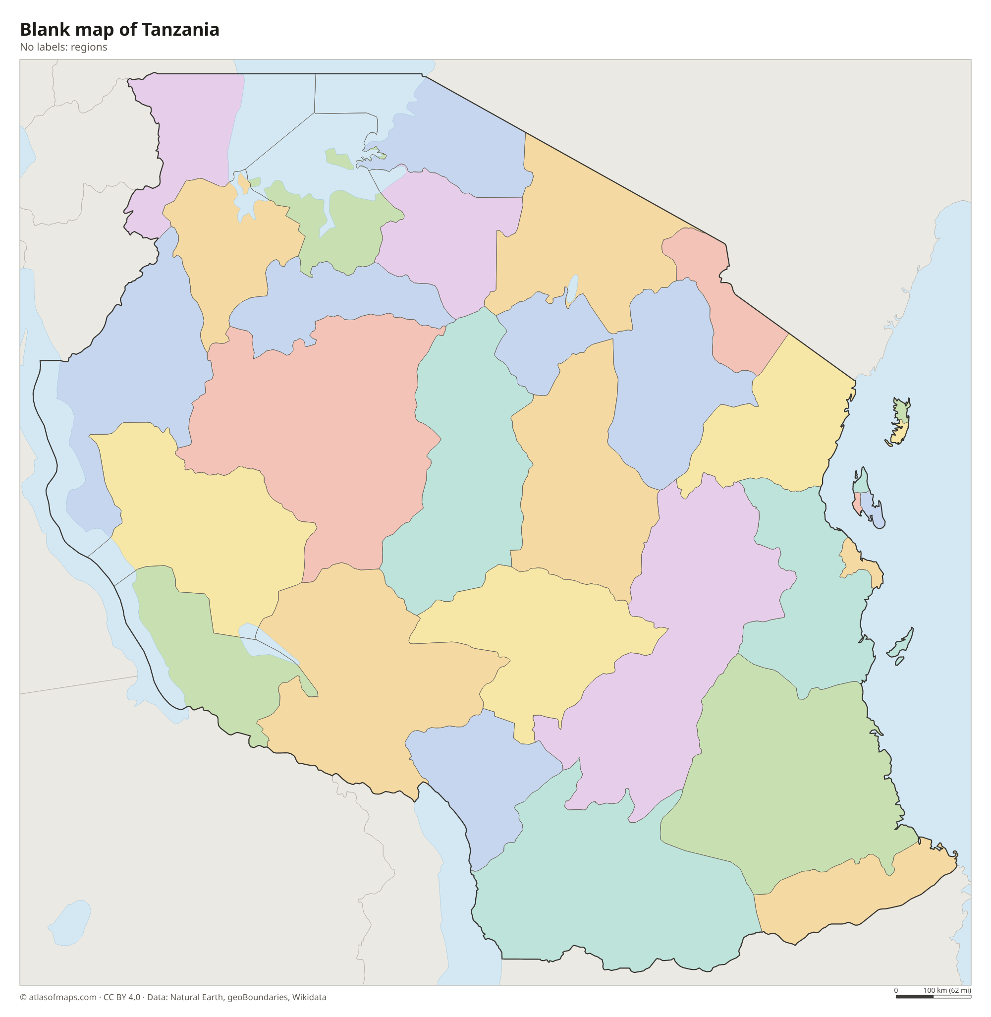
Blank map of Tanzania

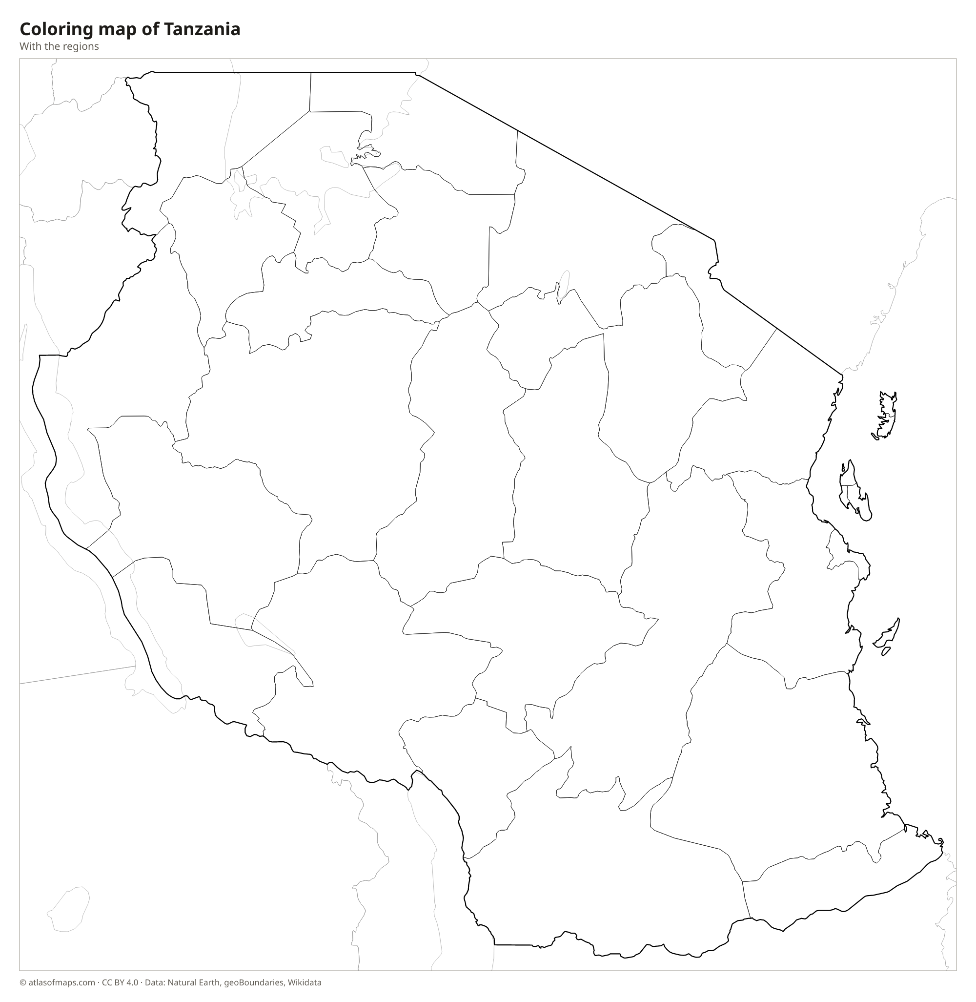
Coloring map of Tanzania

Geography of Tanzania
Tanzania covers about 947,303 km² (365,756 sq mi), including the islands of Zanzibar (Unguja), Pemba and Mafia in the Indian Ocean. A flat coastal strip rises inland to a broad central plateau of dry savanna and woodland. Both branches of the East African Rift cross the country, with volcanoes along them in the north. The tallest is Mount Kilimanjaro, near the Kenyan border, whose summit cone, Kibo, reaches 5,895 m (19,341 ft), the highest point in Africa. Nearby lie the Ngorongoro Crater and the grassy plains of the Serengeti.
Tanzania touches Africa's three largest lakes. Lake Victoria, shared with Kenya and Uganda, lies in the north; Lake Tanganyika, one of the deepest lakes in the world, forms much of the western border; and Lake Nyasa (Lake Malawi) lies in the southwest. The Rufiji is the largest river flowing entirely within the country, and the Kagera feeds Lake Victoria from the west. Most of Tanzania has a tropical climate, hot and humid on the coast and cooler in the highlands, with rainy seasons that bring water to the savannas and their wildlife.
Fun facts
- Mount Kilimanjaro is the highest mountain in Africa and the tallest free-standing mountain in the world.
- Lake Tanganyika is the longest freshwater lake in the world.
- Serengeti National Park and the Ngorongoro Conservation Area are both UNESCO World Heritage Sites.
Flag of Tanzania
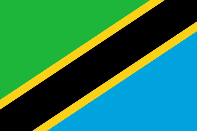
The flag of Tanzania is divided diagonally by a black band with thin yellow edges, running from the lower hoist corner to the upper fly corner. The triangle above the band is green, and the triangle below it is light blue. There is no emblem on the flag.
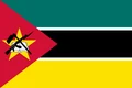
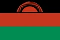
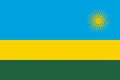
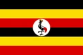
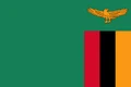
Countries bordering Tanzania
Frequently asked questions
What countries border Tanzania?
Tanzania borders eight countries: Kenya, Uganda, Rwanda, Burundi, the Democratic Republic of the Congo, Zambia, Malawi and Mozambique. The border with the Democratic Republic of the Congo runs through Lake Tanganyika.
What is the capital of Tanzania?
The capital of Tanzania is Dodoma, in the center of the country. Dar es Salaam, on the Indian Ocean, is the largest city and long served as the seat of government.
Is Zanzibar part of Tanzania?
Yes. Zanzibar, an archipelago in the Indian Ocean, united with Tanganyika in 1964 to form Tanzania. It keeps its own semi-autonomous government and president.
What language is spoken in Tanzania?
The official languages are Swahili and English.
Can I print the map of Tanzania?
Yes. Every map on this page can be downloaded for free as PNG or PDF (US Letter) and printed, including the blank map and the coloring map. Please credit the source (Atlas of Maps, CC BY 4.0).
Use this map
You can download, print and share this map for free, in class, in school projects, in presentations and on websites, as long as you credit the source: Map of Tanzania · Atlas of Maps (atlasofmaps.com), license CC BY 4.0.
See also: Map of Africa · World map