Map of Rwanda with regions and capitals
Rwanda is a small landlocked country in East Africa, just south of the equator in the African Great Lakes region. It borders Uganda to the north, Tanzania to the east, Burundi to the south and the Democratic Republic of the Congo to the west. The political map shows its 5 regions, the capital, Kigali, and major cities.

- Capital
- Kigali
- Population
- 14.6 million (2025)
- Area
- 26,338 km² (10,169 sq mi)
- Population density
- 553 per km² (1,433 per sq mi)
- Official languages
- Kinyarwanda, English, French, and Swahili
- Currency
- Rwandan franc
- Demonym
- Rwandan
- Regions
- 5
- Highest point
- Mount Karisimbi (4,507 m (14,787 ft))
- Calling code
- +250
- Internet domain
- .rw
- Official name
- Republic of Rwanda
Where is Rwanda?
Rwanda is a small landlocked country in East Africa, just south of the equator in the African Great Lakes region. It borders Uganda to the north, Tanzania to the east, Burundi to the south and the Democratic Republic of the Congo to the west.
Neighboring countries: Burundi, Democratic Republic of the Congo, Tanzania, Uganda.

Regions of Rwanda and their capitals
Rwanda is divided into four provinces, Northern, Southern, Eastern and Western, plus the City of Kigali, giving 5 units on the map. The provinces are further divided into districts.
| Region | Capital | Population | Area |
|---|---|---|---|
| Eastern | Rwamagana | 3,563,145 | 9,813 km² (3,789 sq mi) |
| Kigali | Kigali | 1,745,555 | 730 km² (282 sq mi) |
| Northern | Byumba hospital | 2,038,511 | 3,276 km² (1,265 sq mi) |
| Southern | Nyanza | 3,002,699 | 6,118 km² (2,362 sq mi) |
| Western | Kibuye | 2,896,484 | 5,882 km² (2,271 sq mi) |
Population from Wikidata (latest figure available for each region).
Blank and coloring maps of Rwanda
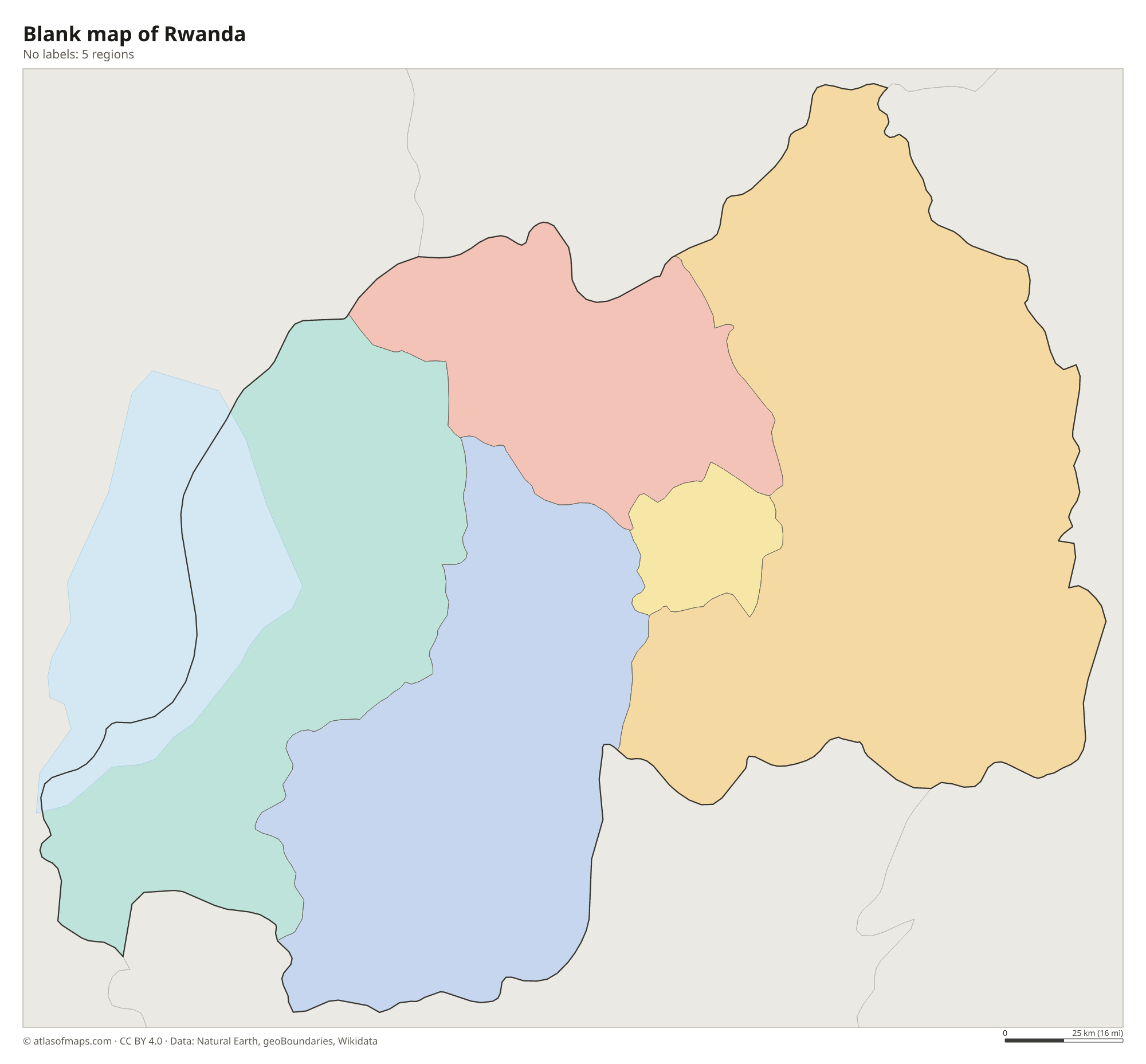
Blank map of Rwanda

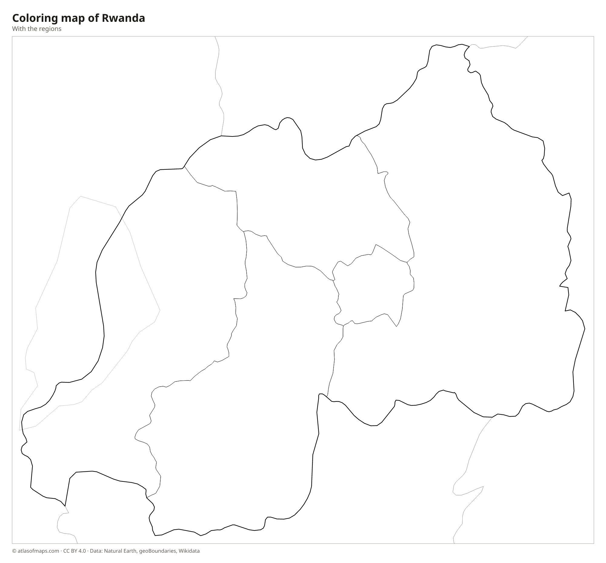
Coloring map of Rwanda

Geography of Rwanda
Rwanda is often called the land of a thousand hills. Almost the entire country is high ground, with steep hills and valleys covered in small farms and terraces. In the northwest, the volcanic Virunga Mountains rise along the borders with Uganda and the Democratic Republic of the Congo; Mount Karisimbi, one of them, is the highest point at 4,507 m (14,787 ft). The west is part of the mountainous rim of the Albertine Rift, while the land slopes down eastward to lower plateaus, savanna, papyrus swamps and lakes around Akagera National Park.
Lake Kivu, one of the African Great Lakes, forms much of the western border, and the Rusizi River drains it south toward Lake Tanganyika. The Akagera River, part of the Nile's headwaters, runs along the eastern border with Tanzania, and the Nyabarongo, which feeds it, is often named as one of the most distant sources of the Nile. Nyungwe Forest in the southwest is a large mountain rainforest. Because of the altitude, the climate is mild for a tropical country, with two rainy seasons and two drier seasons each year.
Fun facts
- Mountain gorillas live in Volcanoes National Park, in the Virunga Mountains of northwestern Rwanda.
- With about 14.6 million people (2025), Rwanda is one of the most densely populated countries in Africa.
- Rwanda lies only a short distance south of the equator, yet its altitude keeps Kigali's temperatures mild.
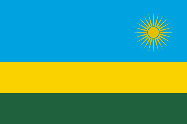
Flag of Rwanda
The flag of Rwanda has three horizontal stripes: a wide light blue stripe filling the top half, then a narrower yellow stripe and a green stripe of the same width. In the upper fly corner, on the blue, is a golden sun with 24 rays.
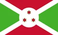
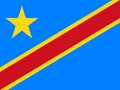
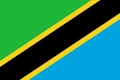
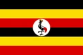
Countries bordering Rwanda
Frequently asked questions
What countries border Rwanda?
Rwanda borders four countries: Uganda to the north, Tanzania to the east, Burundi to the south and the Democratic Republic of the Congo to the west, partly across Lake Kivu.
How many provinces does Rwanda have?
Rwanda has four provinces, Northern, Southern, Eastern and Western, plus the City of Kigali, which has the same status. Together they form the 5 regions on the map.
What is the capital of Rwanda?
The capital and largest city is Kigali, in the center of the country. It is spread over a series of hills and valleys.
What language is spoken in Rwanda?
The official languages are Kinyarwanda, English, French, and Swahili.
Can I print the map of Rwanda?
Yes. Every map on this page can be downloaded for free as PNG or PDF (US Letter) and printed, including the blank map and the coloring map. Please credit the source (Atlas of Maps, CC BY 4.0).
Use this map
You can download, print and share this map for free, in class, in school projects, in presentations and on websites, as long as you credit the source: Map of Rwanda · Atlas of Maps (atlasofmaps.com), license CC BY 4.0.
See also: Map of Africa · World map