Map of Costa Rica with provinces and capitals
Costa Rica is a country in Central America, between Nicaragua to the north and Panama to the southeast. It has a coastline on the Caribbean Sea to the east and on the Pacific Ocean to the west. The political map shows its 7 provinces, the capital, San José, and major cities.

- Capital
- San José
- Population
- 5.3 million (2024)
- Area
- 51,180 km² (19,761 sq mi)
- Population density
- 103 per km² (266 per sq mi)
- Official language
- Spanish
- Currency
- Costa Rican colón
- Demonym
- Costa Rican
- Provinces
- 7
- Highest point
- Cerro Chirripó (3,820 m (12,533 ft))
- Calling code
- +506
- Internet domain
- .cr
- Official name
- Republic of Costa Rica
Where is Costa Rica?
Costa Rica is a country in Central America, between Nicaragua to the north and Panama to the southeast. It has a coastline on the Caribbean Sea to the east and on the Pacific Ocean to the west.

Provinces of Costa Rica and their capitals
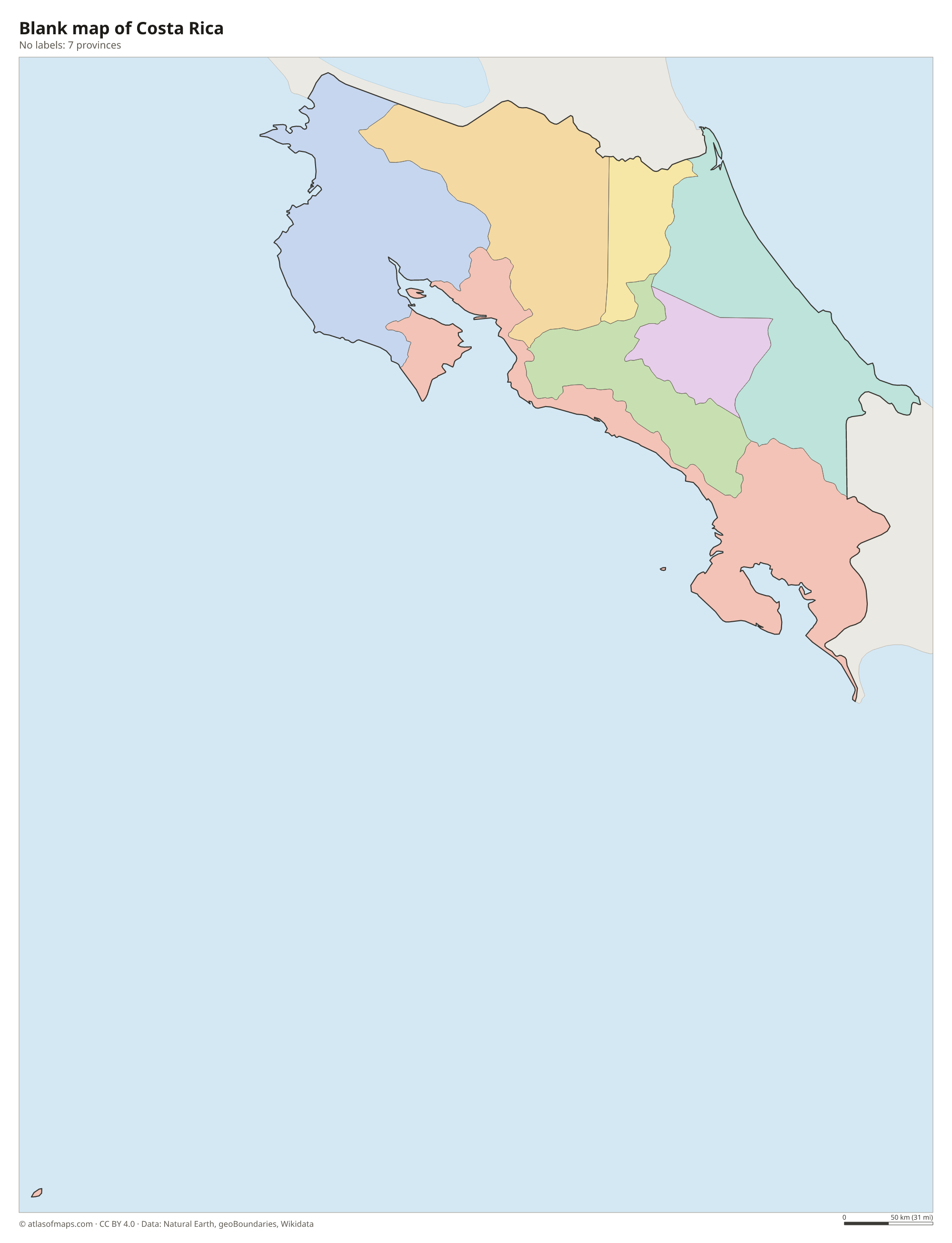
Costa Rica is divided into 7 provinces: San José, Alajuela, Cartago, Heredia, Guanacaste, Puntarenas and Limón. Puntarenas stretches along most of the Pacific coast and includes Cocos Island, while Limón covers the Caribbean side.
| Province | Capital | Population | Area |
|---|---|---|---|
| Alajuela | Alajuela | 1,035,464 | 9,772 km² (3,773 sq mi) |
| Cartago | Cartago | 545,092 | 3,093 km² (1,194 sq mi) |
| Guanacaste | Liberia | 412,808 | 10,196 km² (3,937 sq mi) |
| Heredia | Heredia | 479,117 | 2,663 km² (1,028 sq mi) |
| Limón | Limón | 470,383 | 9,177 km² (3,543 sq mi) |
| Puntarenas | Puntarenas | 500,166 | 11,299 km² (4,363 sq mi) |
| San José | San José | 1,601,167 | 4,970 km² (1,919 sq mi) |
Population from Wikidata (latest figure available for each province).
Blank and coloring maps of Costa Rica
Blank map of Costa Rica

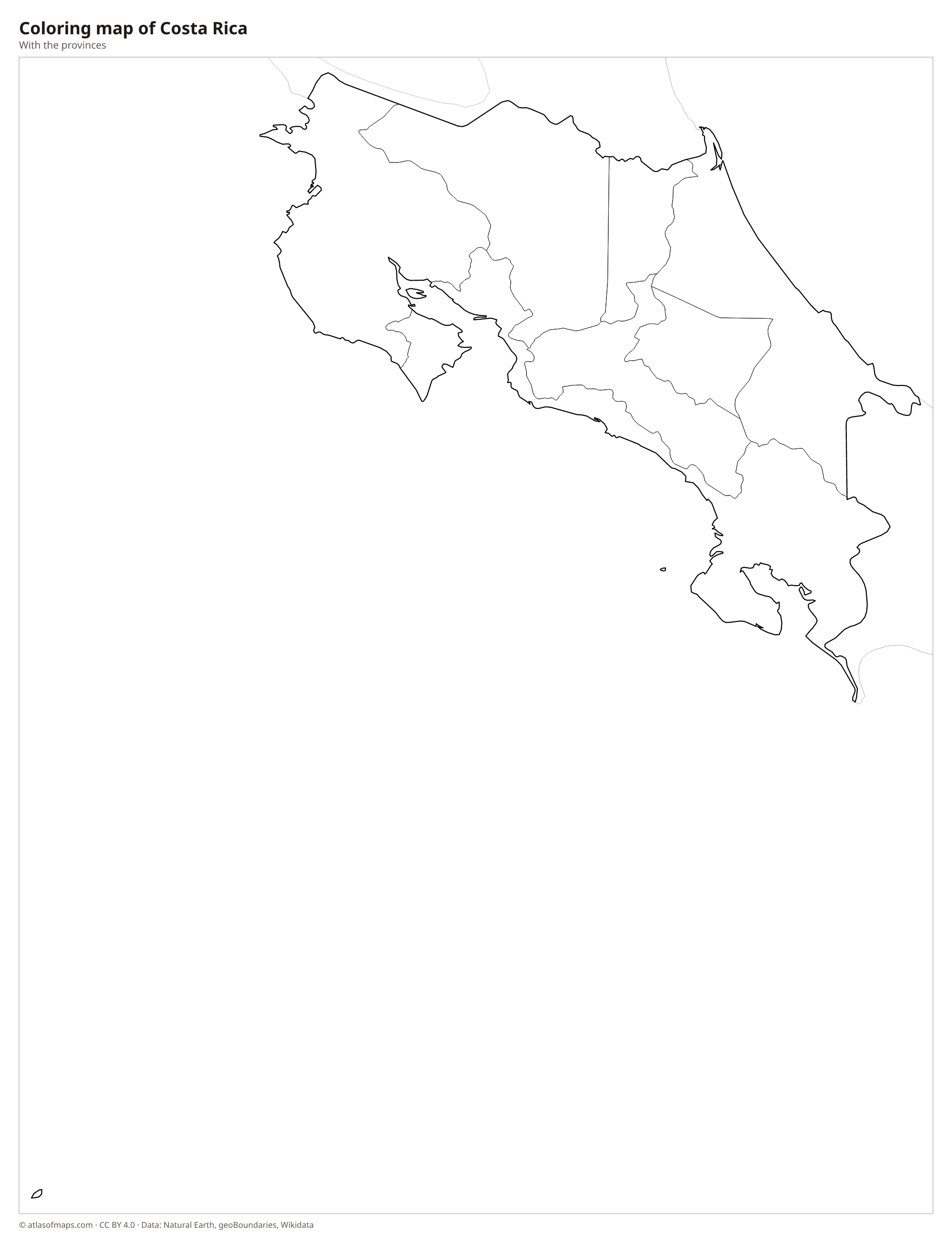
Coloring map of Costa Rica

Geography of Costa Rica
A chain of volcanic and mountain ranges runs through Costa Rica from northwest to southeast. The Guanacaste and Tilarán ranges in the north include Arenal volcano, and the Central Volcanic Range holds Poás and Irazú. In the south, the Cordillera de Talamanca rises highest, with Cerro Chirripó at 3,820 m (12,533 ft). Between the ranges lies the Central Valley, a high basin with fertile volcanic soils, where San José and most of the population are found. Broad lowland plains spread toward the Caribbean in the northeast.
Costa Rica covers 51,180 km² (19,761 sq mi), yet it holds a wide range of habitats, from dry forest in Guanacaste to cloud forest at Monteverde and lowland rainforest on the Osa Peninsula. The Pacific coast is long and indented, with the Nicoya Peninsula and the Gulf of Nicoya, while the Caribbean coast is straighter and lined with canals and wetlands at Tortuguero. The climate is tropical, with a dry season from about December to April on the Pacific side. Cocos Island, far out in the Pacific, also belongs to Costa Rica.
Fun facts
- Cocos Island, far off the Pacific coast, is a national park and UNESCO World Heritage Site known for its hammerhead sharks.
- About a quarter of Costa Rica's land is protected in national parks and reserves.
- On a clear day, both the Pacific Ocean and the Caribbean Sea can be seen from the summit of Cerro Chirripó.
Flag of Costa Rica
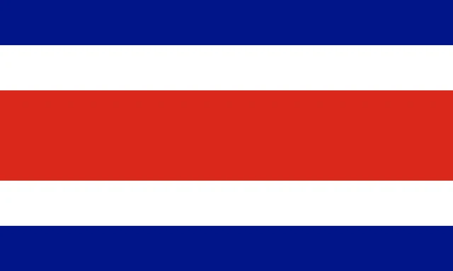
The flag of Costa Rica has five horizontal stripes: blue, white, red, white and blue. The red stripe in the middle is twice as tall as each of the others. The state flag adds the national coat of arms on a white oval placed on the red stripe toward the hoist, while the civil flag has no emblem.
Countries bordering Costa Rica
Frequently asked questions
What countries border Costa Rica?
Costa Rica borders two countries: Nicaragua to the north and Panama to the southeast. The Caribbean Sea lies to the east and the Pacific Ocean to the west.
How many provinces does Costa Rica have?
Costa Rica has 7 provinces: San José, Alajuela, Cartago, Heredia, Guanacaste, Puntarenas and Limón. Each province is divided into cantons, which are subdivided into districts.
Is Costa Rica in North or South America?
Costa Rica is in Central America, which is usually counted as part of North America. It lies on the narrow land bridge between Nicaragua and Panama.
What is the capital of Costa Rica?
The capital of Costa Rica is San José.
What language is spoken in Costa Rica?
The official language is Spanish.
Can I print the map of Costa Rica?
Yes. Every map on this page can be downloaded for free as PNG or PDF (US Letter) and printed, including the blank map and the coloring map. Please credit the source (Atlas of Maps, CC BY 4.0).
Use this map
You can download, print and share this map for free, in class, in school projects, in presentations and on websites, as long as you credit the source: Map of Costa Rica · Atlas of Maps (atlasofmaps.com), license CC BY 4.0.
See also: Map of North America · Map of Central America · Map of Latin America · World map