Map of Panama with provinces and capitals
Panama is the southernmost country of Central America, on the narrow isthmus that links North and South America. It borders Costa Rica to the west and Colombia to the east, with the Caribbean Sea to the north and the Pacific Ocean to the south. The political map shows its 12 provinces, the capital, Panama City, and major cities.

- Capital
- Panama City
- Population
- 4.6 million (2025)
- Area
- 74,177 km² (28,640 sq mi)
- Population density
- 62 per km² (160 per sq mi)
- Official language
- Spanish
- Currency
- Panamanian balboa and United States dollar
- Demonym
- Panamanian
- Provinces
- 12
- Highest point
- Volcan Baru (3,475 m (11,401 ft))
- Calling code
- +507
- Internet domain
- .pa
Where is Panama?
Panama is the southernmost country of Central America, on the narrow isthmus that links North and South America. It borders Costa Rica to the west and Colombia to the east, with the Caribbean Sea to the north and the Pacific Ocean to the south.
Neighboring countries: Colombia, Costa Rica.

Provinces of Panama and their capitals
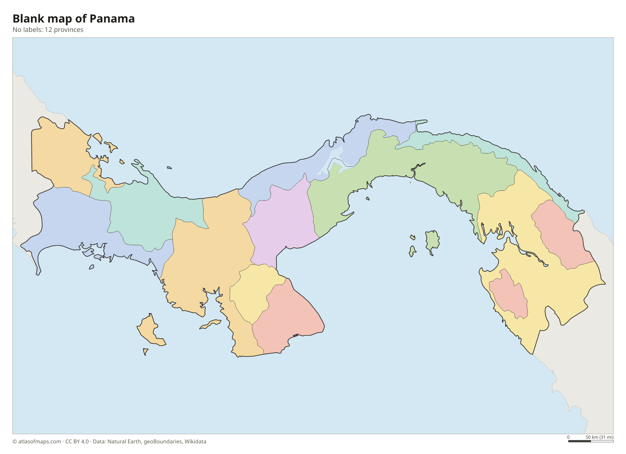
The map divides Panama into 12 units: provinces such as Panamá, Colón, Chiriquí and Veraguas, plus comarcas, indigenous territories with their own administration, such as Guna Yala, Emberá-Wounaan and Ngäbe-Buglé. Panama City lies in Panamá province.
| Province | Capital | Population | Area |
|---|---|---|---|
| Bocas del Toro | Bocas del Toro | 159,228 | 4,657 km² (1,798 sq mi) |
| Chiriquí | David | 471,071 | 6,491 km² (2,506 sq mi) |
| Coclé | Penonomé | 268,264 | 4,927 km² (1,902 sq mi) |
| Colón | Colón City | 281,956 | 4,891 km² (1,888 sq mi) |
| Darién | La Palma | 54,235 | 11,893 km² (4,592 sq mi) |
| Emberá-Wounaan Comarca | Unión Chocó | 12,358 | 4,366 km² (1,686 sq mi) |
| Guna Yala | El Porvenir | 33,109 | 2,358 km² (910 sq mi) |
| Herrera | Chitré | 122,071 | 2,362 km² (912 sq mi) |
| Los Santos | Las Tablas | 98,466 | 3,809 km² (1,471 sq mi) |
| Ngöbe-Buglé Comarca | — | 156,747 | 6,814 km² (2,631 sq mi) |
| Panamá | Panama City | 1,439,575 | 75,517 km² (29,157 sq mi) |
| Veraguas | Santiago de Veraguas | 259,791 | 10,588 km² (4,088 sq mi) |
Population from Wikidata (latest figure available for each province).
Blank and coloring maps of Panama
Blank map of Panama

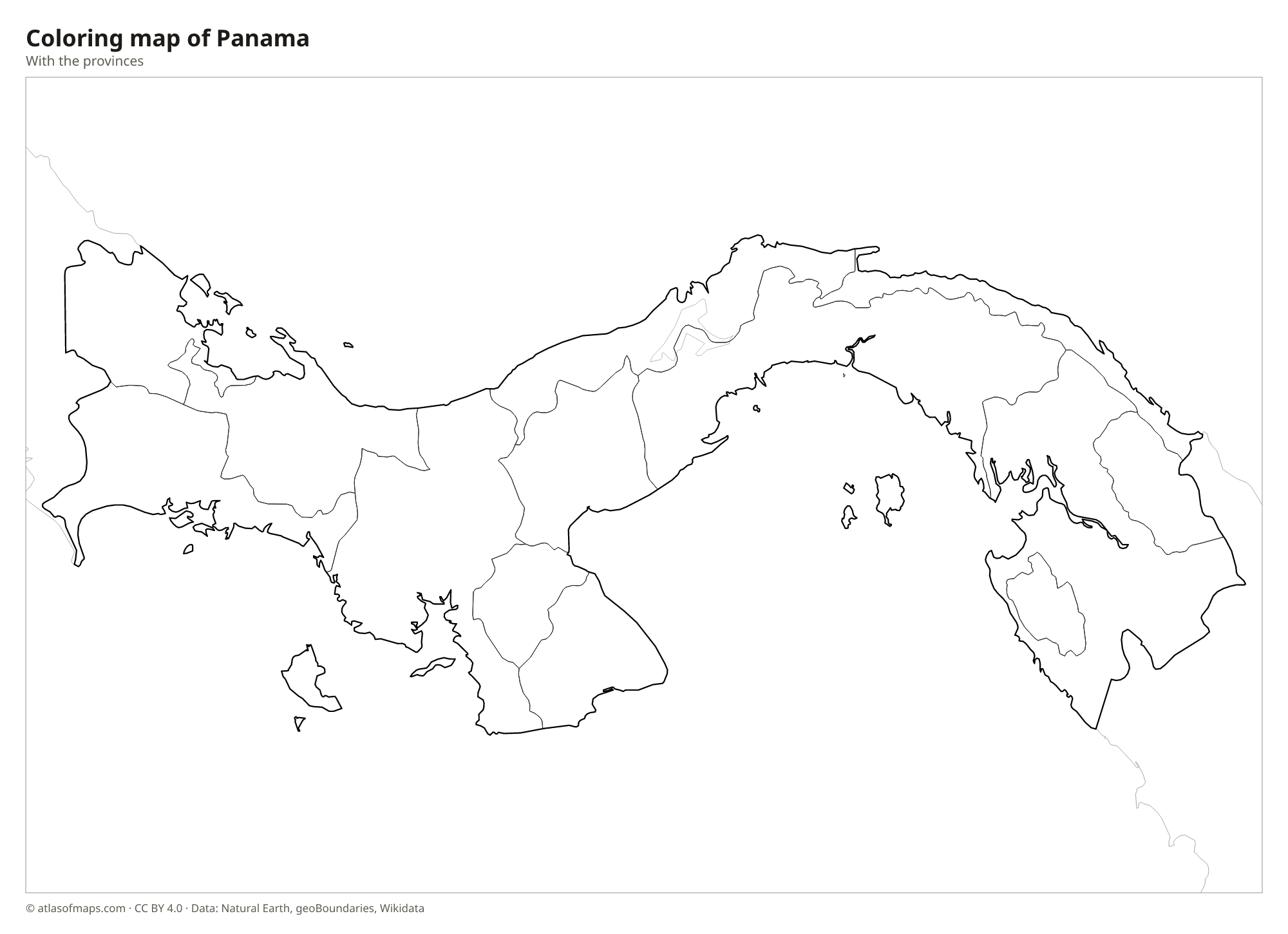
Coloring map of Panama

Geography of Panama
Panama forms an S-shaped land bridge between two continents. A chain of mountains runs along most of its length. In the west, the Cordillera de Talamanca, shared with Costa Rica, rises to the country's highest point, Volcán Barú, at 3,475 m (11,401 ft), and continues east as the lower Cordillera Central. In the far east, the forested hills, rivers and swamps of the Darién separate Panama from Colombia and form the Darién Gap, the only break in the Pan-American Highway. The Azuero Peninsula juts south into the Pacific.
The Panama Canal cuts across the isthmus near its narrowest part, linking the Caribbean Sea and the Atlantic with the Pacific. Much of its water comes from Gatun Lake, an artificial lake created by damming the Chagres River. Panama also has hundreds of islands, including the San Blas Islands of Guna Yala and the Bocas del Toro archipelago on the Caribbean side, and the Pearl Islands and Coiba in the Pacific. The climate is tropical, with a dry season from about December to April and a long rainy season, and rainforest covers much of the Caribbean slope and the Darién.
Fun facts
- Because the isthmus bends, the Pacific entrance of the Panama Canal lies farther east than its Caribbean entrance.
- The Panama Canal opened in 1914 and is about 80 km (50 mi) long.
- Panama uses both the balboa and the United States dollar as currency.
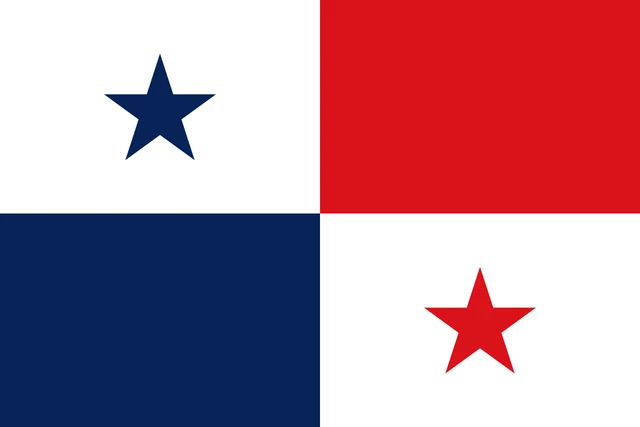
Flag of Panama
The flag of Panama is divided into four equal rectangles. The upper hoist quarter is white with a blue five-pointed star, the upper fly quarter is solid red, the lower hoist quarter is solid blue, and the lower fly quarter is white with a red five-pointed star.
Countries bordering Panama
Frequently asked questions
What countries border Panama?
Panama borders two countries: Costa Rica to the west and Colombia to the southeast. The Caribbean Sea lies to the north and the Pacific Ocean to the south.
Is Panama in North or South America?
Panama is part of Central America and is therefore counted as part of North America. Its border with Colombia in the Darién is generally treated as the boundary between North and South America.
Where is the Panama Canal?
The Panama Canal crosses the isthmus in the center of the country, between Colón on the Caribbean coast and Panama City on the Pacific coast. Ships use locks to rise to Gatun Lake and back down.
What is the capital of Panama?
The capital of Panama is Panama City.
How many provinces does Panama have?
Panama is divided into 12 provinces: Bocas del Toro, Chiriquí, Coclé, Colón, Darién, Emberá-Wounaan Comarca, Guna Yala, Herrera, Los Santos, Ngöbe-Buglé Comarca, Panamá, and Veraguas.
What language is spoken in Panama?
The official language is Spanish.
Can I print the map of Panama?
Yes. Every map on this page can be downloaded for free as PNG or PDF (US Letter) and printed, including the blank map and the coloring map. Please credit the source (Atlas of Maps, CC BY 4.0).
Use this map
You can download, print and share this map for free, in class, in school projects, in presentations and on websites, as long as you credit the source: Map of Panama · Atlas of Maps (atlasofmaps.com), license CC BY 4.0.
See also: Map of North America · Map of Central America · Map of Latin America · World map