Map of Nicaragua with departments and capitals
Nicaragua is a country in Central America, between the Pacific Ocean and the Caribbean Sea. It borders Honduras to the north and Costa Rica to the south, and it is the largest country in Central America by area. The political map shows its 17 departments, the capital, Managua, and major cities.

- Capital
- Managua
- Population
- 5.1 million (2005)
- Area
- 120,340 km² (46,464 sq mi)
- Population density
- 43 per km² (111 per sq mi)
- Official language
- Spanish
- Currency
- Nicaraguan córdoba
- Demonym
- Nicaraguan
- Departments
- 17
- Highest point
- Cerro Mogotón (2,107 m (6,913 ft))
- Calling code
- +505
- Internet domain
- .ni
Where is Nicaragua?
Nicaragua is a country in Central America, between the Pacific Ocean and the Caribbean Sea. It borders Honduras to the north and Costa Rica to the south, and it is the largest country in Central America by area.
Neighboring countries: Costa Rica, Honduras.

Departments of Nicaragua and their capitals
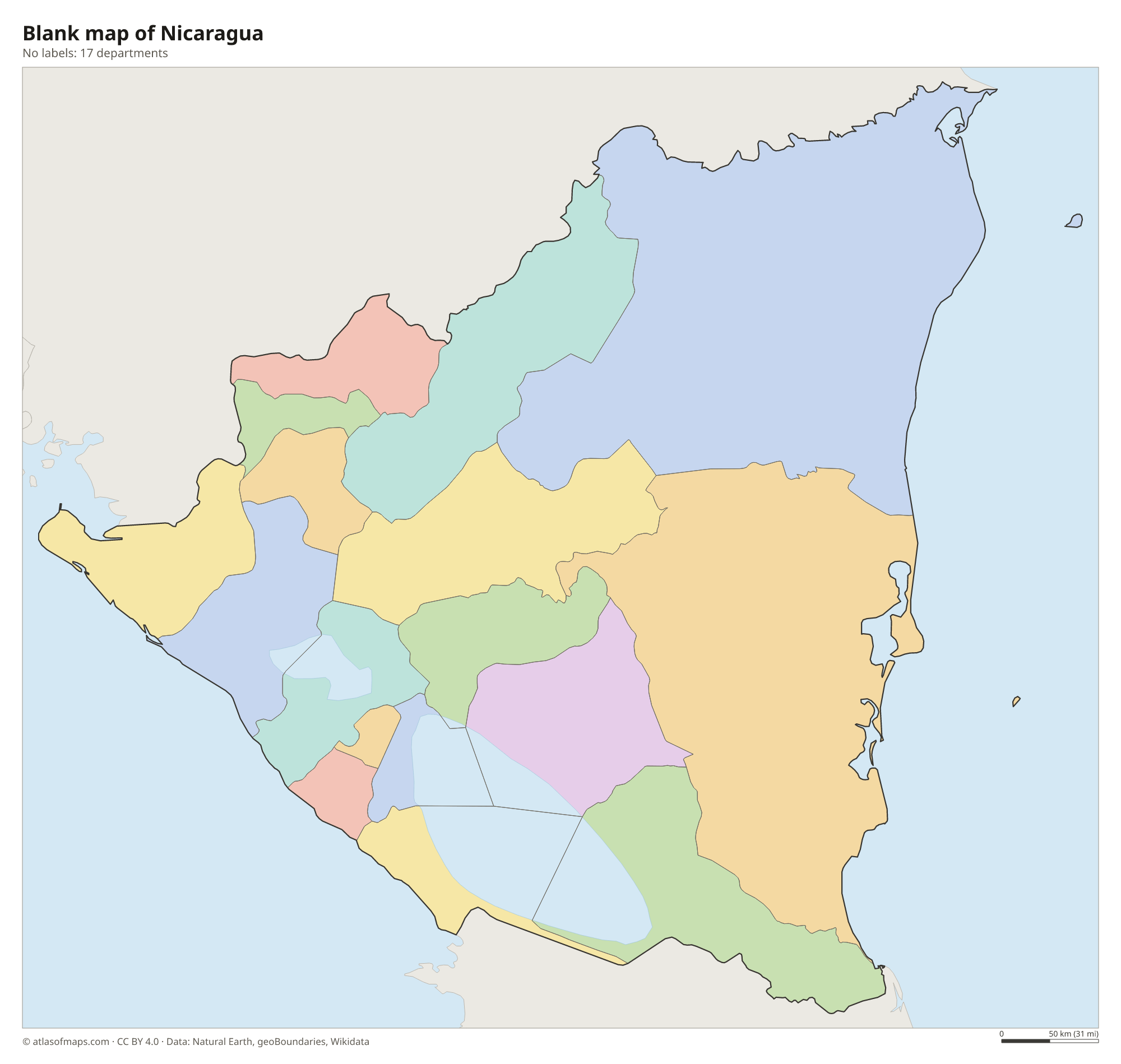
Nicaragua is divided into 15 departments and 2 autonomous regions on the Caribbean coast, the North Caribbean Coast and the South Caribbean Coast, making 17 units on the map. The two autonomous regions together cover nearly half of the country.
| Department | Capital | Population | Area |
|---|---|---|---|
| Boaco | Boaco | 150,636 | 4,177 km² (1,613 sq mi) |
| Carazo | Jinotepe | 166,073 | 1,081 km² (417 sq mi) |
| Chinandega | Chinandega | 378,970 | 4,822 km² (1,862 sq mi) |
| Chontales | Juigalpa | 153,932 | 6,481 km² (2,502 sq mi) |
| Estelí | Estelí | 201,548 | 2,230 km² (861 sq mi) |
| Granada | Granada | 168,186 | 1,040 km² (402 sq mi) |
| Jinotega | Jinotega | 331,335 | 9,222 km² (3,561 sq mi) |
| León | León | 355,779 | 5,138 km² (1,984 sq mi) |
| Madriz | Somoto | 132,459 | 1,708 km² (659 sq mi) |
| Managua | Managua | 1,262,978 | 3,465 km² (1,338 sq mi) |
| Masaya | Masaya | 289,988 | 611 km² (236 sq mi) |
| Matagalpa | Matagalpa | 469,172 | 6,804 km² (2,627 sq mi) |
| North Caribbean Coast | Puerto Cabezas | 314,130 | 33,106 km² (12,782 sq mi) |
| Nueva Segovia | Ocotal | 208,523 | 3,491 km² (1,348 sq mi) |
| Río San Juan | San Carlos | 95,596 | 7,541 km² (2,912 sq mi) |
| Rivas | Rivas | 156,283 | 2,162 km² (835 sq mi) |
| South Caribbean Coast | Bluefields | 306,510 | 27,260 km² (10,525 sq mi) |
Population from Wikidata (latest figure available for each department).
Blank and coloring maps of Nicaragua
Blank map of Nicaragua

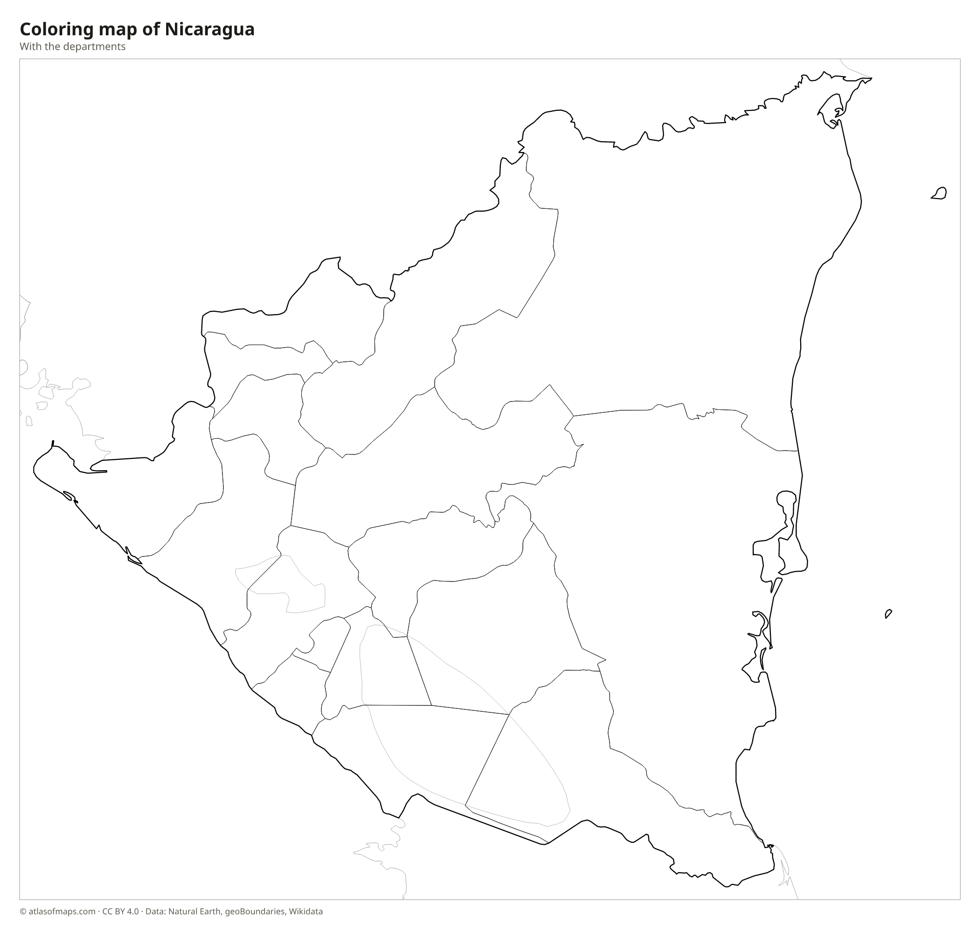
Coloring map of Nicaragua

Geography of Nicaragua
Nicaragua covers 120,340 km² (46,464 sq mi) and has three main regions. Along the Pacific lies a lowland crossed by a chain of volcanoes, including Momotombo, Masaya and San Cristóbal, where most Nicaraguans live. The central highlands rise in the north and center, with coffee farms and cloud forests; the highest point, Cerro Mogotón, reaches 2,107 m (6,913 ft) on the border with Honduras. In the east, the wide Caribbean lowlands, part of the Mosquito Coast, are covered by rainforest, pine savanna and lagoons.
Two large lakes fill a depression in the Pacific lowlands. Lake Nicaragua is the largest lake in Central America and holds hundreds of islands, including Ometepe, formed by two volcanoes. Lake Managua lies just to the northwest, beside the capital. The San Juan River drains Lake Nicaragua east to the Caribbean and forms much of the border with Costa Rica, while the Coco River marks much of the northern border with Honduras. The climate is tropical, with a rainy season from about May to October.
Fun facts
- Lake Nicaragua is home to bull sharks that swim up the San Juan River from the Caribbean Sea.
- Cerro Negro, near León, is a young volcano where visitors slide down the black ash slopes on boards.
- The country takes its name from Nicarao, the chief of a people living near Lake Nicaragua when the Spanish arrived.
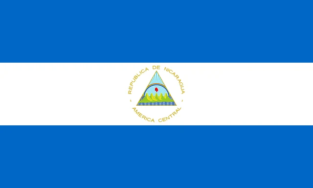
Flag of Nicaragua
The flag of Nicaragua has three equal horizontal bands of blue, white and blue, with the national coat of arms in the center. The arms show a triangle containing five volcanoes between two seas, a red Phrygian cap with rays of light and a rainbow, all inside a ring of words reading "REPÚBLICA DE NICARAGUA" and "AMÉRICA CENTRAL".
Countries bordering Nicaragua
Frequently asked questions
What countries border Nicaragua?
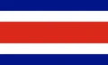
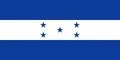
Nicaragua borders two countries: Honduras to the north and Costa Rica to the south. To the west is the Pacific Ocean and to the east the Caribbean Sea.
How many departments does Nicaragua have?
Nicaragua has 15 departments and 2 autonomous regions on the Caribbean coast, 17 units in total. The capital and largest city, Managua, is in the department of the same name.
What is the largest lake in Nicaragua?
Lake Nicaragua, also called Cocibolca, is the largest lake in Nicaragua and in all of Central America. It contains Ometepe Island and the small islands of Las Isletas near Granada.
What is the capital of Nicaragua?
The capital of Nicaragua is Managua.
What language is spoken in Nicaragua?
The official language is Spanish.
Can I print the map of Nicaragua?
Yes. Every map on this page can be downloaded for free as PNG or PDF (US Letter) and printed, including the blank map and the coloring map. Please credit the source (Atlas of Maps, CC BY 4.0).
Use this map
You can download, print and share this map for free, in class, in school projects, in presentations and on websites, as long as you credit the source: Map of Nicaragua · Atlas of Maps (atlasofmaps.com), license CC BY 4.0.
See also: Map of North America · Map of Central America · Map of Latin America · World map