Map of Djibouti with regions and capitals
Djibouti is a small country in the Horn of Africa, on the Bab-el-Mandeb strait where the Red Sea meets the Gulf of Aden. It borders Eritrea to the north, Ethiopia to the west and south, and Somalia to the southeast. The political map shows its 6 regions, the capital, Djibouti, and major cities.

- Capital
- Djibouti
- Population
- 1.2 million (2023)
- Area
- 23,200 km² (8,958 sq mi)
- Population density
- 50 per km² (129 per sq mi)
- Official languages
- French and Arabic
- Currency
- Djiboutian franc
- Demonym
- Djiboutian
- Regions
- 6
- Highest point
- Mousa Ali (2,028 m (6,654 ft))
- Calling code
- +253
- Internet domain
- .dj
Where is Djibouti?
Djibouti is a small country in the Horn of Africa, on the Bab-el-Mandeb strait where the Red Sea meets the Gulf of Aden. It borders Eritrea to the north, Ethiopia to the west and south, and Somalia to the southeast.

Regions of Djibouti and their capitals
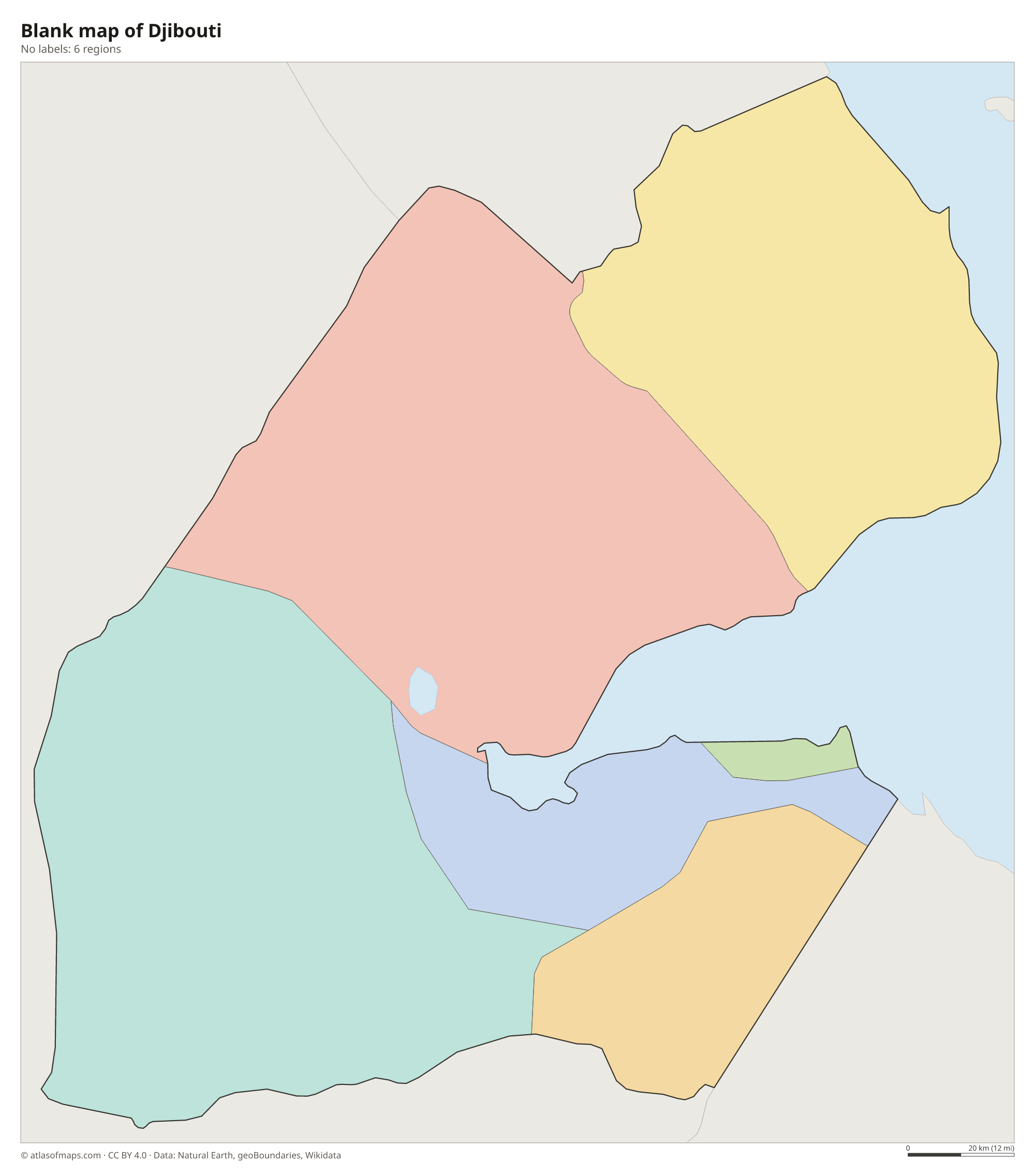
Djibouti is divided into 6 regions: Ali Sabieh, Arta, Dikhil, Obock, Tadjourah and the city of Djibouti, which forms a region of its own. Tadjourah and Obock cover the north of the country around the Gulf of Tadjoura.
| Region | Capital | Population | Area |
|---|---|---|---|
| Ali Sabieh | Ali Sabieh | — | 2,400 km² (927 sq mi) |
| Arta | Arta | — | 1,800 km² (695 sq mi) |
| Dikhil | Dikhil | — | 7,200 km² (2,780 sq mi) |
| Djibouti | Djibouti | 603,900 | 200 km² (77 sq mi) |
| Obock | Obock | 37,856 | 4,700 km² (1,815 sq mi) |
| Tadjourah | Tadjoura | — | 7,100 km² (2,741 sq mi) |
Population from Wikidata (latest figure available for each region).
Blank and coloring maps of Djibouti
Blank map of Djibouti

Coloring map of Djibouti

Geography of Djibouti
Djibouti covers 23,200 km² (8,958 sq mi) of mostly hot, rocky desert. It lies in the Afar Triangle, where three tectonic plates are pulling apart, so the land is crossed by faults, volcanic fields and salt basins. Mountains rise in the north, where Mousa Ali reaches 2,028 m (6,654 ft) at the meeting point of the borders with Ethiopia and Eritrea. In the center lies Lake Assal, a salt lake about 155 m (509 ft) below sea level and the lowest point in Africa.
The Gulf of Tadjoura cuts deep into the country from the east, nearly splitting it in two, and Djibouti City stands on its southern shore. In the southwest, Lake Abbe on the Ethiopian border is known for its tall limestone chimneys that release steam. There are no permanent rivers, and the climate is one of the hottest and driest in the world. The Day Forest in the Goda Mountains, north of the gulf, is one of the few wooded areas in the country.
Fun facts
- Lake Assal, about 155 m (509 ft) below sea level, is the lowest point in Africa and one of the saltiest lakes in the world.
- The Bab-el-Mandeb strait off Djibouti's coast links the Red Sea with the Gulf of Aden and is one of the busiest shipping routes in the world.
- Whale sharks gather in the Gulf of Tadjoura during the winter months.
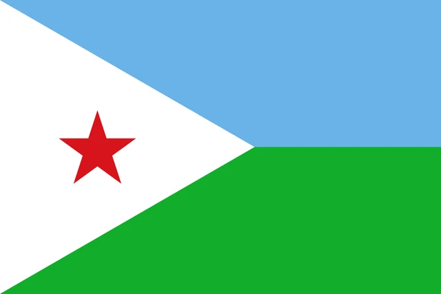
Flag of Djibouti
The flag of Djibouti is divided horizontally into two equal bands, light blue on top and green below. A white isosceles triangle runs from the hoist side, and a red five-pointed star sits in the middle of the triangle. The flag carries no other emblem or text, and its proportions are 2:3.
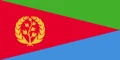
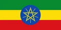
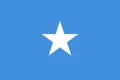
Countries bordering Djibouti
Frequently asked questions
What countries border Djibouti?
Djibouti borders three countries: Eritrea to the north, Ethiopia to the west and south, and Somalia to the southeast. Its eastern side faces the Gulf of Aden and the Bab-el-Mandeb strait.
How many regions does Djibouti have?
Djibouti has 6 regions: Ali Sabieh, Arta, Dikhil, Obock, Tadjourah and the city of Djibouti. The capital region is home to most of the country's people.
What is the capital of Djibouti?
The capital is Djibouti City, a port on the Gulf of Tadjoura that shares its name with the country. It is by far the largest city and a key port for landlocked Ethiopia.
What language is spoken in Djibouti?
The official languages are French and Arabic.
Can I print the map of Djibouti?
Yes. Every map on this page can be downloaded for free as PNG or PDF (US Letter) and printed, including the blank map and the coloring map. Please credit the source (Atlas of Maps, CC BY 4.0).
Use this map
You can download, print and share this map for free, in class, in school projects, in presentations and on websites, as long as you credit the source: Map of Djibouti · Atlas of Maps (atlasofmaps.com), license CC BY 4.0.
See also: Map of Africa · World map