Map of Ethiopia
Ethiopia is a landlocked country in the Horn of Africa. It borders Eritrea to the north, Djibouti to the northeast, Somalia to the east, Kenya to the south, and South Sudan and Sudan to the west. The political map shows its regions, the capital, Addis Ababa, and major cities.

- Capital
- Addis Ababa
- Population
- 128.7 million (2023)
- Area
- 1,104,300 km² (426,373 sq mi)
- Population density
- 117 per km² (302 per sq mi)
- Official language
- Amharic
- Currency
- bir
- Demonym
- Ethiopian
- Highest point
- Ras Dashen (4,533 m (14,872 ft))
- Calling code
- +251
- Internet domain
- .et
Where is Ethiopia?
Ethiopia is a landlocked country in the Horn of Africa. It borders Eritrea to the north, Djibouti to the northeast, Somalia to the east, Kenya to the south, and South Sudan and Sudan to the west.
Neighboring countries: Djibouti, Eritrea, Kenya, Sudan, South Sudan, Somalia.

Regions of Ethiopia and their capitals
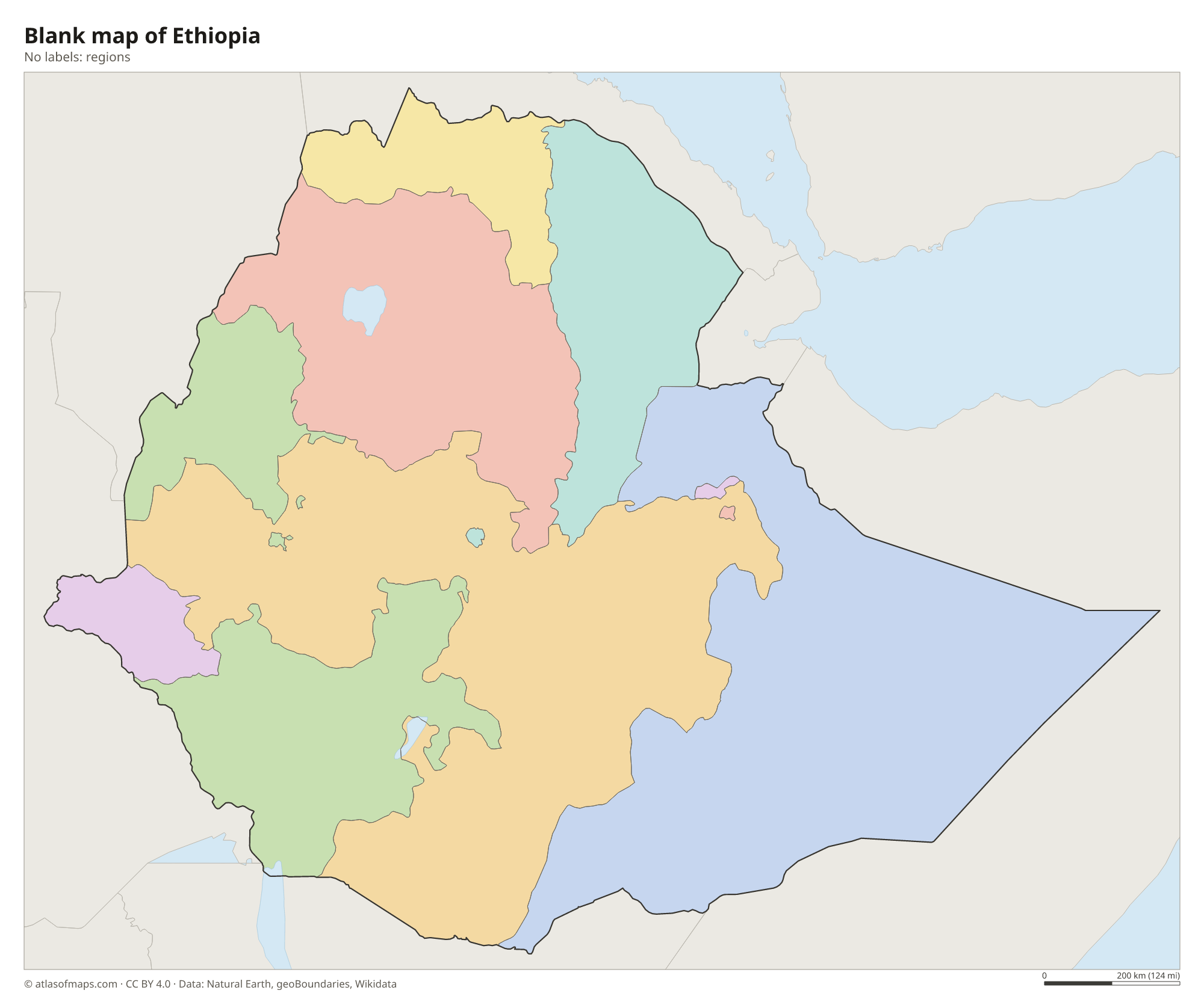
The map shows Ethiopia's regional states as recorded by Natural Earth, which may not include regions created in recent reforms. The country is a federation of regional states, largely drawn along ethnic lines, plus chartered cities: the capital, Addis Ababa, and Dire Dawa.
The divisions on the map come from Natural Earth and may not reflect the latest territorial reform in Ethiopia.
| Region | Capital | Population | Area |
|---|---|---|---|
| Addis Ababa | Addis Ababa | 5,704,000 | 527 km² (203 sq mi) |
| Afar | Semera | 1,411,092 | 72,053 km² (27,820 sq mi) |
| Amhara | Bahir Dar | 19,120,005 | 154,709 km² (59,733 sq mi) |
| Benishangul-Gumuz | Asosa | 784,345 | 50,699 km² (19,575 sq mi) |
| Dire Dawa | — | 277,000 | 1,213 km² (468 sq mi) |
| Gambela | Gambela | 243,900 | 29,783 km² (11,499 sq mi) |
| Harari | Harar | 175,900 | 334 km² (129 sq mi) |
| Oromia | Addis Ababa | 35,467,001 | 284,538 km² (109,861 sq mi) |
| Somali | Jijiga | 4,329,001 | 327,068 km² (126,282 sq mi) |
| Southern Nations | Hawaasa | 14,929,548 | — |
| Tigray | Mekele | 4,960,003 | 41,410 km² (15,988 sq mi) |
Population from Wikidata (latest figure available for each region).
Blank and coloring maps of Ethiopia
Blank map of Ethiopia

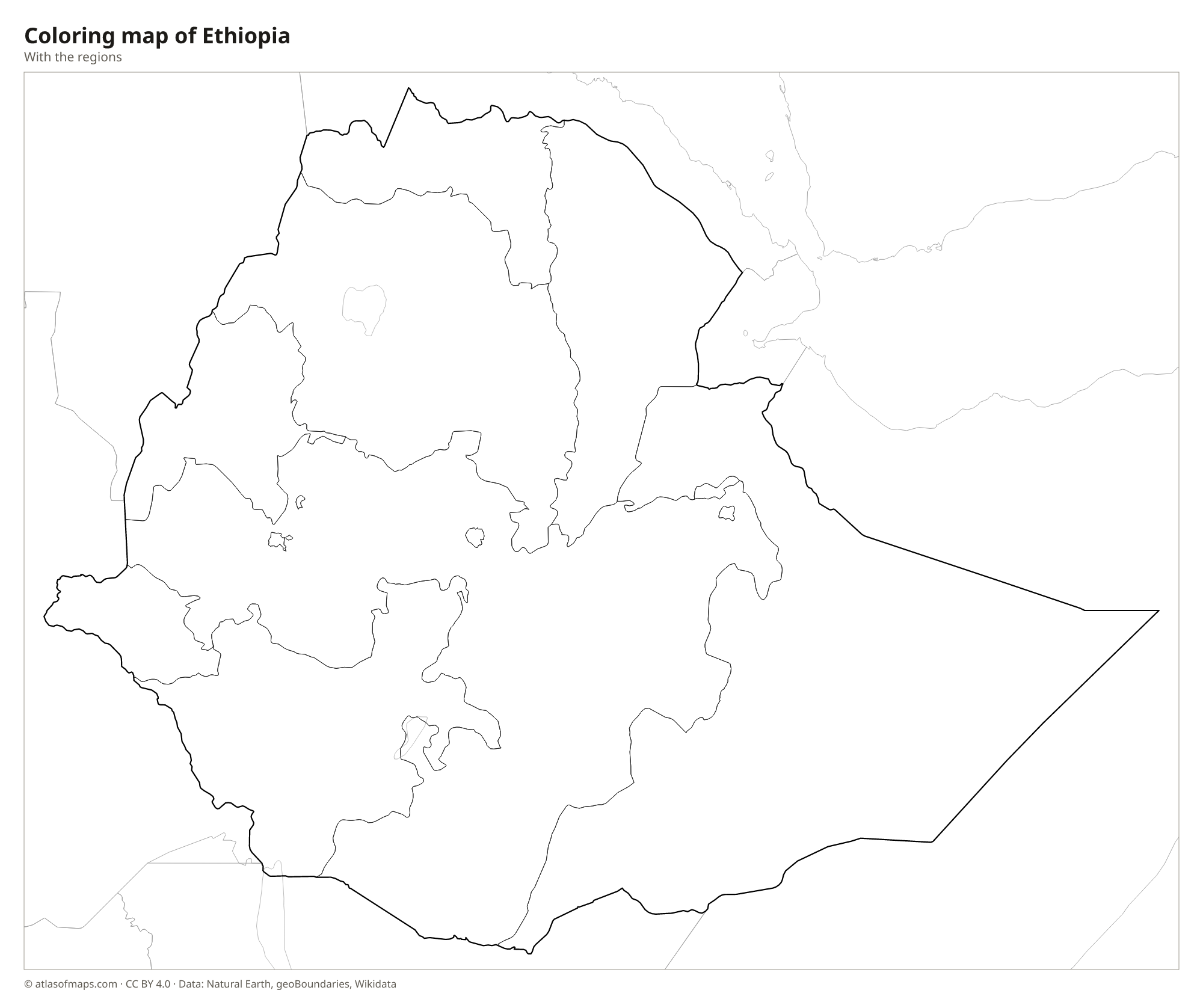
Coloring map of Ethiopia

Geography of Ethiopia
Ethiopia covers 1,104,300 km² (426,373 sq mi), and much of it is a high plateau, the Ethiopian Highlands, split in two by the Great Rift Valley. The northern highlands include the Simien Mountains, where Ras Dashen reaches 4,533 m (14,872 ft), the highest point in the country. Addis Ababa, one of the highest capitals in the world, sits on the plateau at more than 2,300 m (7,500 ft). In the northeast, the land falls into the Danakil Depression, one of the lowest and hottest places on Earth, with salt flats and volcanoes such as Erta Ale.
The highlands are the source of many rivers. The Blue Nile flows out of Lake Tana and carves a deep gorge before heading into Sudan, where it supplies most of the Nile's water. The Awash runs into the Rift Valley and ends in salt lakes, while the Omo flows south to Lake Turkana. The Rift Valley also holds a chain of lakes, including Ziway and Abaya. The climate depends on altitude: the highlands are mild, with a long rainy season in summer, while the lowlands are hot and often dry.
Fun facts
- With about 128.7 million people (2023), Ethiopia is the most populous landlocked country in the world.
- Dallol, in the Danakil Depression, has one of the highest average annual temperatures recorded anywhere on Earth.
- The rock-hewn churches of Lalibela, carved out of solid rock in the northern highlands, are a UNESCO World Heritage Site.
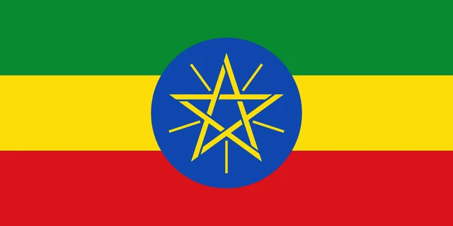
Flag of Ethiopia
The flag of Ethiopia has three horizontal stripes of equal height: green, yellow and red. In the center is a blue disc bearing a yellow five-pointed star drawn in lines, with five yellow rays spreading out between its points. The disc overlaps all three stripes, and the proportions are 1:2.
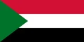
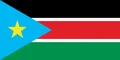
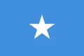
Countries bordering Ethiopia
Frequently asked questions
What countries border Ethiopia?
Ethiopia borders six countries: Eritrea to the north, Djibouti to the northeast, Somalia to the east, Kenya to the south, and South Sudan and Sudan to the west. It has no coastline.
Why is Ethiopia landlocked?
Ethiopia lost its coastline when Eritrea became independent in 1993. Since then it has relied mainly on ports in neighboring countries, especially Djibouti, for its trade by sea.
What is the capital of Ethiopia?
The capital is Addis Ababa, near the center of the country on the Ethiopian plateau. It is the largest city and the seat of the African Union.
What language is spoken in Ethiopia?
The official language is Amharic.
Can I print the map of Ethiopia?
Yes. Every map on this page can be downloaded for free as PNG or PDF (US Letter) and printed, including the blank map and the coloring map. Please credit the source (Atlas of Maps, CC BY 4.0).
Use this map
You can download, print and share this map for free, in class, in school projects, in presentations and on websites, as long as you credit the source: Map of Ethiopia · Atlas of Maps (atlasofmaps.com), license CC BY 4.0.
See also: Map of Africa · World map