Map of Somalia with regions and capitals
Somalia is a country in the Horn of Africa, on the eastern tip of the African mainland. It borders Djibouti to the northwest, Ethiopia to the west and Kenya to the southwest, with the Gulf of Aden to the north and the Indian Ocean to the east. The political map shows its 14 regions, the capital, Mogadishu, and major cities.

- Capital
- Mogadishu
- Population
- 11 million (2017)
- Area
- 637,657 km² (246,201 sq mi)
- Population density
- 17 per km² (45 per sq mi)
- Official languages
- Somali and Arabic
- Currency
- Somali shilling
- Demonym
- Somali
- Regions
- 14
- Highest point
- Shimbiris (2,460 m (8,071 ft))
- Calling code
- +252
- Internet domain
- .so
- Official name
- Federal Republic of Somalia
Where is Somalia?
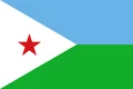
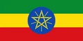
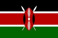
Somalia is a country in the Horn of Africa, on the eastern tip of the African mainland. It borders Djibouti to the northwest, Ethiopia to the west and Kenya to the southwest, with the Gulf of Aden to the north and the Indian Ocean to the east.

Regions of Somalia and their capitals
The map divides Somalia into 14 units: 13 regions, such as Banaadir around Mogadishu, Bari, Bay and Lower Juba, and Somaliland in the north. Somaliland declared independence in 1991 but is not internationally recognized, and the map shows it as a single unit within Somalia.
| Region | Capital | Population | Area |
|---|---|---|---|
| Bakool | Hudur | — | — |
| Banaadir | Mogadishu | 1,650,227 | 370 km² (143 sq mi) |
| Bari | Bosaso | — | 70,088 km² (27,061 sq mi) |
| Bay | Baidoa | — | — |
| Galguduud | Dusmareb | — | — |
| Gedo | Garbahaareey | — | 85,389 km² (32,969 sq mi) |
| Hiran | Beledweyne | — | 90,000 km² (34,749 sq mi) |
| Lower Juba | Kismayo | 643 | 42,876 km² (16,555 sq mi) |
| Lower Shebelle | Merca | — | 25,285 km² (9,763 sq mi) |
| Middle Juba | Bu'ale | — | — |
| Middle Shebelle | Jowhar | 514,900 | 23 km² (8.9 sq mi) |
| Mudug | Galkayo | — | — |
| Nugal | Garowe | — | 26,180 km² (10,108 sq mi) |
| Somaliland | — | — | — |
Population from Wikidata (latest figure available for each region).
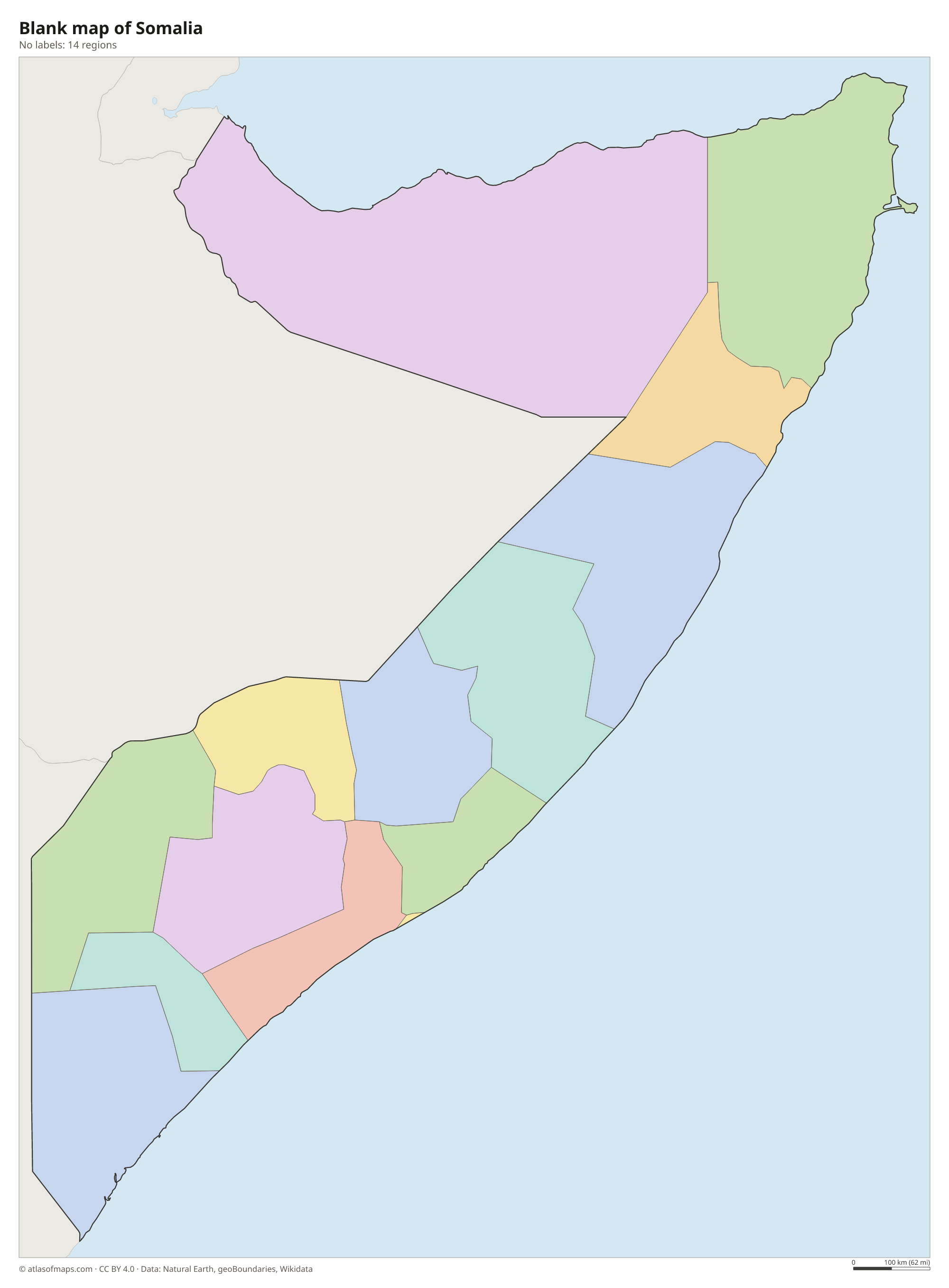
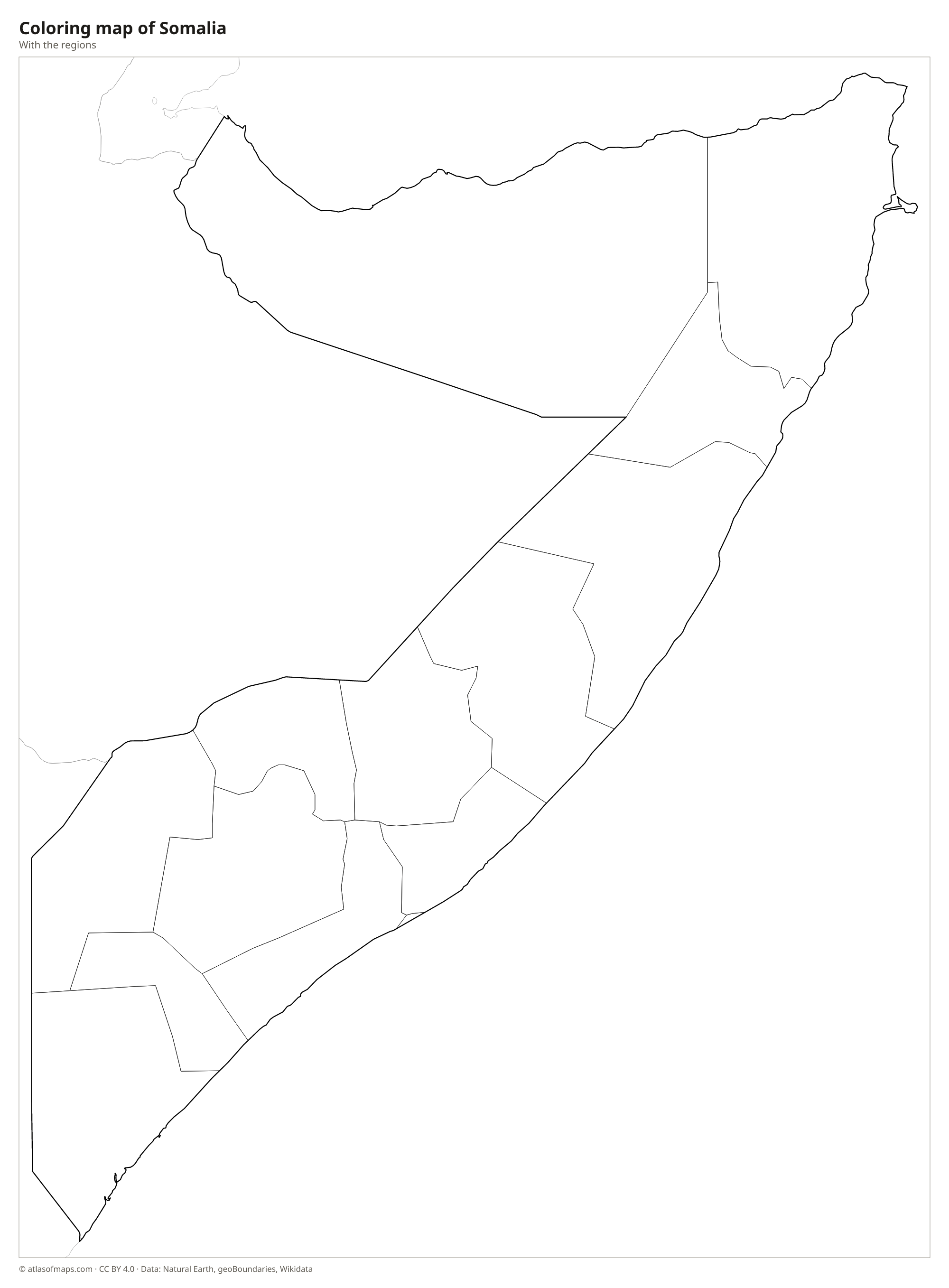
Blank and coloring maps of Somalia
Blank map of Somalia

Coloring map of Somalia

Geography of Somalia
Somalia wraps around the Horn of Africa in a shape often compared to the number 7. In the north, a narrow coastal plain along the Gulf of Aden is backed by steep highlands such as the Cal Madow and Golis ranges; Shimbiris, in the Cal Madow, is the highest point at 2,460 m (8,071 ft). South of the highlands, a broad, dry plateau slopes down toward the Indian Ocean. Most of central and southern Somalia is low, flat semi-desert and savanna, with long belts of sand dunes along the coast.
Somalia has the longest coastline of any country on the African mainland. Its only permanent rivers, the Jubba and the Shabelle, rise in the Ethiopian Highlands and flow through the south, where most of the farmland lies; the Shabelle often dries up before reaching the sea. The climate is hot and mostly dry, with two short rainy seasons a year, and droughts are frequent. Ras Hafun in the northeast is the easternmost point of the African mainland.
Fun facts
- Mogadishu, the capital, is one of the oldest trading cities on the East African coast.
- The Laas Geel caves near Hargeisa hold ancient rock paintings of cattle and people.
- The Gulf of Aden, off Somalia's north coast, links the Red Sea with the Indian Ocean.
Flag of Somalia
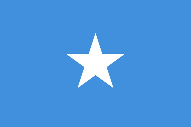
The flag of Somalia is a plain light blue field with a single large white five-pointed star in the center. There are no stripes, text or other symbols, and the shade of blue is close to the blue of the United Nations flag.
Countries bordering Somalia
Frequently asked questions
What countries border Somalia?
Somalia borders three countries: Djibouti to the northwest, Ethiopia to the west and Kenya to the southwest. The Gulf of Aden lies to the north and the Indian Ocean to the east.
How many regions does Somalia have?
The map shows Somalia with 14 units: 13 regions plus Somaliland, which declared independence in 1991 and is not recognized internationally. Somaliland is drawn as one area within Somalia.
What is the capital of Somalia?
The capital and largest city is Mogadishu, on the Indian Ocean coast in the Banaadir region. It is the main port and commercial center of the country.
What language is spoken in Somalia?
The official languages are Somali and Arabic.
Can I print the map of Somalia?
Yes. Every map on this page can be downloaded for free as PNG or PDF (US Letter) and printed, including the blank map and the coloring map. Please credit the source (Atlas of Maps, CC BY 4.0).
Use this map
You can download, print and share this map for free, in class, in school projects, in presentations and on websites, as long as you credit the source: Map of Somalia · Atlas of Maps (atlasofmaps.com), license CC BY 4.0.
See also: Map of Africa · World map