Map of Eritrea
Eritrea is a country in the Horn of Africa on the southwestern coast of the Red Sea. It borders Sudan to the west, Ethiopia to the south and Djibouti to the southeast, and faces Saudi Arabia and Yemen across the sea. The political map shows its regions, the capital, Asmara, and major cities.

- Capital
- Asmara
- Population
- 3.5 million (2019)
- Area
- 117,600 km² (45,406 sq mi)
- Population density
- 30 per km² (77 per sq mi)
- Official languages
- Tigrinya, Arabic, and English
- Currency
- nakfa
- Demonym
- Eritrean
- Highest point
- Emba Soira (3,018 m (9,902 ft))
- Calling code
- +291
- Internet domain
- .er
Where is Eritrea?
Eritrea is a country in the Horn of Africa on the southwestern coast of the Red Sea. It borders Sudan to the west, Ethiopia to the south and Djibouti to the southeast, and faces Saudi Arabia and Yemen across the sea.

Regions of Eritrea and their capitals
The map shows Eritrea's administrative regions as recorded by Natural Earth, which may not match the latest boundaries. The country is organized into regions (zobas), such as Maekel, which contains Asmara, and the coastal Northern Red Sea and Southern Red Sea regions.
The divisions on the map come from Natural Earth and may not reflect the latest territorial reform in Eritrea.
| Region | Capital | Area |
|---|---|---|
| Anseba | Keren | 23,200 km² (8,958 sq mi) |
| Debub | Mendefera | 8,000 km² (3,089 sq mi) |
| Gash-Barka | Barentu | 33,200 km² (12,819 sq mi) |
| Maekel | Asmara | 1,300 km² (502 sq mi) |
| Northern Red Sea | Massawa | 27,800 km² (10,734 sq mi) |
| Southern Red Sea | Assab | 27,600 km² (10,656 sq mi) |
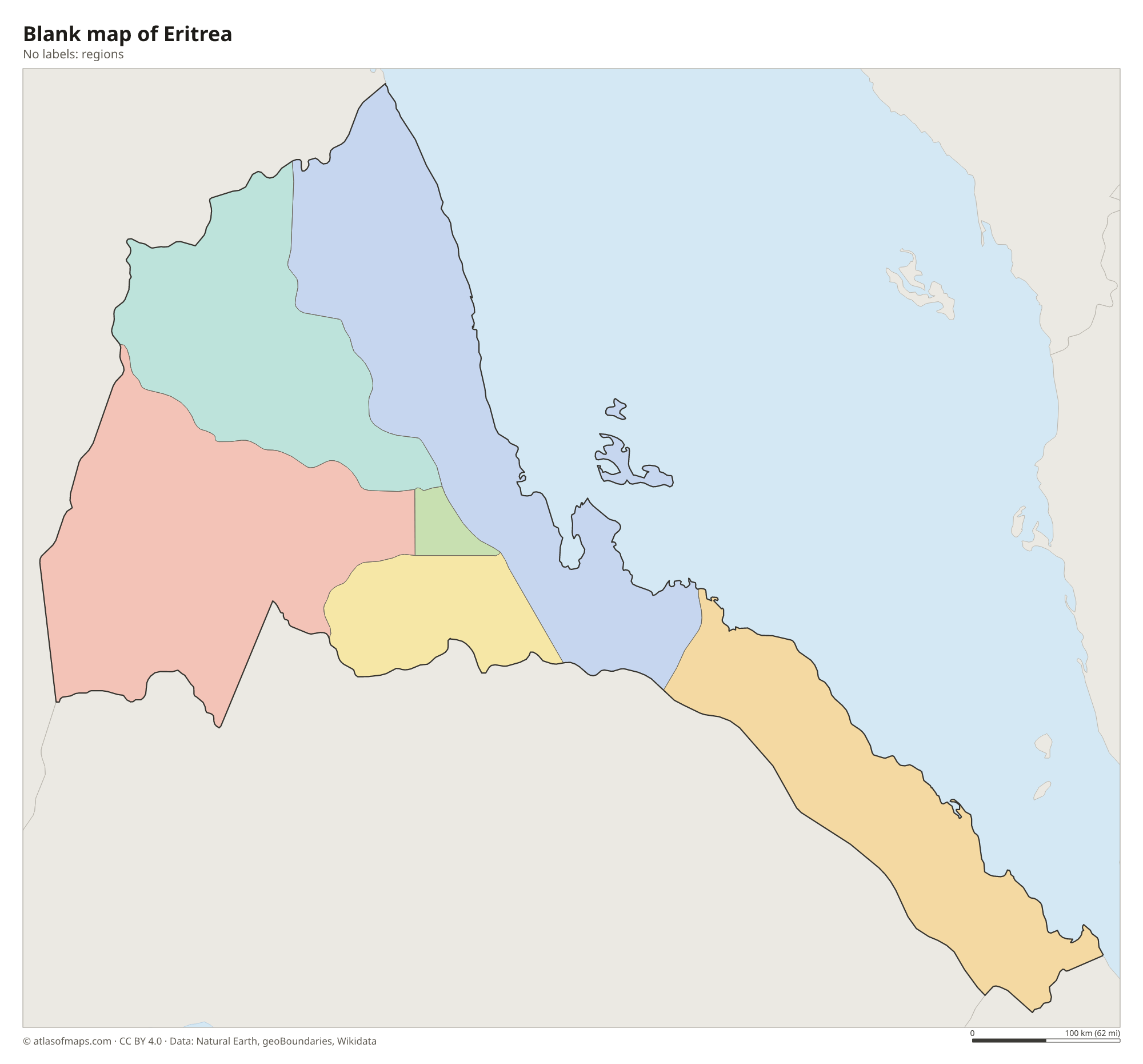
Blank and coloring maps of Eritrea
Blank map of Eritrea

Coloring map of Eritrea

Geography of Eritrea
Eritrea covers 117,600 km² (45,406 sq mi) and has three main landscapes. The central highlands, a northern extension of the Ethiopian Highlands, rise steeply behind the coast and hold the capital, Asmara, at well over 2,000 m (6,560 ft); the highest peak, Emba Soira, reaches 3,018 m (9,902 ft). To the west, the land slopes down to hot lowland plains toward Sudan. In the southeast, the Danakil Depression, part of the Afar Triangle, sinks below sea level and is one of the hottest places on Earth.
Eritrea's coastline runs for more than 1,000 km (620 mi) along the Red Sea, and offshore lies the Dahlak Archipelago, a group of more than 200 low coral islands. The main ports are Massawa and Assab. Most rivers, such as the Barka and the Mereb (Gash), flow only during the rainy season. The climate varies with altitude: the coast is hot and dry, while the highlands are mild, with most rain falling from June to September.
Fun facts
- Asmara's modernist buildings from the Italian colonial period earned the city a place on the UNESCO World Heritage List in 2017.
- The Dahlak Archipelago off Massawa includes more than 200 islands, but only a few are inhabited.
- A historic railway climbs from the port of Massawa up to Asmara in the highlands.
Flag of Eritrea
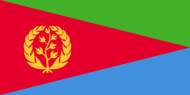
The flag of Eritrea is divided by a red triangle whose base spans the hoist side and whose tip reaches the middle of the fly edge. Above the triangle is a green triangle and below it a light blue one. On the red triangle, near the hoist, is an upright yellow olive branch inside a circular olive wreath.
Countries bordering Eritrea
Frequently asked questions
What countries border Eritrea?
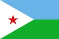
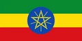
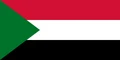
Eritrea borders three countries: Sudan to the west, Ethiopia to the south and Djibouti to the southeast. Its long eastern coast faces the Red Sea, with Yemen and Saudi Arabia on the other side.
What is the capital of Eritrea?
The capital is Asmara, high in the central highlands at well over 2,000 m (6,560 ft) above sea level. It is the largest city and is known for its Italian-era modernist architecture.
Is Eritrea landlocked?
No. Eritrea has a long Red Sea coastline with the ports of Massawa and Assab. Its independence in 1993 left neighboring Ethiopia without direct access to the sea.
What language is spoken in Eritrea?
The official languages are Tigrinya, Arabic, and English.
Can I print the map of Eritrea?
Yes. Every map on this page can be downloaded for free as PNG or PDF (US Letter) and printed, including the blank map and the coloring map. Please credit the source (Atlas of Maps, CC BY 4.0).
Use this map
You can download, print and share this map for free, in class, in school projects, in presentations and on websites, as long as you credit the source: Map of Eritrea · Atlas of Maps (atlasofmaps.com), license CC BY 4.0.
See also: Map of Africa · World map