Map of Ecuador with provinces and capitals
Ecuador is a country on the northwest coast of South America, named after the equator, which crosses it. It borders Colombia to the north and Peru to the east and south, with the Pacific Ocean to the west. The political map shows its 24 provinces, the capital, Quito, and major cities.

- Capital
- Quito
- Population
- 16.9 million (2022)
- Area
- 257,204 km² (99,307 sq mi)
- Population density
- 66 per km² (171 per sq mi)
- Official languages
- Spanish, Northern Quichua, and Shuar
- Currency
- United States dollar
- Demonym
- Ecuadorian
- Provinces
- 24
- Highest point
- Chimborazo (6,263 m (20,548 ft))
- Calling code
- +593
- Internet domain
- .ec
- Official name
- Republic of Ecuador
Where is Ecuador?
Ecuador is a country on the northwest coast of South America, named after the equator, which crosses it. It borders Colombia to the north and Peru to the east and south, with the Pacific Ocean to the west.

Provinces of Ecuador and their capitals
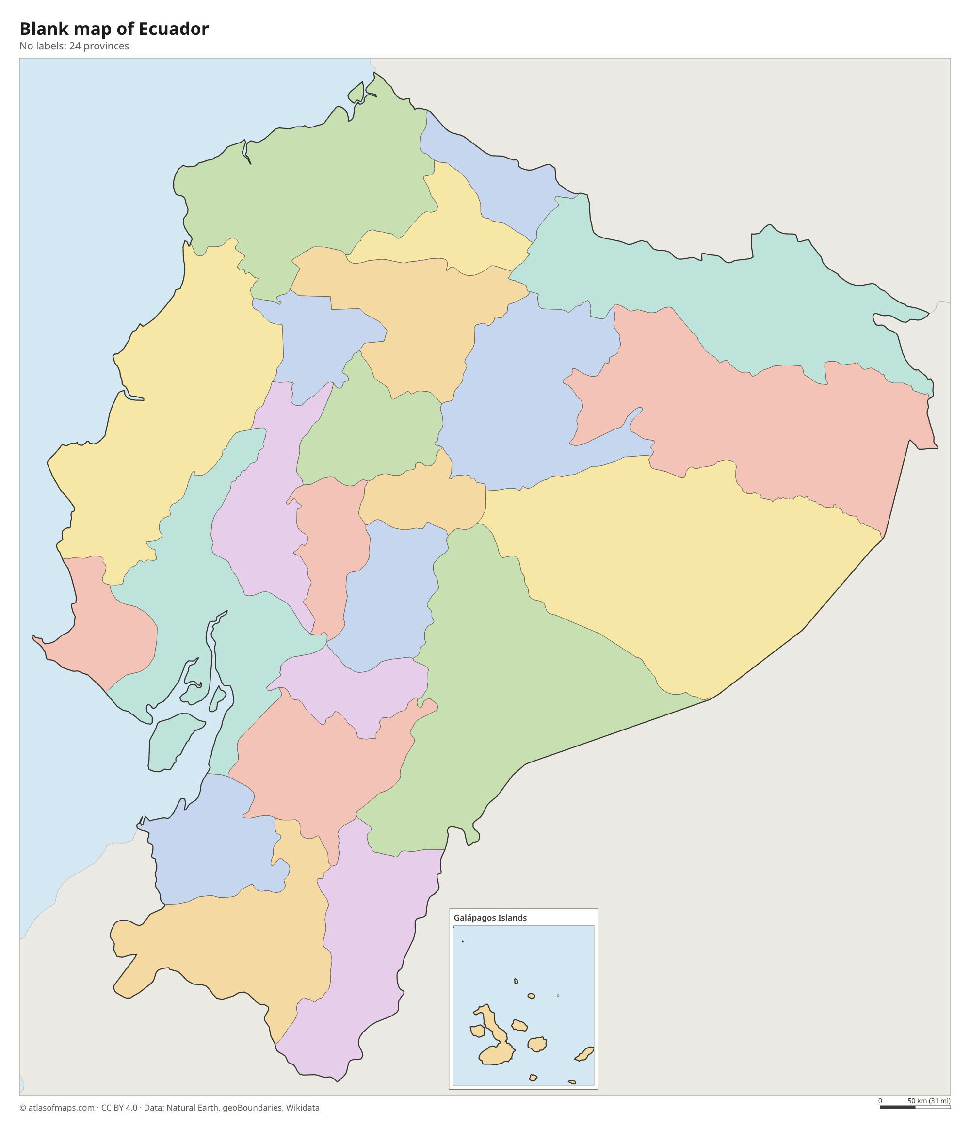
Ecuador is divided into 24 provinces, which you can see on the map spread across the coast, the Andes and the Amazon region. The Galápagos Islands form a province of their own, and Quito is the capital of Pichincha province.
| Province | Capital | Population | Area |
|---|---|---|---|
| Azuay | Cuenca | 801,609 | 8,173 km² (3,156 sq mi) |
| Bolívar | Guaranda | 199,078 | 3,957 km² (1,528 sq mi) |
| Cañar | Azogues | 227,578 | 3,647 km² (1,408 sq mi) |
| Carchi | Tulcán | 172,828 | 3,783 km² (1,461 sq mi) |
| Chimborazo | Riobamba | 471,933 | 6,116 km² (2,361 sq mi) |
| Cotopaxi | Latacunga | 470,210 | 6,188 km² (2,389 sq mi) |
| El Oro | Machala | 714,592 | 5,870 km² (2,266 sq mi) |
| Esmeraldas | Esmeraldas | 553,900 | 15,836 km² (6,114 sq mi) |
| Galápagos | Puerto Baquerizo Moreno | 28,583 | 8,233 km² (3,179 sq mi) |
| Guayas | Guayaquil | 4,391,923 | 15,900 km² (6,139 sq mi) |
| Imbabura | Ibarra | 469,879 | 4,791 km² (1,850 sq mi) |
| Loja | Loja | 485,421 | 11,064 km² (4,272 sq mi) |
| Los Ríos | Babahoyo | 898,652 | 7,238 km² (2,795 sq mi) |
| Manabí | Portoviejo | 1,592,840 | 19,517 km² (7,536 sq mi) |
| Morona-Santiago | Macas | 192,508 | 24,004 km² (9,268 sq mi) |
| Napo | Tena | 131,675 | 12,542 km² (4,842 sq mi) |
| Orellana | Coca | 182,166 | 21,729 km² (8,390 sq mi) |
| Pastaza | Puyo | 111,915 | 29,647 km² (11,447 sq mi) |
| Pichincha | Quito | 3,089,473 | 9,453 km² (3,650 sq mi) |
| Santa Elena | Santa Elena | 385,735 | 3,688 km² (1,424 sq mi) |
| Santo Domingo de los Tsáchilas | Santo Domingo | 492,969 | 3,780 km² (1,459 sq mi) |
| Sucumbíos | Nueva Loja | 199,014 | 18,098 km² (6,988 sq mi) |
| Tungurahua | Ambato | 563,532 | 3,386 km² (1,307 sq mi) |
| Zamora Chinchipe | Zamora | 110,973 | 10,565 km² (4,079 sq mi) |
Population from Wikidata (latest figure available for each province).
Blank and coloring maps of Ecuador
Blank map of Ecuador

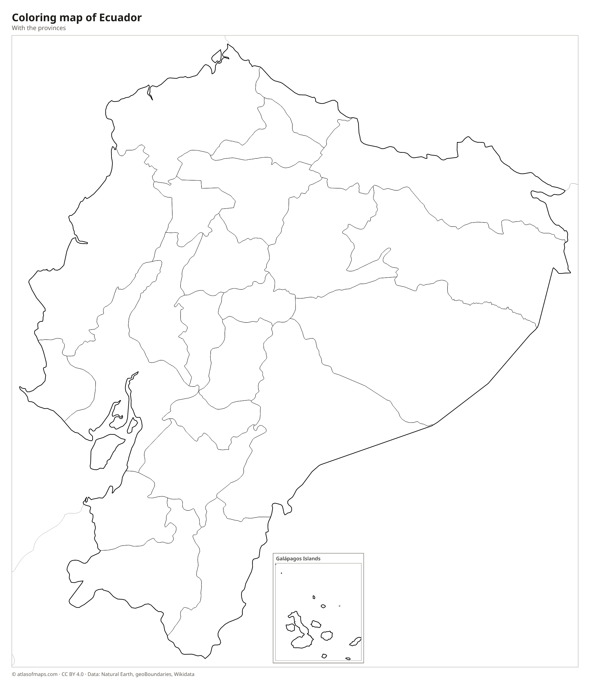
Coloring map of Ecuador

Geography of Ecuador
Mainland Ecuador falls into three regions: the Costa, the Sierra and the Oriente. The Costa is a band of coastal lowlands along the Pacific, centered on the port of Guayaquil. The Sierra consists of two parallel chains of the Andes, lined with volcanoes along what is called the Avenue of the Volcanoes, with high basins between them where Quito lies. Chimborazo, an inactive volcano, is the highest peak at 6,263 m (20,548 ft), and Cotopaxi is one of the highest active volcanoes in the world. East of the Andes, the Oriente is part of the Amazon rainforest.
Ecuador covers 257,204 km² (99,307 sq mi), including the Galápagos Islands, about 1,000 km (600 mi) west of the mainland in the Pacific. The Guayas River forms a wide estuary at Guayaquil, while the Napo and Pastaza flow east toward the Amazon. Near the equator, climate depends mainly on altitude: the coast and the Amazon are hot and humid, Quito has mild, spring-like weather all year, and the high peaks carry glaciers. The cold Humboldt Current makes parts of the southern coast and the Galápagos drier than their location would suggest.
Fun facts
- Because the Earth bulges at the equator, the summit of Chimborazo is the point on the Earth's surface farthest from the planet's center.
- Charles Darwin's visit to the Galápagos Islands in 1835 helped shape his ideas about evolution.
- The Mitad del Mundo monument near Quito marks the line of the equator.
Flag of Ecuador
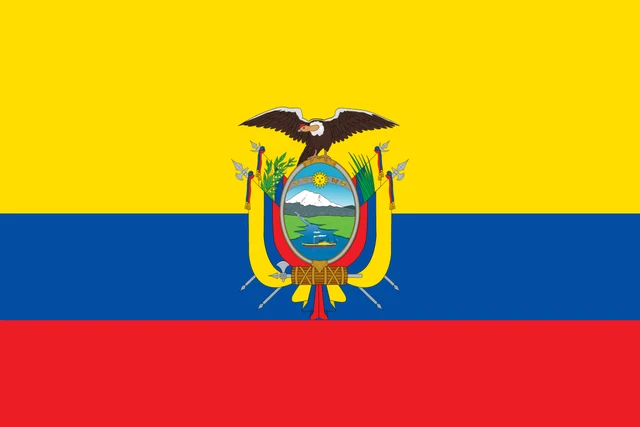
The flag of Ecuador has three horizontal stripes of yellow, blue and red, with the yellow stripe taking up the upper half. In the center is the national coat of arms, which shows a condor above an oval scene of Mount Chimborazo, the Guayas River with a steamship, and a sun with signs of the zodiac. Without the coat of arms, the flag looks much like Colombia's.
Countries bordering Ecuador
Frequently asked questions
What countries border Ecuador?
Ecuador borders two countries: Colombia to the north and Peru to the east and south. Its whole western side faces the Pacific Ocean, and the Galápagos Islands lie far offshore.
How many provinces does Ecuador have?
Ecuador has 24 provinces. They are spread across the coast, the Andean highlands and the Amazon region, and the Galápagos Islands form a province of their own.
Why is Ecuador called Ecuador?
Ecuador is the Spanish word for equator. The country is named after the line of latitude that crosses it just north of the capital, Quito.
What is the capital of Ecuador?
The capital of Ecuador is Quito.
What language is spoken in Ecuador?
The official languages are Spanish, Northern Quichua, and Shuar.
Can I print the map of Ecuador?
Yes. Every map on this page can be downloaded for free as PNG or PDF (US Letter) and printed, including the blank map and the coloring map. Please credit the source (Atlas of Maps, CC BY 4.0).
Use this map
You can download, print and share this map for free, in class, in school projects, in presentations and on websites, as long as you credit the source: Map of Ecuador · Atlas of Maps (atlasofmaps.com), license CC BY 4.0.
See also: Map of South America · Map of Latin America · World map