Map of Colombia with departments and capitals
Colombia is a country in the northwest of South America and the only one on the continent with coasts on both the Caribbean Sea and the Pacific Ocean. It borders Panama, Venezuela, Brazil, Peru and Ecuador. The political map shows its 32 departments and the Capital District of Bogotá, the capital, Bogotá, and major cities.

- Capital
- Bogotá
- Population
- 52.3 million (2023)
- Area
- 1,141,748 km² (440,831 sq mi)
- Population density
- 46 per km² (119 per sq mi)
- Official language
- Spanish
- Currency
- Colombian peso
- Demonym
- Colombian
- Divisions
- 32 departments and the Capital District of Bogotá
- Highest point
- Pico Cristóbal Colón (5,775 m (18,947 ft))
- Calling code
- +57
- Internet domain
- .co
- Official name
- Republic of Colombia
Where is Colombia?
Colombia is a country in the northwest of South America and the only one on the continent with coasts on both the Caribbean Sea and the Pacific Ocean. It borders Panama, Venezuela, Brazil, Peru and Ecuador.
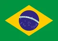
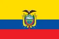
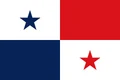
Neighboring countries: Brazil, Ecuador, Panama, Peru, Venezuela.

Departments of Colombia and their capitals
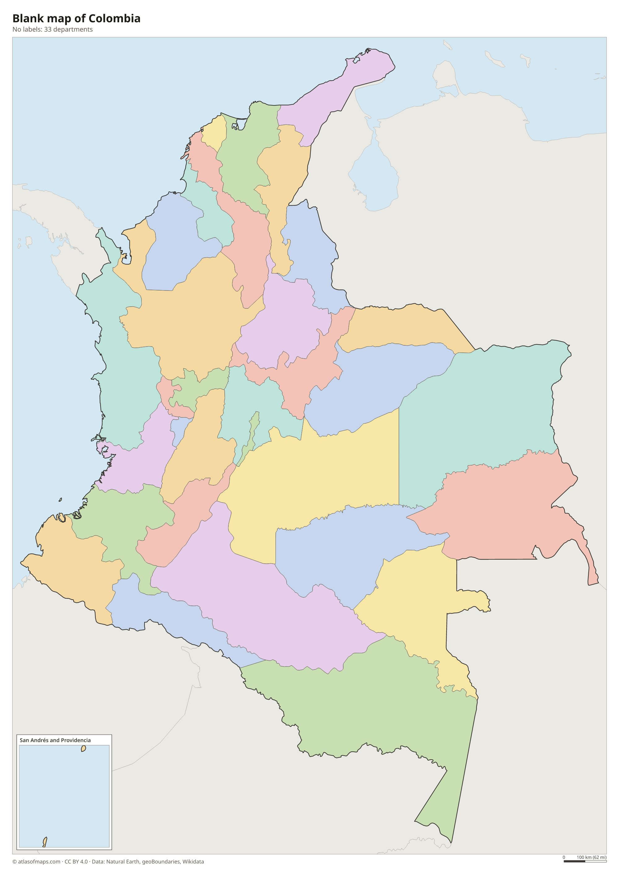
Colombia is divided into 32 departments and the Capital District of Bogotá, all shown on the map. The smallest department, San Andrés and Providencia, is a group of Caribbean islands that lies much closer to Nicaragua than to the Colombian mainland.
| Department | Capital | Population | Area |
|---|---|---|---|
| Amazonas | Leticia | 79,020 | 109,665 km² (42,342 sq mi) |
| Antioquia | Medellín | 6,677,930 | 63,612 km² (24,561 sq mi) |
| Arauca | Arauca | 294,206 | 23,818 km² (9,196 sq mi) |
| Atlántico | Barranquilla | 2,722,128 | 3,388 km² (1,308 sq mi) |
| Bogotá | Bogotá | 8,034,649 | 1,578 km² (609 sq mi) |
| Bolívar | — | 2,180,976 | 25,978 km² (10,030 sq mi) |
| Boyacá | Tunja | 1,242,731 | 23,189 km² (8,953 sq mi) |
| Caldas | Manizales | 1,018,453 | 7,888 km² (3,046 sq mi) |
| Caquetá | Florencia | 410,521 | 88,965 km² (34,350 sq mi) |
| Casanare | Yopal | 435,195 | 44,995 km² (17,373 sq mi) |
| Cauca | Popayán | 1,491,937 | 29,308 km² (11,316 sq mi) |
| Cesar | Valledupar | 1,295,387 | 22,905 km² (8,844 sq mi) |
| Chocó | Quibdó | 544,767 | 46,530 km² (17,965 sq mi) |
| Córdoba | Montería | 1,828,947 | 25,020 km² (9,660 sq mi) |
| Cundinamarca | Bogotá | 3,242,999 | 22,623 km² (8,735 sq mi) |
| Guainía | Inírida | 50,636 | 72,238 km² (27,891 sq mi) |
| Guaviare | San José del Guaviare | 73,081 | 53,460 km² (20,641 sq mi) |
| Huila | Neiva | 1,122,622 | 19,890 km² (7,680 sq mi) |
| La Guajira | Riohacha | 965,718 | 20,848 km² (8,049 sq mi) |
| Magdalena | Santa Marta | 1,427,026 | 23,188 km² (8,953 sq mi) |
| Meta | Villavicencio | 1,062,454 | 85,635 km² (33,064 sq mi) |
| Nariño | Pasto | 1,627,589 | 33,268 km² (12,845 sq mi) |
| Norte de Santander | Cúcuta | 1,620,318 | 21,658 km² (8,362 sq mi) |
| Putumayo | Mocoa | 359,127 | 24,885 km² (9,608 sq mi) |
| Quindío | Armenia | 555,401 | 1,845 km² (712 sq mi) |
| Risaralda | Pereira | 961,055 | 3,600 km² (1,390 sq mi) |
| San Andrés and Providencia | San Andrés | 63,692 | 53 km² (20 sq mi) |
| Santander | Bucaramanga | 2,280,908 | 30,537 km² (11,790 sq mi) |
| Sucre | Sincelejo | 949,252 | 10,917 km² (4,215 sq mi) |
| Tolima | Ibagué | 1,339,998 | 23,562 km² (9,097 sq mi) |
| Valle del Cauca | Cali | 4,532,152 | 22,140 km² (8,548 sq mi) |
| Vaupés | Mitú | 44,712 | 54,135 km² (20,902 sq mi) |
| Vichada | Puerto Carreño | 112,958 | 100,242 km² (38,704 sq mi) |
Population from Wikidata (latest figure available for each department).
Blank and coloring maps of Colombia
Blank map of Colombia

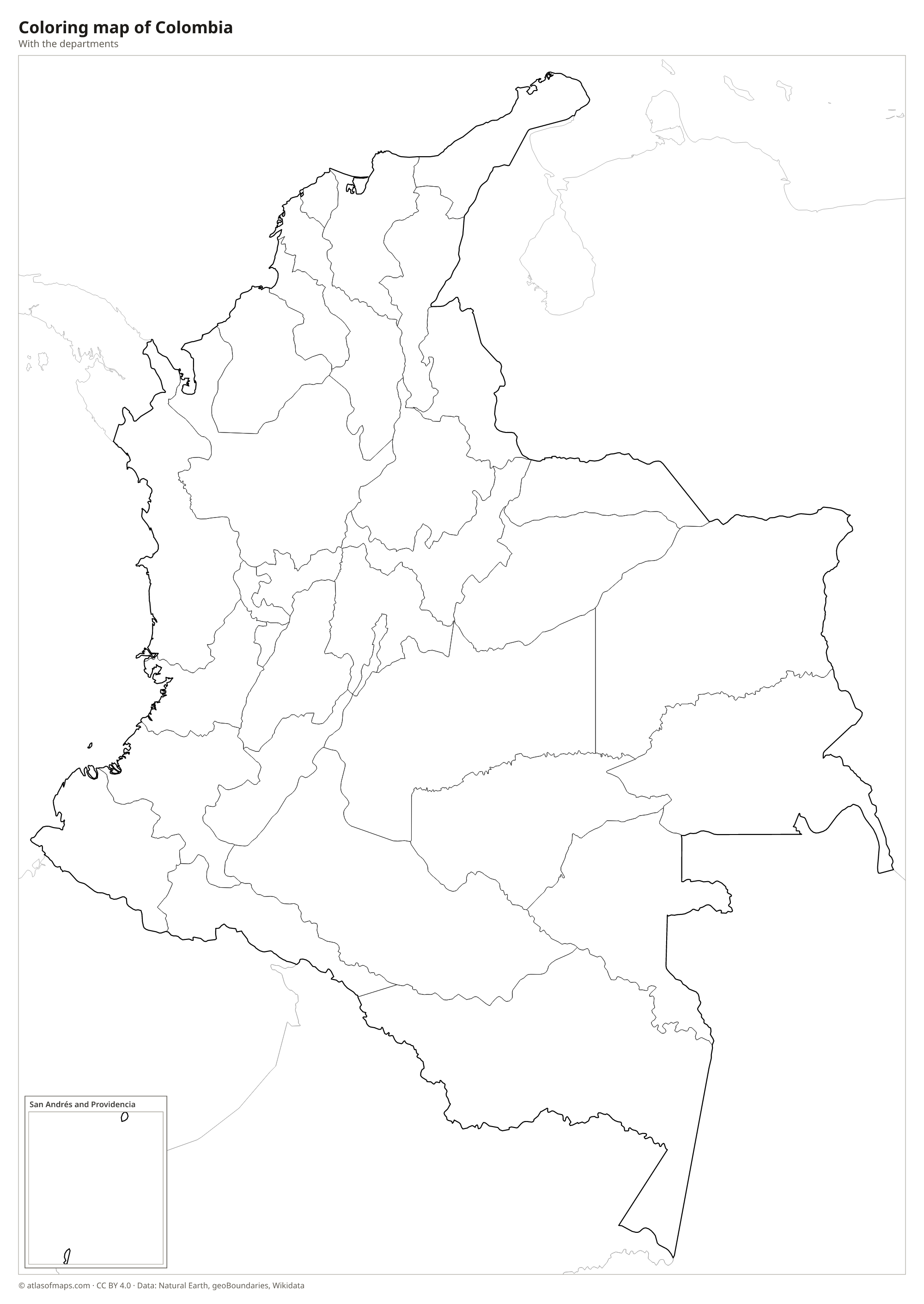
Coloring map of Colombia

Geography of Colombia
Colombia covers 1,141,748 km² (440,831 sq mi). In the west, the Andes split into three parallel ranges, the Cordillera Occidental, Central and Oriental, separated by deep river valleys, and Bogotá sits on a high plateau in the eastern range. Near the Caribbean coast stands the isolated Sierra Nevada de Santa Marta, where Pico Cristóbal Colón reaches 5,775 m (18,947 ft); it is often called the highest coastal mountain range in the world. East of the Andes, the land drops to the grassy Llanos plains and the Amazon rainforest.
The Magdalena, Colombia's main river, flows north between the central and eastern ranges to the Caribbean, joined by the Cauca in its lower course. Rivers in the east drain to the Orinoco and the Amazon. The Pacific coast, in the Chocó region, is one of the rainiest places on Earth. Because Colombia lies near the equator, temperature depends mainly on altitude: the lowlands are hot, cities such as Medellín and Bogotá are mild to cool, and the highest peaks carry glaciers. The country also includes the Caribbean islands of San Andrés and Providencia.
Fun facts
- Caño Cristales, a river in Meta department, turns shades of red, yellow, green and blue in some months because of plants growing on its riverbed.
- The Sierra Nevada de Santa Marta rises from Caribbean beaches to snow-capped peaks in a very short distance.
- Colombia has recorded more bird species than any other country.
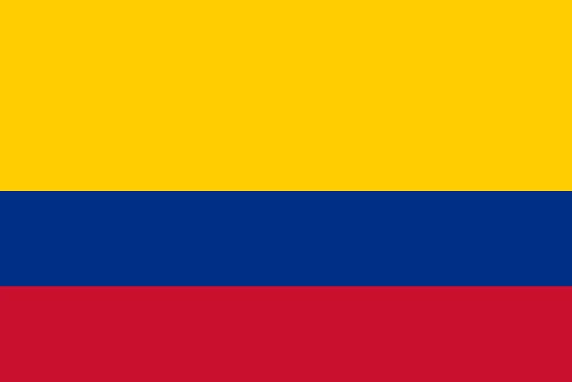
Flag of Colombia
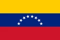
The flag of Colombia has three horizontal stripes: yellow on top, blue in the middle and red at the bottom. The yellow stripe fills the upper half of the flag, while the blue and red stripes each take up a quarter. The national flag carries no emblem. Ecuador and Venezuela use the same three colors.
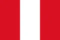
Countries bordering Colombia
Frequently asked questions
What countries border Colombia?
Colombia borders five countries: Panama to the northwest, Venezuela to the east, Brazil to the southeast, and Peru and Ecuador to the south. It also has coasts on the Caribbean Sea and the Pacific Ocean.
How many departments does Colombia have?
Colombia has 32 departments plus the Capital District of Bogotá. Amazonas, in the far south, is the largest department by area, while San Andrés and Providencia is the smallest.
Is Colombia in Central or South America?
Colombia is in South America. Its northwestern corner borders Panama, the southernmost country of Central America, and the two meet in the dense rainforest of the Darién.
What is the capital of Colombia?
The capital of Colombia is Bogotá.
What language is spoken in Colombia?
The official language is Spanish.
Can I print the map of Colombia?
Yes. Every map on this page can be downloaded for free as PNG or PDF (US Letter) and printed, including the blank map and the coloring map. Please credit the source (Atlas of Maps, CC BY 4.0).
Use this map
You can download, print and share this map for free, in class, in school projects, in presentations and on websites, as long as you credit the source: Map of Colombia · Atlas of Maps (atlasofmaps.com), license CC BY 4.0.
See also: Map of South America · Map of Latin America · World map