Map of Peru with departments and capitals
Peru is a country in western South America with a long coastline on the Pacific Ocean. It borders Ecuador and Colombia to the north, Brazil to the east, Bolivia to the southeast and Chile to the south. The political map shows its 24 departments, Lima Province and Callao, the capital, Lima, and major cities.

- Capital
- Lima
- Population
- 34.2 million (2025)
- Area
- 1,285,216 km² (496,225 sq mi)
- Population density
- 27 per km² (69 per sq mi)
- Official languages
- Spanish, Aymara, and Quechua
- Currency
- Nuevo sol
- Demonym
- Peruvian
- Divisions
- 24 departments, Lima Province and Callao
- Highest point
- Huascarán (6,768 m (22,205 ft))
- Calling code
- +51
- Internet domain
- .pe
Where is Peru?
Peru is a country in western South America with a long coastline on the Pacific Ocean. It borders Ecuador and Colombia to the north, Brazil to the east, Bolivia to the southeast and Chile to the south.
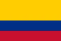
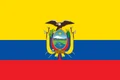
Neighboring countries: Bolivia, Brazil, Chile, Colombia, Ecuador.

Departments of Peru and their capitals
Peru is divided into 24 departments, also called regions, plus Lima Province, which is governed separately from the surrounding Lima department, and the constitutional province of Callao, the port next to Lima. All of them are drawn on the map.
| Department | Capital | Population | Area |
|---|---|---|---|
| Amazonas | Chachapoyas | 437,579 | 39,249 km² (15,154 sq mi) |
| Áncash | Huaraz | 1,201,826 | 35,890 km² (13,857 sq mi) |
| Apurímac | Abancay | 419,957 | 20,896 km² (8,068 sq mi) |
| Arequipa | Arequipa | 1,656,215 | 63,345 km² (24,458 sq mi) |
| Ayacucho | Ayacucho | 665,109 | 43,821 km² (16,919 sq mi) |
| Cajamarca | Cajamarca | 1,445,237 | 33,304 km² (12,859 sq mi) |
| Callao | Callao | 1,239,513 | 146 km² (56 sq mi) |
| Cusco | Cusco | 1,401,025 | 71,987 km² (27,794 sq mi) |
| Huancavelica | Huancavelica | 319,137 | 22,125 km² (8,543 sq mi) |
| Huanuco | Huánuco | 738,642 | 37,266 km² (14,388 sq mi) |
| Ica | Ica | 1,093,680 | 21,328 km² (8,235 sq mi) |
| Junín | Huancayo | 1,376,453 | 44,329 km² (17,116 sq mi) |
| La Libertad | Trujillo | 2,171,379 | 25,500 km² (9,846 sq mi) |
| Lambayeque | Chiclayo | 1,384,130 | 14,231 km² (5,495 sq mi) |
| Lima | Lima | 10,142,492 | 2,672 km² (1,032 sq mi) |
| Lima Province | Lima | 10,142,492 | 2,672 km² (1,032 sq mi) |
| Loreto | Iquitos | 1,068,905 | 368,773 km² (142,384 sq mi) |
| Madre de Dios | Puerto Maldonado | 212,872 | 85,301 km² (32,935 sq mi) |
| Moquegua | Moquegua | 205,591 | 15,734 km² (6,075 sq mi) |
| Pasco | Cerro de Pasco | 264,254 | 25,026 km² (9,663 sq mi) |
| Piura | Piura | 2,196,006 | 35,658 km² (13,768 sq mi) |
| Puno | Puno | 1,203,271 | 71,999 km² (27,799 sq mi) |
| San Martín | Moyobamba | 958,305 | 51,288 km² (19,802 sq mi) |
| Tacna | Tacna | 406,531 | 16,076 km² (6,207 sq mi) |
| Tumbes | Tumbes | 335,501 | 4,669 km² (1,803 sq mi) |
| Ucayali | Pucallpa | 660,256 | 102,199 km² (39,459 sq mi) |
Population from Wikidata (latest figure available for each department).
Blank and coloring maps of Peru
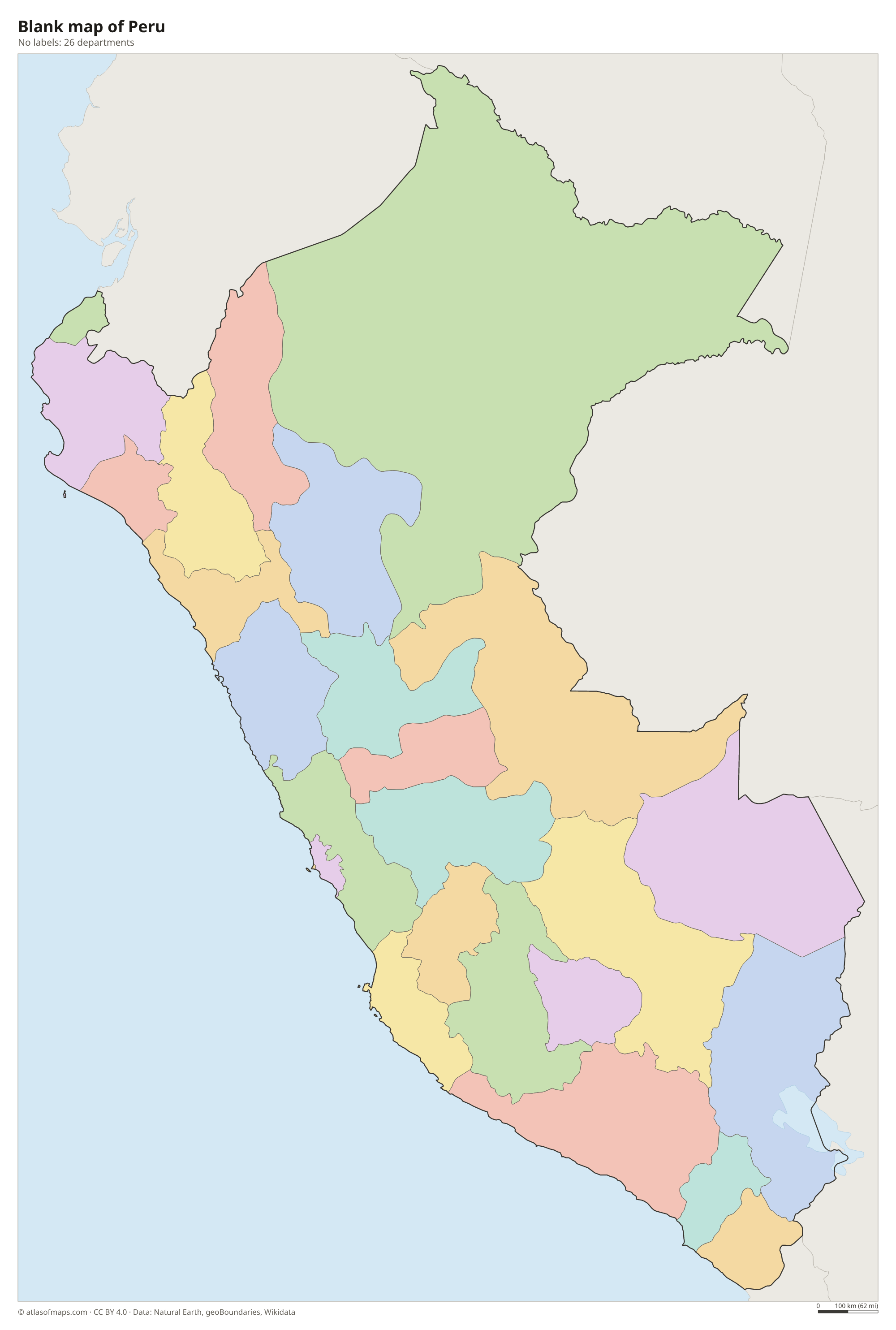
Blank map of Peru

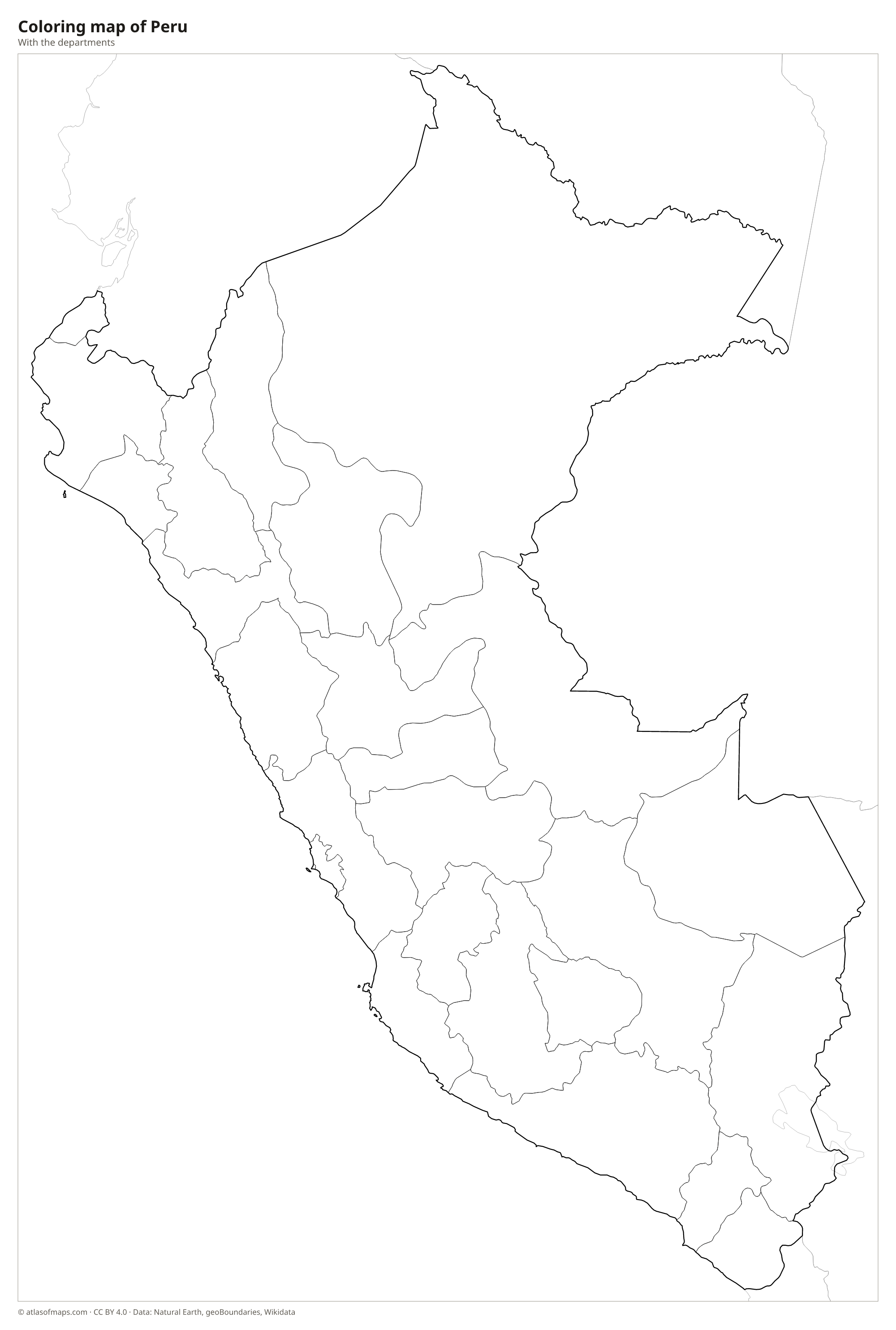
Coloring map of Peru

Geography of Peru
Peru is usually described as three natural regions. The costa is a narrow coastal desert, one of the driest places on Earth, crossed by green river valleys where cities such as Lima and Trujillo grew. The sierra is the Andes, with high plateaus, deep canyons and snow-capped ranges like the Cordillera Blanca, home to Huascarán, the country's highest point at 6,768 m (22,205 ft). East of the mountains lies the selva, the Amazon rainforest, which covers more than half of the country.
Most of Peru's rivers drain east to the Amazon. The Marañón and the Ucayali, both rising in the Andes, join upstream of Iquitos to form the Amazon itself. In the far south, Lake Titicaca on the border with Bolivia is often called the highest navigable lake in the world. The cold Humboldt Current offshore keeps the coast cool and dry and feeds rich fishing grounds, while El Niño years can bring heavy rain to the north coast. The climate ranges from desert on the coast to alpine in the Andes and hot, humid jungle in the east.
Fun facts
- The most distant source of the Amazon River lies in the Peruvian Andes.
- Machu Picchu, the Inca citadel, sits on a mountain ridge above the Urubamba River valley.
- Iquitos, on the Amazon River, is a large city that cannot be reached by road, only by air or by boat.
Flag of Peru
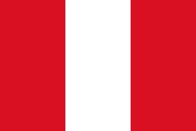
The flag of Peru has three equal vertical stripes of red, white and red, with the white stripe in the middle. The civil flag, flown by citizens, has no emblem. The state flag adds the national coat of arms in the center, a shield showing a vicuña, a cinchona tree and a cornucopia spilling coins, framed by palm and laurel branches.
Countries bordering Peru
Frequently asked questions
What countries border Peru?
Peru borders five countries: Ecuador and Colombia to the north, Brazil to the east, Bolivia to the southeast and Chile to the south. Its entire western side faces the Pacific Ocean.
How many departments does Peru have?
Peru has 24 departments, also called regions, plus Lima Province, which is governed separately, and the constitutional province of Callao. Lima is the capital and by far the largest city.
Is the Amazon rainforest in Peru?
Yes. The Amazon rainforest covers more than half of Peru, east of the Andes, and the Amazon River itself begins in Peru where the Marañón and Ucayali rivers meet.
What is the capital of Peru?
The capital of Peru is Lima.
What language is spoken in Peru?
The official languages are Spanish, Aymara, and Quechua.
Can I print the map of Peru?
Yes. Every map on this page can be downloaded for free as PNG or PDF (US Letter) and printed, including the blank map and the coloring map. Please credit the source (Atlas of Maps, CC BY 4.0).
Use this map
You can download, print and share this map for free, in class, in school projects, in presentations and on websites, as long as you credit the source: Map of Peru · Atlas of Maps (atlasofmaps.com), license CC BY 4.0.
See also: Map of South America · Map of Latin America · World map