Map of El Salvador with departments and capitals
El Salvador is the smallest country in Central America, on the Pacific coast between Guatemala to the west and Honduras to the north and east. It is the only Central American country without a coastline on the Caribbean Sea. The political map shows its 14 departments, the capital, San Salvador, and major cities.

- Capital
- San Salvador
- Population
- 6 million (2024)
- Area
- 21,041 km² (8,124 sq mi)
- Population density
- 287 per km² (742 per sq mi)
- Official language
- Spanish
- Currency
- United States dollar
- Demonym
- Salvadoran
- Departments
- 14
- Highest point
- Cerro El Pital (2,730 m (8,957 ft))
- Calling code
- +503
- Internet domain
- .sv
Where is El Salvador?
El Salvador is the smallest country in Central America, on the Pacific coast between Guatemala to the west and Honduras to the north and east. It is the only Central American country without a coastline on the Caribbean Sea.

Departments of El Salvador and their capitals
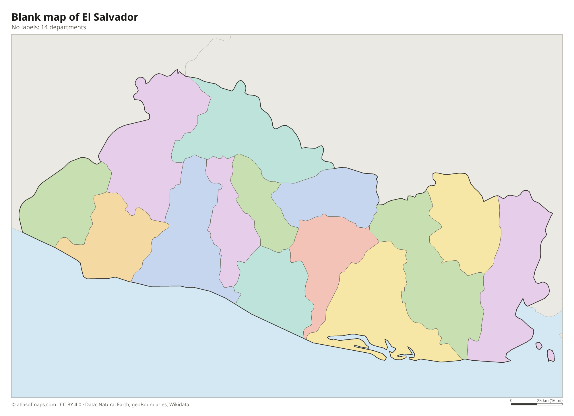
El Salvador is divided into 14 departments, from Ahuachapán in the west to La Unión in the east. The capital, San Salvador, lies in the department of the same name, the most populous of them.
| Department | Capital | Population | Area |
|---|---|---|---|
| Ahuachapán | Ahuachapán | 348,880 | 1,240 km² (479 sq mi) |
| Cabañas | Sensuntepeque | 143,049 | 1,104 km² (426 sq mi) |
| Chalatenango | Chalatenango | 185,930 | 2,017 km² (779 sq mi) |
| Cuscatlán | Cojutepeque | 244,901 | 756 km² (292 sq mi) |
| La Libertad | Santa Tecla | 765,879 | 1,653 km² (638 sq mi) |
| La Paz | Zacatecoluca | 318,374 | 1,224 km² (473 sq mi) |
| La Unión | La Unión | 224,375 | 2,074 km² (801 sq mi) |
| Morazán | San Francisco Gotera | 169,784 | 1,447 km² (559 sq mi) |
| San Miguel | San Miguel | 447,634 | 2,077 km² (802 sq mi) |
| San Salvador | San Salvador | 1,563,371 | 886 km² (342 sq mi) |
| San Vicente | San Vicente | 161,857 | 1,184 km² (457 sq mi) |
| Santa Ana | Santa Ana | 552,938 | 2,023 km² (781 sq mi) |
| Sonsonate | Sonsonate | 470,455 | 1,226 km² (473 sq mi) |
| Usulután | Usulután | 325,494 | 2,130 km² (822 sq mi) |
Population from Wikidata (latest figure available for each department).
Blank and coloring maps of El Salvador
Blank map of El Salvador

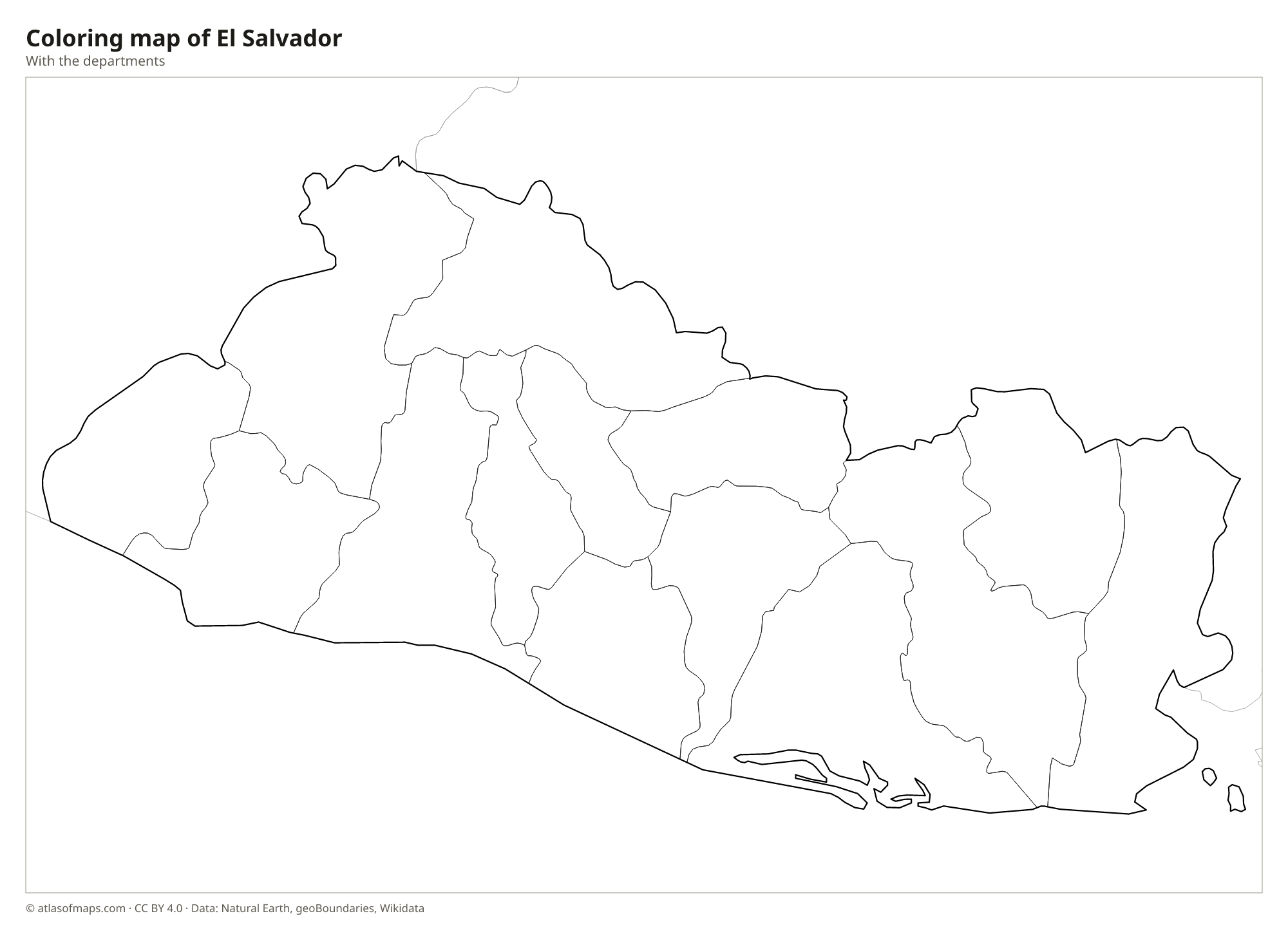
Coloring map of El Salvador

Geography of El Salvador
El Salvador covers 21,041 km² (8,124 sq mi). Two volcanic ranges cross it from west to east: a southern chain of young volcanoes such as Santa Ana, Izalco, San Salvador and San Miguel, and older mountains in the north along the border with Honduras, where Cerro El Pital reaches 2,730 m (8,957 ft). Between them lies a central plateau with fertile volcanic soils, where most of the population lives. A narrow plain borders the Pacific, broken by hills that reach the sea along the Balsam Coast.
The Lempa River, the country's longest, enters from Guatemala and Honduras, crosses the north and center and reaches the Pacific on the south coast. Volcanic crater lakes such as Coatepeque and Ilopango lie near the main cities. In the east, the Gulf of Fonseca is shared with Honduras and Nicaragua. The climate is tropical, with a rainy season from about May to October and a dry season for the rest of the year, and temperatures are cooler in the highlands.
Fun facts
- El Salvador is the most densely populated country in Central America.
- Joya de Cerén, a Maya farming village buried by a volcanic eruption around 600 CE, is a UNESCO World Heritage Site often called the Pompeii of the Americas.
- Izalco volcano erupted almost constantly for nearly two centuries after it formed in 1770 and was nicknamed the Lighthouse of the Pacific.
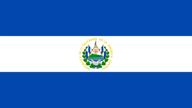
Flag of El Salvador
The flag of El Salvador has three horizontal stripes of equal height: blue, white and blue. In the center of the white stripe is the coat of arms, a triangle showing five volcanoes rising from the sea, a red Phrygian cap and a rainbow, surrounded by five national flags, a laurel wreath and the words República de El Salvador en la América Central.
Countries bordering El Salvador
Frequently asked questions
What countries border El Salvador?
El Salvador borders two countries: Guatemala to the west and Honduras to the north and east. Its southern side faces the Pacific Ocean, and Nicaragua lies across the Gulf of Fonseca.
How many departments does El Salvador have?
El Salvador has 14 departments, from Ahuachapán and Santa Ana in the west to Morazán and La Unión in the east. The capital, San Salvador, lies in the department of the same name.
Does El Salvador have a Caribbean coast?
No. El Salvador is the only country in Central America without a Caribbean coastline. Its only coast is on the Pacific Ocean and is about 300 km (190 mi) long.
What is the capital of El Salvador?
The capital of El Salvador is San Salvador.
What language is spoken in El Salvador?
The official language is Spanish.
Can I print the map of El Salvador?
Yes. Every map on this page can be downloaded for free as PNG or PDF (US Letter) and printed, including the blank map and the coloring map. Please credit the source (Atlas of Maps, CC BY 4.0).
Use this map
You can download, print and share this map for free, in class, in school projects, in presentations and on websites, as long as you credit the source: Map of El Salvador · Atlas of Maps (atlasofmaps.com), license CC BY 4.0.
See also: Map of North America · Map of Central America · Map of Latin America · World map