Map of Honduras with departments and capitals
Honduras is a country in Central America. It borders Guatemala to the west, El Salvador to the southwest and Nicaragua to the southeast, with a long Caribbean coastline to the north and a short Pacific coast on the Gulf of Fonseca in the south. The political map shows its 18 departments, the capital, Tegucigalpa, and major cities.

- Capital
- Tegucigalpa
- Population
- 8.3 million (2013)
- Area
- 112,492 km² (43,433 sq mi)
- Population density
- 74 per km² (191 per sq mi)
- Official language
- Spanish
- Currency
- Honduran lempira
- Demonym
- Honduran
- Departments
- 18
- Highest point
- Cerro Las Minas (2,849 m (9,347 ft))
- Calling code
- +504
- Internet domain
- .hn
Where is Honduras?
Honduras is a country in Central America. It borders Guatemala to the west, El Salvador to the southwest and Nicaragua to the southeast, with a long Caribbean coastline to the north and a short Pacific coast on the Gulf of Fonseca in the south.
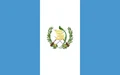
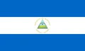
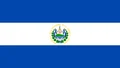
Neighboring countries: Guatemala, Nicaragua, El Salvador.

Departments of Honduras and their capitals
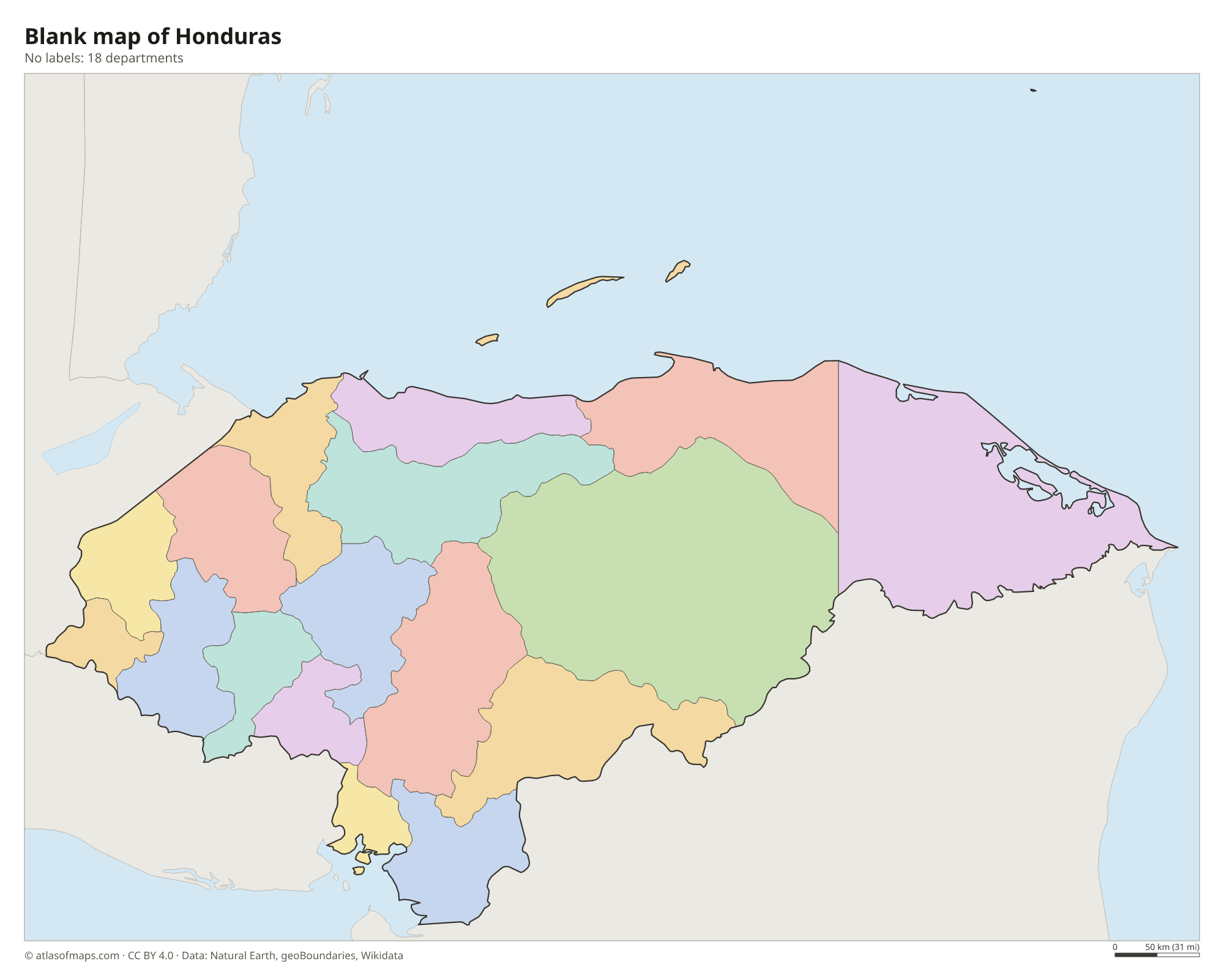
Honduras is divided into 18 departments, each split into municipalities. Francisco Morazán contains the capital, Tegucigalpa, Cortés includes San Pedro Sula, Gracias a Dios covers La Mosquitia, and the Bay Islands form their own department.
| Department | Capital | Population | Area |
|---|---|---|---|
| Atlántida | La Ceiba | 436,252 | 4,372 km² (1,688 sq mi) |
| Bay Islands | Coxen Hole | 62,557 | 236 km² (91 sq mi) |
| Choluteca | Choluteca | 437,618 | 4,360 km² (1,683 sq mi) |
| Colón | Trujillo | 309,926 | 8,249 km² (3,185 sq mi) |
| Comayagua | Comayagua | 493,466 | 5,124 km² (1,978 sq mi) |
| Copán | Santa Rosa de Copán | 371,057 | 3,242 km² (1,252 sq mi) |
| Cortés | San Pedro Sula | 1,562,394 | 3,923 km² (1,515 sq mi) |
| El Paraíso | Yuscarán | 444,507 | 7,489 km² (2,892 sq mi) |
| Francisco Morazán | Tegucigalpa | 1,508,906 | 8,619 km² (3,328 sq mi) |
| Gracias a Dios | Puerto Lempira | 90,765 | 16,997 km² (6,563 sq mi) |
| Intibucá | La Esperanza | 232,553 | 3,123 km² (1,206 sq mi) |
| La Paz | La Paz | 198,926 | 2,525 km² (975 sq mi) |
| Lempira | Gracias | 321,179 | 4,228 km² (1,632 sq mi) |
| Ocotepeque | Ocotepeque | 146,030 | 1,630 km² (629 sq mi) |
| Olancho | Juticalpa | 520,761 | 23,905 km² (9,230 sq mi) |
| Santa Bárbara | Santa Bárbara | 421,337 | 5,024 km² (1,940 sq mi) |
| Valle | Nacaome | 174,511 | 1,665 km² (643 sq mi) |
| Yoro | Yoro | 570,595 | 7,781 km² (3,004 sq mi) |
Population from Wikidata (latest figure available for each department).
Blank and coloring maps of Honduras
Blank map of Honduras

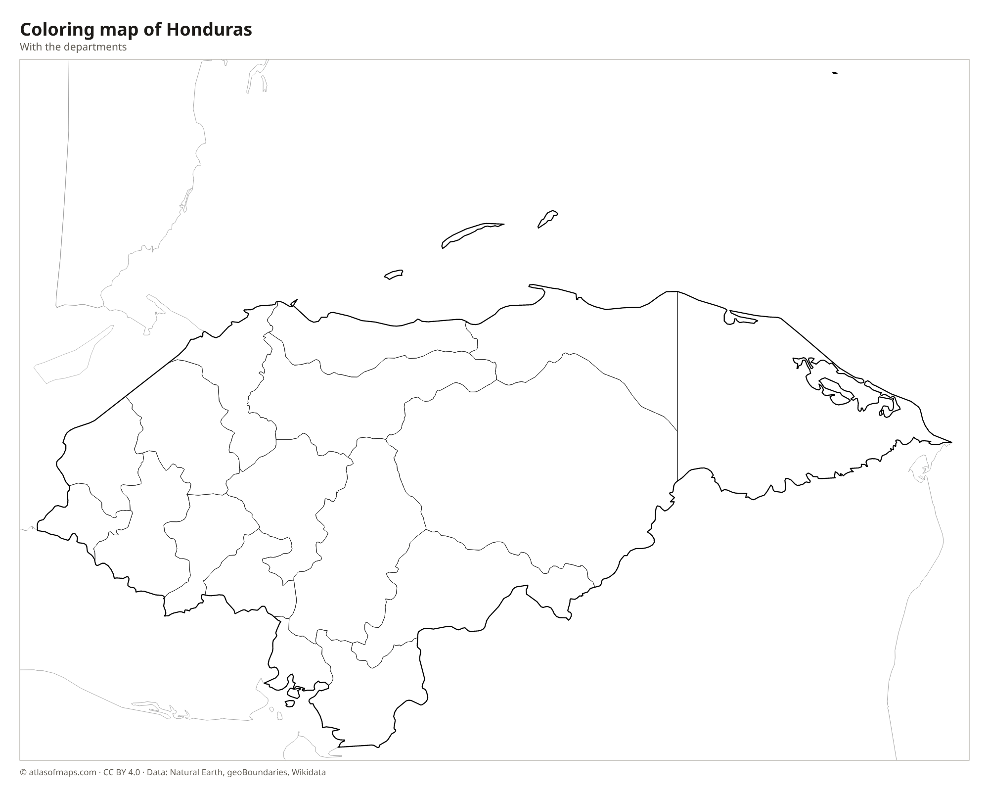
Coloring map of Honduras

Geography of Honduras
Mountains and high valleys fill most of the interior of Honduras, which covers 112,492 km² (43,433 sq mi). The highest point, Cerro Las Minas, rises to 2,849 m (9,347 ft) in Celaque National Park in the west. Along the Caribbean lies a lowland belt with banana plantations and the busy Sula Valley around San Pedro Sula. In the far east, La Mosquitia is a remote region of rainforest, lagoons and pine savanna, with the Río Plátano Biosphere Reserve. Offshore, the Bay Islands of Roatán, Utila and Guanaja sit on the Mesoamerican Barrier Reef.
Most rivers drain north to the Caribbean, including the Ulúa, the Aguán and the long Patuca. The Coco River forms much of the border with Nicaragua, and the Choluteca River flows south to the Pacific. Lake Yojoa, in the central highlands, is the largest natural lake. The lowlands are hot and humid, while highland cities such as Tegucigalpa are cooler. The country lies in the path of Caribbean hurricanes, and Hurricane Mitch in 1998 caused enormous damage across Honduras.
Fun facts
- The Maya city of Copán in western Honduras is famous for its carved stone monuments and is a UNESCO World Heritage Site.
- Honduras means depths in Spanish, a name traditionally linked to the deep waters off its northern coast.
- The small Swan Islands, far out in the Caribbean Sea, also belong to Honduras.
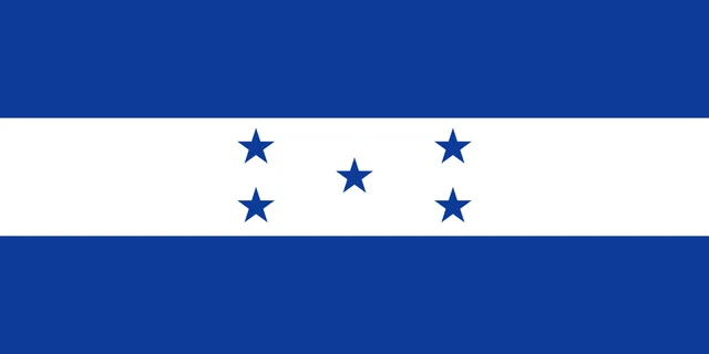
Flag of Honduras
The flag of Honduras has three equal horizontal stripes, blue, white and blue. In the center of the white stripe are five blue five-pointed stars arranged in an X pattern, four at the corners of a square and one in the middle, like the five on a die. The flag has a 1:2 ratio.
Countries bordering Honduras
Frequently asked questions
What countries border Honduras?
Honduras borders three countries: Guatemala to the west, El Salvador to the southwest and Nicaragua to the south and southeast.
How many departments does Honduras have?
Honduras has 18 departments. The capital, Tegucigalpa, is in Francisco Morazán, and the island department of the Bay Islands (Islas de la Bahía) lies off the Caribbean coast.
Does Honduras have a coast on both oceans?
Yes. Honduras has a long coast on the Caribbean Sea, part of the Atlantic, and a short coast on the Pacific Ocean along the Gulf of Fonseca, which it shares with El Salvador and Nicaragua.
What is the capital of Honduras?
The capital of Honduras is Tegucigalpa.
What language is spoken in Honduras?
The official language is Spanish.
Can I print the map of Honduras?
Yes. Every map on this page can be downloaded for free as PNG or PDF (US Letter) and printed, including the blank map and the coloring map. Please credit the source (Atlas of Maps, CC BY 4.0).
Use this map
You can download, print and share this map for free, in class, in school projects, in presentations and on websites, as long as you credit the source: Map of Honduras · Atlas of Maps (atlasofmaps.com), license CC BY 4.0.
See also: Map of North America · Map of Central America · Map of Latin America · World map