Map of Sudan
Sudan is a large country in northeastern Africa with a coastline on the Red Sea. It borders Egypt, Libya, Chad, the Central African Republic, South Sudan, Ethiopia and Eritrea, and the Nile flows through it from south to north. The political map shows its states, the capital, Khartoum, and major cities.

- Capital
- Khartoum
- Population
- 40.5 million (2017)
- Area
- 1,886,068 km² (728,215 sq mi)
- Population density
- 21 per km² (56 per sq mi)
- Official languages
- Arabic and English
- Currency
- Sudanese pound
- Demonym
- Sudanese
- Highest point
- Deriba Caldera (3,042 m (9,980 ft))
- Calling code
- +249
- Internet domain
- .sd
Where is Sudan?
Sudan is a large country in northeastern Africa with a coastline on the Red Sea. It borders Egypt, Libya, Chad, the Central African Republic, South Sudan, Ethiopia and Eritrea, and the Nile flows through it from south to north.
Neighboring countries: Central African Republic, Egypt, Eritrea, Ethiopia, Libya, South Sudan, Chad.

States of Sudan and their capitals
Sudan is divided into states, each with its own capital and government. The map shows them as drawn by Natural Earth, so the borders may not match the latest reorganization of Sudan's states.
The divisions on the map come from Natural Earth and may not reflect the latest territorial reform in Sudan.
| State | Capital | Population | Area |
|---|---|---|---|
| Al Jazirah | Wad Madani | 4,926,555 | 27,549 km² (10,637 sq mi) |
| Al Qadarif | Al Qadarif | 1,348,378 | 75,263 km² (29,059 sq mi) |
| Blue Nile | Ad-Damazin | 1,108,400 | 45,844 km² (17,700 sq mi) |
| Central Darfur | Zalingei | 751,400 | — |
| East Darfur | Ed Daein | — | — |
| Kassala | Kassala | 2,519,100 | 36,710 km² (14,174 sq mi) |
| Khartoum | Khartoum | 7,993,900 | 22,142 km² (8,549 sq mi) |
| North Darfur | Al-Fashir | 1,583,179 | 296,420 km² (114,448 sq mi) |
| North Kordofan | El-Obeid | 2,216,200 | 185,302 km² (71,546 sq mi) |
| Northern | Dongola | 936,300 | 348,765 km² (134,659 sq mi) |
| Red Sea | Port Sudan | 1,482,100 | 218,887 km² (84,513 sq mi) |
| River Nile | Ad-Damir | 1,472,257 | 122,123 km² (47,152 sq mi) |
| Sennar | Singa | 1,918,700 | 37,844 km² (14,612 sq mi) |
| South Darfur | Nyala | 3,765,800 | 127,300 km² (49,151 sq mi) |
| South Kordofan | Kaduqli | 1,300,700 | 79,470 km² (30,684 sq mi) |
| West Soudan | Geneina | — | 79,460 km² (30,680 sq mi) |
| White Nile | Rabak | 2,493,900 | 39,701 km² (15,329 sq mi) |
Population from Wikidata (latest figure available for each state).
Blank and coloring maps of Sudan
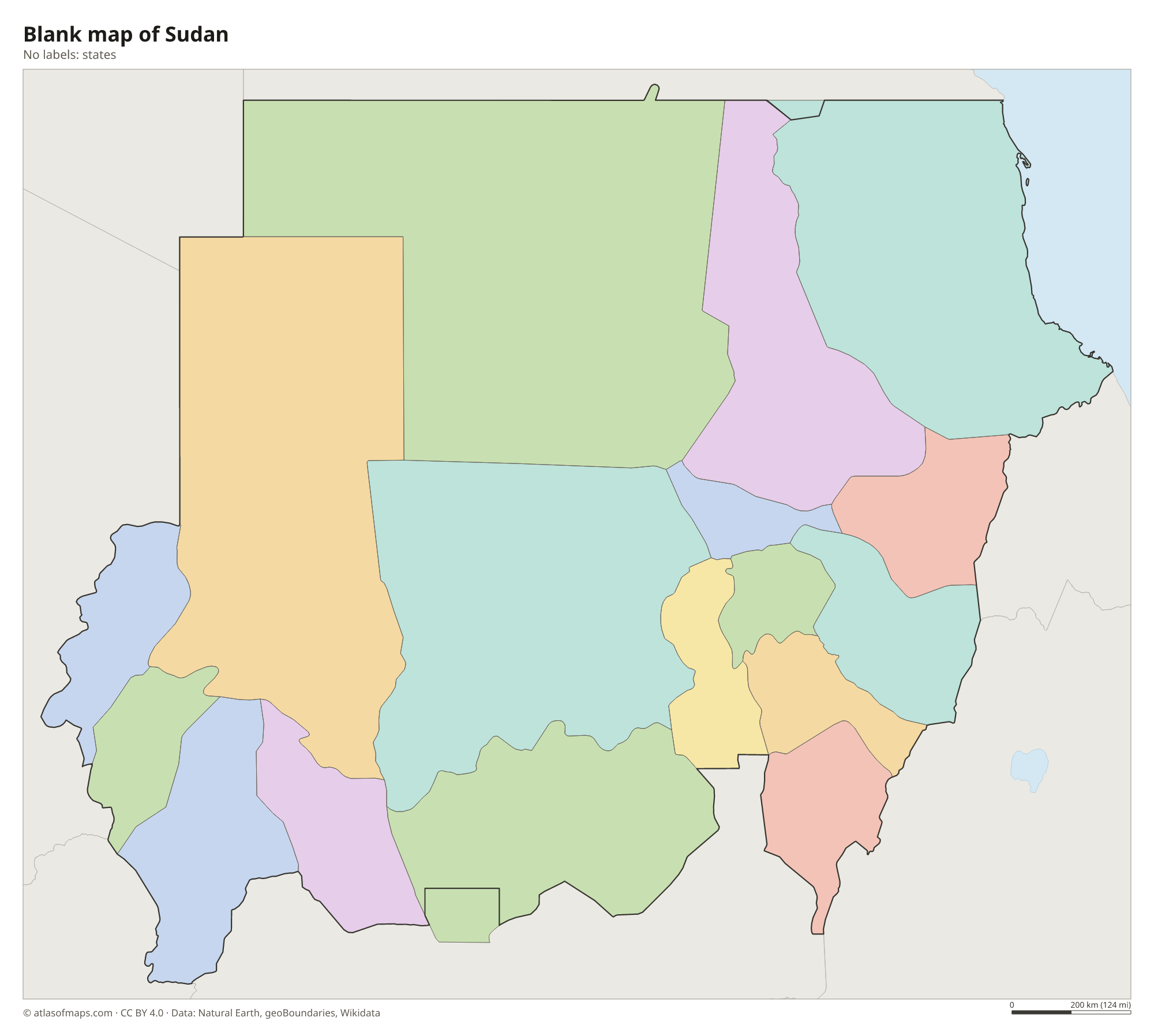
Blank map of Sudan

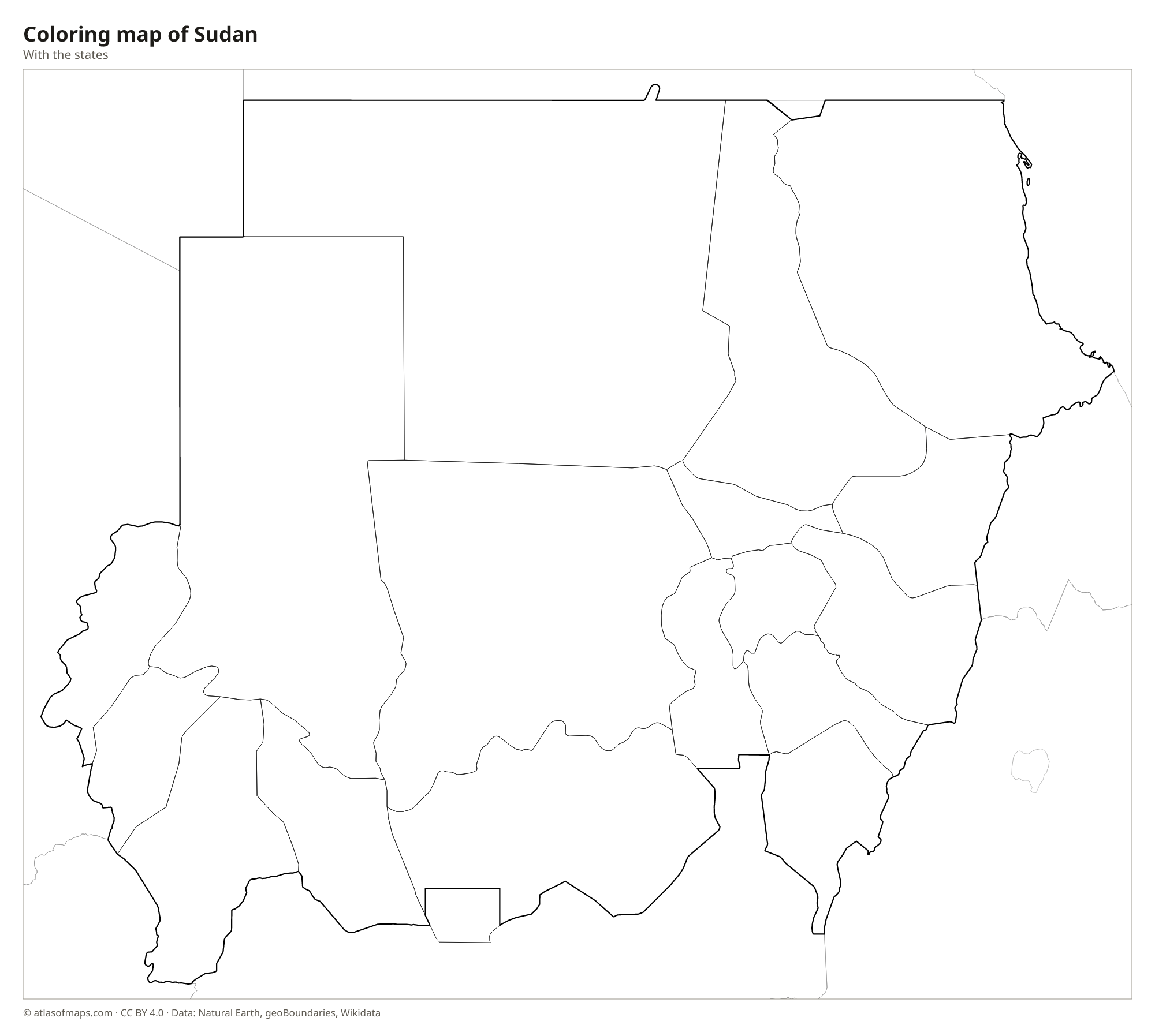
Coloring map of Sudan

Geography of Sudan
Most of Sudan is a vast, low plateau covering about 1,886,068 km² (728,215 sq mi), which makes it the third-largest country in Africa. The north is desert: the Libyan Desert spreads across the northwest, and the Nubian Desert lies east of the great bend of the Nile. Behind a narrow plain on the Red Sea coast rise the Red Sea Hills. In the far west, the volcanic Marrah Mountains of Darfur climb to the highest point, Deriba Caldera, at 3,042 m (9,980 ft), and the Nuba Mountains stand farther east in Kordofan.
The Nile is the lifeline of Sudan. The White Nile, coming from South Sudan, and the Blue Nile, coming from the Ethiopian Highlands, meet at Khartoum and continue north as the main Nile toward Egypt. Dams such as Roseires on the Blue Nile and Merowe on the main river hold back large reservoirs, and the far north reaches into Lake Nubia, the Sudanese part of the lake behind Egypt's Aswan High Dam. The climate changes from hot desert in the north, where rain is rare, to dry Sahel in the center and wetter savanna in the south, which has a summer rainy season.
Fun facts
- Sudan has more ancient pyramids than Egypt, many of them grouped at Meroë, the old capital of the Kingdom of Kush.
- Where the Blue Nile and the White Nile meet at Khartoum, the two rivers often flow side by side for a while as bands of differently colored water.
- Since South Sudan became independent in 2011, Sudan has been the third-largest country in Africa by area, after Algeria and the Democratic Republic of the Congo.
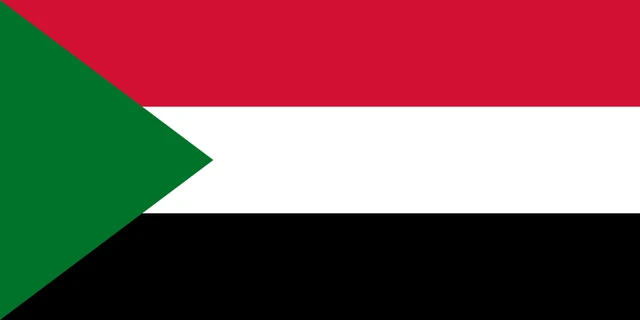
Flag of Sudan
The flag of Sudan has three equal horizontal stripes of red, white and black, with a green triangle on the hoist side that points into the flag. It carries no emblem, stars or writing, and it is twice as long as it is tall. The pattern resembles several other Arab flags, but the green triangle makes it easy to tell apart.
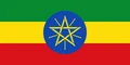
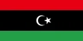
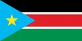
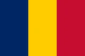
Countries bordering Sudan
Frequently asked questions
What countries border Sudan?
Sudan borders seven countries: Egypt, Libya, Chad, the Central African Republic, South Sudan, Ethiopia and Eritrea. In the northeast it also has a long coastline on the Red Sea.
What is the capital of Sudan?
The capital of Sudan is Khartoum. It lies where the Blue Nile and the White Nile join, and together with Omdurman and Khartoum North it forms the country's largest urban area.
Is Sudan the same as South Sudan?
No. South Sudan was part of Sudan until it became an independent country in 2011. Today they are separate countries that share a long border, with Sudan to the north.
What language is spoken in Sudan?
The official languages are Arabic and English.
Can I print the map of Sudan?
Yes. Every map on this page can be downloaded for free as PNG or PDF (US Letter) and printed, including the blank map and the coloring map. Please credit the source (Atlas of Maps, CC BY 4.0).
Use this map
You can download, print and share this map for free, in class, in school projects, in presentations and on websites, as long as you credit the source: Map of Sudan · Atlas of Maps (atlasofmaps.com), license CC BY 4.0.
See also: Map of Africa · World map