Map of the Republic of the Congo
The Republic of the Congo, also called Congo-Brazzaville, is a country in Central Africa that straddles the equator. It borders Gabon, Cameroon, the Central African Republic, the Democratic Republic of the Congo and Angola's Cabinda exclave, and has a short Atlantic coastline. The political map shows its regions, the capital, Brazzaville, and major cities.

- Capital
- Brazzaville
- Population
- 6.1 million (2023)
- Area
- 342,000 km² (132,047 sq mi)
- Population density
- 18 per km² (47 per sq mi)
- Official language
- French
- Currency
- Central African CFA franc
- Demonym
- Congolese
- Highest point
- Mont Nabemba (1,020 m (3,346 ft))
- Calling code
- +242
- Internet domain
- .cg
- Also known as
- Congo-Brazzaville
Where is the Republic of the Congo?
The Republic of the Congo, also called Congo-Brazzaville, is a country in Central Africa that straddles the equator. It borders Gabon, Cameroon, the Central African Republic, the Democratic Republic of the Congo and Angola's Cabinda exclave, and has a short Atlantic coastline.
Neighboring countries: Angola, Central African Republic, Cameroon, Democratic Republic of the Congo, Gabon.

Regions of the Republic of the Congo and their capitals
The Republic of the Congo is divided into departments, including the city departments of Brazzaville and Pointe-Noire, the main port. The divisions on the map come from Natural Earth and may not reflect the latest territorial reform.
The divisions on the map come from Natural Earth and may not reflect the latest territorial reform in the Republic of the Congo.
| Region | Capital | Population | Area |
|---|---|---|---|
| Bouenza | Madingou | 363,850 | 12,265 km² (4,736 sq mi) |
| Brazzaville | Brazzaville | 2,145,783 | 588 km² (227 sq mi) |
| Cuvette | Owando | 316,599 | 48,250 km² (18,629 sq mi) |
| Cuvette-Ouest | Ewo | 119,328 | 26,600 km² (10,270 sq mi) |
| Kouilou | Loango, Republic of Congo | 97,362 | 12,517 km² (4,833 sq mi) |
| Lékoumou | Sibiti | 100,559 | 20,950 km² (8,089 sq mi) |
| Likouala | Impfondo | 355,570 | 66,044 km² (25,500 sq mi) |
| Niari | Dolisie | 334,863 | 25,942 km² (10,016 sq mi) |
| Plateaux | Djambala | 283,421 | 38,400 km² (14,826 sq mi) |
| Pointe-Noire | — | — | — |
| Pool | Kinkala | 394,532 | 32,510 km² (12,552 sq mi) |
| Sangha | Ouésso | 209,701 | 55,800 km² (21,545 sq mi) |
Population from Wikidata (latest figure available for each region).
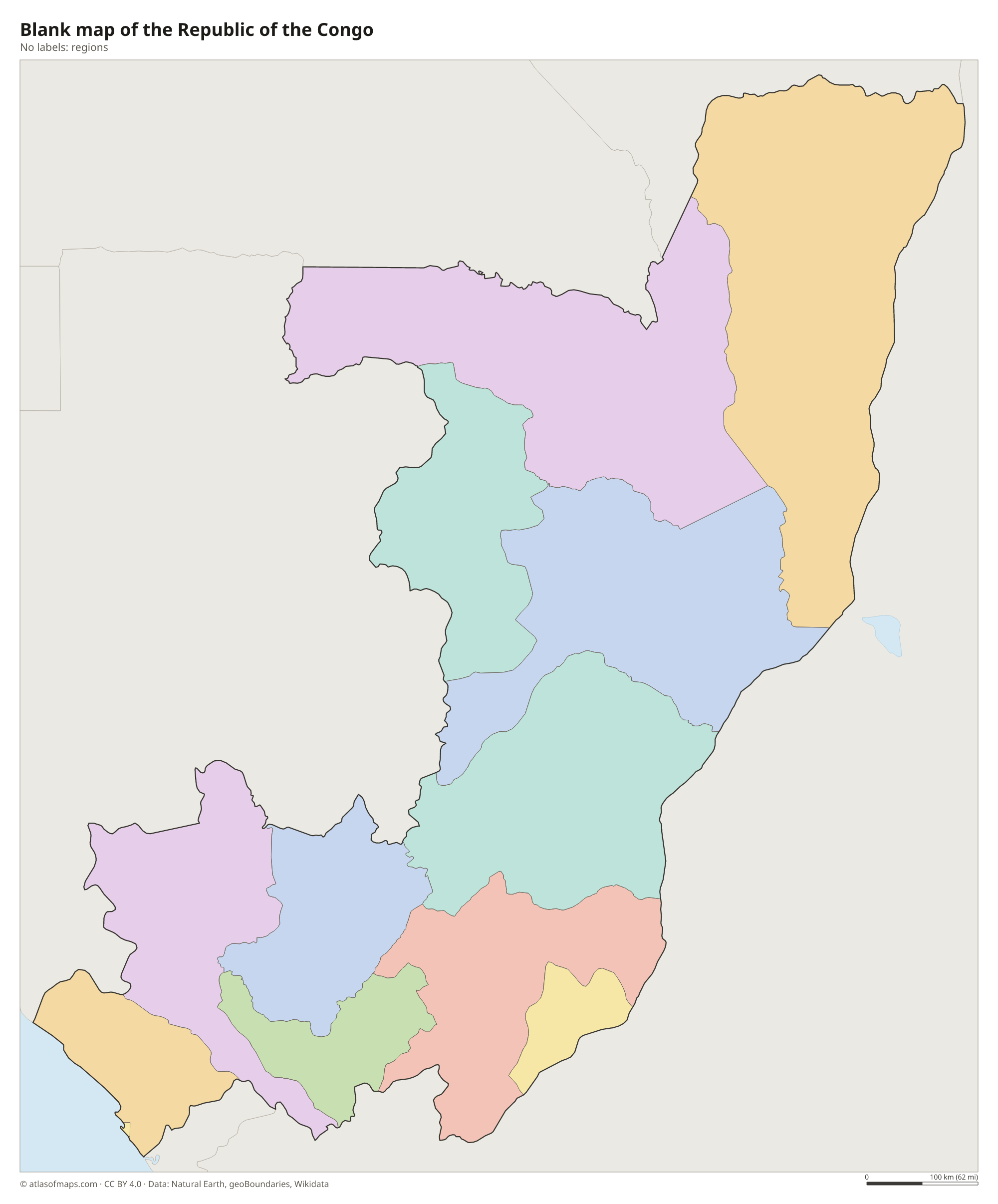
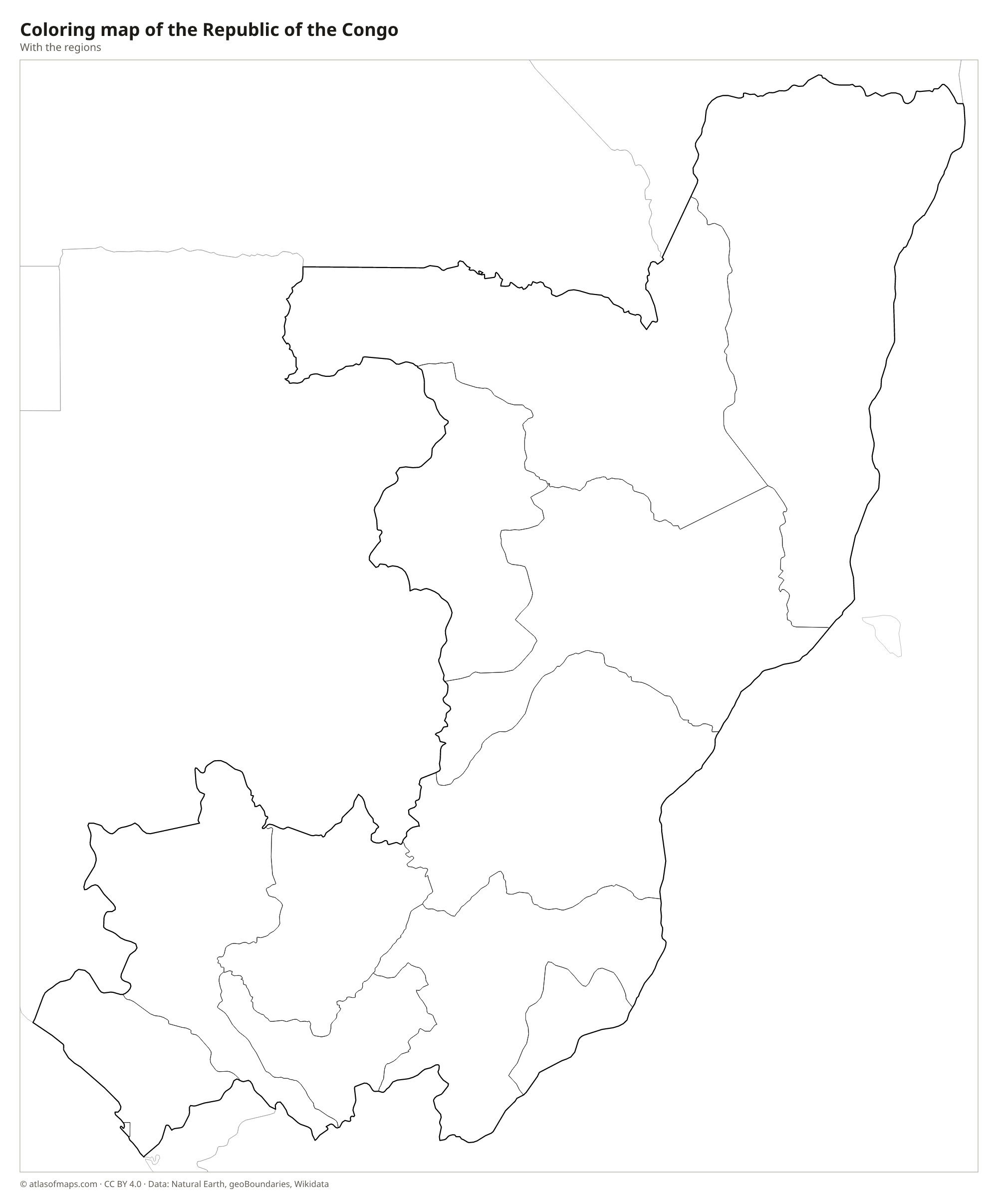
Blank and coloring maps of the Republic of the Congo
Blank map of the Republic of the Congo

Coloring map of the Republic of the Congo

Geography of the Republic of the Congo
Behind a narrow coastal plain rise the forested Mayombe hills, followed inland by the Niari Valley and the Batéké Plateaus, grassy uplands north of Brazzaville. The northern half of the country belongs to the vast Congo Basin: low, flat and covered by dense rainforest and swamp forest, much of it still largely untouched. The highest point, Mont Nabemba, at 1,020 m (3,346 ft), rises from the forest in the far northwest, near the borders with Cameroon and Gabon.
The Congo River and its tributary the Ubangi form most of the long eastern border with the Democratic Republic of the Congo. Other tributaries, such as the Sangha, drain the northern forests, while the Kouilou-Niari River flows west to the Atlantic. Brazzaville sits on the Congo River at Pool Malebo, directly across from Kinshasa. The climate is hot and humid, with heavy rain and, in the south, a cooler dry season from about June to September. National parks such as Nouabalé-Ndoki protect forest elephants, gorillas and chimpanzees.
Fun facts
- Brazzaville and Kinshasa face each other across the Congo River, the closest pair of national capitals in the world apart from Rome and Vatican City.
- The Congo River, which forms much of the country's eastern border, is the deepest river in the world.
- Pointe-Noire, on the Atlantic, is the country's second city and the base of its offshore oil industry.
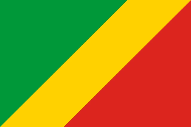
Flag of the Republic of the Congo
The flag of the Republic of the Congo is divided diagonally by a yellow band running from the lower hoist corner to the upper fly corner. The triangle above the band, at the hoist, is green, and the triangle below it, at the fly, is red. There is no emblem.
Flag of the Republic of the Congo: meaning, colors and download →
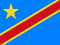
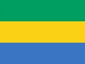
Countries bordering the Republic of the Congo
Frequently asked questions
What countries border the Republic of the Congo?
It borders five countries: Gabon to the west, Cameroon and the Central African Republic to the north, the Democratic Republic of the Congo to the east and south, and Angola's Cabinda exclave to the southwest.
What is the difference between the Republic of the Congo and the Democratic Republic of the Congo?
They are separate countries on opposite banks of the Congo River. The Republic of the Congo, with its capital at Brazzaville, is the smaller one; the much larger Democratic Republic of the Congo has its capital at Kinshasa.
What is the capital of the Republic of the Congo?
The capital and largest city is Brazzaville, on the north bank of the Congo River. The second city, Pointe-Noire, is the country's port on the Atlantic coast.
What language is spoken in the Republic of the Congo?
The official language is French.
Can I print the map of the Republic of the Congo?
Yes. Every map on this page can be downloaded for free as PNG or PDF (US Letter) and printed, including the blank map and the coloring map. Please credit the source (Atlas of Maps, CC BY 4.0).
Use this map
You can download, print and share this map for free, in class, in school projects, in presentations and on websites, as long as you credit the source: Map of the Republic of the Congo · Atlas of Maps (atlasofmaps.com), license CC BY 4.0.
See also: Map of Africa · World map