Map of Ghana with regions and capitals
Ghana is a country in West Africa on the Gulf of Guinea. It borders Ivory Coast to the west, Burkina Faso to the north and Togo to the east, and its southern coast faces the Atlantic Ocean. The political map shows its 16 regions, the capital, Accra, and major cities.

- Capital
- Accra
- Population
- 32.8 million (2021)
- Area
- 238,535 km² (92,099 sq mi)
- Population density
- 138 per km² (356 per sq mi)
- Official language
- English
- Currency
- Ghana cedi
- Demonym
- Ghanaian
- Regions
- 16
- Highest point
- Mount Afadja (885 m (2,904 ft))
- Calling code
- +233
- Internet domain
- .gh
Where is Ghana?
Ghana is a country in West Africa on the Gulf of Guinea. It borders Ivory Coast to the west, Burkina Faso to the north and Togo to the east, and its southern coast faces the Atlantic Ocean.
Neighboring countries: Burkina Faso, Ivory Coast, Togo.

Regions of Ghana
Ghana is divided into 16 regions, a number reached in 2018 when six new regions were created from older ones. Greater Accra, the smallest by area, contains the capital, Accra, while Savannah is the largest.
| Region | Area |
|---|---|
| Ahafo | 5,068 km² (1,957 sq mi) |
| Ashanti | 24,656 km² (9,520 sq mi) |
| Bono | 11,682 km² (4,510 sq mi) |
| Bono East | 23,245 km² (8,975 sq mi) |
| Central | 10,048 km² (3,880 sq mi) |
| Eastern | 18,760 km² (7,243 sq mi) |
| Greater Accra | 3,215 km² (1,241 sq mi) |
| North East | 9,092 km² (3,510 sq mi) |
| Northern | 24,345 km² (9,400 sq mi) |
| Oti | 10,729 km² (4,142 sq mi) |
| Savannah | 35,158 km² (13,575 sq mi) |
| Upper East | 8,559 km² (3,305 sq mi) |
| Upper West | 19,438 km² (7,505 sq mi) |
| Volta | 10,130 km² (3,911 sq mi) |
| Western | 13,867 km² (5,354 sq mi) |
| Western North | 10,304 km² (3,978 sq mi) |
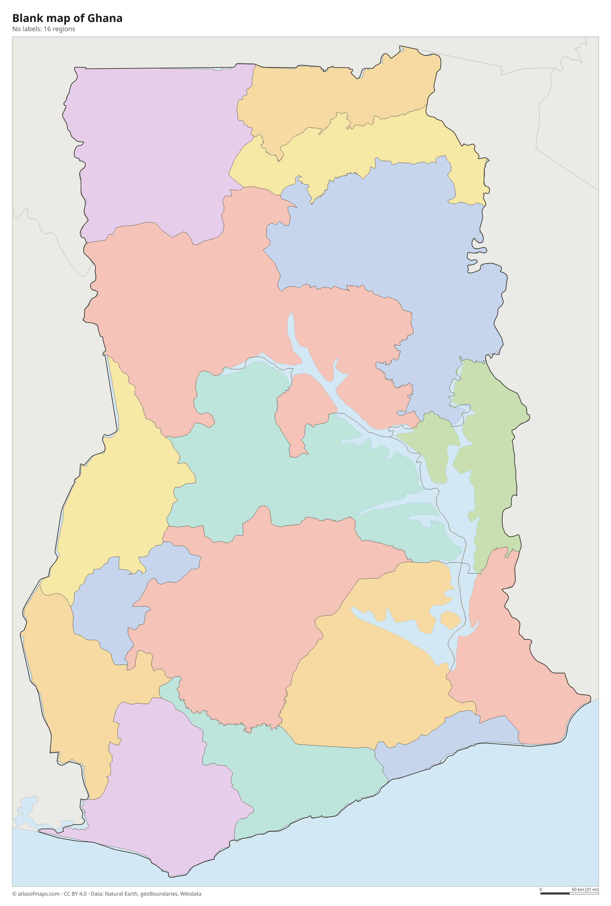
Blank and coloring maps of Ghana
Blank map of Ghana

Coloring map of Ghana

Geography of Ghana
Ghana covers 238,535 km² (92,099 sq mi), and most of it is low-lying. A belt of coastal plains and lagoons runs along the Gulf of Guinea, and inland lie forested hills and plateaus in the southwest, including the Ashanti region. The Akwapim-Togo Ranges run along the eastern side of the country toward Togo; here Mount Afadja, at 885 m (2,904 ft), is the highest point. The north is a wide savanna plain drained by the White Volta and Black Volta rivers, and the Kwahu Plateau separates the Volta Basin from the south.
In the east lies Lake Volta, created in 1965 by the Akosombo Dam on the Volta River and one of the largest artificial lakes in the world by surface area. It stretches far into the interior and supplies much of Ghana's electricity. The climate is tropical: the southwest is hot and humid with two rainy seasons, while the north has a single rainy season and a long dry season with the harmattan wind. The coast is lined with old European forts and castles from the trading era.
Fun facts
- The prime meridian (0° longitude) passes through Ghana near the port city of Tema.
- Cape Coast Castle and Elmina Castle are part of a UNESCO World Heritage Site that includes forts and castles along Ghana's coast.
Flag of Ghana
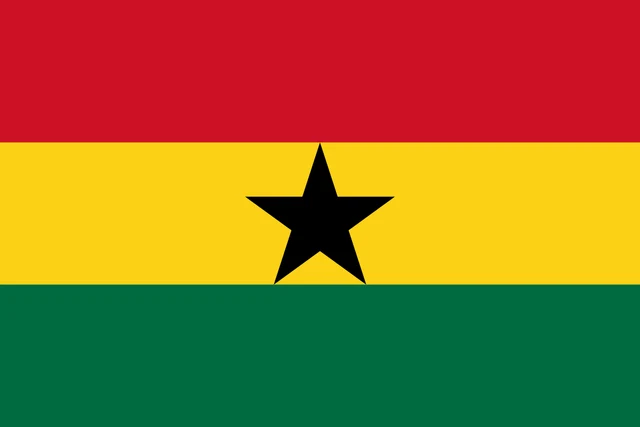
The flag of Ghana has three horizontal stripes of equal height: red on top, gold in the middle and green at the bottom. In the center of the gold stripe is a black five-pointed star. The design was the work of Theodosia Okoh, a Ghanaian teacher and artist.
Countries bordering Ghana
Frequently asked questions
What countries border Ghana?
Ghana borders three countries: Ivory Coast to the west, Burkina Faso to the north and Togo to the east. Its southern coast lies on the Gulf of Guinea.
How many regions does Ghana have?
Ghana has 16 regions. Six of them, including Savannah, Oti and Bono East, were created in 2018 by dividing older regions, and Greater Accra holds the capital.
What is the capital of Ghana?
The capital is Accra, on the Gulf of Guinea coast in the Greater Accra Region. Accra and Kumasi, in the Ashanti Region, are the two largest cities in the country.
What language is spoken in Ghana?
The official language is English.
Can I print the map of Ghana?
Yes. Every map on this page can be downloaded for free as PNG or PDF (US Letter) and printed, including the blank map and the coloring map. Please credit the source (Atlas of Maps, CC BY 4.0).
Use this map
You can download, print and share this map for free, in class, in school projects, in presentations and on websites, as long as you credit the source: Map of Ghana · Atlas of Maps (atlasofmaps.com), license CC BY 4.0.
See also: Map of Africa · World map