Map of Ivory Coast with districts and capitals
Ivory Coast, officially Côte d'Ivoire, is a country in West Africa on the Gulf of Guinea. It borders Liberia and Guinea to the west, Mali and Burkina Faso to the north and Ghana to the east, with the Atlantic Ocean along its southern coast. The political map shows its 14 districts, the capital, Yamoussoukro, and major cities.

- Capital
- Yamoussoukro
- Population
- 31.2 million (2023)
- Area
- 322,463 km² (124,504 sq mi)
- Population density
- 97 per km² (250 per sq mi)
- Official language
- French
- Currency
- West African CFA franc
- Demonym
- Ivorian
- Districts
- 14
- Highest point
- Mount Richard-Molard (1,752 m (5,748 ft))
- Calling code
- +225
- Internet domain
- .ci
- Official name
- Republic of Côte d’Ivoire
- Also known as
- Côte d'Ivoire
Where is Ivory Coast?
Ivory Coast, officially Côte d'Ivoire, is a country in West Africa on the Gulf of Guinea. It borders Liberia and Guinea to the west, Mali and Burkina Faso to the north and Ghana to the east, with the Atlantic Ocean along its southern coast.
Neighboring countries: Burkina Faso, Ghana, Guinea, Liberia, Mali.

Districts of Ivory Coast
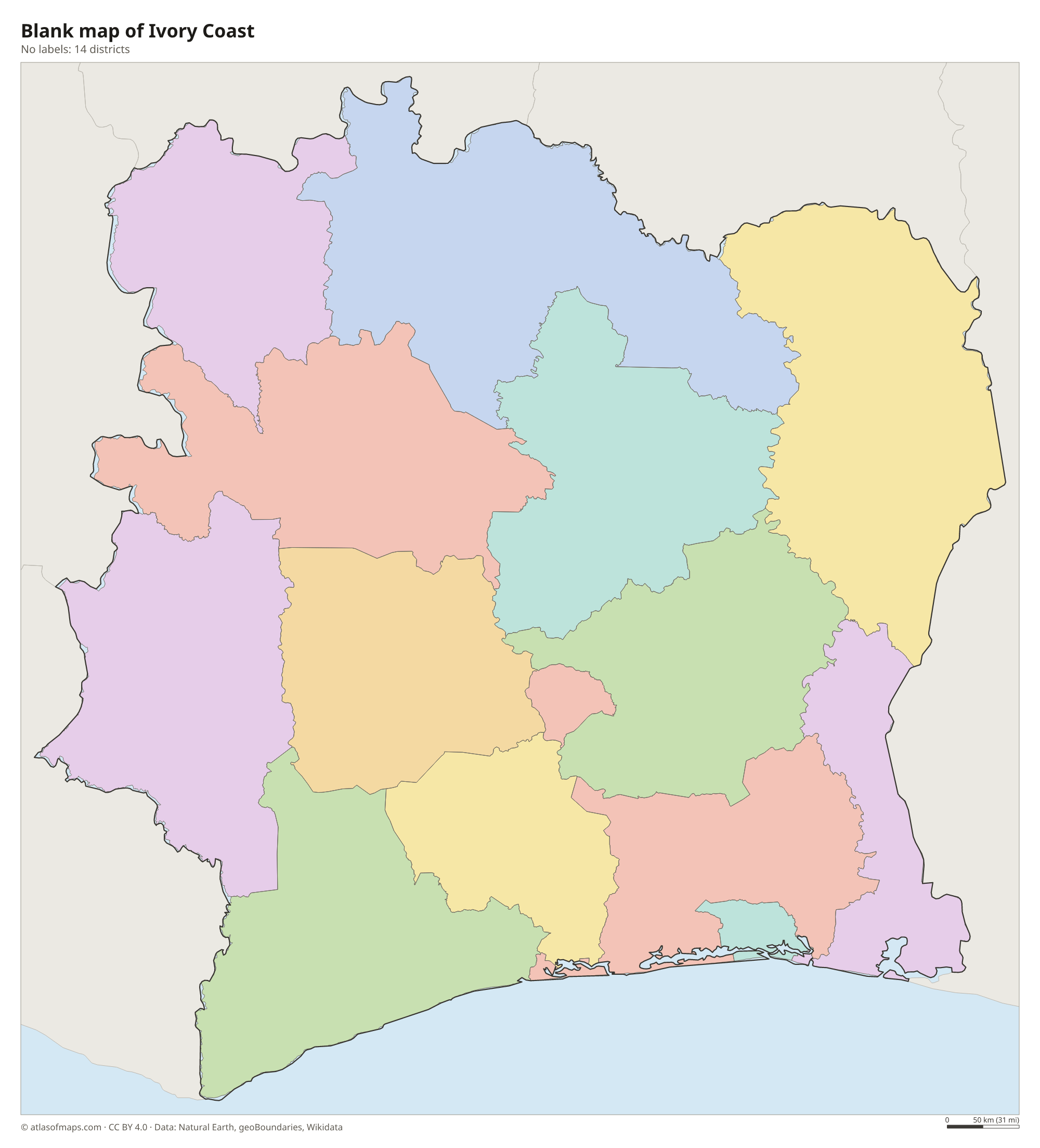
Ivory Coast is divided into 14 districts: 12 districts, such as Lagunes, Montagnes and Savanes, plus the autonomous districts of Abidjan, the economic center, and Yamoussoukro, the official capital. The districts are subdivided into regions.
| District | Area |
|---|---|
| Abidjan | 1,957 km² (756 sq mi) |
| Bas-Sassandra | 28,255 km² (10,909 sq mi) |
| Comoé | 13,258 km² (5,119 sq mi) |
| Denguélé | 20,692 km² (7,989 sq mi) |
| Gôh-Djiboua | 15,671 km² (6,051 sq mi) |
| Lacs | 26,175 km² (10,106 sq mi) |
| Lagunes | 20,196 km² (7,798 sq mi) |
| Montagnes | 30,651 km² (11,834 sq mi) |
| Sassandra-Marahoué | 23,979 km² (9,258 sq mi) |
| Savanes | 39,966 km² (15,431 sq mi) |
| Vallée du Bandama | 28,391 km² (10,962 sq mi) |
| Woroba | 31,027 km² (11,980 sq mi) |
| Yamoussoukro | 2,078 km² (802 sq mi) |
| Zanzan | 37,879 km² (14,625 sq mi) |
Blank and coloring maps of Ivory Coast
Blank map of Ivory Coast

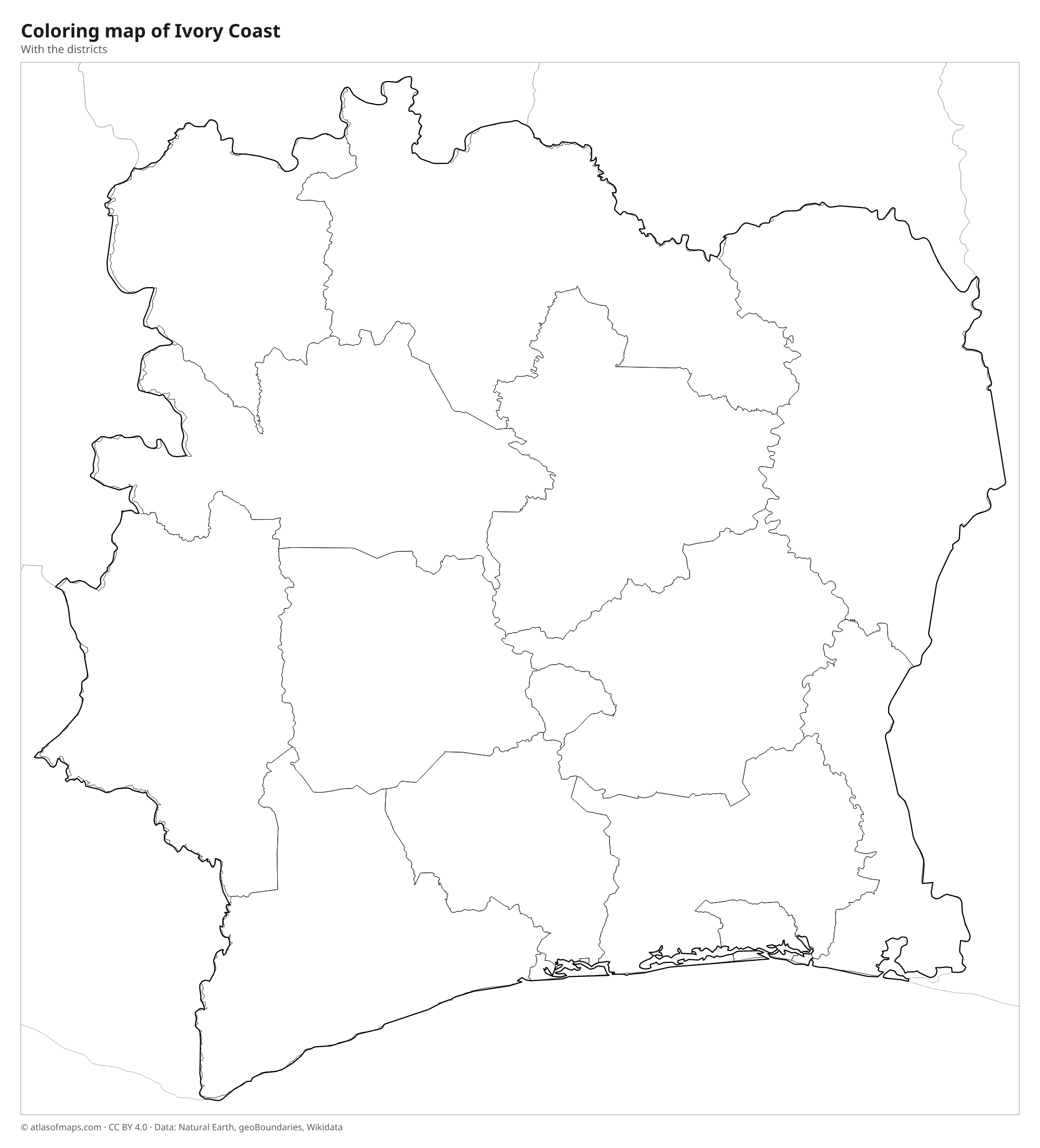
Coloring map of Ivory Coast

Geography of Ivory Coast
Ivory Coast covers 322,463 km² (124,504 sq mi) and is mostly a gently rolling plateau that rises slowly from the coast toward the north. The southeast coast is lined with long sandbars and lagoons, such as the Ébrié Lagoon at Abidjan, while the southwest coast is rockier. The only true mountains are in the west, around the town of Man, and on the border with Guinea, where Mount Richard-Molard in the Nimba range is the highest point at 1,752 m (5,748 ft).
Several rivers flow south to the Gulf of Guinea, including the Cavally on the Liberian border, the Sassandra, the Bandama, whose dam forms the large Lake Kossou, and the Comoé in the east. The south was once covered by tropical rainforest, and Taï National Park in the southwest protects one of the largest remaining areas of it in West Africa. Farther north, forest gives way to savanna. The south has a hot, humid climate with two rainy seasons, while the north has a single rainy season and a dry season with the harmattan wind.
Fun facts
- Ivory Coast is the world's largest producer of cocoa beans, the main ingredient of chocolate.
- The Basilica of Our Lady of Peace in Yamoussoukro is one of the largest churches in the world.
- The government asks that the country be called Côte d'Ivoire in all languages, though Ivory Coast is still common in English.
Flag of Ivory Coast
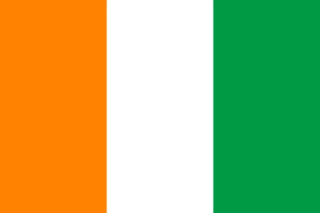
The flag of Ivory Coast has three equal vertical stripes: orange next to the pole, white in the middle and green on the far side. It has no emblem and a 2:3 ratio. It looks like a mirror image of the flag of Ireland, which has green at the pole and is longer.
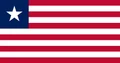
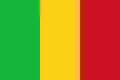
Countries bordering Ivory Coast
Frequently asked questions
What countries border Ivory Coast?
Ivory Coast borders five countries: Liberia and Guinea to the west, Mali and Burkina Faso to the north, and Ghana to the east.
How many districts does Ivory Coast have?
Ivory Coast has 14 districts: 12 ordinary districts and 2 autonomous districts, Abidjan and Yamoussoukro. The districts are divided into smaller regions and departments.
What is the capital of Ivory Coast?
Yamoussoukro is the official capital, chosen in 1983, but Abidjan, on the coast, is the largest city and the center of business and most government activity.
What language is spoken in Ivory Coast?
The official language is French.
Can I print the map of Ivory Coast?
Yes. Every map on this page can be downloaded for free as PNG or PDF (US Letter) and printed, including the blank map and the coloring map. Please credit the source (Atlas of Maps, CC BY 4.0).
Use this map
You can download, print and share this map for free, in class, in school projects, in presentations and on websites, as long as you credit the source: Map of Ivory Coast · Atlas of Maps (atlasofmaps.com), license CC BY 4.0.
See also: Map of Africa · World map