Map of Greece with regions and capitals
Greece is a country in southeastern Europe at the southern tip of the Balkan Peninsula. It borders Albania, North Macedonia, Bulgaria and Turkey, and its long coastline faces the Aegean Sea to the east, the Ionian Sea to the west and the Mediterranean Sea to the south. The political map shows its 14 regions, the capital, Athens, and major cities.

- Capital
- Athens
- Population
- 10.5 million (2021)
- Area
- 131,957 km² (50,949 sq mi)
- Population density
- 79 per km² (206 per sq mi)
- Official language
- Greek
- Currency
- euro
- Demonym
- Greek
- Regions
- 14
- Highest point
- Mount Olympus (2,918 m (9,573 ft))
- Calling code
- +30
- Internet domain
- .gr
- Official name
- Hellenic Republic
Where is Greece?
Greece is a country in southeastern Europe at the southern tip of the Balkan Peninsula. It borders Albania, North Macedonia, Bulgaria and Turkey, and its long coastline faces the Aegean Sea to the east, the Ionian Sea to the west and the Mediterranean Sea to the south.
Neighboring countries: Albania, Bulgaria, North Macedonia, Turkey.

Regions of Greece and their capitals
The map shows 14 regions: 13 administrative regions, such as Attica, Crete, Epirus and the South Aegean, plus Mount Athos, a self-governing community of Orthodox monasteries on a peninsula in the north. Athens, the capital, lies in Attica.
| Region | Capital | Population | Area |
|---|---|---|---|
| Attica | Athens | 3,814,064 | 3,808 km² (1,470 sq mi) |
| Central Greece | Lamia | 508,254 | 15,549 km² (6,004 sq mi) |
| Centre Macedonia | Thessaloniki | 1,795,669 | 18,811 km² (7,263 sq mi) |
| Crete | Heraklion | 623,065 | 8,336 km² (3,219 sq mi) |
| East Macedonia and Thrace | Komotini | 562,201 | 14,158 km² (5,466 sq mi) |
| Epirus | Ioannina | 319,991 | 9,203 km² (3,553 sq mi) |
| Ionian Islands | Corfu | 204,532 | 2,307 km² (891 sq mi) |
| Mount Athos | — | — | 330 km² (127 sq mi) |
| North Aegean | Mytilene | 194,943 | 3,836 km² (1,481 sq mi) |
| Peloponnese | Tripoli | 539,535 | 15,490 km² (5,981 sq mi) |
| South Aegean | Ermoupolis | 327,820 | 5,286 km² (2,041 sq mi) |
| Thessalia | — | 722,065 | 14,037 km² (5,420 sq mi) |
| West Greece | Patras | 648,220 | 11,350 km² (4,382 sq mi) |
| West Macedonia | Kozani | 254,595 | 9,451 km² (3,649 sq mi) |
Population from Wikidata (latest figure available for each region).
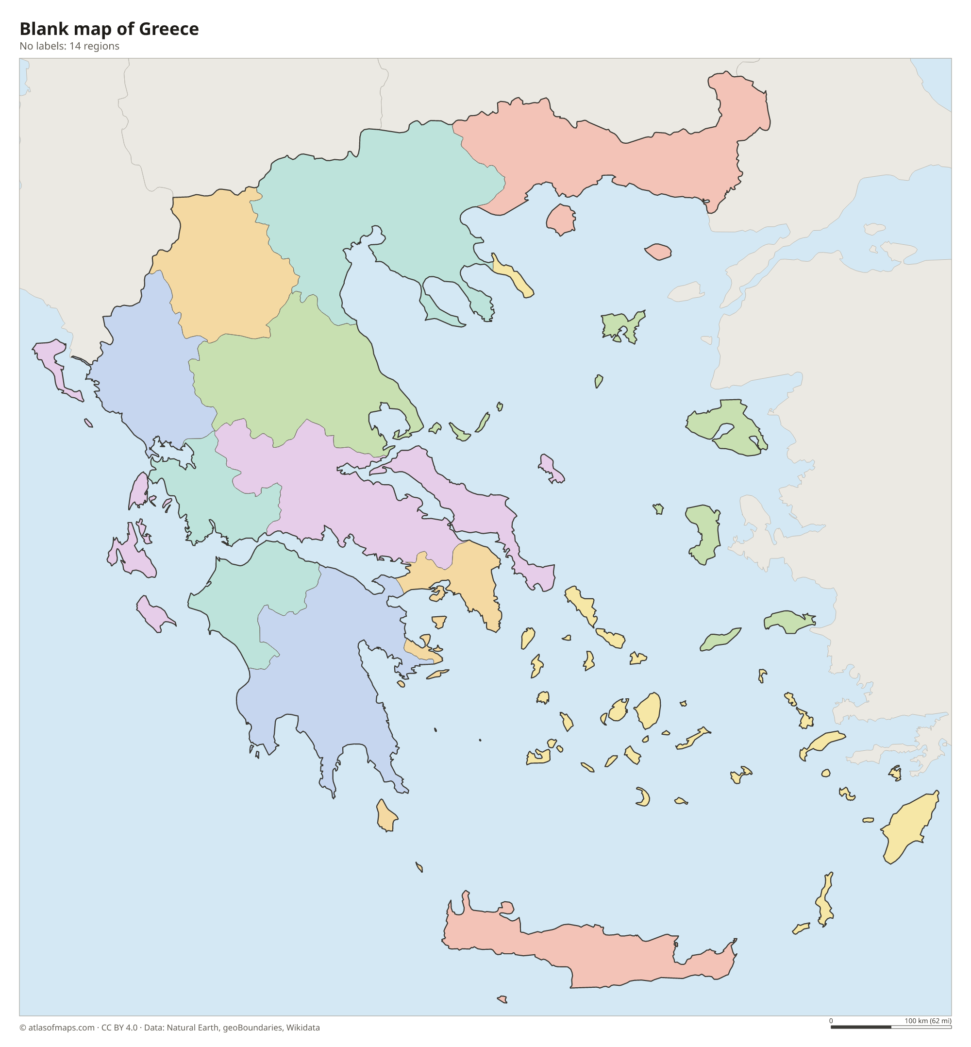
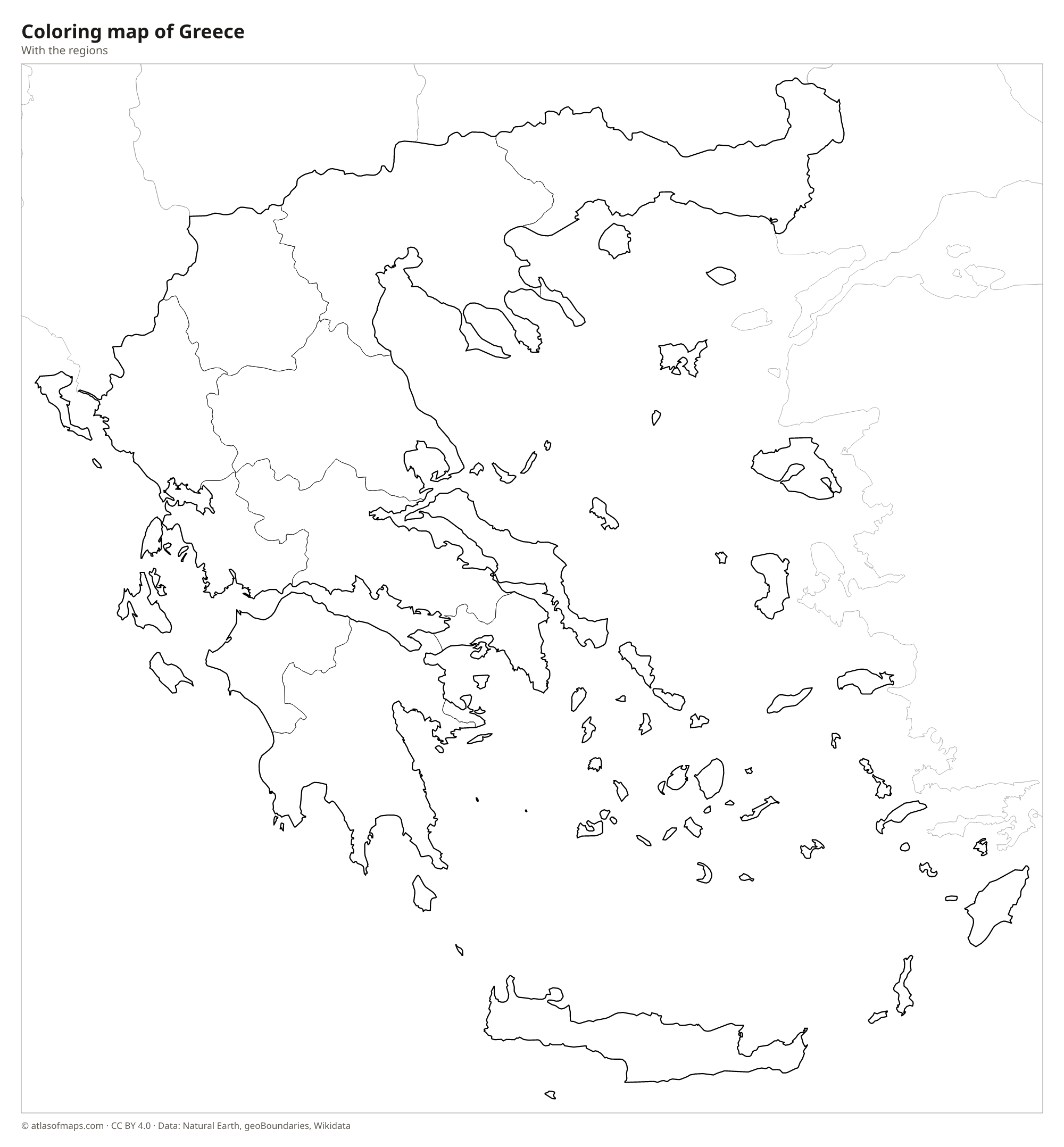
Blank and coloring maps of Greece
Blank map of Greece

Coloring map of Greece

Geography of Greece
Mainland Greece is rugged and mostly mountainous. The Pindus range runs down the middle of the country like a spine, and Mount Olympus, the highest point at 2,918 m (9,573 ft), rises near the Aegean coast between Thessaly and Macedonia. In the south, the Peloponnese peninsula hangs from the mainland by the narrow Isthmus of Corinth, which was cut by a shipping canal in 1893. Greece also has thousands of islands, from Crete, the largest, to the Cyclades, the Dodecanese and the Ionian Islands such as Corfu. In total the country covers 131,957 km² (50,949 sq mi).
Greek rivers are short, because the mountains rise close to the sea. The Aliakmonas is the longest river flowing entirely within Greece, while the Evros marks most of the border with Turkey in the northeast. The plain of Thessaly is one of the largest lowlands and an important farming area. The coastline is deeply cut by gulfs and bays, so few places in Greece are far from the sea. Most of the country has a Mediterranean climate with hot, dry summers and mild, wet winters, while the northern mountains have cold winters and regular snow.
Fun facts
- Crete is the largest Greek island and the fifth-largest island in the Mediterranean Sea.
- In Greek mythology, Mount Olympus was the home of the twelve Olympian gods led by Zeus.
- Mount Athos is closed to women, and male visitors need a special permit to enter the monastic community.
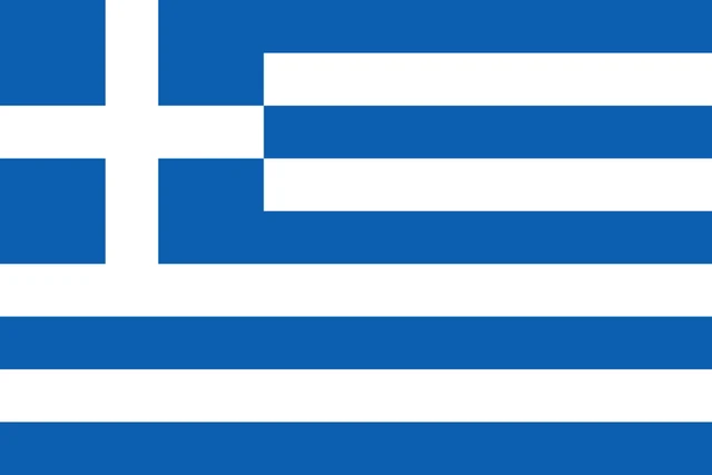
Flag of Greece
The flag of Greece has nine equal horizontal stripes that alternate blue and white, starting and ending with blue. In the upper corner next to the pole sits a blue square with a white cross that reaches its edges. The square is as tall as the top five stripes, and the flag has a 2:3 ratio.
Countries bordering Greece
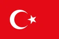
Frequently asked questions
What countries border Greece?
Greece has land borders with four countries: Albania to the northwest, North Macedonia and Bulgaria to the north, and Turkey to the northeast. Turkey also lies just across the Aegean Sea from many Greek islands.
How many regions does Greece have?
The map shows 14 regions: 13 administrative regions, including Attica around Athens, Central Macedonia around Thessaloniki and the island of Crete, plus the autonomous monastic community of Mount Athos.
How many islands does Greece have?
Greece has thousands of islands and islets, but only a small share of them are inhabited. The best-known groups are the Cyclades, the Dodecanese, the Ionian Islands and the North Aegean Islands, plus Crete.
What is the capital of Greece?
The capital of Greece is Athens.
What language is spoken in Greece?
The official language is Greek.
Can I print the map of Greece?
Yes. Every map on this page can be downloaded for free as PNG or PDF (US Letter) and printed, including the blank map and the coloring map. Please credit the source (Atlas of Maps, CC BY 4.0).
Use this map
You can download, print and share this map for free, in class, in school projects, in presentations and on websites, as long as you credit the source: Map of Greece · Atlas of Maps (atlasofmaps.com), license CC BY 4.0.
See also: Map of Europe · Map of the European Union · World map