Map of North Macedonia
North Macedonia is a small landlocked country in Southeast Europe, in the middle of the Balkan Peninsula. It borders Serbia and Kosovo to the north, Bulgaria to the east, Greece to the south and Albania to the west.

- Capital
- Skopje
- Population
- 1.8 million (2021)
- Area
- 25,713 km² (9,928 sq mi)
- Population density
- 71 per km² (185 per sq mi)
- Official languages
- Macedonian and Albanian
- Currency
- Macedonian denar
- Demonym
- Macedonian
- Highest point
- Korab (2,764 m (9,068 ft))
- Calling code
- +389
- Internet domain
- .mk
- Also known as
- Macedonia
Where is North Macedonia?
North Macedonia is a small landlocked country in Southeast Europe, in the middle of the Balkan Peninsula. It borders Serbia and Kosovo to the north, Bulgaria to the east, Greece to the south and Albania to the west.
Neighboring countries: Albania, Bulgaria, Greece, Kosovo, Serbia.

Blank and coloring maps of North Macedonia
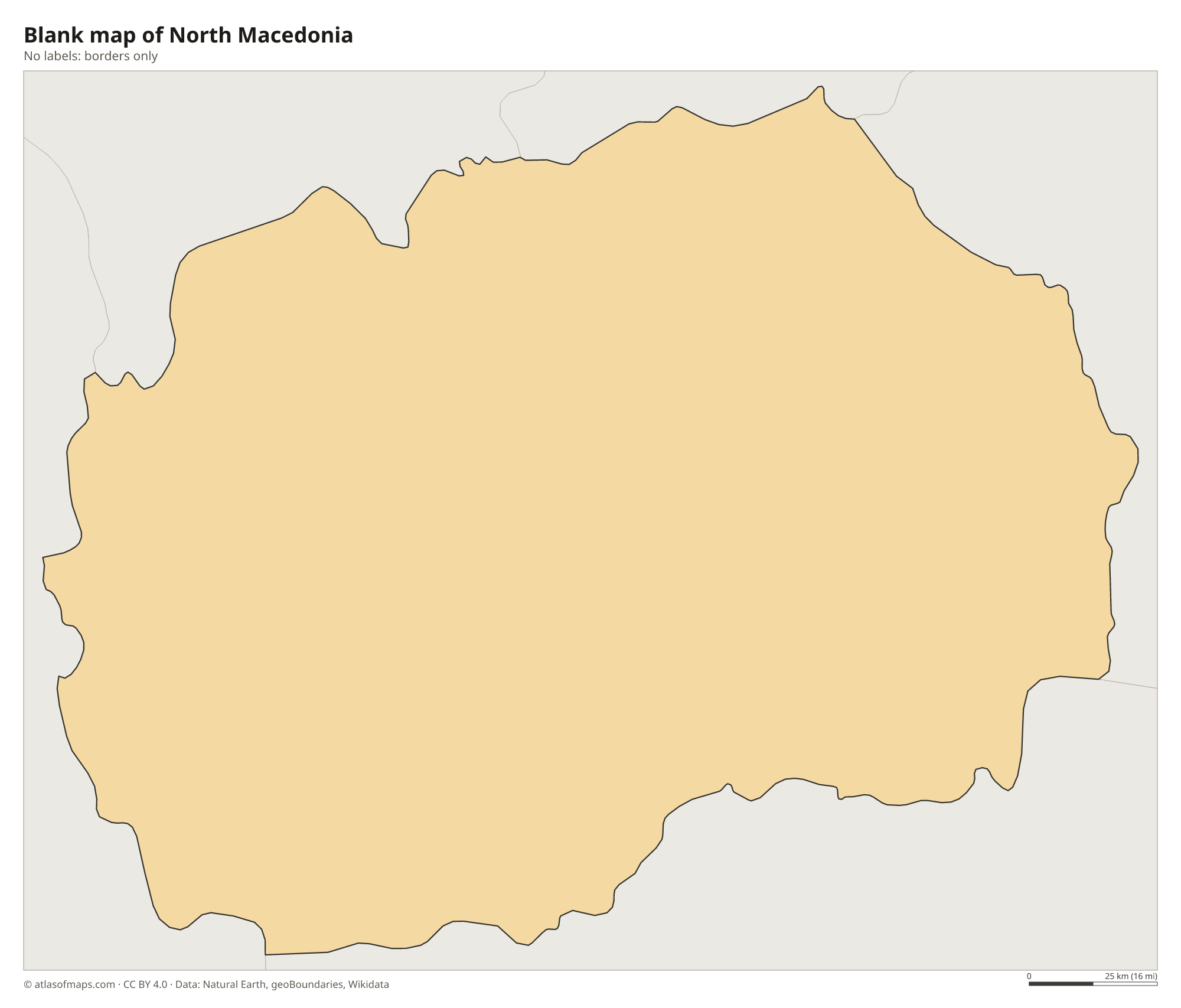
Blank map of North Macedonia

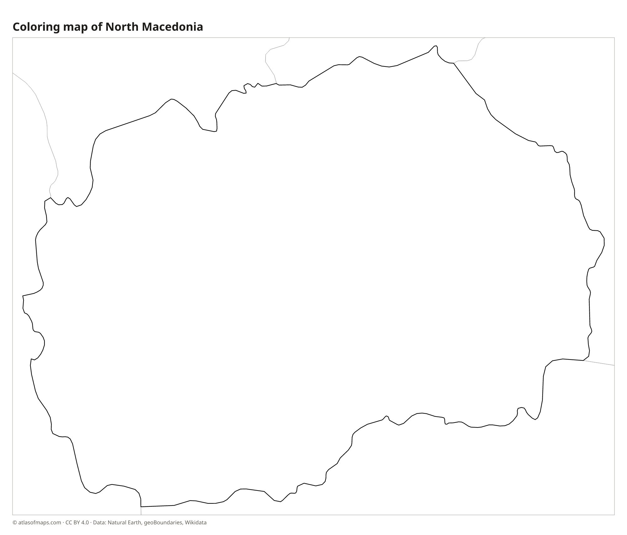
Coloring map of North Macedonia

Geography of North Macedonia
North Macedonia covers 25,713 km² (9,928 sq mi), and most of it is mountainous. Ranges such as the Šar Mountains in the northwest, Baba with Mount Pelister in the southwest and Osogovo in the east surround a series of basins and valleys. The highest point, Korab, reaches 2,764 m (9,068 ft) on the border with Albania. The main lowland is the valley of the Vardar River, which crosses the country from northwest to southeast.
The Vardar flows through Skopje and on into Greece, where it is called the Axios, and reaches the Aegean Sea. In the southwest, Lake Ohrid, shared with Albania, is one of the oldest and deepest lakes in Europe, and Lake Prespa, higher up, is shared with Albania and Greece. The climate is mixed: warm, dry summers and cold winters inland, with a Mediterranean influence in the southern Vardar valley, where vineyards grow.
Fun facts
- The country changed its name from Macedonia to North Macedonia in 2019, after an agreement with Greece.
- Lake Ohrid and the old town of Ohrid on its shore are a UNESCO World Heritage Site.
- Matka Canyon, just outside Skopje, has a reservoir, caves and medieval monasteries.
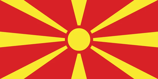
Flag of North Macedonia
The flag of North Macedonia is red with a yellow sun in the center. Eight broad yellow rays spread out from the sun to the edges and corners of the flag, widening as they go. The flag has a 1:2 ratio and no other symbols or lettering.
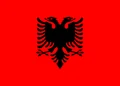
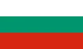
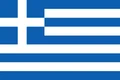
Countries bordering North Macedonia
Frequently asked questions
What countries border North Macedonia?
North Macedonia borders five countries: Serbia and Kosovo to the north, Bulgaria to the east, Greece to the south and Albania to the west. Serbia does not recognize Kosovo's independence.
Why did Macedonia change its name?
In 2019, the country adopted the name North Macedonia under the Prespa Agreement with Greece, which has its own region called Macedonia. The deal ended a long dispute between the two neighbors.
What is the capital of North Macedonia?
Skopje is the capital and largest city. It lies on the Vardar River in the north of the country, below Mount Vodno.
What language is spoken in North Macedonia?
The official languages are Macedonian and Albanian.
Can I print the map of North Macedonia?
Yes. Every map on this page can be downloaded for free as PNG or PDF (US Letter) and printed, including the blank map and the coloring map. Please credit the source (Atlas of Maps, CC BY 4.0).
Use this map
You can download, print and share this map for free, in class, in school projects, in presentations and on websites, as long as you credit the source: Map of North Macedonia · Atlas of Maps (atlasofmaps.com), license CC BY 4.0.
See also: Map of Europe · World map