Map of Bulgaria with regions and capitals
Bulgaria is a country in Southeast Europe, in the eastern Balkans, with a coast on the Black Sea. It borders Romania to the north, Serbia and North Macedonia to the west, and Greece and Turkey to the south. The political map shows its 28 regions, the capital, Sofia, and major cities.

- Capital
- Sofia
- Population
- 6.4 million (2025)
- Area
- 110,994 km² (42,855 sq mi)
- Population density
- 58 per km² (150 per sq mi)
- Official language
- Bulgarian
- Currency
- euro
- Demonym
- Bulgarian
- Regions
- 28
- Highest point
- Musala (2,925 m (9,596 ft))
- Calling code
- +359
- Internet domain
- .bg
- Official name
- Republic of Bulgaria
Where is Bulgaria?
Bulgaria is a country in Southeast Europe, in the eastern Balkans, with a coast on the Black Sea. It borders Romania to the north, Serbia and North Macedonia to the west, and Greece and Turkey to the south.
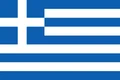
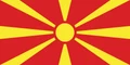
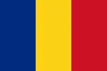
Neighboring countries: Greece, North Macedonia, Romania, Serbia, Turkey.

Regions of Bulgaria and their capitals
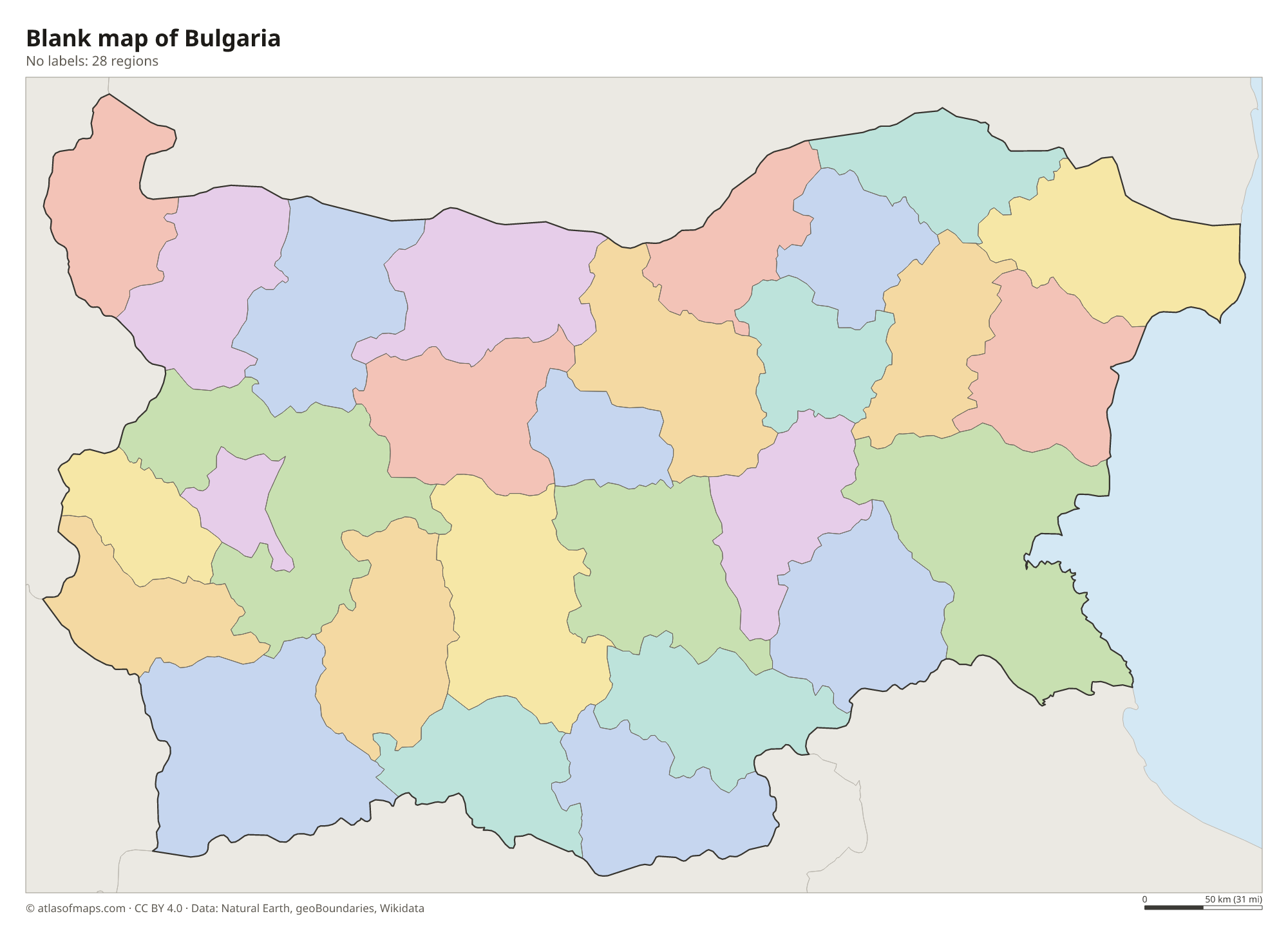
Bulgaria is divided into 28 provinces (oblasti), each named after its main city. The capital is split between two of them: Sofia City Province covers the city itself, and Sofia Province surrounds it.
| Region | Capital | Population | Area |
|---|---|---|---|
| Blagoevgrad | Blagoevgrad | 285,644 | 6,449 km² (2,490 sq mi) |
| Burgas | Burgas | 388,919 | 7,748 km² (2,992 sq mi) |
| Dobrich | Dobrich | 143,858 | 4,720 km² (1,822 sq mi) |
| Gabrovo | Gabrovo | 92,722 | 2,023 km² (781 sq mi) |
| Grad Sofiya | Sofia | 1,303,813 | 1,349 km² (521 sq mi) |
| Haskovo | Haskovo | 205,702 | 5,543 km² (2,140 sq mi) |
| Kardzhali | Kardzhali | 152,028 | 3,216 km² (1,242 sq mi) |
| Kyustendil | Kyustendil | 104,740 | 3,084 km² (1,191 sq mi) |
| Lovech | Lovech | 109,446 | 4,132 km² (1,595 sq mi) |
| Montana | Montana | 110,970 | 3,635 km² (1,403 sq mi) |
| Pazardzhik | Pazardzhik | 221,176 | 4,459 km² (1,722 sq mi) |
| Pernik | Pernik | 108,871 | 2,392 km² (924 sq mi) |
| Pleven | Pleven | 212,890 | 4,337 km² (1,675 sq mi) |
| Plovdiv | Plovdiv | 638,290 | 5,973 km² (2,306 sq mi) |
| Razgrad | Razgrad | 98,083 | 2,637 km² (1,018 sq mi) |
| Ruse | Ruse | 184,251 | 2,791 km² (1,078 sq mi) |
| Shumen | Shumen | 148,601 | 3,390 km² (1,309 sq mi) |
| Silistra | Silistra | 92,365 | 2,846 km² (1,099 sq mi) |
| Sliven | Sliven | 168,267 | 3,544 km² (1,368 sq mi) |
| Smolyan | Smolyan | 88,816 | 3,193 km² (1,233 sq mi) |
| Sofia | Sofia | 222,946 | 7,059 km² (2,725 sq mi) |
| Stara Zagora | Stara Zagora | 286,722 | 5,152 km² (1,989 sq mi) |
| Targovishte | Targovishte | 93,633 | 2,559 km² (988 sq mi) |
| Varna | Varna | 440,532 | 3,818 km² (1,474 sq mi) |
| Veliko Tarnovo | Veliko Tarnovo | 198,803 | 4,662 km² (1,800 sq mi) |
| Vidin | Vidin | 69,465 | 3,033 km² (1,171 sq mi) |
| Vratsa | Vratsa | 144,502 | 3,620 km² (1,398 sq mi) |
| Yambol | Yambol | 104,571 | 3,336 km² (1,288 sq mi) |
Population from Wikidata (latest figure available for each region).
Blank and coloring maps of Bulgaria
Blank map of Bulgaria

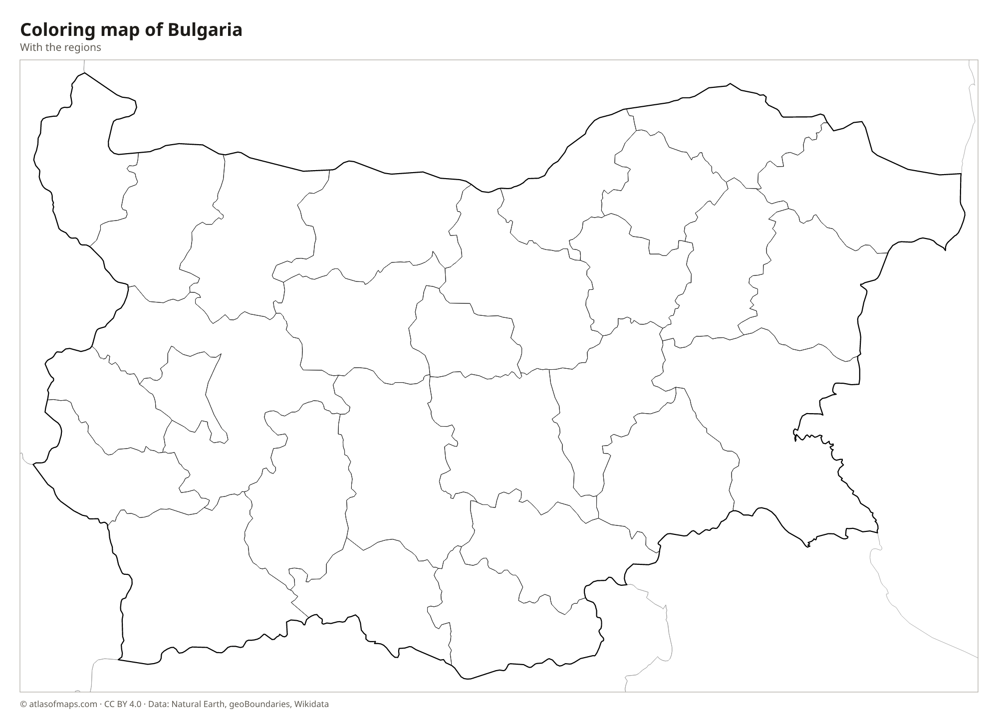
Coloring map of Bulgaria

Geography of Bulgaria
Bulgaria covers 110,994 km² (42,855 sq mi). The Balkan Mountains (Stara Planina) cross the country from west to east, separating the Danubian Plain in the north from the Upper Thracian Plain in the south. The southwest holds Bulgaria's highest ranges, Rila and Pirin, and the Rhodopes stretch along the border with Greece. Musala, in the Rila Mountains, reaches 2,925 m (9,596 ft) and is the highest point in Bulgaria and in the whole Balkan Peninsula.
The Danube forms most of the northern border with Romania. The Maritsa drains the Thracian Plain and flows on toward Greece and Turkey, and the Iskar rises in Rila and cuts a gorge through the Balkan Mountains to the Danube. The Rila Mountains hold many glacial lakes, including the Seven Rila Lakes. The Black Sea coast, with the port cities of Varna and Burgas, has long sandy beaches. The climate is temperate continental, with cold winters and hot summers, and milder conditions in the south. About 6.4 million people (2025) live in Bulgaria.
Fun facts
- Musala is the highest peak in the Balkan Peninsula, slightly higher than Mount Olympus in Greece.
- The Rose Valley, between the Balkan Mountains and the Sredna Gora, produces a large share of the world's rose oil used in perfumes.
- The Danube bridges at Ruse and Vidin link Bulgaria with Romania across the river.
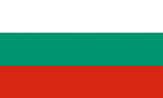
Flag of Bulgaria
The flag of Bulgaria has three equal horizontal bands: white at the top, green in the middle and red at the bottom. It carries no coat of arms, emblem or text, and it is five units wide for every three units of height.
Countries bordering Bulgaria
Frequently asked questions
What countries border Bulgaria?
Bulgaria borders five countries: Romania to the north, Serbia and North Macedonia to the west, and Greece and Turkey to the south. The Black Sea lies to the east.
How many provinces does Bulgaria have?
Bulgaria has 28 provinces, including Sofia City Province, which covers the capital, and the separate Sofia Province around it. Other large provinces include Plovdiv, Varna and Burgas.
What sea is Bulgaria on?
Bulgaria lies on the Black Sea. Its coast runs from the Romanian border in the north to the Turkish border in the south, with Varna and Burgas as the main port cities.
What is the capital of Bulgaria?
The capital of Bulgaria is Sofia.
What language is spoken in Bulgaria?
The official language is Bulgarian.
Can I print the map of Bulgaria?
Yes. Every map on this page can be downloaded for free as PNG or PDF (US Letter) and printed, including the blank map and the coloring map. Please credit the source (Atlas of Maps, CC BY 4.0).
Use this map
You can download, print and share this map for free, in class, in school projects, in presentations and on websites, as long as you credit the source: Map of Bulgaria · Atlas of Maps (atlasofmaps.com), license CC BY 4.0.
See also: Map of Europe · Map of the European Union · World map