Map of Albania with regions and capitals
Albania is a country in Southeast Europe, on the western side of the Balkan Peninsula. It borders Montenegro to the northwest, Kosovo to the northeast, North Macedonia to the east and Greece to the south, and has a long coast on the Adriatic and Ionian Seas. The political map shows its 12 regions, the capital, Tirana, and major cities.

- Capital
- Tirana
- Population
- 2.8 million (2023)
- Area
- 28,748 km² (11,100 sq mi)
- Population density
- 98 per km² (253 per sq mi)
- Official language
- Albanian
- Currency
- Albanian lek
- Demonym
- Albanian
- Regions
- 12
- Highest point
- Korab (2,764 m (9,068 ft))
- Calling code
- +355
- Internet domain
- .al
- Official name
- Republic of Albania
Where is Albania?
Albania is a country in Southeast Europe, on the western side of the Balkan Peninsula. It borders Montenegro to the northwest, Kosovo to the northeast, North Macedonia to the east and Greece to the south, and has a long coast on the Adriatic and Ionian Seas.
Neighboring countries: Greece, Kosovo, North Macedonia, Montenegro.

Regions of Albania and their capitals
Albania is divided into 12 counties (qarqe), often called regions, each named after its main town, from Shkodër in the north to Gjirokastër in the south. Tirana County contains the capital, Tirana, the country's largest city. Albania had about 2.8 million people in 2023.
| Region | Capital | Population | Area |
|---|---|---|---|
| Berat | Berat | 115,050 | 1,798 km² (694 sq mi) |
| Dibër | Peshkopi | 109,585 | 2,586 km² (998 sq mi) |
| Durrës | Durrës | 291,325 | 766 km² (296 sq mi) |
| Elbasan | Elbasan | 259,112 | 872 km² (337 sq mi) |
| Fier | Fier | 278,413 | 1,890 km² (730 sq mi) |
| Gjirokastër | Gjirokastër | 55,278 | 2,884 km² (1,114 sq mi) |
| Korçë | Korçë | 197,303 | 3,711 km² (1,433 sq mi) |
| Kukës | Kukës | 72,768 | 2,374 km² (917 sq mi) |
| Lezhë | Lezhë | 117,283 | 1,620 km² (625 sq mi) |
| Shkodër | Shkodër | 193,009 | 3,562 km² (1,375 sq mi) |
| Tirana | Tirana | 919,511 | 1,652 km² (638 sq mi) |
| Vlorë | Vlorë | 184,955 | 2,706 km² (1,045 sq mi) |
Population from Wikidata (latest figure available for each region).
Blank and coloring maps of Albania
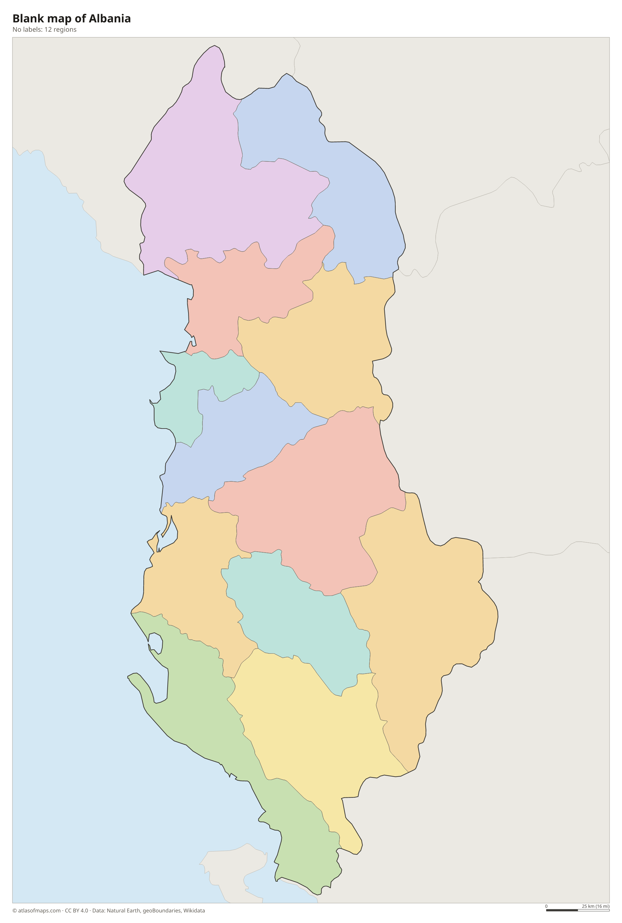
Blank map of Albania

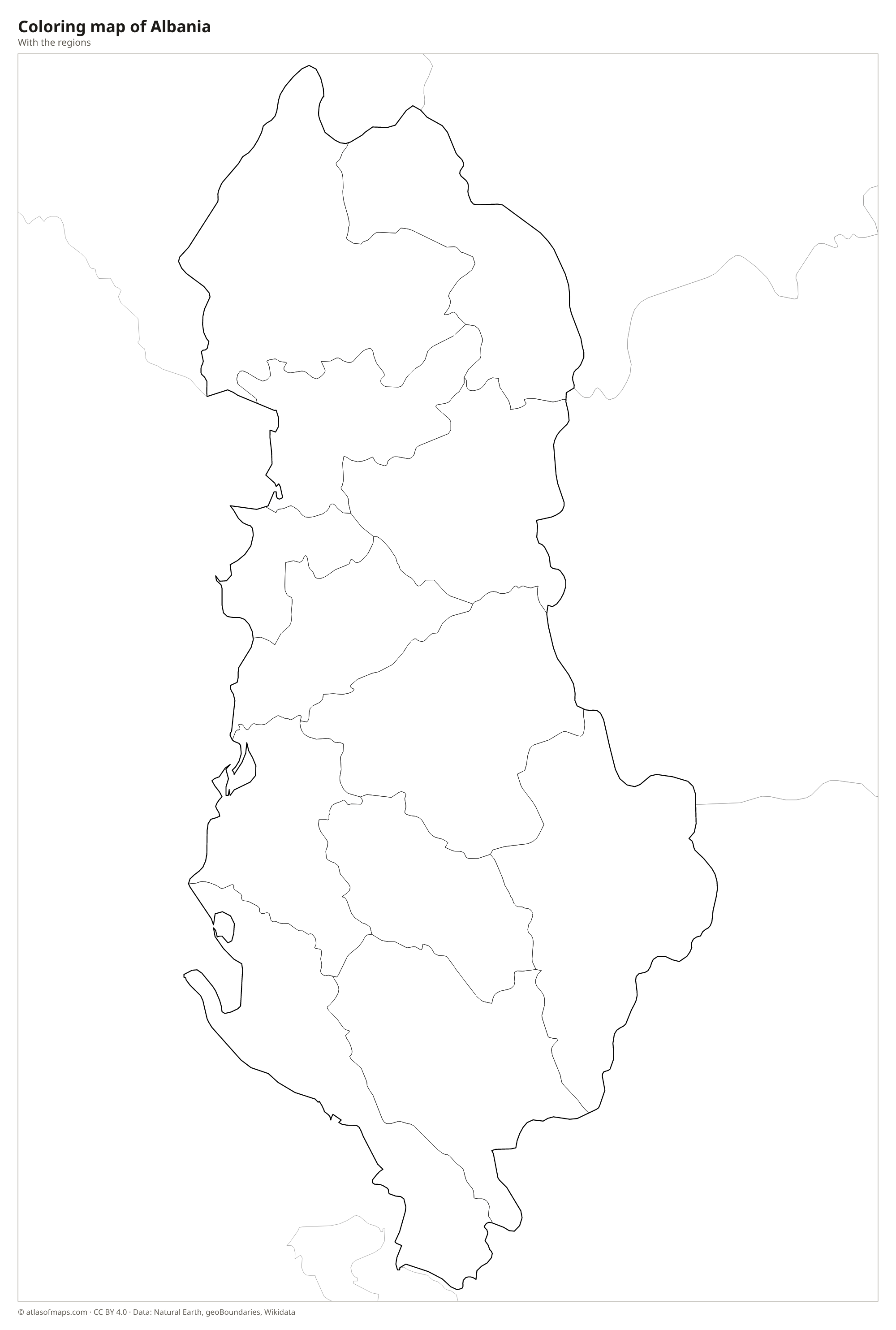
Coloring map of Albania

Geography of Albania
Albania covers 28,748 km² (11,100 sq mi), and most of it is hills and mountains. The Albanian Alps, also called the Accursed Mountains, rise in the north along the borders with Montenegro and Kosovo. Farther east, Korab reaches 2,764 m (9,068 ft) on the border with North Macedonia and is the highest point. The center and south are crossed by parallel ridges and deep valleys, while a strip of lowland plains runs along the Adriatic coast around Durrës and Fier.
The Drin, the longest river, is formed by the Black Drin, which flows out of Lake Ohrid, and the White Drin from Kosovo, and reaches the Adriatic near Lezhë. Other rivers, such as the Vjosë, Seman and Shkumbin, cross the country from the mountains to the sea. Albania shares three large lakes with its neighbors: Shkodër with Montenegro, and Ohrid and Prespa with North Macedonia (Prespa also touches Greece). The coast has a Mediterranean climate with hot, dry summers, while the mountains get cold, snowy winters. South of Vlorë, the Albanian Riviera faces the Ionian Sea.
Fun facts
- Lake Ohrid, shared with North Macedonia, is one of the oldest lakes in Europe and is protected as a UNESCO World Heritage Site.
- Albania's coast looks onto two seas: the Adriatic in the north and the Ionian Sea in the south, which meet near the Bay of Vlorë.
- At the Strait of Otranto, less than 100 km (62 mi) of sea separates Albania from the heel of Italy.
Flag of Albania
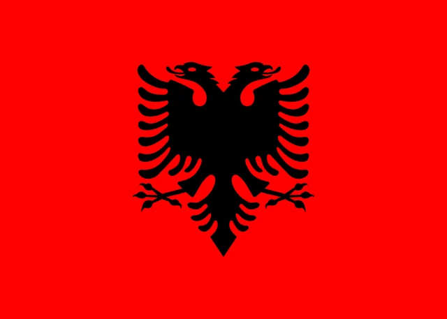
The flag of Albania shows a black double-headed eagle with spread wings on a plain red field. The eagle sits in the center, its two heads turned outward to the left and right. It is the only emblem on the flag: there is no star, text or border, so the red and black design is simple and bold.
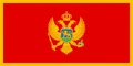
Countries bordering Albania
Frequently asked questions
What countries border Albania?
Albania borders four countries: Montenegro, Kosovo, North Macedonia and Greece. Kosovo declared independence from Serbia in 2008, which Serbia and some other countries do not recognize.
How many regions does Albania have?
Albania has 12 regions, officially called counties (qarqe). Each is named after its main town, for example Tirana, Durrës, Shkodër, Vlorë and Korçë.
What sea is Albania on?
Albania lies on two arms of the Mediterranean: the Adriatic Sea along its northern and central coast, and the Ionian Sea in the south, where the Albanian Riviera is.
What is the capital of Albania?
The capital of Albania is Tirana.
What language is spoken in Albania?
The official language is Albanian.
Can I print the map of Albania?
Yes. Every map on this page can be downloaded for free as PNG or PDF (US Letter) and printed, including the blank map and the coloring map. Please credit the source (Atlas of Maps, CC BY 4.0).
Use this map
You can download, print and share this map for free, in class, in school projects, in presentations and on websites, as long as you credit the source: Map of Albania · Atlas of Maps (atlasofmaps.com), license CC BY 4.0.
See also: Map of Europe · World map