Map of Haiti with regions and capitals
Haiti is a Caribbean country that occupies the western third of the island of Hispaniola, which it shares with the Dominican Republic to the east. The Atlantic Ocean lies to the north, the Caribbean Sea to the south, and Cuba sits across the Windward Passage. The political map shows its 10 regions, the capital, Port-au-Prince, and major cities.

- Capital
- Port-au-Prince
- Population
- 11 million (2017)
- Area
- 27,750 km² (10,714 sq mi)
- Population density
- 396 per km² (1,025 per sq mi)
- Official languages
- French and Haitian Creole
- Currency
- gourde
- Demonym
- Haitian
- Regions
- 10
- Highest point
- Peak la Selle (2,674 m (8,773 ft))
- Calling code
- +509
- Internet domain
- .ht
Where is Haiti?
Haiti is a Caribbean country that occupies the western third of the island of Hispaniola, which it shares with the Dominican Republic to the east. The Atlantic Ocean lies to the north, the Caribbean Sea to the south, and Cuba sits across the Windward Passage.
Neighboring countries: Dominican Republic.

Regions of Haiti and their capitals
Haiti is divided into 10 departments, such as Ouest, which contains the capital, Port-au-Prince, as well as Artibonite and Nord. Each department is subdivided into arrondissements and communes.
| Region | Capital | Area |
|---|---|---|
| Artibonite | Gonaïves | 4,987 km² (1,925 sq mi) |
| Centre | Hinche | 3,487 km² (1,346 sq mi) |
| Grand'Anse | Jérémie | 1,912 km² (738 sq mi) |
| Nippes | Miragoâne | 1,268 km² (490 sq mi) |
| Nord | Cap-Haïtien | 2,115 km² (817 sq mi) |
| Nord-Est | Fort-Liberté | 1,623 km² (627 sq mi) |
| Nord-Ouest | Port-de-Paix | 2,103 km² (812 sq mi) |
| Ouest | Port-au-Prince | 4,983 km² (1,924 sq mi) |
| Sud | Les Cayes | 2,654 km² (1,025 sq mi) |
| Sud-Est | Jacmel | 2,034 km² (785 sq mi) |
Blank and coloring maps of Haiti
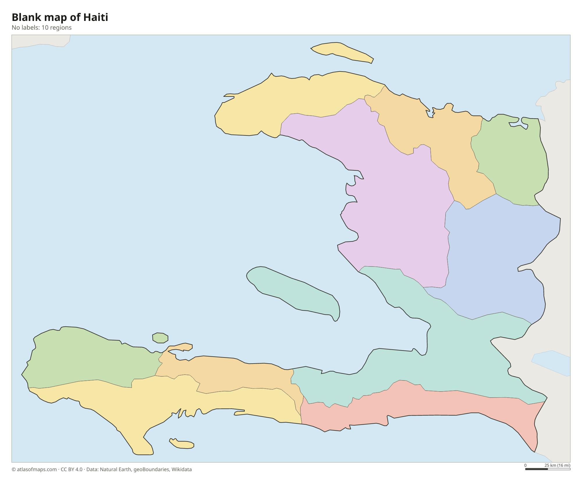
Blank map of Haiti

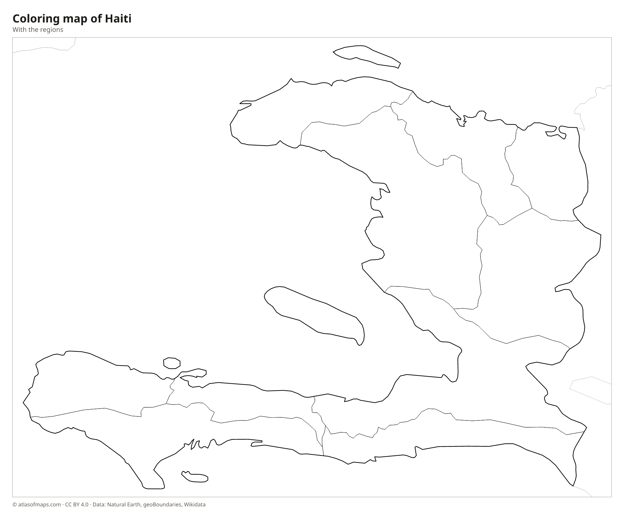
Coloring map of Haiti

Geography of Haiti
Haiti covers 27,750 km² (10,714 sq mi), and its name comes from a Taíno word often translated as land of high mountains. Two long peninsulas reach west around the Gulf of Gonâve, giving the country the shape of an open claw. The Massif du Nord crosses the north, the Massif de la Hotte rises in the far southwest, and the Massif de la Selle lies in the southeast. Pic la Selle, near the Dominican border, is the highest point at 2,674 m (8,773 ft).
Between the mountain ranges lie fertile plains and valleys, such as the Plaine du Nord near Cap-Haïtien, the Central Plateau and the Artibonite Valley, Haiti's main rice-growing area. The Artibonite River, the longest on Hispaniola, flows west to the Gulf of Gonâve. Near the Dominican border, the salty Lake Azuei is the country's largest lake. Several islands belong to Haiti, including Gonâve Island, Tortuga in the north and Île-à-Vache in the south. The climate is tropical, and hurricanes can strike from June to November.
Fun facts
- Haiti became independent in 1804, making it the first independent nation in Latin America and the Caribbean.
- The Citadelle Laferrière, a huge mountaintop fortress near Cap-Haïtien, is part of a UNESCO World Heritage Site.
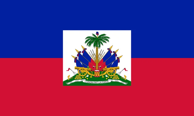
Flag of Haiti
The flag of Haiti has two equal horizontal stripes, blue on top and red below. In the center is a white rectangle with the coat of arms: a royal palm topped by a liberty cap, surrounded by flags, cannons, cannonballs, a drum and other weapons on green ground, with a white ribbon reading L'Union fait la force, meaning Unity makes strength.
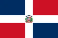
Countries bordering Haiti
Frequently asked questions
What country borders Haiti?
Haiti has one land neighbor, the Dominican Republic, which covers the eastern two-thirds of Hispaniola. Across the sea, Cuba lies to the northwest and Jamaica to the west.
How many departments does Haiti have?
Haiti has 10 departments: Artibonite, Centre, Grand'Anse, Nippes, Nord, Nord-Est, Nord-Ouest, Ouest, Sud and Sud-Est. The capital, Port-au-Prince, is in Ouest.
What island is Haiti on?
Haiti is on Hispaniola, the second-largest island in the Caribbean after Cuba. Haiti takes up the western third of the island, and the Dominican Republic the rest.
What is the capital of Haiti?
The capital of Haiti is Port-au-Prince.
How many regions does Haiti have?
Haiti is divided into 10 regions: Artibonite, Centre, Grand'Anse, Nippes, Nord, Nord-Est, Nord-Ouest, Ouest, Sud, and Sud-Est.
What language is spoken in Haiti?
The official languages are French and Haitian Creole.
Can I print the map of Haiti?
Yes. Every map on this page can be downloaded for free as PNG or PDF (US Letter) and printed, including the blank map and the coloring map. Please credit the source (Atlas of Maps, CC BY 4.0).
Use this map
You can download, print and share this map for free, in class, in school projects, in presentations and on websites, as long as you credit the source: Map of Haiti · Atlas of Maps (atlasofmaps.com), license CC BY 4.0.
See also: Map of North America · Map of the Caribbean · Map of Latin America · World map