Map of Kazakhstan
Kazakhstan is a landlocked country in Central Asia, with a small part west of the Ural River in Eastern Europe. It borders Russia, China, Kyrgyzstan, Uzbekistan and Turkmenistan, and its western edge lies on the Caspian Sea. The political map shows its regions, the capital, Astana, and major cities.

- Capital
- Astana
- Population
- 20.1 million (2024)
- Area
- 2,724,900 km² (1,052,090 sq mi)
- Population density
- 7 per km² (19 per sq mi)
- Official languages
- Kazakh and Russian
- Currency
- Kazakhstani tenge
- Demonym
- Kazakhstani
- Highest point
- Khan Tengri (7,010 m (22,999 ft))
- Calling code
- +7
- Internet domain
- .kz
Where is Kazakhstan?
Kazakhstan is a landlocked country in Central Asia, with a small part west of the Ural River in Eastern Europe. It borders Russia, China, Kyrgyzstan, Uzbekistan and Turkmenistan, and its western edge lies on the Caspian Sea.
Neighboring countries: China, Kyrgyzstan, Russia, Turkmenistan, Uzbekistan.

Regions of Kazakhstan and their capitals
Kazakhstan is divided into regions, or oblystar, and cities with special status, including Astana, Almaty and Shymkent. Several new regions, such as Abai, Jetisu and Ulytau, were created in 2022, so the Natural Earth divisions on the map may be out of date.
The divisions on the map come from Natural Earth and may not reflect the latest territorial reform in Kazakhstan.
| Region | Capital | Population | Area |
|---|---|---|---|
| Akmola | Kokshetau | 782,995 | 146,219 km² (56,455 sq mi) |
| Aktobe | Aktobe | 906,220 | 300,629 km² (116,074 sq mi) |
| Almaty | Qonayev | 2,146,576 | 223,911 km² (86,453 sq mi) |
| Almaty City | — | 2,228,675 | 682 km² (263 sq mi) |
| Atyrau | Atyrau | 673,601 | 118,631 km² (45,804 sq mi) |
| East Kazakhstan | Oskemen | 1,341,292 | 97,726 km² (37,732 sq mi) |
| Jambyl | Taraz | 1,199,259 | 144,264 km² (55,701 sq mi) |
| Karaganda | Karaganda | 1,348,468 | 427,982 km² (165,245 sq mi) |
| Kostanay | Kostanay | 833,643 | 196,001 km² (75,676 sq mi) |
| Kyzylorda | Kyzylorda | 814,931 | 226,019 km² (87,266 sq mi) |
| Mangystau | Aktau | 735,008 | 165,642 km² (63,955 sq mi) |
| North Kazakhstan | Petropavl | 540,786 | 97,993 km² (37,835 sq mi) |
| Nur-Sultan | — | 1,078,362 | 797 km² (308 sq mi) |
| Pavlodar | Pavlodar | 756,755 | 124,800 km² (48,186 sq mi) |
| Turkistan | Turkistan | 1,929,000 | 116,902 km² (45,136 sq mi) |
| West Kazakhstan | Oral | 675,655 | 151,339 km² (58,432 sq mi) |
Population from Wikidata (latest figure available for each region).
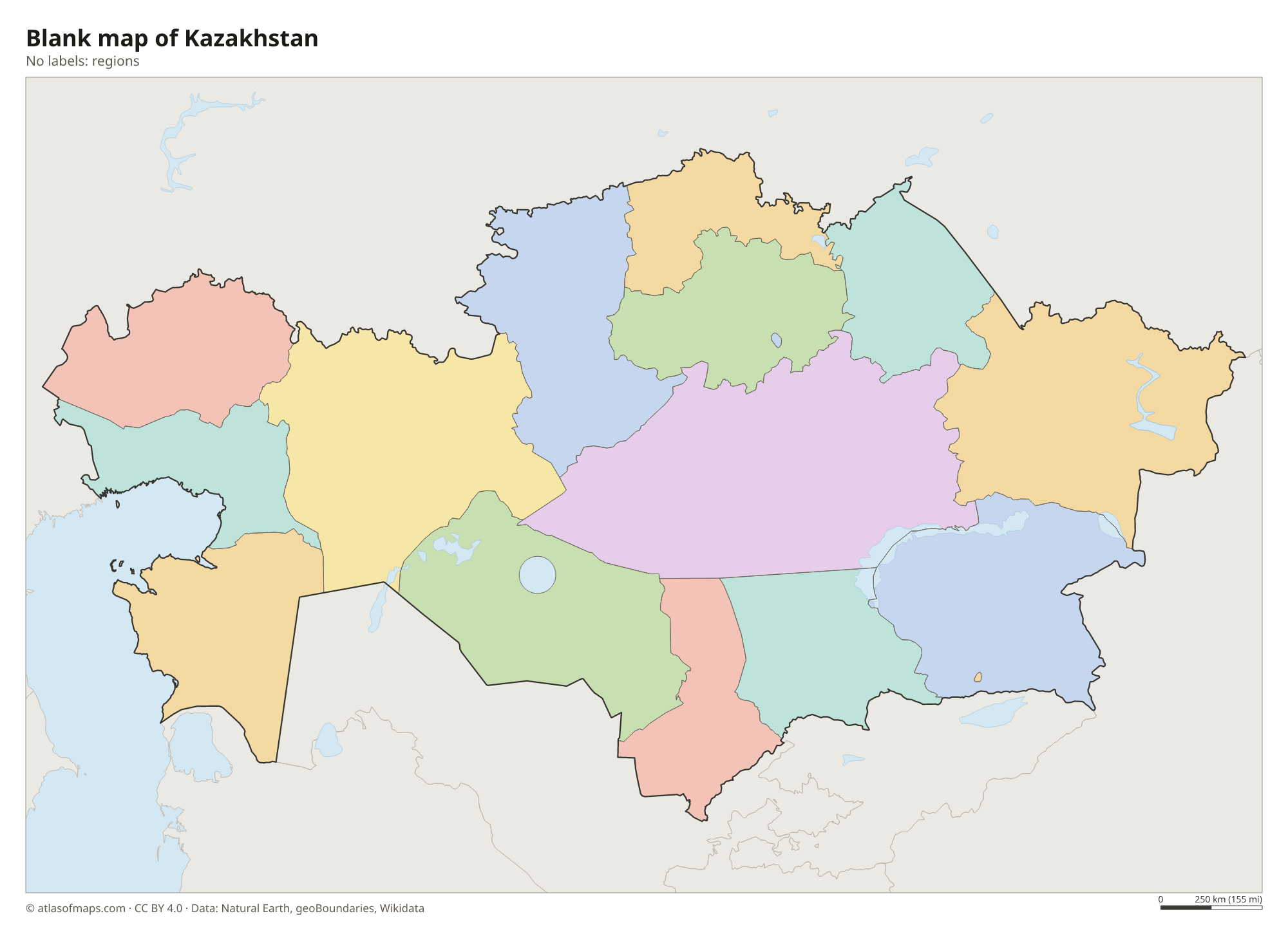
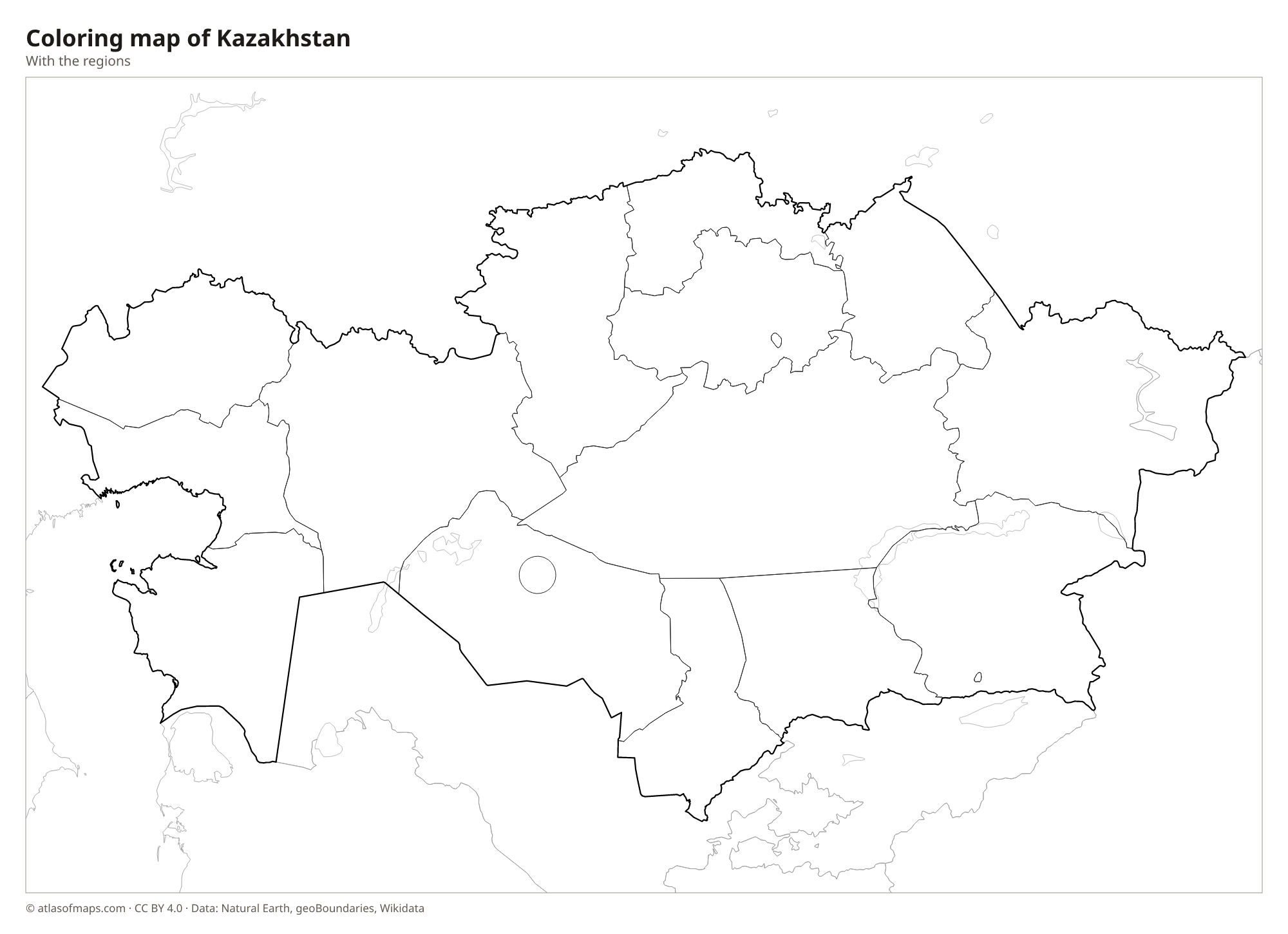
Blank and coloring maps of Kazakhstan
Blank map of Kazakhstan

Coloring map of Kazakhstan

Geography of Kazakhstan
Kazakhstan covers 2,724,900 km² (1,052,090 sq mi), making it the largest landlocked country in the world. Most of it is flat or gently rolling: grassy steppe in the north, then semi-desert and desert farther south, including the Kyzylkum and the Betpak-Dala. In the west, the land sinks into the Caspian Depression, part of which lies below sea level. High mountains rise only along the southern and eastern edges, in the Tian Shan and the Altai. Khan Tengri, on the border with Kyrgyzstan and China, is the highest point at 7,010 m (22,999 ft).
Large rivers include the Irtysh and the Ishim in the north, which flow toward Siberia, the Ural in the west and the Syr Darya in the south, which ends in the shrinking Aral Sea. Lake Balkhash in the east is unusual: its western half is fresh water and its eastern half is salty. The Caspian Sea coast and its offshore waters hold major oil fields. The climate is strongly continental, with very cold winters and hot summers, and Astana, in the north, is one of the coldest capital cities in the world.
Fun facts
- Kazakhstan is the ninth-largest country in the world by area.
- The Baikonur Cosmodrome, from which Yuri Gagarin flew into space in 1961, lies in Kazakhstan and is leased by Russia.
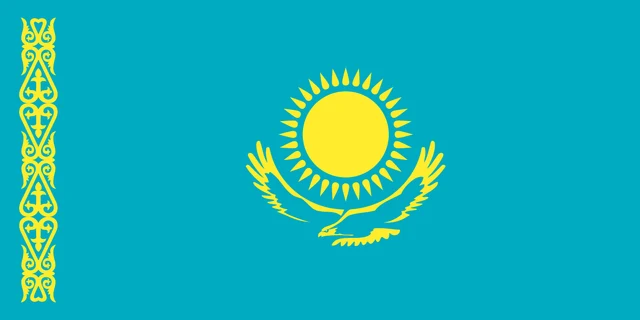
Flag of Kazakhstan
Kazakhstan's flag has a sky blue field with a golden sun with 32 rays in the center. Below the sun flies a golden steppe eagle with outstretched wings. Along the side next to the pole runs a vertical band of golden traditional ornament, a pattern based on ram's horns. The flag has a 1:2 ratio.
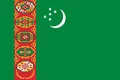
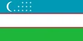
Countries bordering Kazakhstan
Frequently asked questions
What countries border Kazakhstan?
Kazakhstan borders five countries: Russia to the north and west, China to the east, and Kyrgyzstan, Uzbekistan and Turkmenistan to the south. Its border with Russia is one of the longest land borders in the world.
Is Kazakhstan in Europe or Asia?
Kazakhstan lies mainly in Central Asia, but a small part of its territory west of the Ural River is usually counted as Europe. This makes it one of the few countries on two continents.
What is the capital of Kazakhstan?
The capital is Astana, in the north. It replaced Almaty as the capital in 1997 and was called Nur-Sultan from 2019 to 2022. Almaty, in the southeast, remains the largest city.
What language is spoken in Kazakhstan?
The official languages are Kazakh and Russian.
Can I print the map of Kazakhstan?
Yes. Every map on this page can be downloaded for free as PNG or PDF (US Letter) and printed, including the blank map and the coloring map. Please credit the source (Atlas of Maps, CC BY 4.0).
Use this map
You can download, print and share this map for free, in class, in school projects, in presentations and on websites, as long as you credit the source: Map of Kazakhstan · Atlas of Maps (atlasofmaps.com), license CC BY 4.0.
See also: Map of Asia · World map