Map of Kyrgyzstan with regions and capitals
Kyrgyzstan is a landlocked, mountainous country in Central Asia. It borders Kazakhstan to the north, China to the east and southeast, Tajikistan to the southwest and Uzbekistan to the west. The political map shows its 8 regions, the capital, Bishkek, and major cities.

- Capital
- Bishkek
- Population
- 7.3 million (2025)
- Area
- 199,951 km² (77,202 sq mi)
- Population density
- 36 per km² (94 per sq mi)
- Official language
- Kyrgyz
- Currency
- Kyrgyz som
- Demonym
- Kyrgyz
- Regions
- 8
- Highest point
- Jengish Chokusu (7,439 m (24,406 ft))
- Calling code
- +996
- Internet domain
- .kg
Where is Kyrgyzstan?
Kyrgyzstan is a landlocked, mountainous country in Central Asia. It borders Kazakhstan to the north, China to the east and southeast, Tajikistan to the southwest and Uzbekistan to the west.
Neighboring countries: China, Kazakhstan, Tajikistan, Uzbekistan.

Regions of Kyrgyzstan and their capitals
The map shows 8 units: seven regions, Batken, Chüy, Issyk-Kul, Jalal-Abad, Naryn, Osh and Talas, plus the capital city of Bishkek, which is governed separately from the Chüy Region around it.
| Region | Capital | Population | Area |
|---|---|---|---|
| Batken | Batken | 594,700 | 16,995 km² (6,562 sq mi) |
| Bishkek | Bishkek | 1,191,000 | 127 km² (49 sq mi) |
| Chuy | Bishkek | 1,102,100 | 20,200 km² (7,799 sq mi) |
| Issyk-Kul | Karakol | 549,800 | 43,100 km² (16,641 sq mi) |
| Jalal-Abad | Manas | 1,358,500 | 33,700 km² (13,012 sq mi) |
| Naryn | Naryn | 314,900 | 45,200 km² (17,452 sq mi) |
| Osh | — | 375,400 | 183 km² (71 sq mi) |
| Talas | Talas | 280,500 | 11,400 km² (4,402 sq mi) |
Population from Wikidata (latest figure available for each region).
Blank and coloring maps of Kyrgyzstan
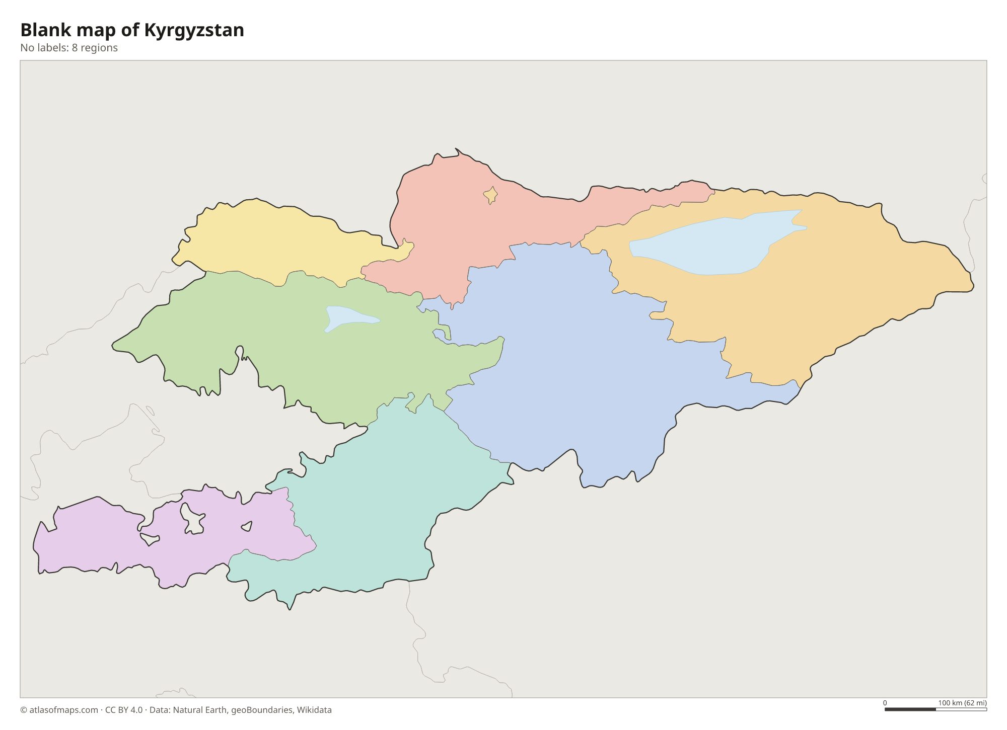
Blank map of Kyrgyzstan

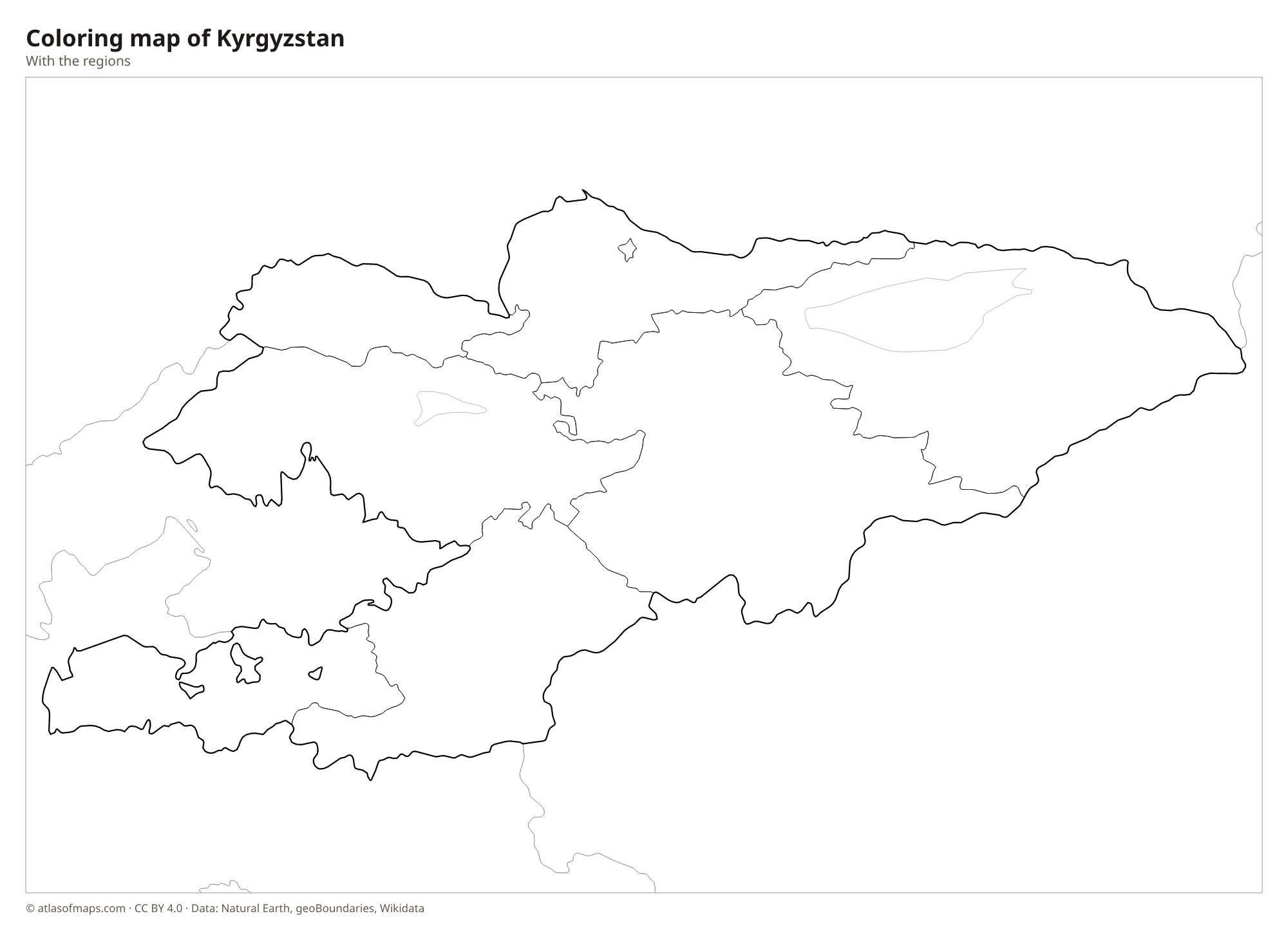
Coloring map of Kyrgyzstan

Geography of Kyrgyzstan
Kyrgyzstan covers 199,951 km² (77,202 sq mi), and nearly all of it is mountainous. The Tian Shan ranges fill most of the country, and the Pamir-Alay mountains rise in the south along the border with Tajikistan. Jengish Chokusu, also called Victory Peak, on the border with China, is the highest point at 7,439 m (24,406 ft). High grassy valleys called jailoos serve as summer pastures for herders. The main lowlands are the Chüy Valley in the north, around Bishkek, and the edge of the fertile Fergana Valley in the southwest, around Osh.
Issyk-Kul, in the northeast, is one of the largest mountain lakes in the world and stays ice-free in winter despite its altitude, thanks partly to its slightly salty water. Song-Kul is a high alpine lake surrounded by summer pastures. The Naryn River, a main source of the Syr Darya, flows west through a series of dams, including the large Toktogul Reservoir. The Chüy River forms part of the border with Kazakhstan. The climate is continental, with cold winters in the mountains and hot summers in the valleys.
Fun facts
- The walnut forests around Arslanbob in southern Kyrgyzstan are among the largest natural walnut forests in the world.
- Several small enclaves of Uzbekistan and Tajikistan lie completely surrounded by Kyrgyz territory near the Fergana Valley.
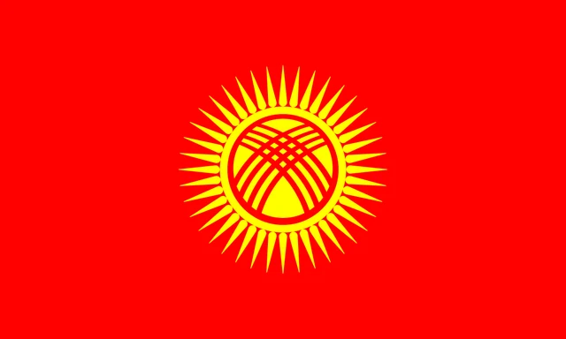
Flag of Kyrgyzstan
Kyrgyzstan's flag has a red field with a yellow sun in the center. The sun has 40 rays, and inside it is a red ring crossed by two sets of three lines, a stylized view of the tunduk, the round wooden crown at the top of a yurt. The flag has a 3:5 ratio.
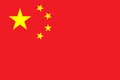
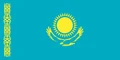
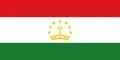
Countries bordering Kyrgyzstan
Frequently asked questions
What countries border Kyrgyzstan?
Kyrgyzstan borders four countries: Kazakhstan to the north, China to the east and southeast, Tajikistan to the southwest and Uzbekistan to the west.
How many regions does Kyrgyzstan have?
The map shows 8 units: the seven regions of Batken, Chüy, Issyk-Kul, Jalal-Abad, Naryn, Osh and Talas, plus the capital, Bishkek, as a separate city.
What is the largest lake in Kyrgyzstan?
The largest lake is Issyk-Kul, in the northeast. It lies high in the Tian Shan mountains, is slightly salty and does not freeze in winter, which fits its name, meaning warm lake.
What is the capital of Kyrgyzstan?
The capital of Kyrgyzstan is Bishkek.
What language is spoken in Kyrgyzstan?
The official language is Kyrgyz.
Can I print the map of Kyrgyzstan?
Yes. Every map on this page can be downloaded for free as PNG or PDF (US Letter) and printed, including the blank map and the coloring map. Please credit the source (Atlas of Maps, CC BY 4.0).
Use this map
You can download, print and share this map for free, in class, in school projects, in presentations and on websites, as long as you credit the source: Map of Kyrgyzstan · Atlas of Maps (atlasofmaps.com), license CC BY 4.0.
See also: Map of Asia · World map