Map of Turkmenistan with regions and capitals
Turkmenistan is a country in Central Asia on the eastern shore of the Caspian Sea. It borders Kazakhstan to the northwest, Uzbekistan to the north and east, Afghanistan to the southeast and Iran to the south. The political map shows its 5 regions, the capital, Ashgabat, and major cities.

- Capital
- Ashgabat
- Population
- 6.1 million (2021)
- Area
- 491,210 km² (189,657 sq mi)
- Population density
- 12 per km² (32 per sq mi)
- Official language
- Turkmen
- Currency
- Turkmenistan new manat
- Demonym
- Turkmen
- Regions
- 5
- Highest point
- Aýrybaba (3,139 m (10,299 ft))
- Calling code
- +993
- Internet domain
- .tm
Where is Turkmenistan?
Turkmenistan is a country in Central Asia on the eastern shore of the Caspian Sea. It borders Kazakhstan to the northwest, Uzbekistan to the north and east, Afghanistan to the southeast and Iran to the south.
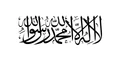
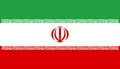
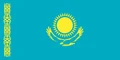
Neighboring countries: Afghanistan, Iran, Kazakhstan, Uzbekistan.

Regions of Turkmenistan and their capitals
Turkmenistan is divided into 5 provinces (welayatlar): Ahal, Balkan, Daşoguz, Lebap and Mary. The capital, Ashgabat, lies in the south within the area of Ahal but is governed separately as a city with the status of a province.
| Region | Capital | Population | Area |
|---|---|---|---|
| Ahal | Arkadag | 886,845 | 97,160 km² (37,514 sq mi) |
| Balkan | Balkanabat | 529,895 | 139,270 km² (53,772 sq mi) |
| Daşoguz | — | 201,142 | 161 km² (62 sq mi) |
| Lebap | Türkmenabat | 1,447,298 | 93,730 km² (36,189 sq mi) |
| Mary | Mary | 1,613,386 | 87,150 km² (33,649 sq mi) |
Population from Wikidata (latest figure available for each region).
Blank and coloring maps of Turkmenistan
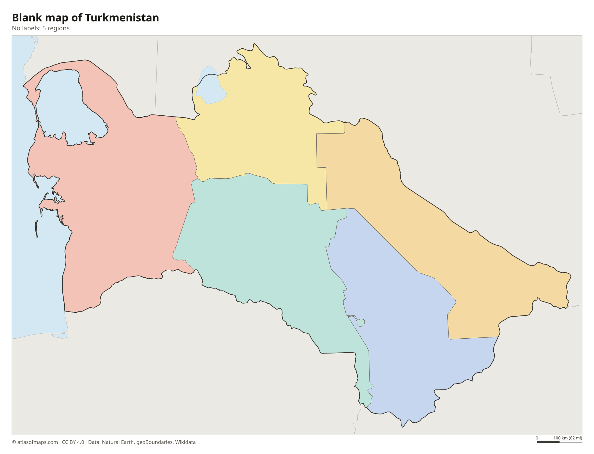
Blank map of Turkmenistan

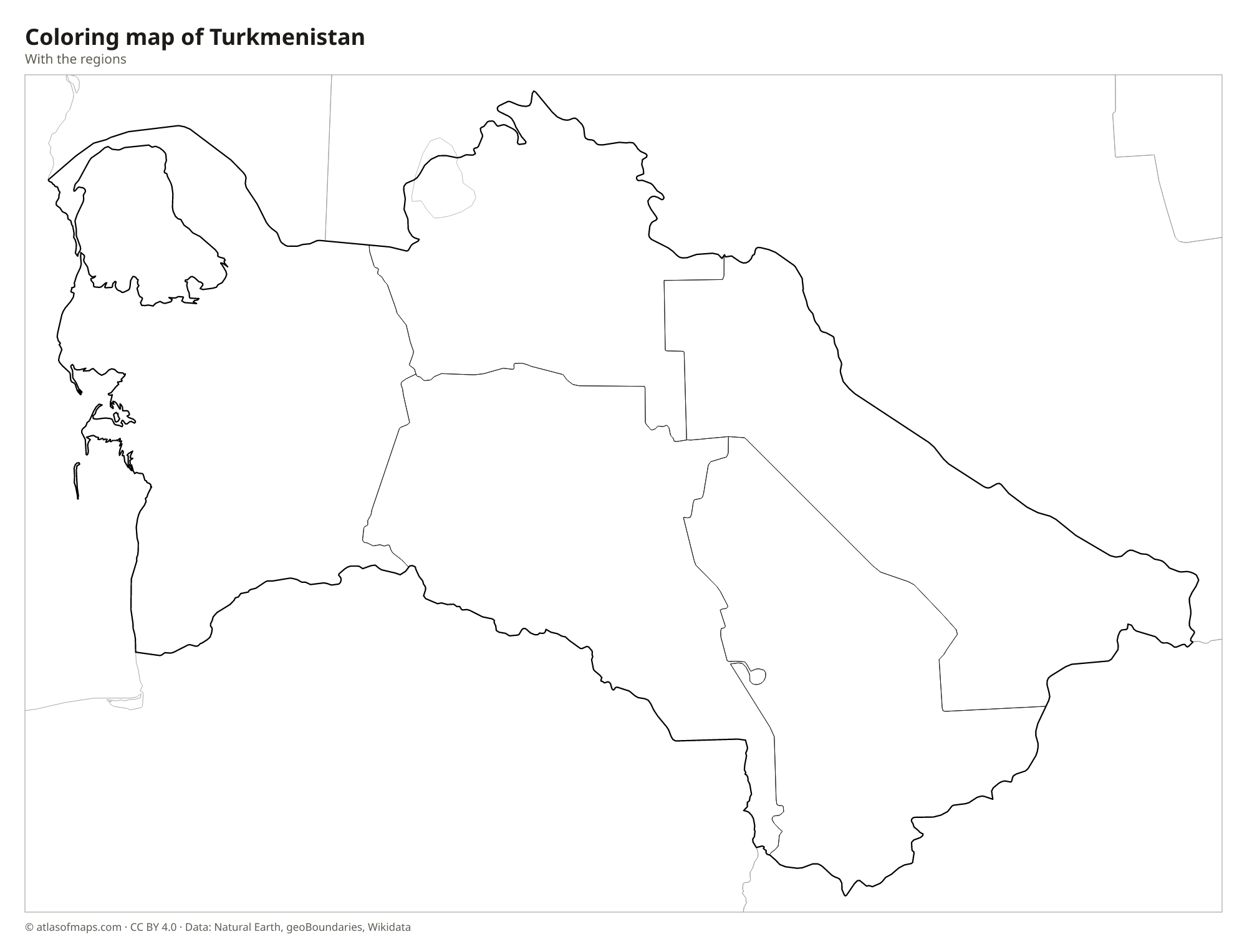
Coloring map of Turkmenistan

Geography of Turkmenistan
Turkmenistan covers about 491,210 km² (189,657 sq mi), and most of it is flat, dry lowland. The Karakum Desert, one of the largest sand deserts in the world, takes up around 70 percent of the country. Along the southern border with Iran rise the Kopet Dag mountains, and the capital, Ashgabat, lies at their foot. In the far east, the Köýtendag range near the Uzbek border holds the highest point, Aýrybaba, at 3,139 m (10,299 ft). The northwest includes part of the Ustyurt Plateau.
The Amu Darya flows along the northeast of the country, while the Murghab and Tejen rivers come down from Afghanistan and Iran and fade out in the desert. The Karakum Canal, one of the longest irrigation canals in the world, carries water from the Amu Darya west across the desert to farms and oases. On the Caspian coast lies Garabogazköl, a huge, shallow bay with very salty water. The climate is strongly continental, with very hot summers and cold winters, and little rain falls anywhere.
Fun facts
- The Darvaza gas crater in the Karakum Desert has been burning for decades and is known as the Door to Hell.
- The United Nations General Assembly recognized Turkmenistan's permanent neutrality in 1995.
- Ashgabat holds a Guinness World Record for having the most buildings clad in white marble.
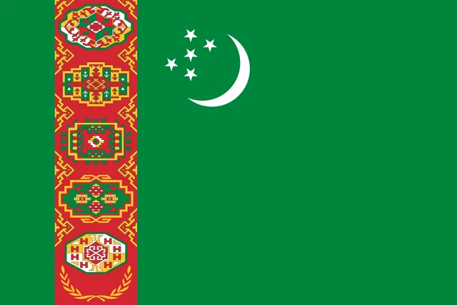
Flag of Turkmenistan
The flag of Turkmenistan is green with a vertical red stripe near the hoist. The stripe holds five traditional carpet designs, called guls, stacked one above the other, with two crossed olive branches beneath them. To the right of the stripe, in the upper part of the green field, is a white crescent next to five white five-pointed stars.
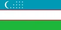
Countries bordering Turkmenistan
Frequently asked questions
What countries border Turkmenistan?
Turkmenistan borders four countries: Kazakhstan, Uzbekistan, Afghanistan and Iran. To the west it has a long shoreline on the Caspian Sea, a large inland body of water with no link to the ocean.
How many regions does Turkmenistan have?
Turkmenistan has 5 regions, called welayats: Ahal, Balkan, Daşoguz, Lebap and Mary. Balkan, in the west along the Caspian Sea, is the largest by area.
What is the capital of Turkmenistan?
The capital is Ashgabat, in the south of the country near the border with Iran. The city lies between the Karakum Desert and the Kopet Dag mountains.
What language is spoken in Turkmenistan?
The official language is Turkmen.
Can I print the map of Turkmenistan?
Yes. Every map on this page can be downloaded for free as PNG or PDF (US Letter) and printed, including the blank map and the coloring map. Please credit the source (Atlas of Maps, CC BY 4.0).
Use this map
You can download, print and share this map for free, in class, in school projects, in presentations and on websites, as long as you credit the source: Map of Turkmenistan · Atlas of Maps (atlasofmaps.com), license CC BY 4.0.
See also: Map of Asia · World map