Map of Uzbekistan with regions and capitals
Uzbekistan is a landlocked country in Central Asia. It borders Kazakhstan to the north and west, Kyrgyzstan and Tajikistan to the east, and Afghanistan and Turkmenistan to the south, and it is one of only two doubly landlocked countries in the world. The political map shows its 14 regions, the capital, Tashkent, and major cities.

- Capital
- Tashkent
- Population
- 34.9 million (2021)
- Area
- 448,978 km² (173,351 sq mi)
- Population density
- 78 per km² (201 per sq mi)
- Official language
- Uzbek
- Currency
- Uzbek som
- Demonym
- Uzbekistani
- Regions
- 14
- Highest point
- Khazret Sultan (4,643 m (15,233 ft))
- Calling code
- +998
- Internet domain
- .uz
Where is Uzbekistan?
Uzbekistan is a landlocked country in Central Asia. It borders Kazakhstan to the north and west, Kyrgyzstan and Tajikistan to the east, and Afghanistan and Turkmenistan to the south, and it is one of only two doubly landlocked countries in the world.
Neighboring countries: Afghanistan, Kazakhstan, Kyrgyzstan, Tajikistan, Turkmenistan.

Regions of Uzbekistan and their capitals
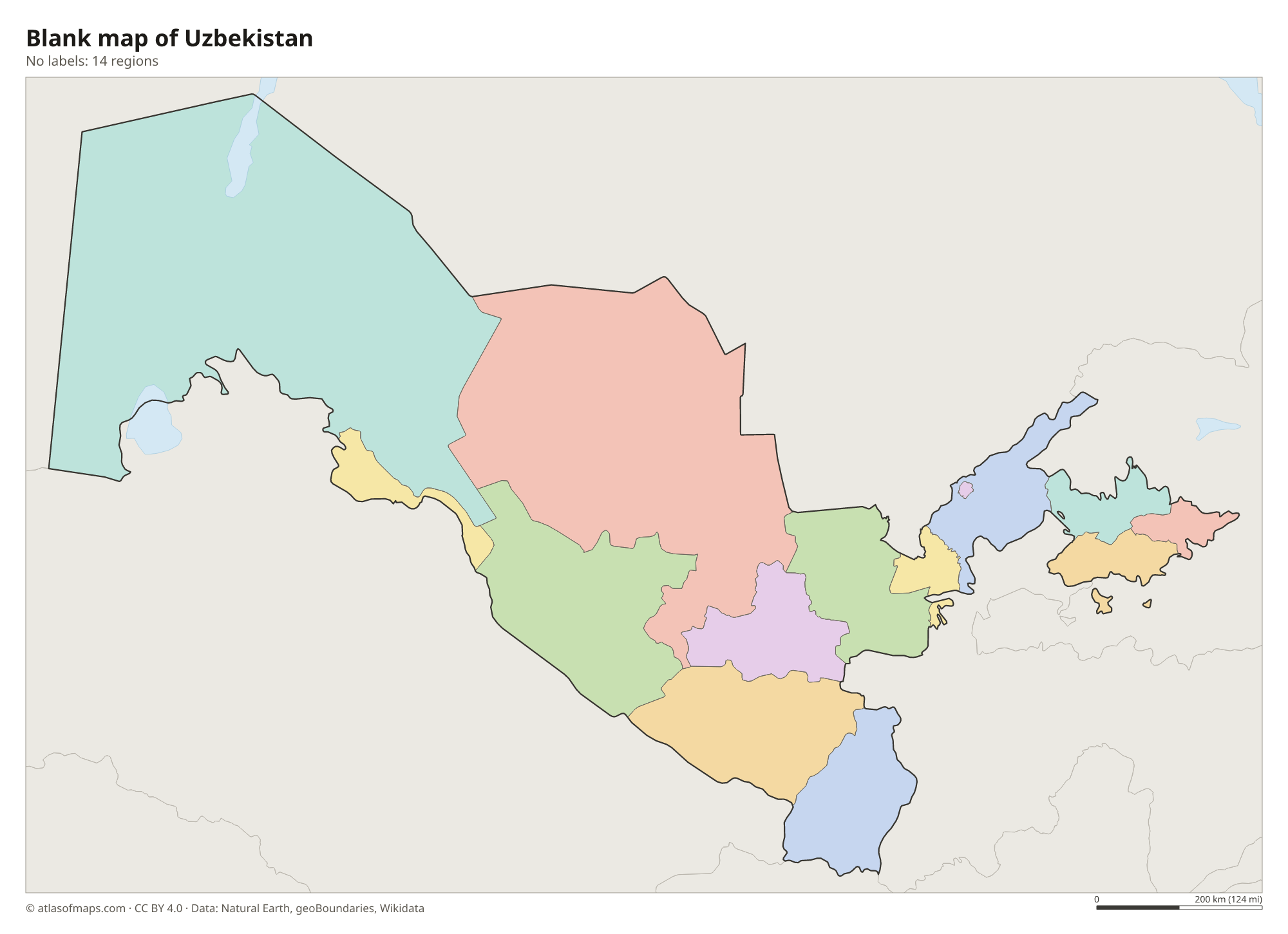
Uzbekistan has 14 first-level divisions: 12 regions (viloyatlar), the Republic of Karakalpakstan, an autonomous republic covering the northwest, and the capital city of Tashkent. The name Tashkent appears twice on the map, once for the city and once for the surrounding region.
| Region | Capital | Population | Area |
|---|---|---|---|
| Andijan | Andijan | 1,899,500 | 4,200 km² (1,622 sq mi) |
| Bukhara | Bukhara | 1,543,900 | 39,400 km² (15,212 sq mi) |
| Fergana | Fergana | 3,564,800 | 6,760 km² (2,610 sq mi) |
| Jizzakh | Jizzakh | 1,250,100 | 20,500 km² (7,915 sq mi) |
| Karakalpakstan | Nukus | 2,149,932 | 160,000 km² (61,776 sq mi) |
| Namangan | Namangan | 2,554,200 | 7,900 km² (3,050 sq mi) |
| Navoiy | Navoiy | 767,500 | 110,990 km² (42,853 sq mi) |
| Qashqadaryo | Qarshi | 3,088,800 | 28,400 km² (10,965 sq mi) |
| Samarqand | Samarkand | 3,444,800 | 16,400 km² (6,332 sq mi) |
| Sirdaryo | Guliston | — | 4,300 km² (1,660 sq mi) |
| Surxondaryo | Termez | — | 20,800 km² (8,031 sq mi) |
| Tashkent City | Tashkent City | 2,956,384 | 335 km² (129 sq mi) |
| Tashkent Region | Nurafshon | 2,644,400 | 15,300 km² (5,907 sq mi) |
| Xorazm | Urgench | 1,715,600 | 6,300 km² (2,432 sq mi) |
Population from Wikidata (latest figure available for each region).
Blank and coloring maps of Uzbekistan
Blank map of Uzbekistan

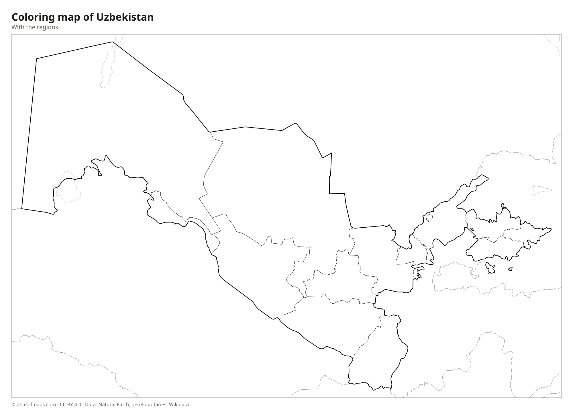
Coloring map of Uzbekistan

Geography of Uzbekistan
Uzbekistan covers about 448,978 km² (173,351 sq mi), and most of it is flat desert and steppe. The Kyzylkum Desert fills the center, between the Amu Darya and the Syr Darya, and the Ustyurt Plateau spreads across the far west in Karakalpakstan. Mountains rise only in the east and southeast, where spurs of the Tian Shan and the Pamir-Alay reach into the country. On the border with Tajikistan, Khazret Sultan in the Gissar Range is the highest point at 4,643 m (15,233 ft). The fertile Fergana Valley in the east is the most densely populated region.
The country's two great rivers, the Amu Darya and the Syr Darya, carry snowmelt from the mountains toward the Aral Sea. Heavy use of their water for irrigation, mainly for cotton, caused the Aral Sea to shrink dramatically, leaving a new desert, the Aralkum, on the old seabed. The Zarafshan River waters the oases of Samarkand and Bukhara. The climate is sharply continental, with very hot, dry summers, cold winters and little rain outside the mountains.
Fun facts
- Uzbekistan and Liechtenstein are the only doubly landlocked countries, meaning every neighbor is also landlocked.
- The old cities of Samarkand, Bukhara and Khiva were major stops on the Silk Road and are UNESCO World Heritage Sites.
- The Aral Sea, once one of the four largest lakes in the world, has lost most of its water since the 1960s.
Flag of Uzbekistan
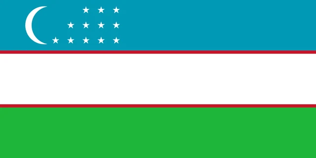
The flag of Uzbekistan has three horizontal stripes of light blue, white and green, with the white stripe separated from the others by thin red lines. In the upper hoist corner of the blue stripe are a white crescent moon and 12 white five-pointed stars arranged in three rows.
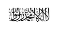
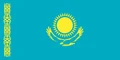
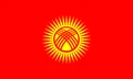
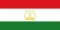
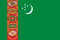
Countries bordering Uzbekistan
Frequently asked questions
What countries border Uzbekistan?
Uzbekistan borders five countries: Kazakhstan, Kyrgyzstan, Tajikistan, Afghanistan and Turkmenistan. All of them are landlocked, so reaching the open sea means crossing at least two borders.
How many regions does Uzbekistan have?
Uzbekistan has 14 regions on the map: 12 provinces, the autonomous Republic of Karakalpakstan and the city of Tashkent. Karakalpakstan is by far the largest by area.
What is the capital of Uzbekistan?
Tashkent, in the northeast near the border with Kazakhstan, is the capital and largest city of Uzbekistan. It lies in an oasis watered by the Chirchiq River.
What language is spoken in Uzbekistan?
The official language is Uzbek.
Can I print the map of Uzbekistan?
Yes. Every map on this page can be downloaded for free as PNG or PDF (US Letter) and printed, including the blank map and the coloring map. Please credit the source (Atlas of Maps, CC BY 4.0).
Use this map
You can download, print and share this map for free, in class, in school projects, in presentations and on websites, as long as you credit the source: Map of Uzbekistan · Atlas of Maps (atlasofmaps.com), license CC BY 4.0.
See also: Map of Asia · World map