Map of Tajikistan with regions and capitals
Tajikistan is a landlocked, mountainous country in Central Asia. It borders Uzbekistan to the west and northwest, Kyrgyzstan to the north, China to the east and Afghanistan to the south, where the Panj River forms much of the border. The political map shows its 5 regions, the capital, Dushanbe, and major cities.

- Capital
- Dushanbe
- Population
- 9.5 million (2021)
- Area
- 143,100 km² (55,251 sq mi)
- Population density
- 66 per km² (172 per sq mi)
- Official language
- Tajik
- Currency
- Tajikistani somoni
- Demonym
- Tajikistani
- Regions
- 5
- Highest point
- Ismoil Somoni Peak (7,495 m (24,590 ft))
- Calling code
- +992
- Internet domain
- .tj
Where is Tajikistan?
Tajikistan is a landlocked, mountainous country in Central Asia. It borders Uzbekistan to the west and northwest, Kyrgyzstan to the north, China to the east and Afghanistan to the south, where the Panj River forms much of the border.
Neighboring countries: Afghanistan, China, Kyrgyzstan, Uzbekistan.

Regions of Tajikistan and their capitals
Tajikistan is shown with 5 regions: Sughd in the north (labeled Khujand after its capital), Khatlon in the southwest, the Gorno-Badakhshan Autonomous Region covering the Pamirs in the east, the Districts of Republican Subordination in the center, and the capital, Dushanbe.
| Region | Capital | Population | Area |
|---|---|---|---|
| Districts of Republican Subordination | Dushanbe | 2,270,000 | 28,600 km² (11,043 sq mi) |
| Dushanbe | Dushanbe | 948,251 | 125 km² (48 sq mi) |
| Gorno-Badakhshan | Khorugh | 216,900 | 64,100 km² (24,749 sq mi) |
| Khatlon | Bokhtar | 3,444,000 | 24,600 km² (9,498 sq mi) |
| Khujand | — | 198,700 | 40 km² (15 sq mi) |
Population from Wikidata (latest figure available for each region).
Blank and coloring maps of Tajikistan
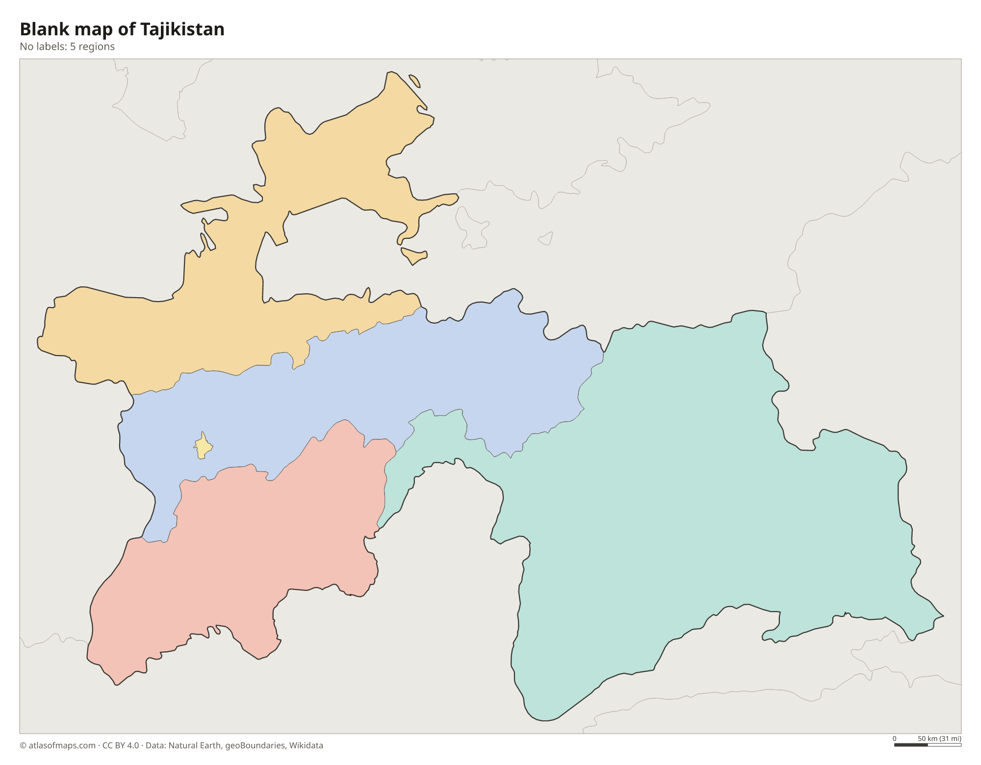
Blank map of Tajikistan

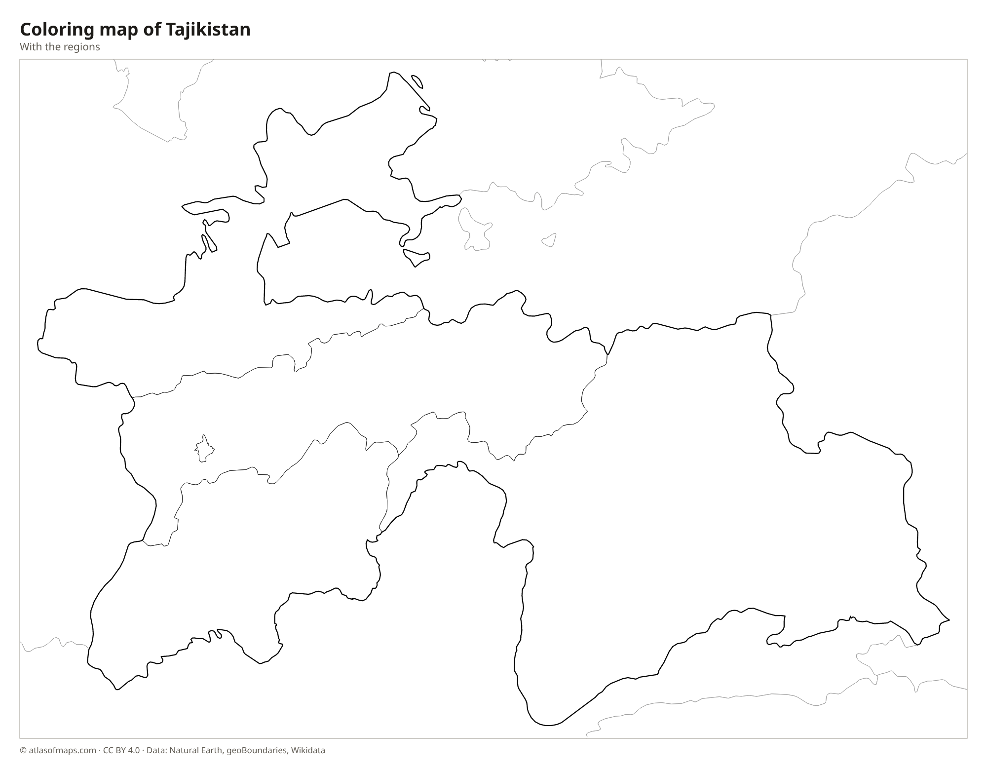
Coloring map of Tajikistan

Geography of Tajikistan
More than 90 percent of Tajikistan's 143,100 km² (55,251 sq mi) is mountainous. The Pamir Mountains fill the east, where Ismoil Somoni Peak reaches 7,495 m (24,590 ft), the highest point of the country and of the former Soviet Union. The Turkestan and Zeravshan ranges cross the north, and the Gissar Range rises just north of Dushanbe. Only a few lowlands break up the mountains: the western end of the Fergana Valley in the north and the broad southwestern valleys of the Vakhsh and Kofarnihon rivers.
Rivers fed by snow and glaciers drain the mountains. The Panj and the Vakhsh join on the Afghan border to form the Amu Darya, and the Syr Darya flows through the northern region around Khujand. The Fedchenko Glacier in the Pamirs is one of the longest glaciers outside the polar regions, and the Nurek Dam on the Vakhsh is among the tallest dams in the world. High in the eastern Pamirs lies Karakul, a large salt lake. The climate is continental, with hot summers in the valleys and severe cold on the high plateau.
Fun facts
- Ismoil Somoni Peak was called Stalin Peak and later Communism Peak before it received its current name in 1998.
- Sarez Lake in the Pamirs formed in 1911, when an earthquake set off a huge landslide that dammed the Murghab River.
- The Pamir Highway, one of the highest international roads in the world, crosses the Gorno-Badakhshan region.
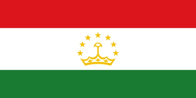
Flag of Tajikistan
The flag of Tajikistan has three horizontal stripes of red, white and green, with the white stripe in the middle wider than the other two. In the center of the white stripe is a gold crown topped by an arc of seven gold five-pointed stars.
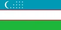
Countries bordering Tajikistan
Frequently asked questions
What countries border Tajikistan?
Tajikistan borders four countries: Uzbekistan to the west and northwest, Kyrgyzstan to the north, China to the east and Afghanistan to the south. It has no access to the sea.
How many regions does Tajikistan have?
Tajikistan has 5 regions on the map: Sughd, Khatlon, the Gorno-Badakhshan Autonomous Region, the Districts of Republican Subordination and the capital city of Dushanbe.
What is the highest mountain in Tajikistan?
The highest mountain is Ismoil Somoni Peak in the Pamir Mountains of eastern Tajikistan, at 7,495 m (24,590 ft). It is also the highest point of any former Soviet republic.
What is the capital of Tajikistan?
The capital of Tajikistan is Dushanbe.
What language is spoken in Tajikistan?
The official language is Tajik.
Can I print the map of Tajikistan?
Yes. Every map on this page can be downloaded for free as PNG or PDF (US Letter) and printed, including the blank map and the coloring map. Please credit the source (Atlas of Maps, CC BY 4.0).
Use this map
You can download, print and share this map for free, in class, in school projects, in presentations and on websites, as long as you credit the source: Map of Tajikistan · Atlas of Maps (atlasofmaps.com), license CC BY 4.0.
See also: Map of Asia · World map