Map of Malawi with regions and capitals
Malawi is a landlocked country in southeastern Africa, stretched along the western and southern shores of Lake Malawi. It borders Tanzania to the north, Zambia to the west and Mozambique to the east, south and southwest. The political map shows its 28 regions, the capital, Lilongwe, and major cities.

- Capital
- Lilongwe
- Population
- 17.6 million (2018)
- Area
- 118,484 km² (45,747 sq mi)
- Population density
- 148 per km² (384 per sq mi)
- Official languages
- English, Chewa, and Tumbuka
- Currency
- Malawian kwacha
- Demonym
- Malawian
- Regions
- 28
- Highest point
- Mulanje Massif (3,002 m (9,849 ft))
- Calling code
- +265
- Internet domain
- .mw
Where is Malawi?
Malawi is a landlocked country in southeastern Africa, stretched along the western and southern shores of Lake Malawi. It borders Tanzania to the north, Zambia to the west and Mozambique to the east, south and southwest.
Neighboring countries: Mozambique, Tanzania, Zambia.

Regions of Malawi and their capitals
The map shows Malawi's 28 districts, from Chitipa and Karonga in the north to Nsanje in the far south. The districts are grouped into three regions (Northern, Central and Southern), and Likoma District is made up of islands in Lake Malawi.
| Region | Capital | Population | Area |
|---|---|---|---|
| Balaka | Balaka Township | — | 2,193 km² (847 sq mi) |
| Blantyre | Blantyre | — | 1,785 km² (689 sq mi) |
| Chikwawa | Chikwawa | — | — |
| Chiradzulu | Chiradzulu | — | 767 km² (296 sq mi) |
| Chitipa | Chitipa | — | 4,288 km² (1,656 sq mi) |
| Dedza | Dedza | — | 3,624 km² (1,399 sq mi) |
| Dowa | Dowa | — | 3,041 km² (1,174 sq mi) |
| Karonga | — | — | — |
| Kasungu | Kasungu | — | 7,878 km² (3,042 sq mi) |
| Likoma | Likoma | — | 18 km² (6.9 sq mi) |
| Lilongwe | Lilongwe | — | 5,757 km² (2,223 sq mi) |
| Machinga | Machinga | — | 3,771 km² (1,456 sq mi) |
| Mangochi | Mangochi | — | 6,273 km² (2,422 sq mi) |
| Mchinji | Mchinji | — | 3,356 km² (1,296 sq mi) |
| Mulanje | Mulanje | — | 2,056 km² (794 sq mi) |
| Mwanza | Mwanza | — | 2,259 km² (872 sq mi) |
| Mzimba | Mzimba | — | 10,430 km² (4,027 sq mi) |
| Neno | Neno | — | 1,554 km² (600 sq mi) |
| Nkhata Bay | Nkhata Bay | — | 4,071 km² (1,572 sq mi) |
| Nkhotakota | Nkhotakota | — | 4,259 km² (1,644 sq mi) |
| Nsanje | Nsanje | — | 1,942 km² (750 sq mi) |
| Ntcheu | Ntcheu | — | 3,424 km² (1,322 sq mi) |
| Ntchisi | Ntchisi | — | 1,655 km² (639 sq mi) |
| Phalombe | Phalombe | 429,450 | 1,394 km² (538 sq mi) |
| Rumphi | Rumphi | — | 4,071 km² (1,572 sq mi) |
| Salima | Salima | — | 2,196 km² (848 sq mi) |
| Thyolo | Thyolo | — | 1,715 km² (662 sq mi) |
| Zomba | Zomba | — | 2,580 km² (996 sq mi) |
Population from Wikidata (latest figure available for each region).
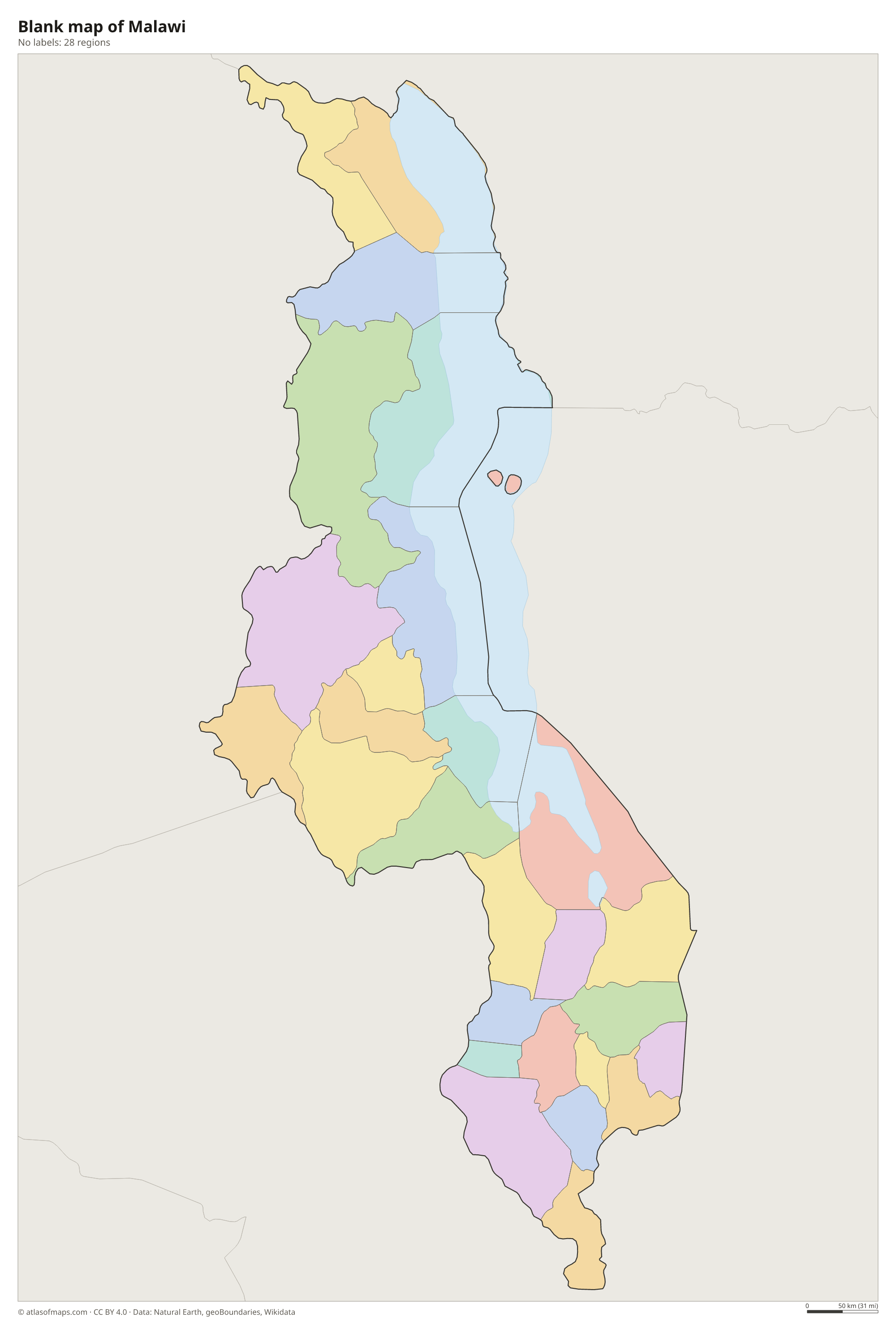
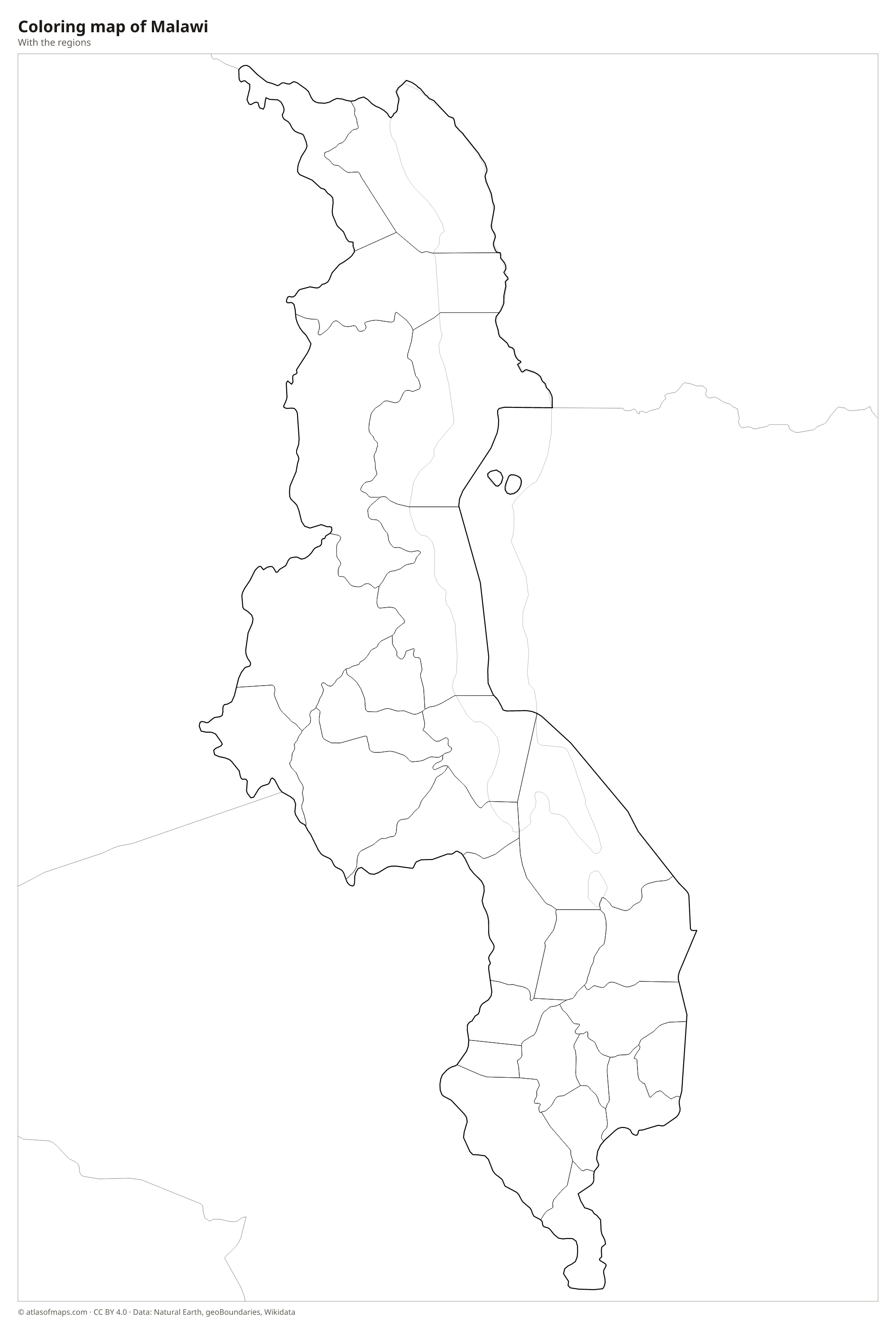
Blank and coloring maps of Malawi
Blank map of Malawi

Coloring map of Malawi

Geography of Malawi
Malawi lies at the southern end of the Great Rift Valley, a deep trough that holds Lake Malawi. The country is long and narrow, covering 118,484 km² (45,747 sq mi). Plateaus rise on both sides of the rift, including the high, grassy Nyika Plateau in the north and the Zomba Plateau in the south. In the far south, the granite Mulanje Massif climbs abruptly from the surrounding plain to 3,002 m (9,849 ft) at Sapitwa Peak, the highest point in the country.
Lake Malawi, also called Lake Nyasa, is one of Africa's Great Lakes and covers about a fifth of the country's area. It is known for its clear water and hundreds of species of colorful cichlid fish. The lake drains south through the Shire River, which flows past Lake Malombe and on into the Zambezi in Mozambique. The climate is tropical, with a hot rainy season from about November to April and a cooler dry season, and temperatures are milder on the plateaus.
Fun facts
- Lake Malawi is thought to hold more species of fish than any other lake on Earth, most of them cichlids found nowhere else.
- Likoma and Chizumulu, two Malawian islands in Lake Malawi, are surrounded by Mozambican waters.
- The Mulanje Massif rises so sharply from the plain that it is often called an "island in the sky".
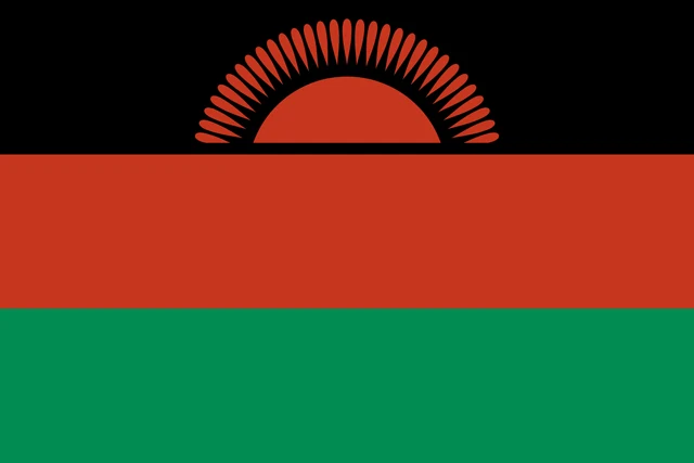
Flag of Malawi
The flag of Malawi has three equal horizontal bands of black, red and green, from top to bottom. A red rising sun with 31 rays sits in the center of the black band, with only its upper half and rays showing above the red stripe. The flag has a 2:3 ratio and no other symbols.
Countries bordering Malawi
Frequently asked questions
What countries border Malawi?
Malawi borders three countries: Tanzania to the north, Zambia to the west and Mozambique, which wraps around the south and east. Lake Malawi forms much of the eastern border.
How many districts does Malawi have?
Malawi has 28 districts, grouped into the Northern, Central and Southern regions. The capital, Lilongwe, is in the Central Region, and the largest commercial city, Blantyre, is in the Southern Region.
Which countries share Lake Malawi?
Lake Malawi is shared by Malawi, Mozambique and Tanzania. Most of the lake lies in Malawi, while Mozambique and Tanzania hold parts of its eastern and northeastern shores.
What is the capital of Malawi?
The capital of Malawi is Lilongwe.
How many regions does Malawi have?
Malawi is divided into 28 regions: Balaka, Blantyre, Chikwawa, Chiradzulu, Chitipa, Dedza, Dowa, Karonga, Kasungu, Likoma, Lilongwe, Machinga, Mangochi, Mchinji, Mulanje, Mwanza, Mzimba, Neno, Nkhata Bay, Nkhotakota, Nsanje, Ntcheu, Ntchisi, Phalombe, Rumphi, Salima, Thyolo, and Zomba.
What language is spoken in Malawi?
The official languages are English, Chewa, and Tumbuka.
Can I print the map of Malawi?
Yes. Every map on this page can be downloaded for free as PNG or PDF (US Letter) and printed, including the blank map and the coloring map. Please credit the source (Atlas of Maps, CC BY 4.0).
Use this map
You can download, print and share this map for free, in class, in school projects, in presentations and on websites, as long as you credit the source: Map of Malawi · Atlas of Maps (atlasofmaps.com), license CC BY 4.0.
See also: Map of Africa · World map