Map of Zambia with regions and capitals
Zambia is a landlocked country in southern Africa. It borders the Democratic Republic of the Congo and Tanzania to the north, Malawi and Mozambique to the east, Zimbabwe and Namibia to the south and Angola to the west. The political map shows its 10 regions, the capital, Lusaka, and major cities.

- Capital
- Lusaka
- Population
- 19.6 million (2022)
- Area
- 752,618 km² (290,587 sq mi)
- Population density
- 26 per km² (67 per sq mi)
- Official language
- English
- Currency
- Zambian Kwacha
- Demonym
- Zambian
- Regions
- 10
- Highest point
- Mafinga Central (2,339 m (7,674 ft))
- Calling code
- +260
- Internet domain
- .zm
Where is Zambia?
Zambia is a landlocked country in southern Africa. It borders the Democratic Republic of the Congo and Tanzania to the north, Malawi and Mozambique to the east, Zimbabwe and Namibia to the south and Angola to the west.
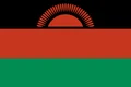
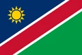
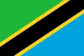
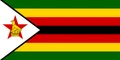
Neighboring countries: Angola, Democratic Republic of the Congo, Mozambique, Malawi, Namibia, Tanzania, Zimbabwe.

Regions of Zambia and their capitals
Zambia is divided into 10 provinces, each split into districts. Muchinga, in the northeast, is the newest, created in 2011, while the Copperbelt, on the border with the Democratic Republic of the Congo, is the center of copper mining.
| Region | Capital | Area |
|---|---|---|
| Central | Kabwe | 94,394 km² (36,446 sq mi) |
| Copperbelt | Ndola | 31,328 km² (12,096 sq mi) |
| Eastern | Chipata | 51,476 km² (19,875 sq mi) |
| Luapula | Mansa | 50,567 km² (19,524 sq mi) |
| Lusaka | Lusaka | 21,896 km² (8,454 sq mi) |
| Muchinga | Chinsali | 87,806 km² (33,902 sq mi) |
| Northern | Kasama | 77,650 km² (29,981 sq mi) |
| Northwestern | Solwezi | 125,826 km² (48,582 sq mi) |
| Southern | Livingstone | 85,823 km² (33,136 sq mi) |
| Western | Mongu | 126,386 km² (48,798 sq mi) |
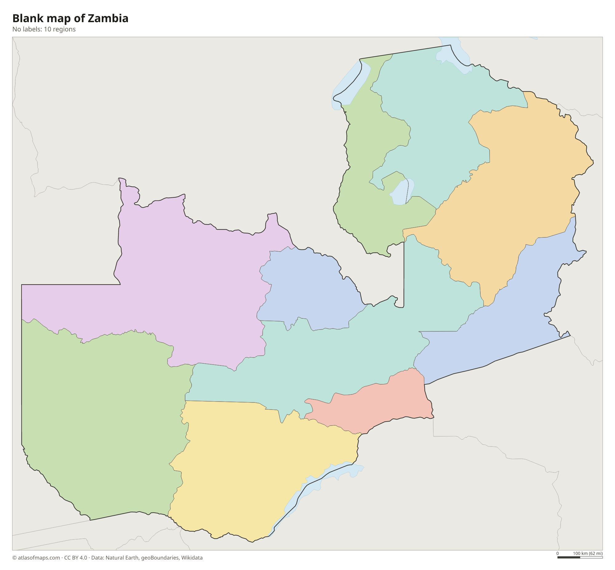
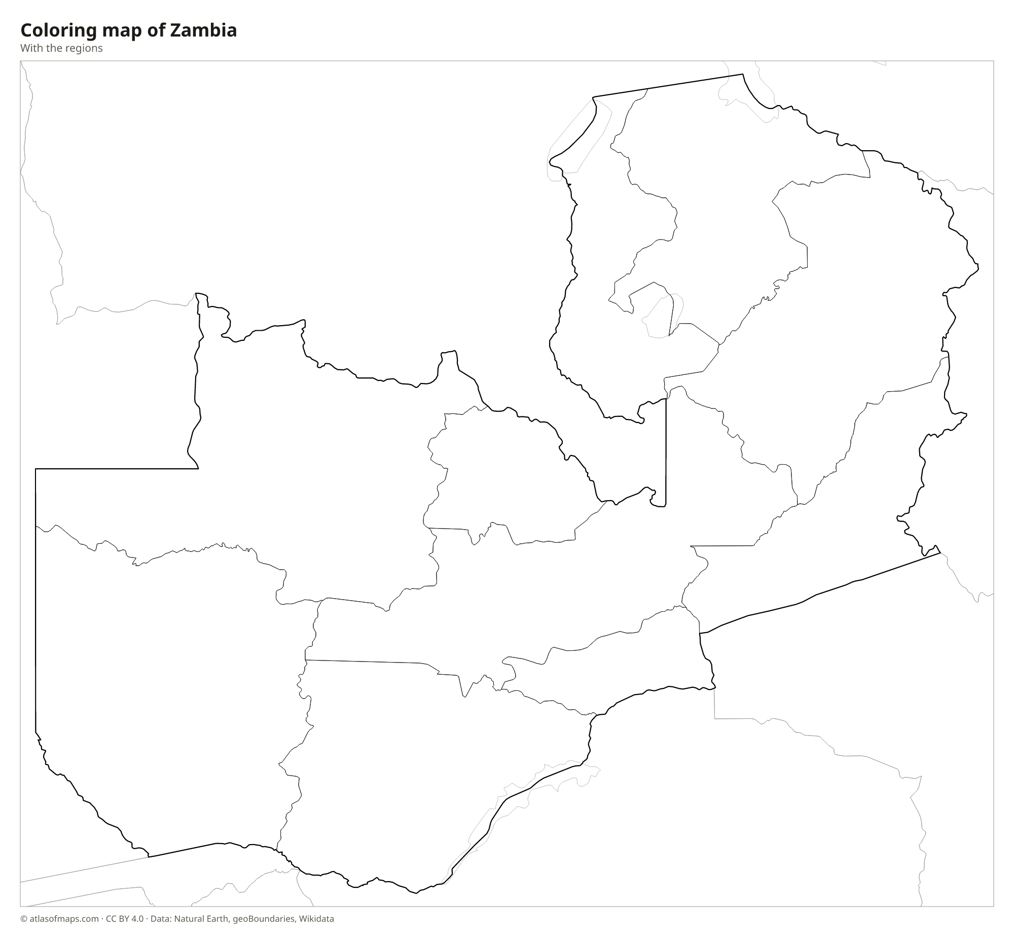
Blank and coloring maps of Zambia
Blank map of Zambia

Coloring map of Zambia

Geography of Zambia
Zambia covers about 752,618 km² (290,587 sq mi), and most of it is a high plateau of savanna and open woodland, cut by deep river valleys. The plateau rises toward the northeast, where the Mafinga Hills on the border with Malawi hold the highest point, Mafinga Central, at 2,339 m (7,674 ft). The Muchinga Mountains run along the edge of the wide Luangwa Valley, an offshoot of the East African Rift system. In the far west, near Angola, lie the flat floodplains of the upper Zambezi, known as the Barotse Plain.
The Zambezi River forms the southern border with Zimbabwe and plunges over Victoria Falls, called Mosi-oa-Tunya, the smoke that thunders, before filling Lake Kariba, a huge reservoir shared by the two countries. The Kafue and Luangwa rivers are major tributaries. In the north lie Lake Bangweulu and its swamps, Lake Mweru on the Congo border, and the southern tip of Lake Tanganyika. Thanks to its altitude, Zambia has a moderate tropical climate, with a hot dry season, a cool dry season and a rainy season from about November to April.
Fun facts
- Victoria Falls, on the border with Zimbabwe, is one of the largest waterfalls in the world by the width of its falling sheet of water.
- Lake Kariba is one of the largest artificial lakes in the world by volume.
- The Kazungula Bridge, opened in 2021, links Zambia and Botswana across the Zambezi River.
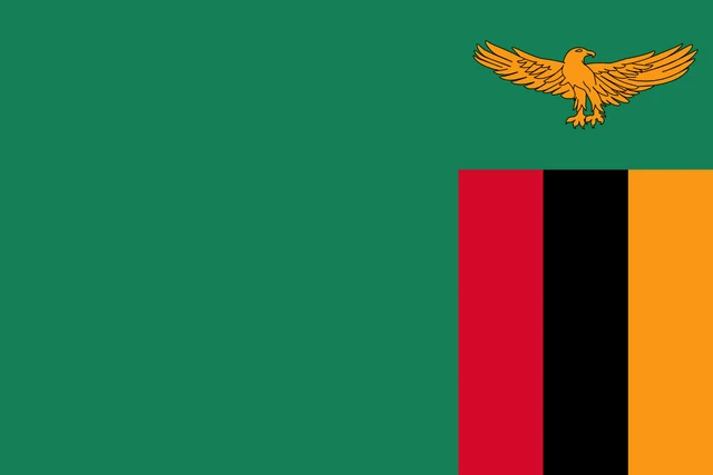
Flag of Zambia
The flag of Zambia is green with an orange eagle in flight in the upper fly corner. Below the eagle, at the bottom of the fly side, are three vertical stripes of red, black and orange, side by side. The eagle is an African fish eagle, the national bird.
Countries bordering Zambia
Frequently asked questions
What countries border Zambia?
Zambia borders the Democratic Republic of the Congo, Tanzania, Malawi, Mozambique, Zimbabwe, Namibia and Angola. It also meets Botswana along a very short stretch of the Zambezi River near Kazungula.
How many provinces does Zambia have?
Zambia has 10 provinces: Central, Copperbelt, Eastern, Luapula, Lusaka, Muchinga, Northern, North-Western, Southern and Western. Each province is divided into districts.
What is the capital of Zambia?
Lusaka is the capital and largest city of Zambia. It lies on the central plateau in the south-central part of the country.
What language is spoken in Zambia?
The official language is English.
Can I print the map of Zambia?
Yes. Every map on this page can be downloaded for free as PNG or PDF (US Letter) and printed, including the blank map and the coloring map. Please credit the source (Atlas of Maps, CC BY 4.0).
Use this map
You can download, print and share this map for free, in class, in school projects, in presentations and on websites, as long as you credit the source: Map of Zambia · Atlas of Maps (atlasofmaps.com), license CC BY 4.0.
See also: Map of Africa · World map