Map of Angola
Angola is a country in southern Africa, on the Atlantic coast. It borders Namibia to the south, Zambia to the east and the Democratic Republic of the Congo to the north and east, while its exclave of Cabinda also borders the Republic of the Congo. The political map shows its regions, the capital, Luanda, and major cities.

- Capital
- Luanda
- Population
- 36.7 million (2023)
- Area
- 1,246,700 km² (481,354 sq mi)
- Population density
- 29 per km² (76 per sq mi)
- Official language
- Portuguese
- Currency
- kwanza
- Demonym
- Angolan
- Highest point
- Mount Moco (2,619 m (8,593 ft))
- Calling code
- +244
- Internet domain
- .ao
- Official name
- Republic of Angola
Where is Angola?
Angola is a country in southern Africa, on the Atlantic coast. It borders Namibia to the south, Zambia to the east and the Democratic Republic of the Congo to the north and east, while its exclave of Cabinda also borders the Republic of the Congo.
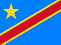
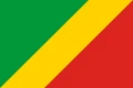
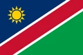
Neighboring countries: Democratic Republic of the Congo, Republic of the Congo, Namibia, Zambia.

Regions of Angola and their capitals
Angola is divided into provinces, each run from a provincial capital, and the exclave of Cabinda is one of them. The provinces on the map come from Natural Earth and may not reflect Angola's latest territorial reform, which created new provinces.
The divisions on the map come from Natural Earth and may not reflect the latest territorial reform in Angola.
| Region | Capital | Population | Area |
|---|---|---|---|
| Bengo | Dande | 716,335 | 20,310 km² (7,842 sq mi) |
| Benguela | Benguela | 2,597,638 | 39,826 km² (15,377 sq mi) |
| Bié | Kuito | 2,264,874 | 70,314 km² (27,148 sq mi) |
| Cabinda | Cabinda | 903,370 | 7,270 km² (2,807 sq mi) |
| Cuando Cubango | Menongue | 534,002 | 199,049 km² (76,853 sq mi) |
| Cuanza Norte | N'dalatando | 659,097 | 24,110 km² (9,309 sq mi) |
| Cuanza Sul | Sumbe | 2,327,981 | 55,600 km² (21,467 sq mi) |
| Cunene | Ondjiva | 1,806,417 | 87,342 km² (33,723 sq mi) |
| Huambo | Huambo | 2,691,902 | 34,274 km² (13,233 sq mi) |
| Huíla | Lubango | 3,302,866 | 79,022 km² (30,511 sq mi) |
| Luanda | Luanda | 8,816,297 | 18,826 km² (7,269 sq mi) |
| Lunda Norte | Dundo | 1,742,217 | 103,760 km² (40,062 sq mi) |
| Lunda Sul | Saurimo | 893,936 | 77,637 km² (29,976 sq mi) |
| Malanje | Malanje | 1,298,250 | 97,602 km² (37,684 sq mi) |
| Moxico | Luena | 574,253 | 126,432 km² (48,816 sq mi) |
| Namibe | Moçâmedes | 815,708 | 57,091 km² (22,043 sq mi) |
| Uíge | Uíge | 2,017,921 | 58,698 km² (22,663 sq mi) |
| Zaire | M'banza-Kongo | 682,658 | 40,130 km² (15,494 sq mi) |
Population from Wikidata (latest figure available for each region).
Blank and coloring maps of Angola
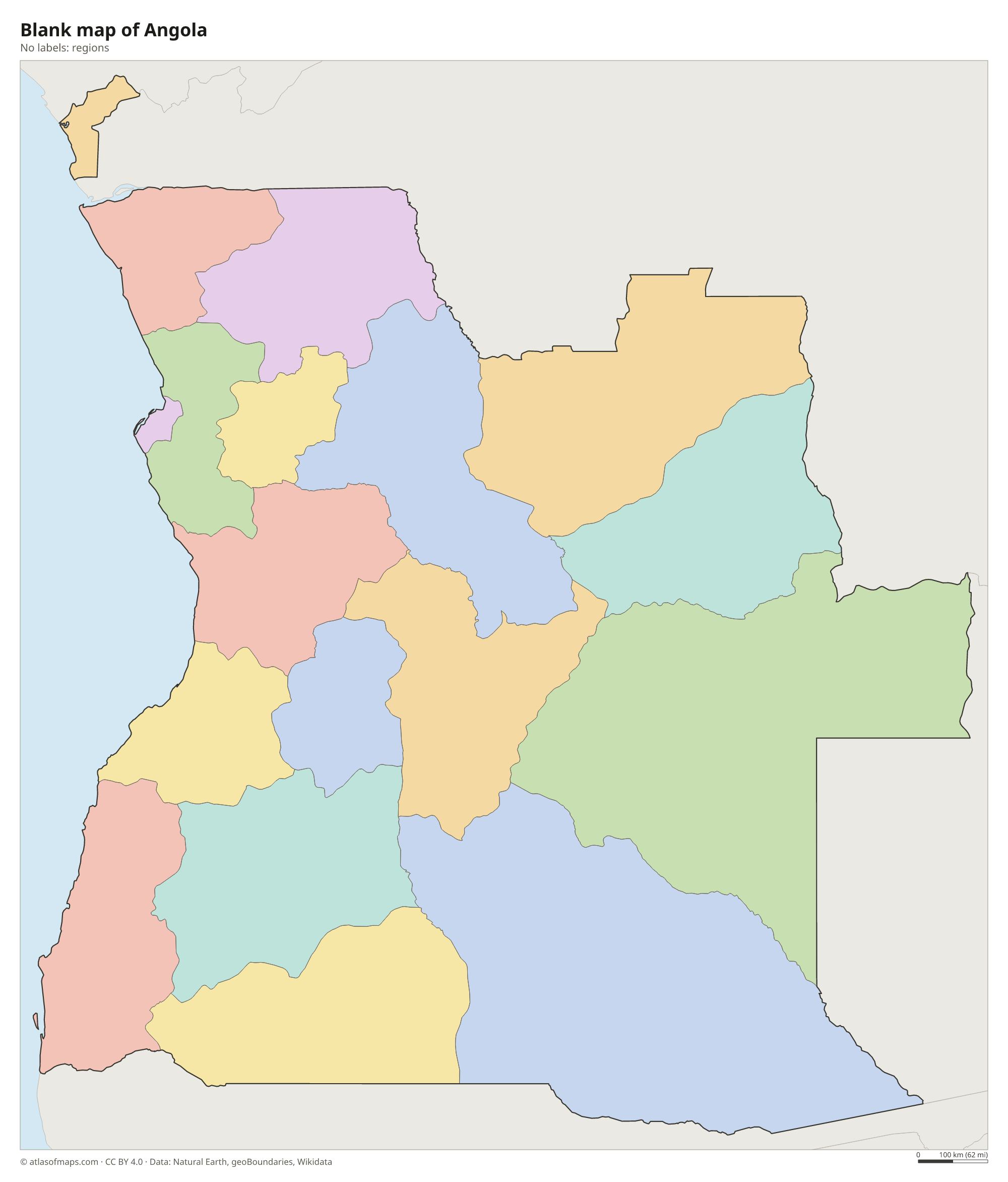
Blank map of Angola

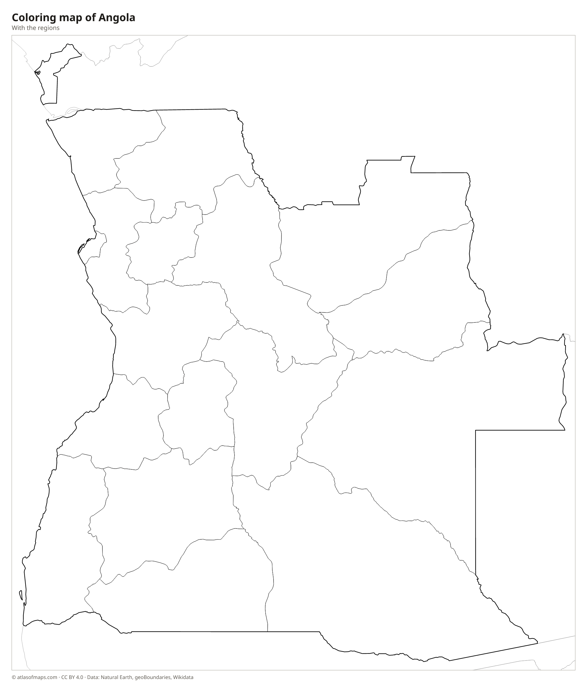
Coloring map of Angola

Geography of Angola
Angola covers 1,246,700 km² (481,354 sq mi). A narrow, dry coastal plain runs along the Atlantic, and behind it the land climbs in steps to a high central plateau, the Bié Plateau, which covers much of the interior. The highest point, Mount Moco, reaches 2,619 m (8,593 ft) in the western highlands of Huambo Province. In the far southwest, the Namib Desert crosses the border from Namibia, while the north and northeast are covered by tropical forest and savanna.
Several of southern Africa's great rivers rise on the Angolan plateau. The Kwanza flows north and west to the Atlantic south of Luanda, the Cunene forms part of the border with Namibia, and the Cubango (Okavango) runs southeast toward the Okavango Delta in Botswana. In the north, the Congo River forms part of the border with the Democratic Republic of the Congo. The climate is tropical, with a rainy season in summer, but the cold Benguela Current keeps the coast cool and dry. About 36.7 million people (2023) live in Angola.
Fun facts
- Cabinda, an exclave north of the Congo River, is separated from the rest of Angola by a narrow strip of the Democratic Republic of the Congo.
- Angola's currency, the kwanza, takes its name from the Kwanza River.
- Angola's Atlantic coastline stretches from Cabinda in the north to the mouth of the Cunene River on the Namibian border.
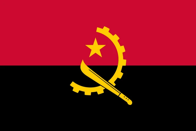
Flag of Angola
The flag of Angola has two equal horizontal bands, red on top and black below. In the center is a yellow emblem made of half a cogwheel crossed by a machete, with a five-pointed star between them. The design recalls the hammer and sickle and is based on the flag of the MPLA, the movement that led the country at independence.
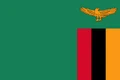
Countries bordering Angola
Frequently asked questions
What countries border Angola?
Angola borders Namibia, Zambia and the Democratic Republic of the Congo. Its exclave of Cabinda, north of the Congo River, also borders the Republic of the Congo.
What is the capital of Angola?
The capital is Luanda, a large port city on the Atlantic coast in the north of the mainland. It is also Angola's largest city and its main economic center.
What ocean is Angola on?
Angola lies on the South Atlantic Ocean. Its coast runs for well over 1,000 km (620 mi), from Cabinda in the north to the Cunene River on the Namibian border.
What language is spoken in Angola?
The official language is Portuguese.
Can I print the map of Angola?
Yes. Every map on this page can be downloaded for free as PNG or PDF (US Letter) and printed, including the blank map and the coloring map. Please credit the source (Atlas of Maps, CC BY 4.0).
Use this map
You can download, print and share this map for free, in class, in school projects, in presentations and on websites, as long as you credit the source: Map of Angola · Atlas of Maps (atlasofmaps.com), license CC BY 4.0.
See also: Map of Africa · World map