Map of Paraguay with departments and capitals
Paraguay is a landlocked country in the center of South America. It borders Argentina to the south and southwest, Brazil to the east and Bolivia to the northwest, and it reaches the sea only by river. The political map shows its 18 departments, the capital, Asunción, and major cities.

- Capital
- Asunción
- Population
- 6.8 million (2017)
- Area
- 406,756 km² (157,049 sq mi)
- Population density
- 17 per km² (43 per sq mi)
- Official languages
- Spanish and Guarani
- Currency
- Paraguayan guaraní
- Demonym
- Paraguayan
- Departments
- 18
- Highest point
- Cerro Tres Kandú (842 m (2,762 ft))
- Calling code
- +595
- Internet domain
- .py
Where is Paraguay?
Paraguay is a landlocked country in the center of South America. It borders Argentina to the south and southwest, Brazil to the east and Bolivia to the northwest, and it reaches the sea only by river.

Departments of Paraguay and their capitals
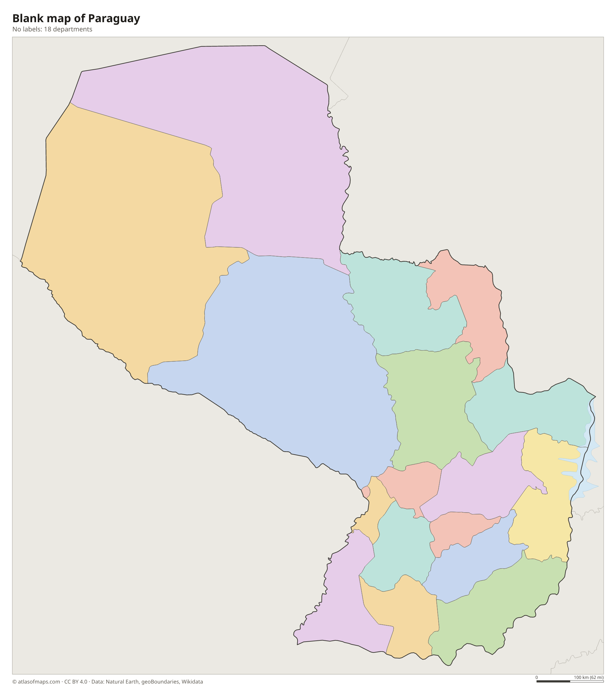
The map divides Paraguay into 18 units: 17 departments and the capital district of Asunción. Most departments lie in the eastern region, while three large ones, Presidente Hayes, Boquerón and Alto Paraguay, cover the Chaco.
| Department | Capital | Population | Area |
|---|---|---|---|
| Alto Paraguay | Fuerte Olimpo | 17,608 | 82,349 km² (31,795 sq mi) |
| Alto Paraná | Ciudad del Este | 784,839 | 14,895 km² (5,751 sq mi) |
| Amambay | Pedro Juan Caballero | 173,770 | 12,933 km² (4,993 sq mi) |
| Asunción | Asunción | 462,241 | 117 km² (45 sq mi) |
| Boquerón | Filadelfia | 68,595 | 91,669 km² (35,394 sq mi) |
| Caaguazú | Coronel Oviedo | 430,142 | 11,474 km² (4,430 sq mi) |
| Caazapá | Caazapá | 140,060 | 9,496 km² (3,666 sq mi) |
| Canindeyú | Saltos del Guairá | 189,128 | 14,667 km² (5,663 sq mi) |
| Central | Areguá | 1,866,562 | 2,465 km² (952 sq mi) |
| Concepción | Concepción | 204,536 | 18,051 km² (6,970 sq mi) |
| Cordillera | Caacupé | 271,475 | 4,948 km² (1,910 sq mi) |
| Guairá | Villarrica | 180,121 | 3,846 km² (1,485 sq mi) |
| Itapúa | Encarnación | 436,966 | 16,525 km² (6,380 sq mi) |
| Misiones | San Juan Bautista | 114,542 | 9,556 km² (3,690 sq mi) |
| Ñeembucú | Pilar | 85,749 | 12,147 km² (4,690 sq mi) |
| Paraguarí | Paraguarí | 199,430 | 8,705 km² (3,361 sq mi) |
| Presidente Hayes | Villa Hayes | 126,880 | 72,907 km² (28,150 sq mi) |
| San Pedro | San Pedro de Ycuamandiyú | 341,895 | 20,002 km² (7,723 sq mi) |
Population from Wikidata (latest figure available for each department).
Blank and coloring maps of Paraguay
Blank map of Paraguay

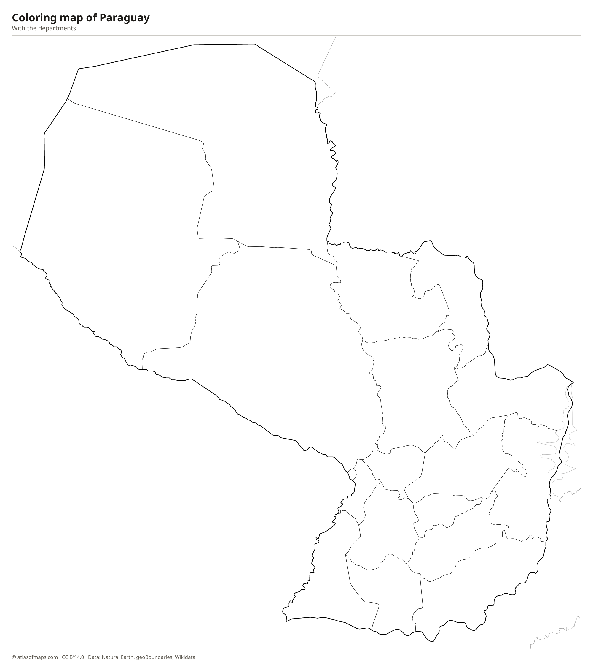
Coloring map of Paraguay

Geography of Paraguay
The Paraguay River splits the country into two very different halves. West of the river lies the Gran Chaco, a vast, flat and thinly populated plain of dry forest, thorn scrub, grassland and seasonal wetlands that covers most of the national territory. East of the river is the smaller eastern region, with rolling hills, low plateaus and fertile red soils, where most Paraguayans live. Its uplands include the Amambay and Mbaracayú ranges along the Brazilian border, and the highest point, Cerro Tres Kandú, reaches only 842 m (2,762 ft).
The Paraná River forms much of the border with Brazil and Argentina. On it stand the Itaipú Dam, shared with Brazil, and the Yacyretá Dam, shared with Argentina, which together produce far more electricity than Paraguay uses. The Pilcomayo River marks part of the border with Argentina in the Chaco. The climate is subtropical in the east, with hot, humid summers and mild winters, and semi-arid in the western Chaco, which can be extremely hot in summer. The edge of the Pantanal wetlands reaches into the far north of the country.
Fun facts
- Paraguay has two official languages, Spanish and Guarani, and a large share of the population speaks Guarani.
- The Itaipú Dam on the Paraná River, shared with Brazil, is one of the largest hydroelectric plants in the world.
- Although it is landlocked, Paraguay has a navy that patrols its rivers.
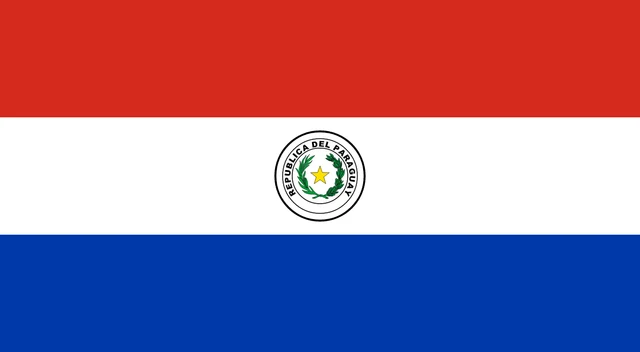
Flag of Paraguay
The flag of Paraguay has three equal horizontal stripes of red, white and blue, with an emblem in the center of the white stripe. The two sides are different. The front shows the national coat of arms, a yellow star inside a wreath of palm and olive branches; the back shows the treasury seal, a lion below a red cap of liberty with the motto Paz y Justicia.
Countries bordering Paraguay
Frequently asked questions
What countries border Paraguay?
Paraguay borders three countries: Argentina to the south and southwest, Brazil to the east and Bolivia to the northwest. Along with Bolivia, it is one of the two landlocked countries of South America.
How many departments does Paraguay have?
Paraguay has 17 departments plus the capital district of Asunción, which makes 18 units on the map. The three departments of the Chaco are by far the largest by area.
Does Paraguay have a coast?
No. Paraguay is landlocked, but river boats reach the Atlantic Ocean through the Paraguay and Paraná rivers, which flow south through Argentina to the Río de la Plata.
What is the capital of Paraguay?
The capital of Paraguay is Asunción.
What language is spoken in Paraguay?
The official languages are Spanish and Guarani.
Can I print the map of Paraguay?
Yes. Every map on this page can be downloaded for free as PNG or PDF (US Letter) and printed, including the blank map and the coloring map. Please credit the source (Atlas of Maps, CC BY 4.0).
Use this map
You can download, print and share this map for free, in class, in school projects, in presentations and on websites, as long as you credit the source: Map of Paraguay · Atlas of Maps (atlasofmaps.com), license CC BY 4.0.
See also: Map of South America · Map of Latin America · World map