Map of Argentina with provinces and capitals
Argentina is a large country in southern South America, stretching from the tropics to the tip of the continent. It borders Chile to the west, Bolivia and Paraguay to the north, Brazil and Uruguay to the northeast, and the Atlantic Ocean to the east. The political map shows its 23 provinces and the Autonomous City of Buenos Aires, the capital, Buenos Aires, and major cities.

- Capital
- Buenos Aires
- Population
- 47.3 million (2022)
- Area
- 2,780,400 km² (1,073,518 sq mi)
- Population density
- 17 per km² (44 per sq mi)
- Official language
- Spanish
- Currency
- Argentine convertible peso
- Demonym
- Argentinian
- Divisions
- 23 provinces and the Autonomous City of Buenos Aires
- Highest point
- Aconcagua (6,962 m (22,841 ft))
- Calling code
- +54
- Internet domain
- .ar
- Official name
- Republic of Argentina
Where is Argentina?
Argentina is a large country in southern South America, stretching from the tropics to the tip of the continent. It borders Chile to the west, Bolivia and Paraguay to the north, Brazil and Uruguay to the northeast, and the Atlantic Ocean to the east.
Neighboring countries: Bolivia, Brazil, Chile, Paraguay, Uruguay.

Provinces of Argentina and their capitals
Argentina is divided into 23 provinces and the Autonomous City of Buenos Aires, the capital, which is separate from the surrounding Buenos Aires Province. Argentina also claims the Falkland Islands (Islas Malvinas), which are administered by the United Kingdom, and a sector of Antarctica.
| Province | Capital | Population | Area |
|---|---|---|---|
| Buenos Aires | La Plata | 17,523,996 | 307,571 km² (118,754 sq mi) |
| Catamarca | San Fernando del Valle de Catamarca | 429,562 | 102,602 km² (39,615 sq mi) |
| Chaco | Resistencia | 1,129,606 | 99,633 km² (38,469 sq mi) |
| Chubut | Rawson | 592,621 | 224,686 km² (86,752 sq mi) |
| Ciudad de Buenos Aires | Ciudad de Buenos Aires | 3,121,707 | 203 km² (78 sq mi) |
| Córdoba | Córdoba | 3,840,905 | 165,321 km² (63,831 sq mi) |
| Corrientes | Corrientes | 1,212,696 | 88,199 km² (34,054 sq mi) |
| Entre Ríos | Paraná | 1,425,578 | 78,781 km² (30,418 sq mi) |
| Formosa | Formosa | 607,419 | 72,066 km² (27,825 sq mi) |
| Jujuy | San Salvador de Jujuy | 811,611 | 53,219 km² (20,548 sq mi) |
| La Pampa | Santa Rosa | 361,859 | 143,440 km² (55,382 sq mi) |
| La Rioja | La Rioja | 383,865 | 89,680 km² (34,626 sq mi) |
| Mendoza | Mendoza | 2,043,540 | 148,827 km² (57,462 sq mi) |
| Misiones | Posadas | 1,278,873 | 29,801 km² (11,506 sq mi) |
| Neuquén | Neuquén | 710,814 | 94,078 km² (36,324 sq mi) |
| Río Negro | Viedma | 750,768 | 203,013 km² (78,384 sq mi) |
| Salta | Salta | 1,441,351 | 155,488 km² (60,034 sq mi) |
| San Juan | San Juan | 822,853 | 89,651 km² (34,614 sq mi) |
| San Luis | San Luis | 542,069 | 76,748 km² (29,633 sq mi) |
| Santa Cruz | Río Gallegos | 337,226 | 243,943 km² (94,187 sq mi) |
| Santa Fe | Santa Fe | 3,544,908 | 133,007 km² (51,354 sq mi) |
| Santiago del Estero | Santiago del Estero | 1,060,906 | 136,351 km² (52,645 sq mi) |
| Tierra del Fuego | Ushuaia | 185,732 | 987,168 km² (381,148 sq mi) |
| Tucumán | San Miguel de Tucumán | 1,731,820 | 22,524 km² (8,697 sq mi) |
Population from Wikidata (latest figure available for each province).
Blank and coloring maps of Argentina
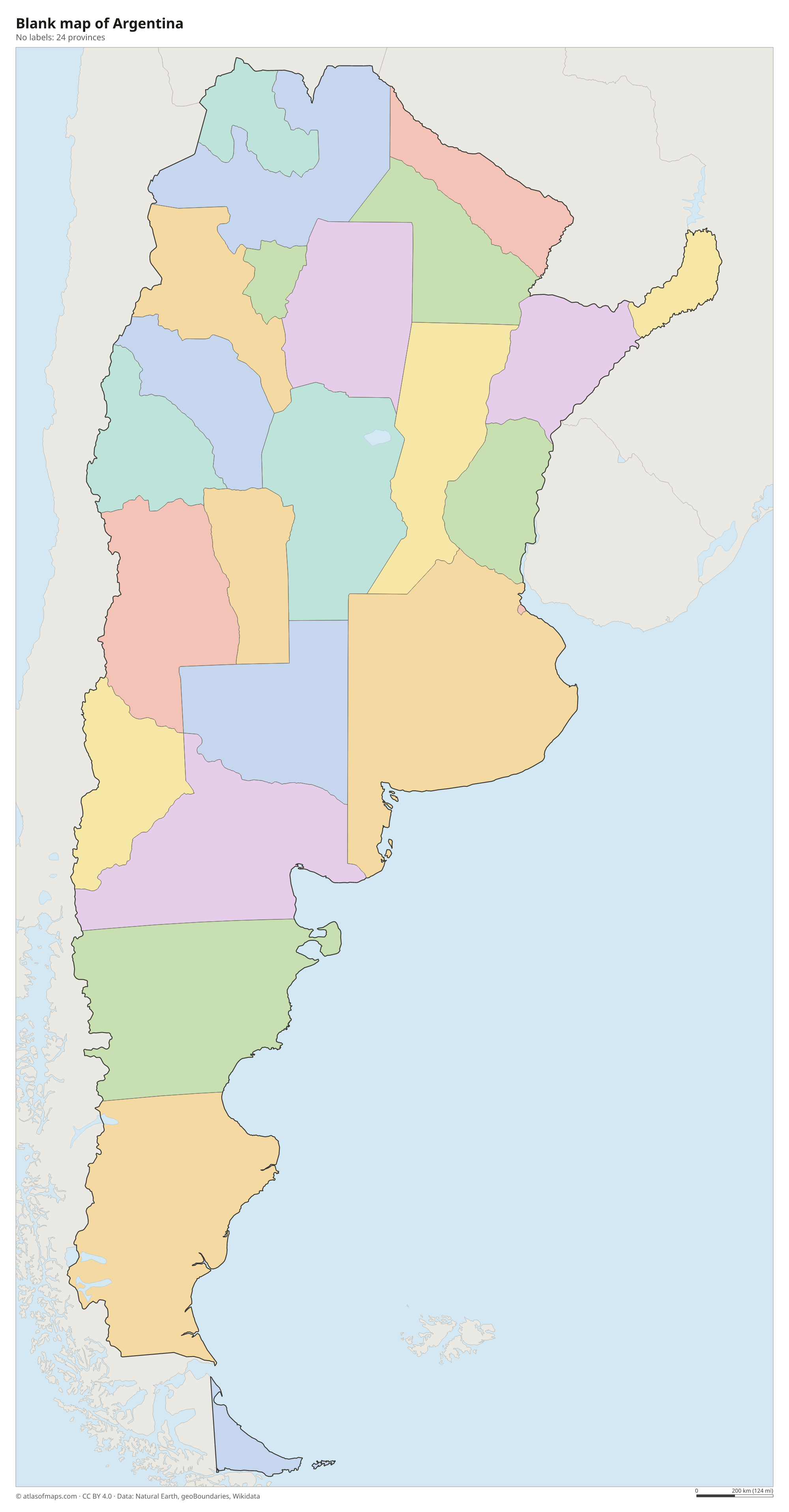
Blank map of Argentina

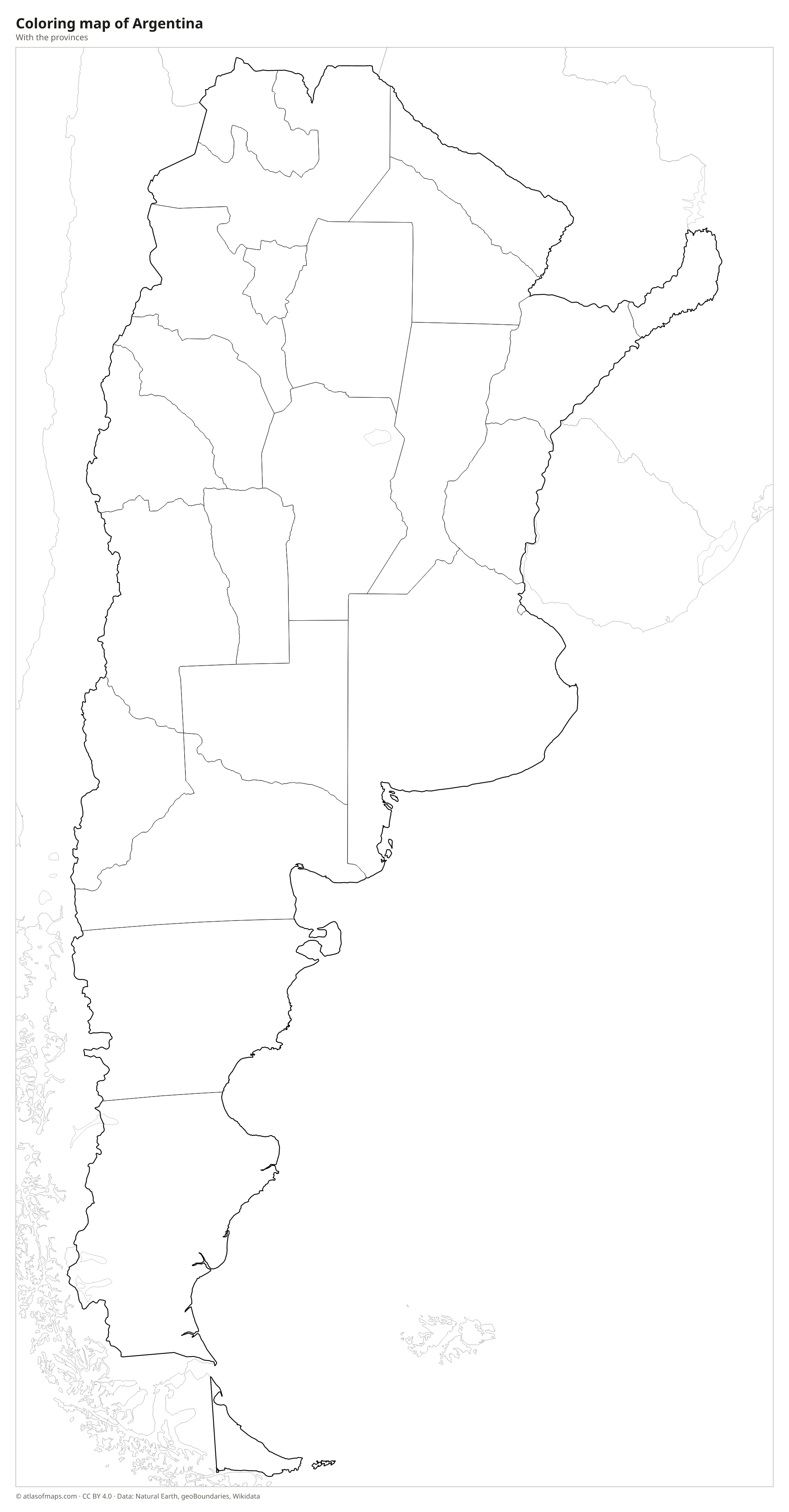
Coloring map of Argentina

Geography of Argentina
Argentina covers 2,780,400 km² (1,073,518 sq mi), making it the eighth-largest country in the world. The Andes run along the whole western border, and Aconcagua, at 6,962 m (22,841 ft), is the highest mountain in the Americas. East of the mountains lie the Pampas, vast flat grasslands that are the country's farming heartland. The Gran Chaco covers the hot lowlands of the north, and Patagonia, a dry, windy region of plateaus and steppe, fills the south down to Tierra del Fuego, an island shared with Chile.
The Paraná and Uruguay rivers meet to form the Río de la Plata, a wide estuary on which Buenos Aires stands. On the border with Brazil, the Iguazú River drops over the Iguazú Falls, a chain of hundreds of waterfalls. In the southern Andes, Los Glaciares National Park holds the Perito Moreno Glacier and other glaciers of the Southern Patagonian Ice Field. The climate ranges from subtropical in the north to cold in Tierra del Fuego, with dry areas west of the Pampas. About 47.3 million people (2022) live in Argentina.
Fun facts
- Aconcagua is the highest mountain outside Asia and the highest peak in both the Southern and Western Hemispheres.
- Ushuaia, on Tierra del Fuego, is often called the southernmost city in the world and is a starting point for ships to Antarctica.
- Argentina is the second-largest country in South America after Brazil and the largest Spanish-speaking country in the world by area.
Flag of Argentina
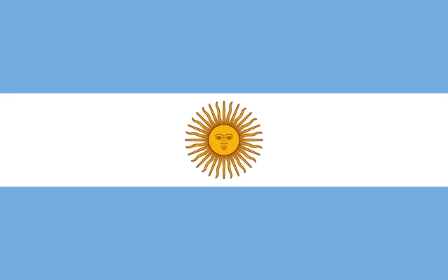
The flag of Argentina has three equal horizontal bands: light blue, white and light blue. In the center of the white band is the Sun of May, a golden sun with a human face surrounded by 32 rays that alternate between straight and wavy. The sun appears on the official flag, while a plain version without it is also widely flown.
Countries bordering Argentina
Frequently asked questions
What countries border Argentina?
Argentina borders five countries: Chile, Bolivia, Paraguay, Brazil and Uruguay. The border with Chile follows the Andes for most of its length and is one of the longest land borders in the world.
How many provinces does Argentina have?
Argentina has 23 provinces plus the Autonomous City of Buenos Aires, which has its own government. The most populous province is Buenos Aires Province, which surrounds the capital.
What is the highest mountain in Argentina?
Aconcagua, in Mendoza Province near the Chilean border, is the highest mountain in Argentina at 6,962 m (22,841 ft). It is also the highest peak in the Americas.
What is the capital of Argentina?
The capital of Argentina is Buenos Aires.
What language is spoken in Argentina?
The official language is Spanish.
Can I print the map of Argentina?
Yes. Every map on this page can be downloaded for free as PNG or PDF (US Letter) and printed, including the blank map and the coloring map. Please credit the source (Atlas of Maps, CC BY 4.0).
Use this map
You can download, print and share this map for free, in class, in school projects, in presentations and on websites, as long as you credit the source: Map of Argentina · Atlas of Maps (atlasofmaps.com), license CC BY 4.0.
See also: Map of South America · Map of Latin America · World map