Map of Bolivia with departments and capitals
Bolivia is a landlocked country in central South America. It borders Brazil to the north and east, Paraguay to the southeast, Argentina to the south, Chile to the southwest and Peru to the west. The political map shows its 9 departments, the capital, Sucre and La Paz, and major cities.

- Capital
- Sucre and La Paz
- Population
- 12.2 million (2023)
- Area
- 1,098,581 km² (424,164 sq mi)
- Population density
- 11 per km² (29 per sq mi)
- Official languages
- Spanish, Aymara, Quechua, and Guarani
- Currency
- boliviano
- Demonym
- Bolivian
- Departments
- 9
- Highest point
- Nevado Sajama (6,542 m (21,463 ft))
- Calling code
- +591
- Internet domain
- .bo
- Official name
- Plurinational State of Bolivia
Where is Bolivia?
Bolivia is a landlocked country in central South America. It borders Brazil to the north and east, Paraguay to the southeast, Argentina to the south, Chile to the southwest and Peru to the west.
Neighboring countries: Argentina, Brazil, Chile, Peru, Paraguay.

Departments of Bolivia and their capitals
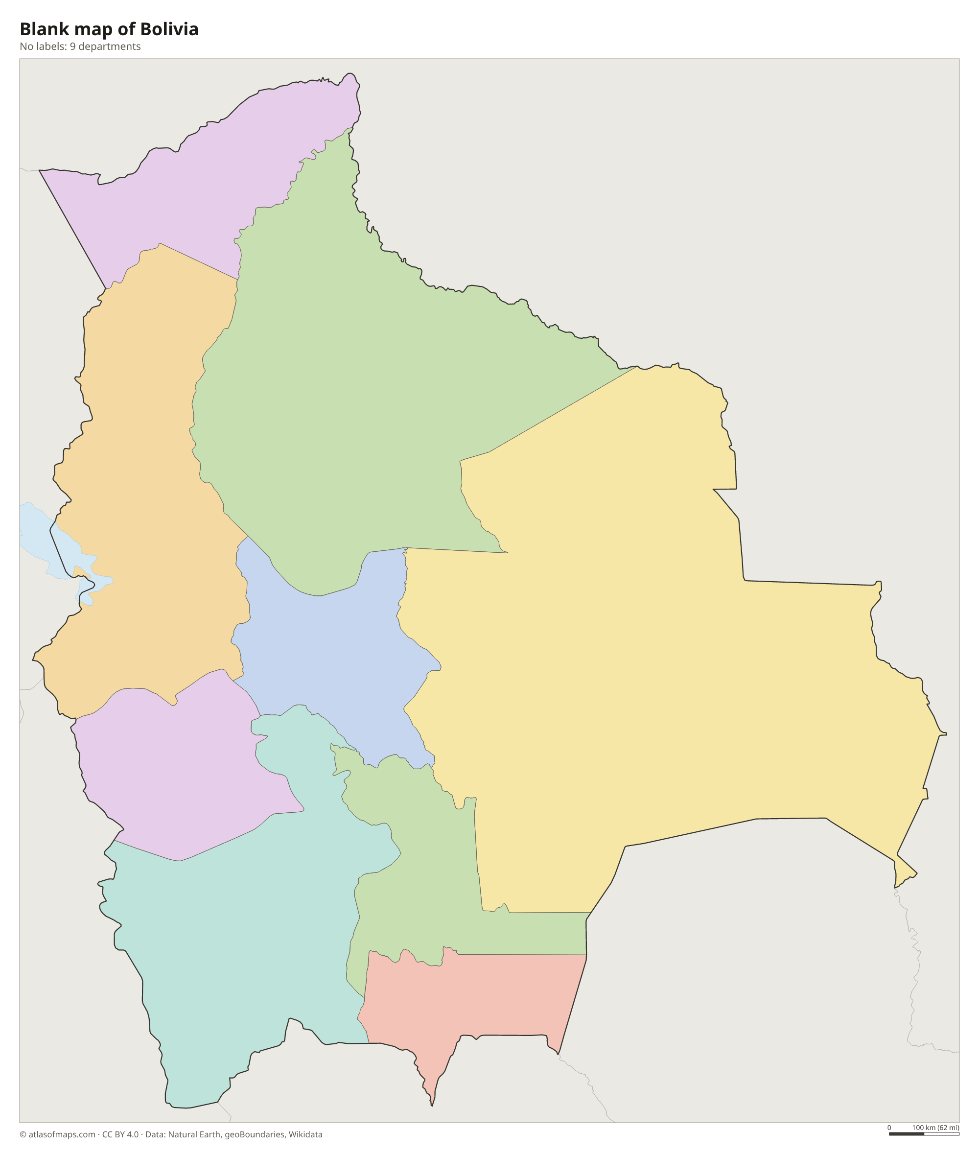
Bolivia is divided into 9 departments: La Paz, Oruro and Potosí in the highlands, Cochabamba, Chuquisaca and Tarija in the valleys, and Santa Cruz, Beni and Pando in the lowlands. Santa Cruz is the largest by area.
| Department | Capital | Population | Area |
|---|---|---|---|
| Beni | Trinidad | 488,260 | 213,564 km² (82,458 sq mi) |
| Chuquisaca | Sucre | 606,027 | 51,524 km² (19,894 sq mi) |
| Cochabamba | Cochabamba | 2,016,357 | 55,631 km² (21,479 sq mi) |
| La Paz | La Paz | 3,030,917 | 133,985 km² (51,732 sq mi) |
| Oruro | Oruro | 571,471 | 53,588 km² (20,690 sq mi) |
| Pando | Cobija | 134,194 | 63,827 km² (24,644 sq mi) |
| Potosí | Potosí | 861,292 | 118,218 km² (45,644 sq mi) |
| Santa Cruz | Santa Cruz de la Sierra | 3,122,605 | 370,621 km² (143,098 sq mi) |
| Tarija | Tarija | 534,210 | 37,623 km² (14,526 sq mi) |
Population from Wikidata (latest figure available for each department).
Blank and coloring maps of Bolivia
Blank map of Bolivia

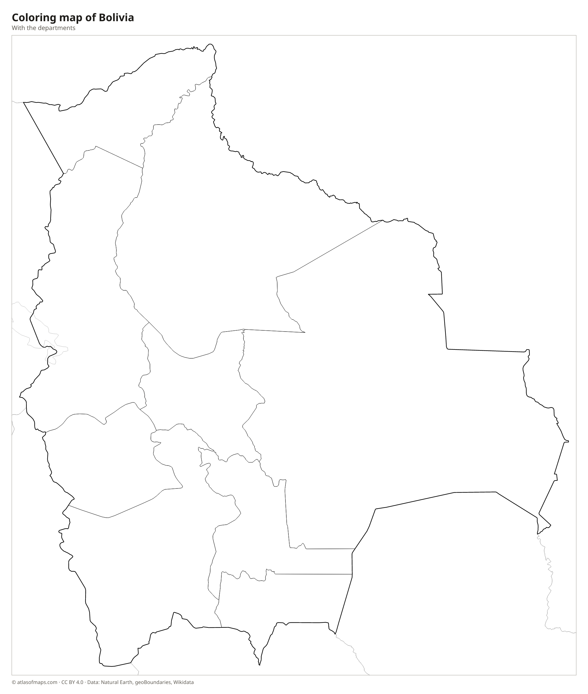
Coloring map of Bolivia

Geography of Bolivia
Bolivia covers 1,098,581 km² (424,164 sq mi). In the west, the Andes split into two great ranges, the Cordillera Occidental and the Cordillera Oriental, with the Altiplano, a vast high plateau, between them. The highest point, the volcano Nevado Sajama, rises to 6,542 m (21,463 ft) near the Chilean border. On the eastern slopes, steep, forested valleys called the Yungas drop toward the lowlands. The east and north, more than half of the country, are tropical plains covered by Amazon rainforest, savannas and the dry forests of the Gran Chaco.
Lake Titicaca, on the border with Peru, lies on the Altiplano and is often called the highest navigable lake in the world. To the south, the Salar de Uyuni is the largest salt flat on Earth. Rivers in the north, such as the Mamoré, Beni and Madre de Dios, flow into the Amazon basin, while the Pilcomayo and Paraguay drain the southeast toward the Río de la Plata. The climate depends on altitude: cold and dry on the Altiplano, mild in the valleys, and hot and humid in the lowlands. About 12.2 million people (2023) live in Bolivia.
Fun facts
- Salar de Uyuni, the largest salt flat in the world, turns into a giant natural mirror when it is covered by a thin layer of rainwater.
- La Paz, the seat of government, lies more than 3,500 m (11,500 ft) above sea level and is often called the highest seat of government in the world.
- Santa Cruz de la Sierra, in the eastern lowlands, is Bolivia's largest city.
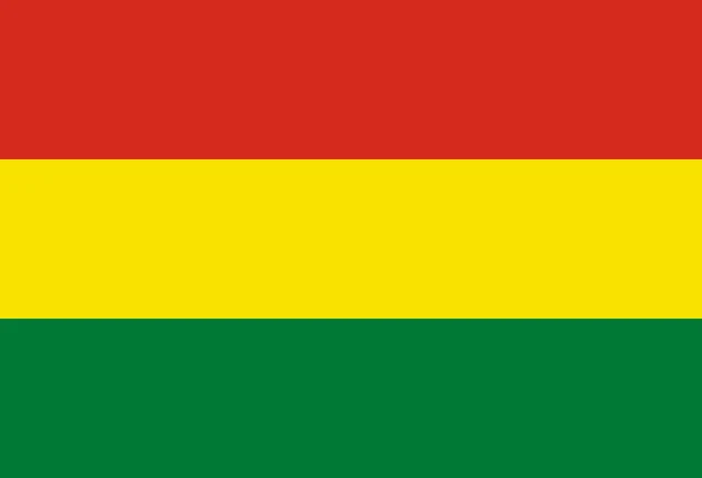
Flag of Bolivia
The flag of Bolivia has three equal horizontal bands of red, yellow and green. The state flag, used by the government, adds the national coat of arms in the center: an oval showing the silver mountain of Potosí, an alpaca and a breadfruit tree under a rising sun, framed by flags and topped by a condor.
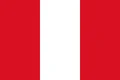
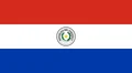
Countries bordering Bolivia
Frequently asked questions
What is the capital of Bolivia?
Bolivia has two capitals. Sucre is the constitutional capital and seat of the supreme court, while La Paz is the seat of the government and the national legislature.
How many departments does Bolivia have?
Bolivia has 9 departments: Beni, Chuquisaca, Cochabamba, La Paz, Oruro, Pando, Potosí, Santa Cruz and Tarija.
Why is Bolivia landlocked?
Bolivia once had a coast on the Pacific Ocean, but it lost this land to Chile in the War of the Pacific (1879-1884). Since then it has been landlocked, like Paraguay, its neighbor.
What countries border Bolivia?
Bolivia shares land borders with Argentina, Brazil, Chile, Peru, and Paraguay.
What language is spoken in Bolivia?
The official languages are Spanish, Aymara, Quechua, and Guarani.
Can I print the map of Bolivia?
Yes. Every map on this page can be downloaded for free as PNG or PDF (US Letter) and printed, including the blank map and the coloring map. Please credit the source (Atlas of Maps, CC BY 4.0).
Use this map
You can download, print and share this map for free, in class, in school projects, in presentations and on websites, as long as you credit the source: Map of Bolivia · Atlas of Maps (atlasofmaps.com), license CC BY 4.0.
See also: Map of South America · Map of Latin America · World map