Map of Slovenia with statistical regions and capitals
Slovenia is a small country in Central Europe, where the Alps meet the Mediterranean, the Pannonian Plain and the Balkans. It borders Italy to the west, Austria to the north, Hungary to the northeast and Croatia to the south, and has a short Adriatic coast. The political map shows its 12 statistical regions, the capital, Ljubljana, and major cities.

- Capital
- Ljubljana
- Population
- 2.1 million (2018)
- Area
- 20,271 km² (7,827 sq mi)
- Population density
- 102 per km² (264 per sq mi)
- Official language
- Slovene
- Currency
- euro
- Demonym
- Slovene
- Statistical Regions
- 12
- Highest point
- Triglav (2,864 m (9,396 ft))
- Calling code
- +386
- Internet domain
- .si
Where is Slovenia?
Slovenia is a small country in Central Europe, where the Alps meet the Mediterranean, the Pannonian Plain and the Balkans. It borders Italy to the west, Austria to the north, Hungary to the northeast and Croatia to the south, and has a short Adriatic coast.

Statistical Regions of Slovenia
The map shows Slovenia's 12 statistical regions, such as Osrednjeslovenska around Ljubljana and Podravska around Maribor. They are used for statistics and planning; Slovenia has no provinces, and local government is organized in municipalities.
| Region |
|---|
| Gorenjska |
| Goriška |
| Jugovzhodna Slovenija |
| Koroška |
| Notranjsko-kraška |
| Obalno-kraška |
| Osrednjeslovenska |
| Podravska |
| Pomurska |
| Savinjska |
| Spodnjeposavska |
| Zasavska |
Blank and coloring maps of Slovenia
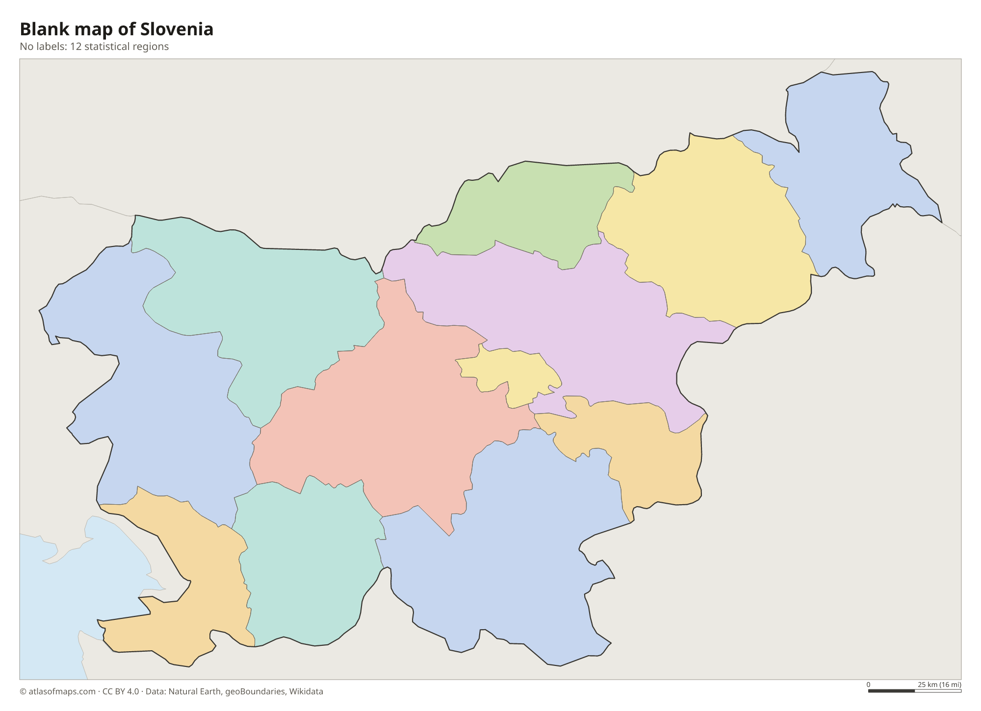
Blank map of Slovenia

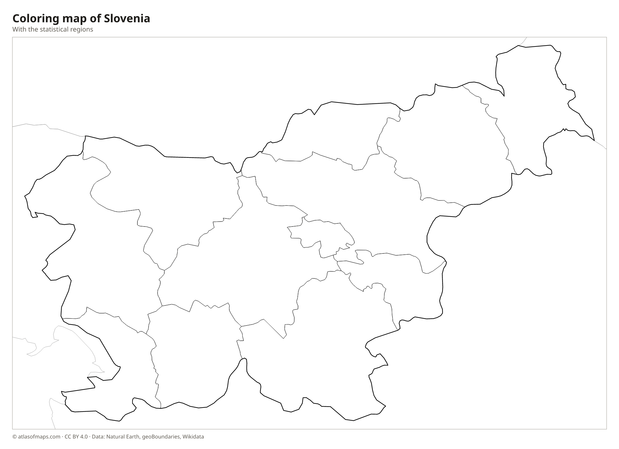
Coloring map of Slovenia

Geography of Slovenia
Slovenia packs very different landscapes into a small area. The Julian Alps in the northwest hold Triglav, the highest point at 2,864 m (9,396 ft), and the alpine lakes of Bled and Bohinj. The Karawanks and the Kamnik-Savinja Alps run along the Austrian border. In the southwest, the Karst plateau gave its name to karst landscapes worldwide, with sinkholes, underground rivers and caves such as Postojna and Škocjan. The east is lower, with hills and vineyards that descend to the plains along the Mura River.
The Sava, Slovenia's longest river, flows from the Julian Alps past Ljubljana toward Croatia, and the Drava and Mura cross the northeast. The emerald Soča River runs through a deep valley in the west toward the Adriatic. The coast is very short, with the towns of Koper and Piran on the Gulf of Trieste. Forests cover more than half of the country. The climate ranges from Mediterranean on the coast to alpine in the mountains and continental in the east.
Fun facts
- The Škocjan Caves, with an enormous underground canyon carved by the Reka River, are a UNESCO World Heritage Site.
- Slovenia's coastline on the Adriatic Sea is less than 50 km (31 mi) long.
- Ljubljana, the capital, lies roughly in the center of the country, on the Ljubljanica River.
Flag of Slovenia
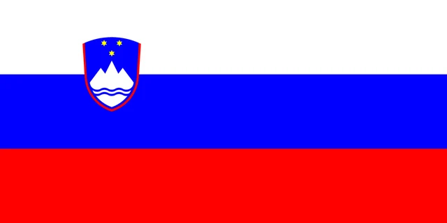
The flag of Slovenia has three equal horizontal stripes of white, blue and red. In the upper hoist part, straddling the white and blue stripes, is the coat of arms: a blue shield edged in red showing the white peaks of Triglav above two wavy blue lines, with three gold six-pointed stars above the mountain.
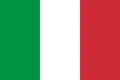
Countries bordering Slovenia
Frequently asked questions
What countries border Slovenia?
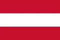
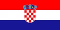
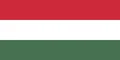
Slovenia borders four countries: Italy to the west, Austria to the north, Hungary to the northeast and Croatia to the south and east. It also has a short coast on the Adriatic Sea.
How many regions does Slovenia have?
Slovenia has 12 statistical regions, which are shown on the map. They do not have governments of their own; local administration is handled by municipalities.
What is the highest mountain in Slovenia?
The highest mountain is Triglav in the Julian Alps, at 2,864 m (9,396 ft). It is a national symbol, appears on the coat of arms and gives its name to Triglav National Park.
What is the capital of Slovenia?
The capital of Slovenia is Ljubljana.
What language is spoken in Slovenia?
The official language is Slovene.
Can I print the map of Slovenia?
Yes. Every map on this page can be downloaded for free as PNG or PDF (US Letter) and printed, including the blank map and the coloring map. Please credit the source (Atlas of Maps, CC BY 4.0).
Use this map
You can download, print and share this map for free, in class, in school projects, in presentations and on websites, as long as you credit the source: Map of Slovenia · Atlas of Maps (atlasofmaps.com), license CC BY 4.0.
See also: Map of Europe · Map of the European Union · World map