Map of Hungary with regions and capitals
Hungary is a landlocked country in Central Europe, in the Carpathian Basin. It borders Austria, Slovakia, Ukraine, Romania, Serbia, Croatia and Slovenia, and the Danube River flows through its center from north to south. The political map shows its 43 regions, the capital, Budapest, and major cities.

- Capital
- Budapest
- Population
- 9.6 million (2022)
- Area
- 93,011 km² (35,912 sq mi)
- Population density
- 103 per km² (267 per sq mi)
- Official language
- Hungarian
- Currency
- forint
- Demonym
- Hungarian
- Regions
- 43
- Highest point
- Kékes (1,014 m (3,327 ft))
- Calling code
- +36
- Internet domain
- .hu
Where is Hungary?
Hungary is a landlocked country in Central Europe, in the Carpathian Basin. It borders Austria, Slovakia, Ukraine, Romania, Serbia, Croatia and Slovenia, and the Danube River flows through its center from north to south.
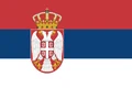
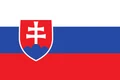
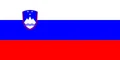
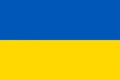
Neighboring countries: Austria, Croatia, Romania, Serbia, Slovakia, Slovenia, Ukraine.

Regions of Hungary and their capitals
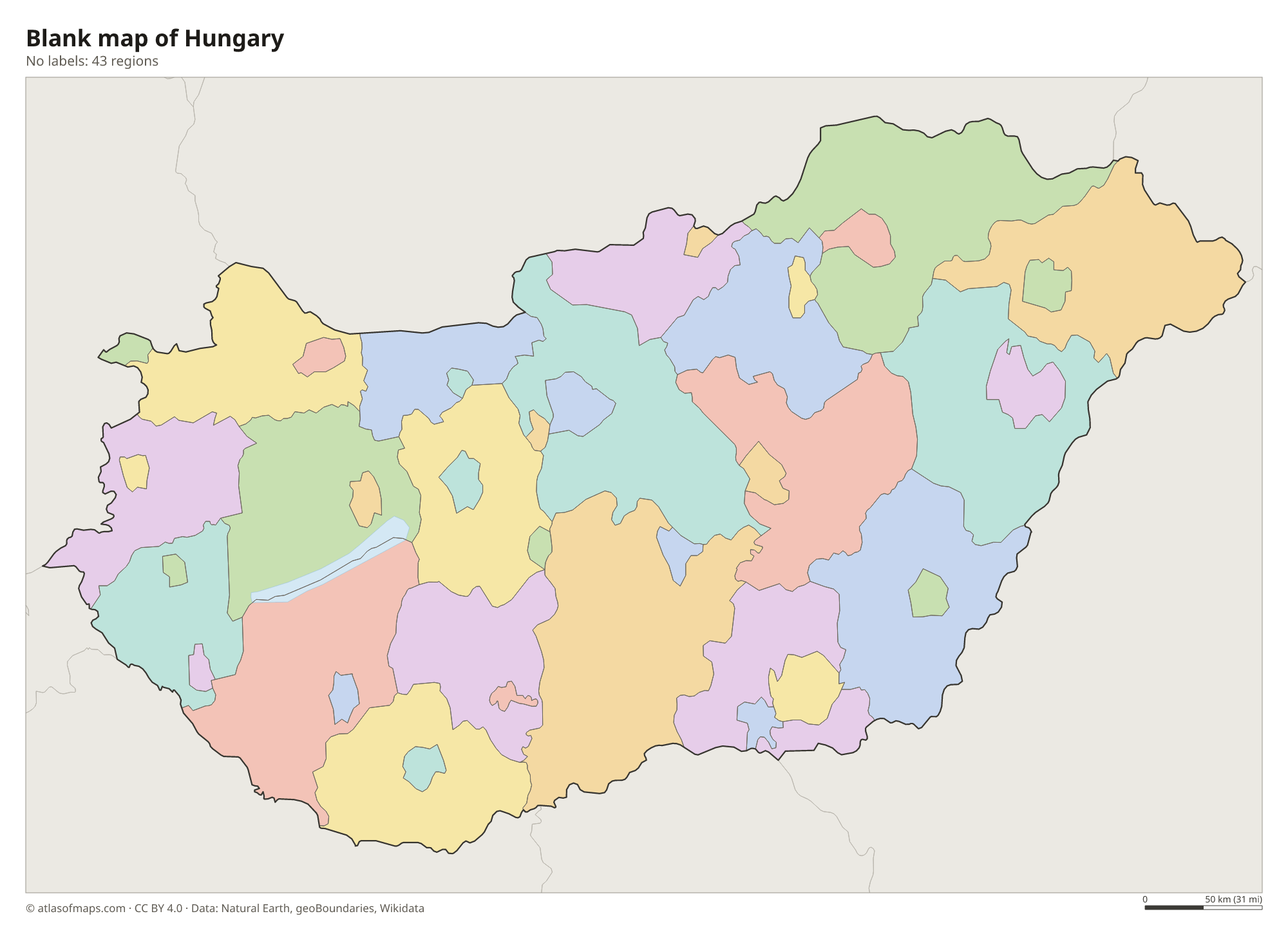
The map shows 43 units: Hungary's 19 counties, the capital, Budapest, and 23 cities with county rights, such as Debrecen, Szeged and Pécs, which are drawn separately from the counties around them.
| Region | Capital | Population | Area |
|---|---|---|---|
| Bács-Kiskun | Kecskemét | 495,318 | 8,445 km² (3,261 sq mi) |
| Baranya | Pécs | 354,022 | 4,430 km² (1,710 sq mi) |
| Békés | Békéscsaba | 315,222 | 5,630 km² (2,174 sq mi) |
| Békéscsaba | — | 53,944 | 194 km² (75 sq mi) |
| Borsod-Abaúj-Zemplén | Miskolc | 623,024 | 7,250 km² (2,799 sq mi) |
| Budapest | Budapest | 1,685,209 | 525 km² (203 sq mi) |
| Csongrád-Csanád | Szeged | 391,184 | 4,262 km² (1,646 sq mi) |
| Debrecen | — | 202,130 | 462 km² (178 sq mi) |
| Dunaújváros | — | 41,193 | 53 km² (20 sq mi) |
| Eger | — | 48,686 | 92 km² (36 sq mi) |
| Érd | — | 71,495 | 61 km² (24 sq mi) |
| Fejér | Székesfehérvár | 419,656 | 4,358 km² (1,683 sq mi) |
| Győr | — | 129,373 | 175 km² (68 sq mi) |
| Győr-Moson-Sopron | Győr | 465,945 | 4,208 km² (1,625 sq mi) |
| Hajdú-Bihar | Debrecen | 519,141 | 6,211 km² (2,398 sq mi) |
| Heves | Eger | 285,892 | 3,637 km² (1,404 sq mi) |
| Hódmezővásárhely | — | 41,669 | 488 km² (188 sq mi) |
| Jász-Nagykun-Szolnok | Szolnok | 355,809 | 5,582 km² (2,155 sq mi) |
| Kaposvár | — | 58,459 | 114 km² (44 sq mi) |
| Kecskemét | — | 108,651 | 323 km² (125 sq mi) |
| Komárom-Esztergom | Tatabánya | 300,631 | 2,265 km² (875 sq mi) |
| Miskolc | — | 141,440 | 237 km² (92 sq mi) |
| Nagykanizsa | — | 42,042 | 148 km² (57 sq mi) |
| Nógrád | Salgótarján | 182,459 | 2,545 km² (983 sq mi) |
| Nyíregyháza | — | 114,873 | 275 km² (106 sq mi) |
| Pécs | — | 139,412 | 163 km² (63 sq mi) |
| Pest | Budapest | 1,333,533 | 6,393 km² (2,468 sq mi) |
| Salgótarján | — | 30,416 | 93 km² (36 sq mi) |
| Somogy | Kaposvár | 293,470 | 6,065 km² (2,342 sq mi) |
| Sopron | — | 60,820 | 169 km² (65 sq mi) |
| Szabolcs-Szatmár-Bereg | Nyíregyháza | 529,381 | 5,936 km² (2,292 sq mi) |
| Szeged | — | 157,282 | 281 km² (108 sq mi) |
| Székesfehérvár | — | 95,241 | 171 km² (66 sq mi) |
| Szekszárd | — | 29,337 | 96 km² (37 sq mi) |
| Szolnok | — | 65,564 | 187 km² (72 sq mi) |
| Szombathely | — | 76,918 | 98 km² (38 sq mi) |
| Tatabánya | — | 64,785 | 91 km² (35 sq mi) |
| Tolna | Szekszárd | 207,931 | 3,703 km² (1,430 sq mi) |
| Vas | Szombathely | 249,513 | 3,336 km² (1,288 sq mi) |
| Veszprém | Veszprém | 335,361 | 4,464 km² (1,724 sq mi) |
| Veszprém (city) | — | 55,118 | 127 km² (49 sq mi) |
| Zala | Zalaegerszeg | 260,800 | 3,784 km² (1,461 sq mi) |
| Zalaegerszeg | — | 53,960 | 102 km² (39 sq mi) |
Population from Wikidata (latest figure available for each region).
Blank and coloring maps of Hungary
Blank map of Hungary

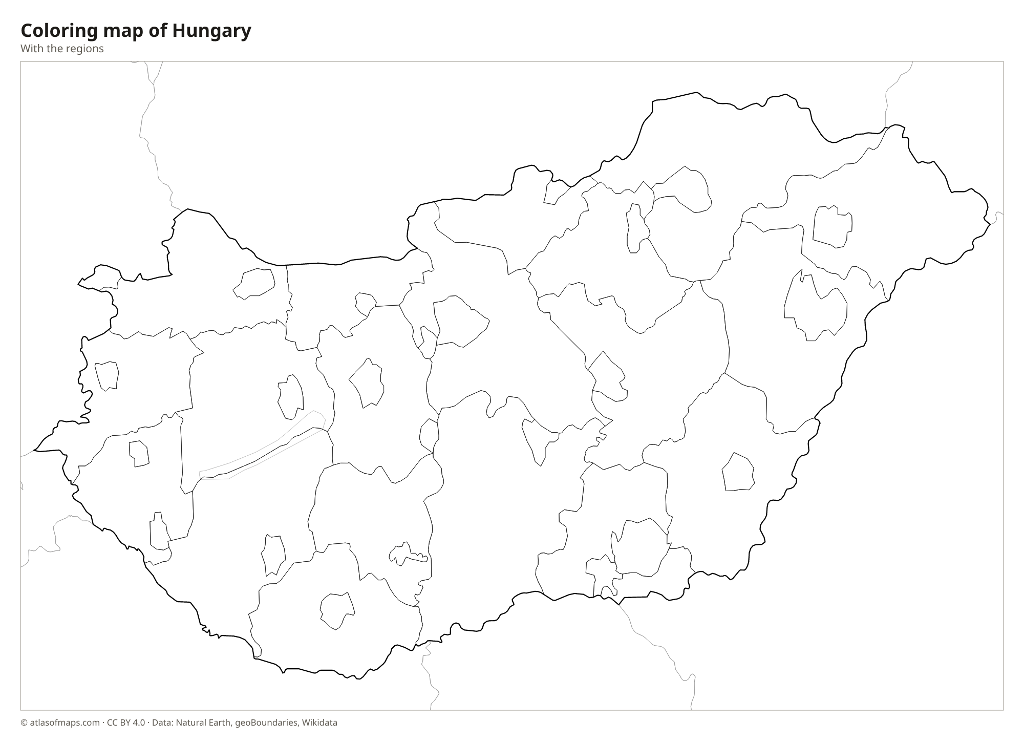
Coloring map of Hungary

Geography of Hungary
Hungary covers 93,011 km² (35,912 sq mi) and is mostly low and flat. East of the Danube spreads the Great Hungarian Plain, or Alföld, a wide lowland of farmland and the grassy puszta of Hortobágy National Park. In the northwest lies the smaller Little Hungarian Plain. West of the Danube, the region of Transdanubia has rolling hills and the low Mecsek Mountains near Pécs. Along the northern border run the North Hungarian Mountains, including the Mátra range, where Kékes is the highest point at 1,014 m (3,327 ft).
The Danube forms part of the border with Slovakia, then turns south at the Danube Bend and cuts Budapest in two. The Tisza, the second major river, crosses the Great Plain before joining the Danube in Serbia. Lake Balaton in Transdanubia is the largest lake in Central Europe and a popular summer destination, and Lake Fertő is shared with Austria. Hungary also has many hot springs, including Lake Hévíz, a large thermal lake. The climate is continental, with hot summers and cold winters.
Fun facts
- Budapest was formed in 1873 by merging Buda and Óbuda on the west bank of the Danube with Pest on the east bank.
- Hungary has no coastline, but Lake Balaton is so large that Hungarians often call it the Hungarian Sea.
Flag of Hungary
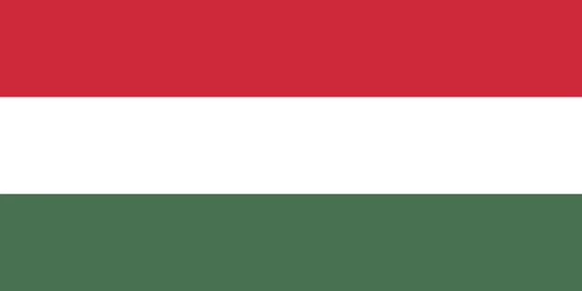
The flag of Hungary is a horizontal tricolor of three equal stripes: red on top, white in the middle and green at the bottom. It has no emblem and a 1:2 ratio. It uses the same three colors as the flag of Italy, but with horizontal stripes in a different order.
Countries bordering Hungary
Frequently asked questions
What countries border Hungary?
Hungary borders seven countries: Austria and Slovenia to the west, Slovakia to the north, Ukraine to the northeast, Romania to the east, and Serbia and Croatia to the south.
How many counties does Hungary have?
Hungary has 19 counties plus the capital, Budapest. The map also shows 23 cities with county rights as separate units, for a total of 43.
What river runs through Budapest?
The Danube runs through Budapest, separating hilly Buda on the west bank from flat Pest on the east bank. Several bridges, including the Chain Bridge, connect the two sides.
What is the capital of Hungary?
The capital of Hungary is Budapest.
How many regions does Hungary have?
Hungary is divided into 43 regions.
What language is spoken in Hungary?
The official language is Hungarian.
Can I print the map of Hungary?
Yes. Every map on this page can be downloaded for free as PNG or PDF (US Letter) and printed, including the blank map and the coloring map. Please credit the source (Atlas of Maps, CC BY 4.0).
Use this map
You can download, print and share this map for free, in class, in school projects, in presentations and on websites, as long as you credit the source: Map of Hungary · Atlas of Maps (atlasofmaps.com), license CC BY 4.0.
See also: Map of Europe · Map of the European Union · World map