Map of Kenya with counties and capitals
Kenya is a country in East Africa on the Indian Ocean. It borders Ethiopia, Somalia, Tanzania, Uganda and South Sudan, and the equator crosses the country from Lake Victoria in the west to the Somali border in the east. The political map shows its 47 counties, the capital, Nairobi, and major cities.

- Capital
- Nairobi
- Population
- 48.5 million (2017)
- Area
- 581,309 km² (224,445 sq mi)
- Population density
- 83 per km² (216 per sq mi)
- Official languages
- Swahili and English
- Currency
- Kenyan shilling
- Demonym
- Kenyan
- Counties
- 47
- Highest point
- Mount Kenya (5,199 m (17,057 ft))
- Calling code
- +254
- Internet domain
- .ke
- Official name
- Republic of Kenya
Where is Kenya?
Kenya is a country in East Africa on the Indian Ocean. It borders Ethiopia, Somalia, Tanzania, Uganda and South Sudan, and the equator crosses the country from Lake Victoria in the west to the Somali border in the east.
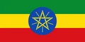
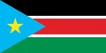
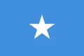
Neighboring countries: Ethiopia, South Sudan, Somalia, Tanzania, Uganda.

Counties of Kenya
Kenya is divided into 47 counties, each with its own elected governor and assembly, created under the 2010 constitution. They range from crowded Nairobi County, home to the capital, to huge, thinly populated counties such as Marsabit and Turkana.
| County | Area |
|---|---|
| Baringo | 10,845 km² (4,187 sq mi) |
| Bomet | 2,831 km² (1,093 sq mi) |
| Bungoma | 3,029 km² (1,170 sq mi) |
| Busia | 1,820 km² (703 sq mi) |
| Elgeyo-Marakwet | 3,032 km² (1,171 sq mi) |
| Embu | 2,839 km² (1,096 sq mi) |
| Garissa | 44,393 km² (17,140 sq mi) |
| Homa Bay | 4,777 km² (1,844 sq mi) |
| Isiolo | 25,465 km² (9,832 sq mi) |
| Kajiado | 21,920 km² (8,463 sq mi) |
| Kakamega | 3,002 km² (1,159 sq mi) |
| Kericho | 2,112 km² (815 sq mi) |
| Kiambu | 2,586 km² (998 sq mi) |
| Kilifi | 12,473 km² (4,816 sq mi) |
| Kirinyaga | 1,484 km² (573 sq mi) |
| Kisii | 1,312 km² (507 sq mi) |
| Kisumu | 2,687 km² (1,037 sq mi) |
| Kitui | 30,693 km² (11,851 sq mi) |
| Kwale | 8,240 km² (3,181 sq mi) |
| Laikipia | 9,727 km² (3,756 sq mi) |
| Lamu | 6,080 km² (2,348 sq mi) |
| Machakos | 6,248 km² (2,412 sq mi) |
| Makueni | 8,022 km² (3,097 sq mi) |
| Mandera | 25,401 km² (9,807 sq mi) |
| Marsabit | 75,796 km² (29,265 sq mi) |
| Meru | 6,931 km² (2,676 sq mi) |
| Migori | 3,178 km² (1,227 sq mi) |
| Mombasa | 178 km² (69 sq mi) |
| Murang'a | 2,553 km² (986 sq mi) |
| Nairobi | 707 km² (273 sq mi) |
| Nakuru | 7,480 km² (2,888 sq mi) |
| Nandi | 2,882 km² (1,113 sq mi) |
| Narok | 17,973 km² (6,939 sq mi) |
| Nyamira | 889 km² (343 sq mi) |
| Nyandarua | 3,288 km² (1,270 sq mi) |
| Nyeri | 3,348 km² (1,293 sq mi) |
| Samburu | 21,173 km² (8,175 sq mi) |
| Siaya | 3,526 km² (1,361 sq mi) |
| Taita Taveta | 17,200 km² (6,641 sq mi) |
| Tana River | 37,977 km² (14,663 sq mi) |
| Tharaka | 2,683 km² (1,036 sq mi) |
| Trans Nzoia | 2,492 km² (962 sq mi) |
| Turkana | 60,639 km² (23,413 sq mi) |
| Uasin Gishu | 3,362 km² (1,298 sq mi) |
| Vihiga | 562 km² (217 sq mi) |
| Wajir | 56,397 km² (21,775 sq mi) |
| West Pokot | 9,139 km² (3,529 sq mi) |
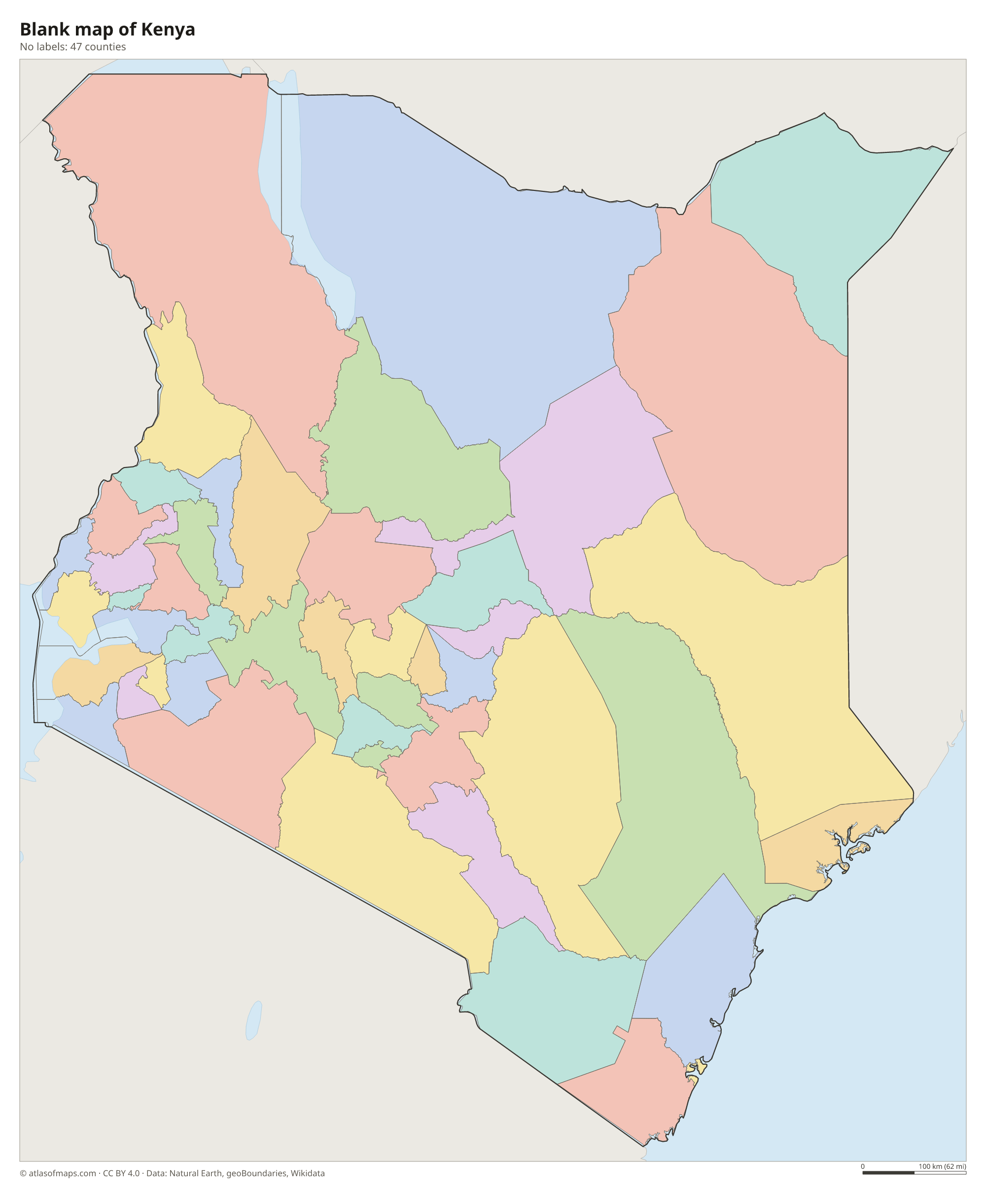
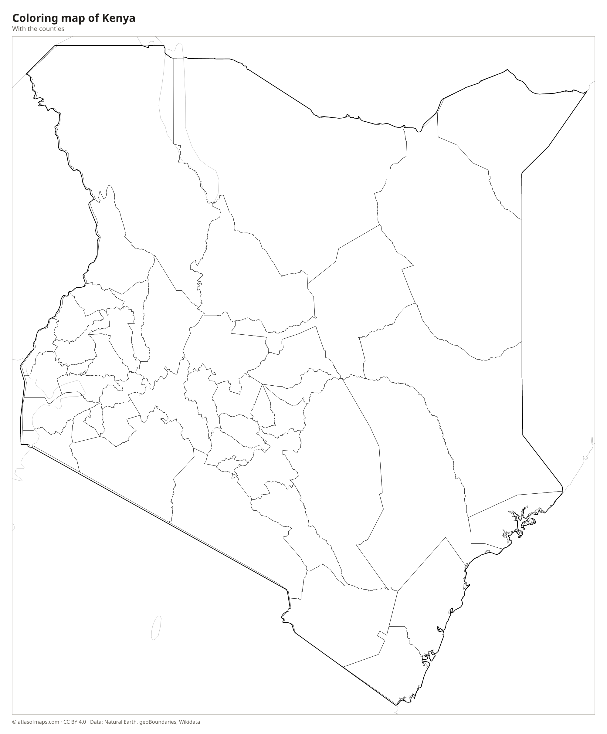
Blank and coloring maps of Kenya
Blank map of Kenya

Coloring map of Kenya

Geography of Kenya
Kenya covers 581,309 km² (224,445 sq mi). A narrow coastal plain with coral reefs and beaches lines the Indian Ocean around Mombasa and Lamu. Inland the land rises to dry plateaus and then to the central highlands, the country's main farming region, where Mount Kenya, an old volcano, is the highest point at 5,199 m (17,057 ft). The Great Rift Valley cuts through the highlands from north to south. The north and northeast are hot, dry lowlands, while the south has the savannas of the Maasai Mara, Amboseli and Tsavo.
In the west, Kenya shares Lake Victoria, the largest lake in Africa, with Uganda and Tanzania. The Rift Valley holds a chain of smaller lakes, including Naivasha, Nakuru, known for its flamingos, and Baringo, while Lake Turkana in the far north is the largest permanent desert lake in the world. The Tana is Kenya's longest river and flows to the Indian Ocean. Thanks to its altitude, Nairobi has a mild climate despite lying near the equator, and most regions have long rains from about March to May and short rains from about October to December.
Fun facts
- Mount Kenya is the second-highest mountain in Africa, after Kilimanjaro.
- Nairobi National Park lies just outside the capital, so lions and giraffes can be seen with city skyscrapers in the background.
- Fossils found around Lake Turkana have made the area one of the most important places for studying human origins.
Flag of Kenya
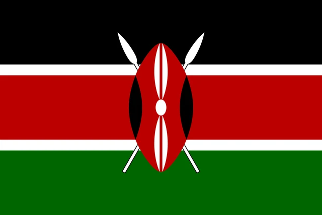
Kenya's flag has three horizontal stripes, black, red and green, separated by two thin white stripes. In the center is a traditional Maasai shield in red, black and white, with two crossed white spears behind it. The flag has a 2:3 ratio.
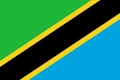
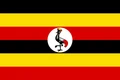
Countries bordering Kenya
Frequently asked questions
What countries border Kenya?
Kenya borders five countries: Ethiopia to the north, South Sudan to the northwest, Uganda to the west, Tanzania to the south and Somalia to the east.
How many counties does Kenya have?
Kenya has 47 counties, set up under the 2010 constitution. Each has an elected governor; Nairobi County contains the capital, and Mombasa County the main port.
Does the equator pass through Kenya?
Yes. The equator crosses central Kenya, passing just north of the summit of Mount Kenya and through the town of Nanyuki, where signs mark the line. It splits the country into a northern and a southern half.
What is the capital of Kenya?
The capital of Kenya is Nairobi.
What language is spoken in Kenya?
The official languages are Swahili and English.
Can I print the map of Kenya?
Yes. Every map on this page can be downloaded for free as PNG or PDF (US Letter) and printed, including the blank map and the coloring map. Please credit the source (Atlas of Maps, CC BY 4.0).
Use this map
You can download, print and share this map for free, in class, in school projects, in presentations and on websites, as long as you credit the source: Map of Kenya · Atlas of Maps (atlasofmaps.com), license CC BY 4.0.
See also: Map of Africa · World map