Map of the Czech Republic with regions and capitals
The Czech Republic, also called Czechia, is a landlocked country in Central Europe. It borders Germany to the west and northwest, Poland to the northeast, Slovakia to the southeast and Austria to the south. The political map shows its 14 regions, the capital, Prague, and major cities.

- Capital
- Prague
- Population
- 10.9 million (2025)
- Area
- 78,871 km² (30,452 sq mi)
- Population density
- 138 per km² (358 per sq mi)
- Official language
- Czech
- Currency
- Czech koruna
- Demonym
- Czech
- Regions
- 14
- Highest point
- Sněžka (1,603 m (5,259 ft))
- Calling code
- +420
- Internet domain
- .cz
- Also known as
- Czechia
Where is the Czech Republic?
The Czech Republic, also called Czechia, is a landlocked country in Central Europe. It borders Germany to the west and northwest, Poland to the northeast, Slovakia to the southeast and Austria to the south.

Regions of the Czech Republic and their capitals
The Czech Republic is divided into 14 regions (kraje), including the capital, Prague, which forms a region of its own. The Central Bohemian Region surrounds Prague, and most regions are named after their main city or historic area.
| Region | Capital | Population | Area |
|---|---|---|---|
| Central Bohemian | Prague | 1,455,940 | 10,928 km² (4,219 sq mi) |
| Hradec Králové | Hradec Králové | 555,923 | 4,759 km² (1,837 sq mi) |
| Karlovy Vary | Karlovy Vary | 293,195 | 3,310 km² (1,278 sq mi) |
| Liberec | Liberec | 449,494 | 3,163 km² (1,221 sq mi) |
| Moravian-Silesian | Ostrava | 1,189,204 | 5,431 km² (2,097 sq mi) |
| Olomouc | Olomouc | 631,500 | 5,272 km² (2,036 sq mi) |
| Pardubice | Pardubice | 530,469 | 4,519 km² (1,745 sq mi) |
| Plzeň | Plzeň | 208,461 | 261 km² (101 sq mi) |
| Prague | Prague | 1,397,880 | 496 km² (192 sq mi) |
| South Bohemian | České Budějovice | 653,227 | 10,058 km² (3,883 sq mi) |
| South Moravian | Brno | 1,229,343 | 7,188 km² (2,775 sq mi) |
| Ústí nad Labem | Ústí nad Labem | 808,356 | 5,339 km² (2,061 sq mi) |
| Vysočina | Jihlava | 514,915 | 6,796 km² (2,624 sq mi) |
| Zlín | Zlín | 192,025 | 1,045 km² (403 sq mi) |
Population from Wikidata (latest figure available for each region).
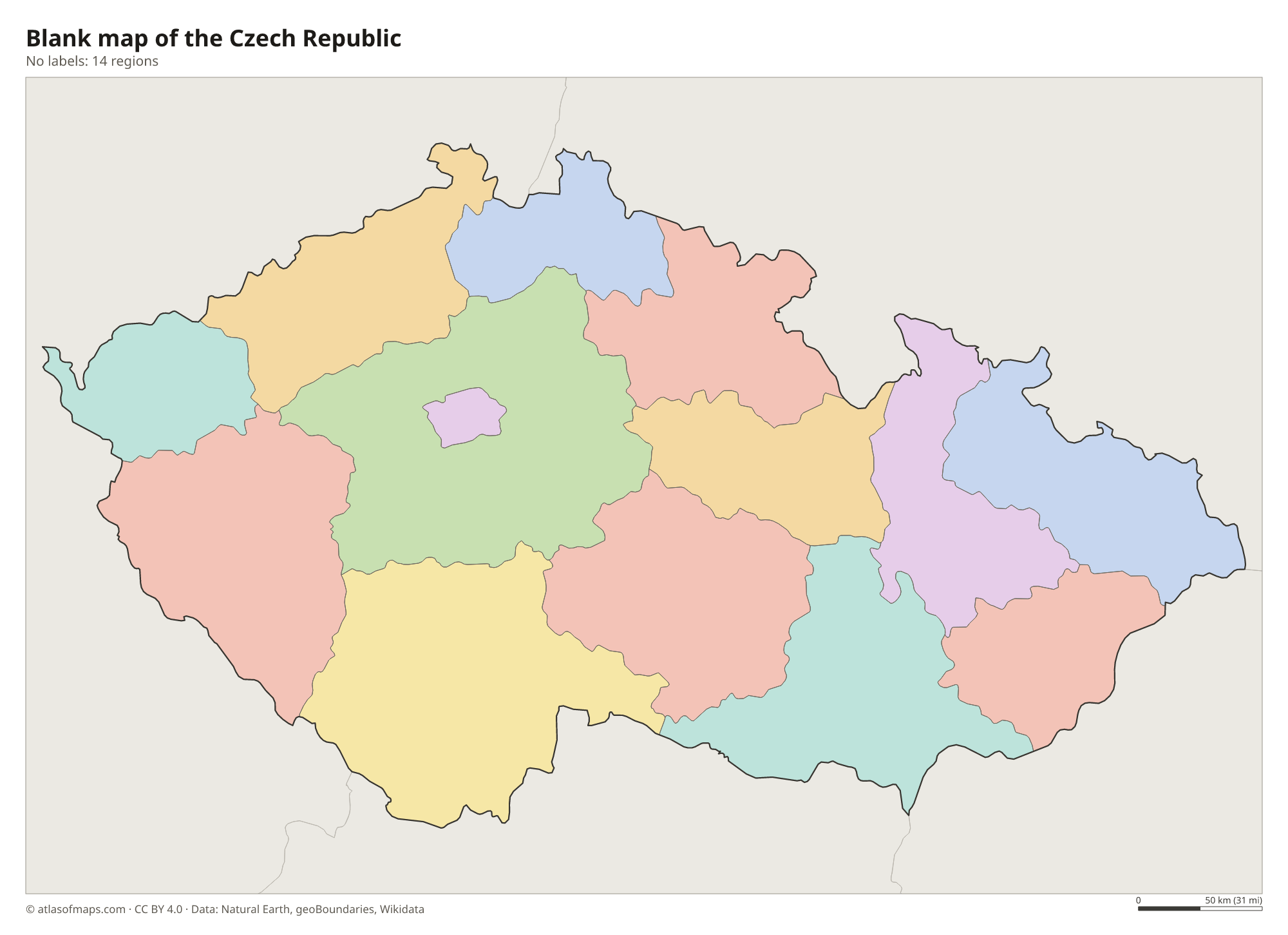
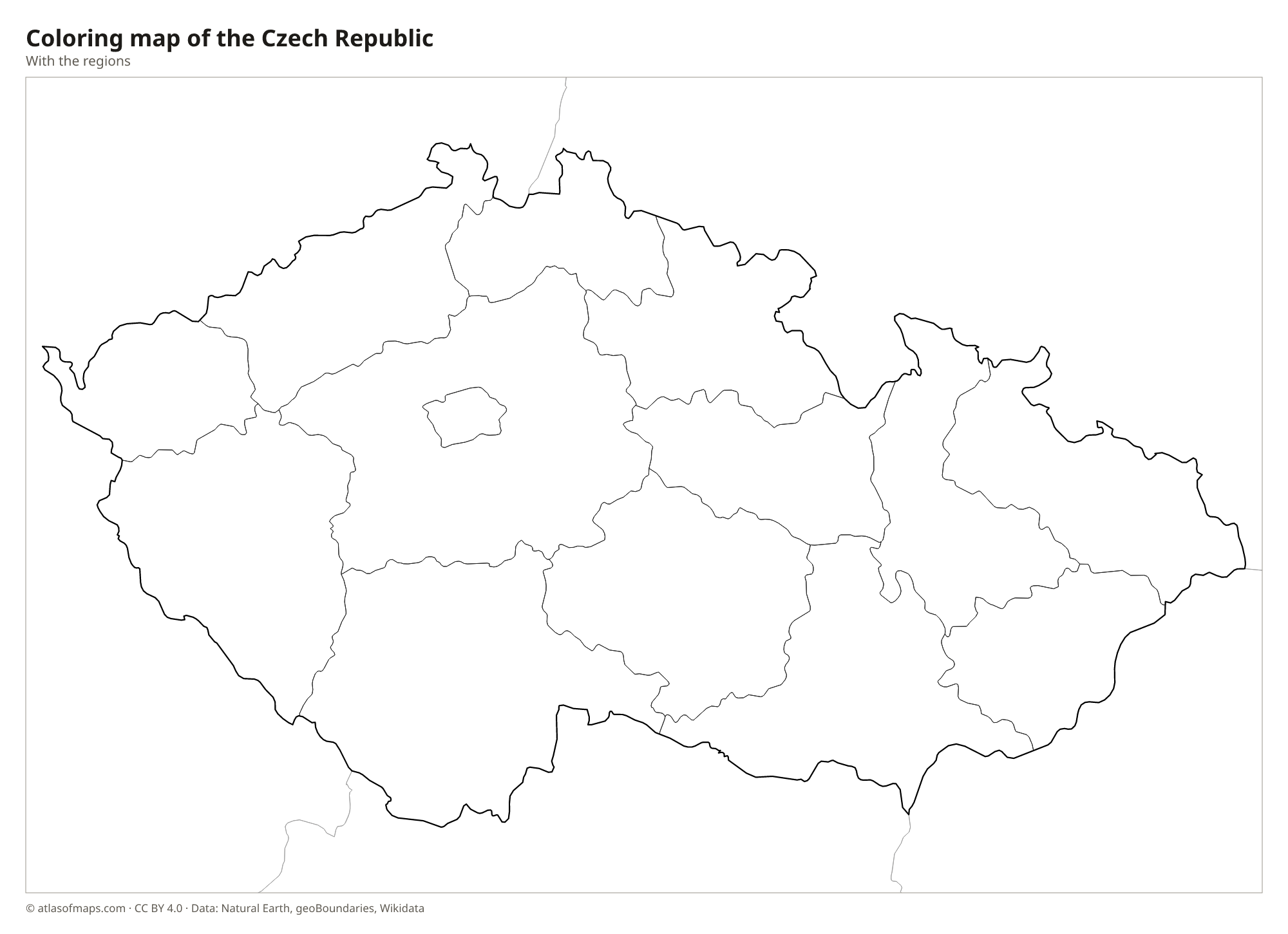
Blank and coloring maps of the Czech Republic
Blank map of the Czech Republic

Coloring map of the Czech Republic

Geography of the Czech Republic
The Czech Republic covers 78,871 km² (30,452 sq mi) and is made up of three historic lands: Bohemia in the west, Moravia in the east and part of Silesia in the northeast. Bohemia is a raised basin ringed by mountains: the Ore Mountains along the German border, the Bohemian Forest (Šumava) in the southwest and the Sudetes in the north, which include the Krkonoše (Giant Mountains). Sněžka, the highest peak, rises there to 1,603 m (5,259 ft) on the Polish border. Moravia is lower and more open, with hills and river lowlands.
Czech rivers drain to three seas. The Vltava flows north through Prague and joins the Elbe, which carries the water to the North Sea; the Oder drains to the Baltic, and the Morava flows south to the Danube and the Black Sea. Because almost all rivers rise inside the country and flow out, it is sometimes called the roof of Europe. The climate is temperate, with warm summers and cold winters, and the warm lowlands of South Moravia are known for their vineyards. Sandstone towers and gorges in Bohemian Switzerland are a popular natural sight.
Fun facts
- Czechia has been the official short name of the country since 2016.
- Prague's historic center, on both banks of the Vltava, is a UNESCO World Heritage Site.
- The border between the Czech Republic and Poland runs across the summit of Sněžka, the highest Czech mountain.
Flag of the Czech Republic
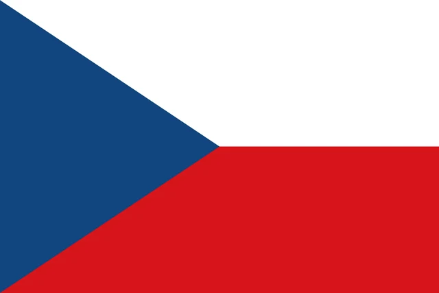
The flag of the Czech Republic has two horizontal bands, white on top and red below, with a blue triangle pointing from the hoist side to the center of the flag. There is no emblem. The design is the same as the flag of the former Czechoslovakia.
Countries bordering the Czech Republic
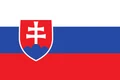
Frequently asked questions
What countries border the Czech Republic?
The Czech Republic borders four countries: Germany to the west, Poland to the north and northeast, Slovakia to the east and Austria to the south. It has no coastline.
How many regions does the Czech Republic have?
The Czech Republic has 14 regions, called kraje. The capital, Prague, forms a region of its own, and the others include Central Bohemian, South Moravian and Moravian-Silesian.
Is it Czechia or the Czech Republic?
Both names are correct. The Czech Republic is the official full name, and Czechia has been the official short name since 2016, in the same way that France is short for the French Republic.
What is the capital of the Czech Republic?
The capital of the Czech Republic is Prague.
What language is spoken in the Czech Republic?
The official language is Czech.
Can I print the map of the Czech Republic?
Yes. Every map on this page can be downloaded for free as PNG or PDF (US Letter) and printed, including the blank map and the coloring map. Please credit the source (Atlas of Maps, CC BY 4.0).
Use this map
You can download, print and share this map for free, in class, in school projects, in presentations and on websites, as long as you credit the source: Map of the Czech Republic · Atlas of Maps (atlasofmaps.com), license CC BY 4.0.
See also: Map of Europe · Map of the European Union · World map