Map of Slovakia with regions and capitals
Slovakia is a landlocked country in Central Europe. It borders Poland to the north, Ukraine to the east, Hungary to the south, Austria to the southwest and the Czech Republic to the northwest. The political map shows its 8 regions, the capital, Bratislava, and major cities.

- Capital
- Bratislava
- Population
- 5.4 million (2025)
- Area
- 49,034 km² (18,932 sq mi)
- Population density
- 110 per km² (286 per sq mi)
- Official language
- Slovak
- Currency
- euro
- Demonym
- Slovak
- Regions
- 8
- Highest point
- Gerlachovský štít (2,654 m (8,707 ft))
- Calling code
- +421
- Internet domain
- .sk
Where is Slovakia?
Slovakia is a landlocked country in Central Europe. It borders Poland to the north, Ukraine to the east, Hungary to the south, Austria to the southwest and the Czech Republic to the northwest.
Neighboring countries: Austria, Czech Republic, Hungary, Poland, Ukraine.

Regions of Slovakia and their capitals
Slovakia is divided into 8 self-governing regions (kraje), each named after its capital city: Bratislava, Trnava, Trenčín, Nitra, Žilina, Banská Bystrica, Prešov and Košice. All 8 are shown on the map.
| Region | Capital | Population | Area |
|---|---|---|---|
| Banská Bystrica | Banská Bystrica | 607,581 | 9,454 km² (3,650 sq mi) |
| Bratislava | Bratislava | 739,635 | 2,053 km² (793 sq mi) |
| Košice | Košice | 777,933 | 6,754 km² (2,608 sq mi) |
| Nitra | Nitra | 661,995 | 6,344 km² (2,449 sq mi) |
| Prešov | Prešov | 810,075 | 8,973 km² (3,464 sq mi) |
| Trenčín | Trenčín | 562,536 | 4,502 km² (1,738 sq mi) |
| Trnava | Trnava | 565,462 | 4,146 km² (1,601 sq mi) |
| Žilina | Žilina | 684,190 | 6,808 km² (2,629 sq mi) |
Population from Wikidata (latest figure available for each region).
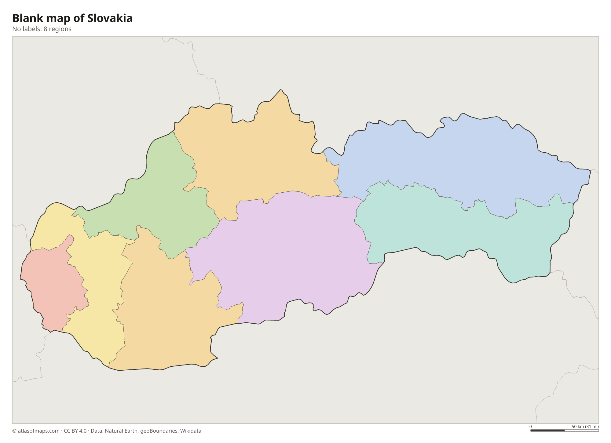
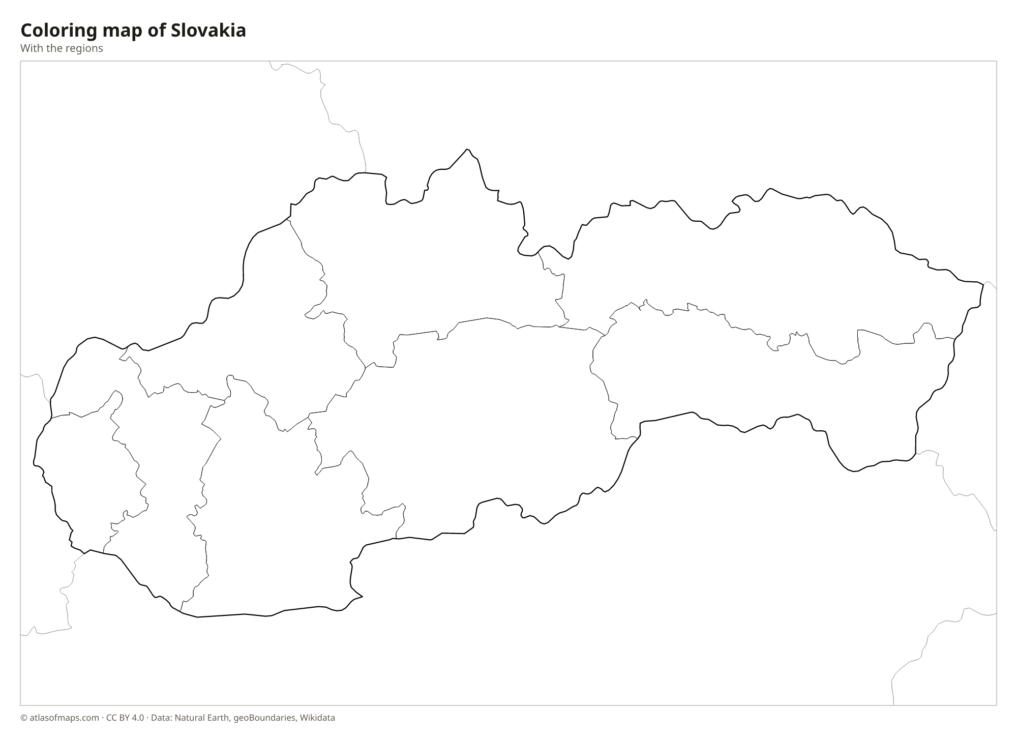
Blank and coloring maps of Slovakia
Blank map of Slovakia

Coloring map of Slovakia

Geography of Slovakia
The Carpathian Mountains cover most of northern and central Slovakia. The High Tatras on the Polish border are the highest range, with sharp granite peaks, glacial lakes and Gerlachovský štít, the highest point at 2,654 m (8,707 ft). South of them lie the Low Tatras, the Greater and Lesser Fatra and the Slovak Ore Mountains. The south of the country opens into lowlands: the Danubian Lowland in the southwest, with rich farmland, and the Eastern Slovak Lowland near the Ukrainian border.
The Danube forms much of the border with Hungary and flows past Bratislava, while the Morava River marks much of the border with Austria. Most Slovak rivers, such as the Váh, the longest river in the country, the Hron and the Nitra, flow south to the Danube, while the Poprad and Dunajec in the north drain through Poland to the Baltic. Slovakia has many caves, including ice caves such as Dobšiná. The climate is continental, with warm summers and cold winters, much colder and snowier in the mountains.
Fun facts
- Gerlachovský štít in the High Tatras is the highest peak of the entire Carpathian Mountains.
- Bratislava is the only national capital that borders two other countries, Austria and Hungary.
- Žitný ostrov, between two arms of the Danube in southwestern Slovakia, is one of the largest river islands in Europe.
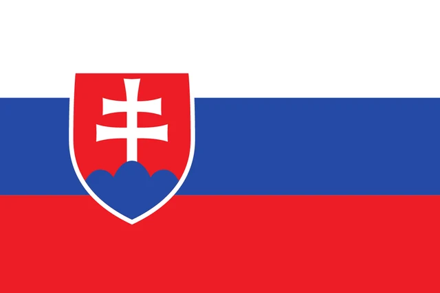
Flag of Slovakia
The flag of Slovakia has three equal horizontal stripes of white, blue and red. Toward the hoist is the national coat of arms: a red shield with a white double cross standing on the middle peak of three blue hills. The shield is outlined in white and overlaps all three stripes.
Countries bordering Slovakia
Frequently asked questions
What countries border Slovakia?
Slovakia borders five countries: Poland to the north, Ukraine to the east, Hungary to the south, Austria to the southwest and the Czech Republic to the northwest.
How many regions does Slovakia have?
Slovakia has 8 regions, each named after its capital: Bratislava, Trnava, Trenčín, Nitra, Žilina, Banská Bystrica, Prešov and Košice.
Is Slovakia the same as Slovenia?
No. Slovakia is in Central Europe, north of Hungary, with Bratislava as its capital. Slovenia is a separate country farther southwest, between Italy, Austria, Hungary and Croatia, with Ljubljana as its capital.
What is the capital of Slovakia?
The capital of Slovakia is Bratislava.
What language is spoken in Slovakia?
The official language is Slovak.
Can I print the map of Slovakia?
Yes. Every map on this page can be downloaded for free as PNG or PDF (US Letter) and printed, including the blank map and the coloring map. Please credit the source (Atlas of Maps, CC BY 4.0).
Use this map
You can download, print and share this map for free, in class, in school projects, in presentations and on websites, as long as you credit the source: Map of Slovakia · Atlas of Maps (atlasofmaps.com), license CC BY 4.0.
See also: Map of Europe · Map of the European Union · World map