Map of Venezuela with states and capitals
Venezuela is a country on the northern coast of South America, facing the Caribbean Sea and the Atlantic Ocean. It borders Colombia to the west, Brazil to the south and Guyana to the east. The political map shows its 23 states, the Capital District and the Federal Dependencies, the capital, Caracas, and major cities.

- Capital
- Caracas
- Population
- 31.3 million (2024)
- Area
- 912,050 km² (352,144 sq mi)
- Population density
- 34 per km² (89 per sq mi)
- Official language
- Spanish
- Currency
- sovereign bolivar
- Demonym
- Venezuelan
- Divisions
- 23 states, the Capital District and the Federal Dependencies
- Highest point
- Pico Bolívar (4,978 m (16,332 ft))
- Calling code
- +58
- Internet domain
- .ve
- Official name
- Bolivarian Republic of Venezuela
Where is Venezuela?
Venezuela is a country on the northern coast of South America, facing the Caribbean Sea and the Atlantic Ocean. It borders Colombia to the west, Brazil to the south and Guyana to the east.

States of Venezuela
Venezuela is divided into 23 states, the Capital District around central Caracas, and the Federal Dependencies, a group of small Caribbean islands governed directly by the national government. Nueva Esparta state is made up of Margarita Island and its neighbors.
| State | Area |
|---|---|
| Amazonas | 179,904 km² (69,461 sq mi) |
| Anzoátegui | 46,838 km² (18,084 sq mi) |
| Apure | 73,470 km² (28,367 sq mi) |
| Aragua | 7,146 km² (2,759 sq mi) |
| Barinas | 36,969 km² (14,274 sq mi) |
| Bolívar | 250,823 km² (96,843 sq mi) |
| Carabobo | 4,855 km² (1,875 sq mi) |
| Cojedes | 13,878 km² (5,358 sq mi) |
| Delta Amacuro | 35,986 km² (13,894 sq mi) |
| Dependencias Federales | 245 km² (95 sq mi) |
| Distrito Capital | 378 km² (146 sq mi) |
| Falcón | 28,095 km² (10,848 sq mi) |
| Guárico | 65,135 km² (25,149 sq mi) |
| La Guaira | 1,167 km² (451 sq mi) |
| Lara | 19,544 km² (7,546 sq mi) |
| Mérida | 11,907 km² (4,597 sq mi) |
| Miranda | 8,840 km² (3,413 sq mi) |
| Monagas | 27,859 km² (10,756 sq mi) |
| Nueva Esparta | 993 km² (383 sq mi) |
| Portuguesa | 17,498 km² (6,756 sq mi) |
| Sucre | 10,723 km² (4,140 sq mi) |
| Táchira | 9,963 km² (3,847 sq mi) |
| Trujillo | 8,375 km² (3,234 sq mi) |
| Yaracuy | 6,104 km² (2,357 sq mi) |
| Zulia | 44,534 km² (17,195 sq mi) |
Blank and coloring maps of Venezuela
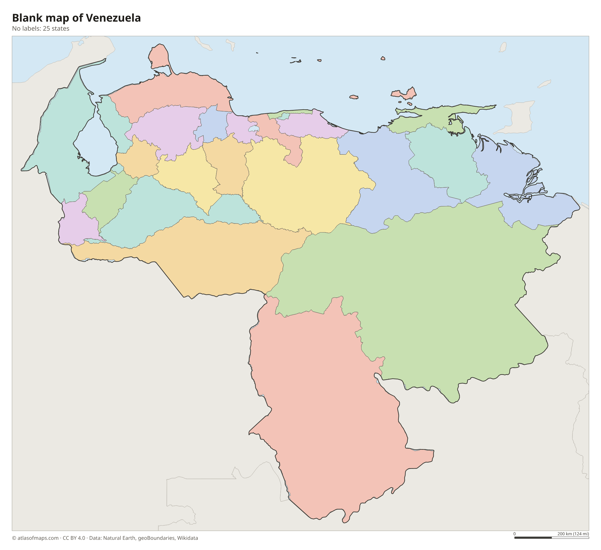
Blank map of Venezuela

Coloring map of Venezuela

Geography of Venezuela
Venezuela covers about 912,050 km² (352,144 sq mi) and has four main natural regions. In the northwest, the Andes reach into the country as the Cordillera de Mérida, where Pico Bolívar is the highest point at 4,978 m (16,332 ft). Lower coastal ranges run east along the Caribbean, sheltering Caracas in a high valley. South of the mountains lie the Llanos, wide grassy plains crossed by rivers, and south of the Orinoco rise the Guiana Highlands, an ancient plateau of rainforest and flat-topped mountains called tepuis.
The Orinoco is the main river, flowing in a great arc from the southern border to a vast delta on the Atlantic. In the northwest, Lake Maracaibo, linked to the Caribbean by a narrow channel, is one of the largest lakes in South America and lies above rich oil deposits. Angel Falls, which drops from the edge of Auyán-tepui, is the highest uninterrupted waterfall in the world at 979 m (3,212 ft). The climate is tropical, hot in the lowlands and cooler in the mountains, with a dry season and a rainy season.
Fun facts
- Venezuela has some of the largest proven oil reserves in the world.
- Over the mouth of the Catatumbo River at Lake Maracaibo, lightning storms flash on many nights of the year, a display known as Catatumbo lightning.
- Mount Roraima, a tepui, marks the point where Venezuela, Brazil and Guyana meet.
Flag of Venezuela
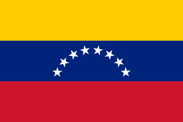
The flag of Venezuela has three equal horizontal stripes of yellow, blue and red. An arc of eight white five-pointed stars sits in the center of the blue stripe. The official state flag also shows the national coat of arms in the upper hoist corner of the yellow stripe, while the civil flag is plain.
Countries bordering Venezuela
Frequently asked questions
What countries border Venezuela?
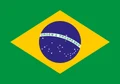
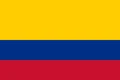
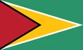
Venezuela borders Colombia to the west, Brazil to the south and Guyana to the east. Venezuela claims the Essequibo region west of the Essequibo River, which Guyana administers, and this dispute is unresolved.
How many states does Venezuela have?
Venezuela has 23 states, plus the Capital District and the Federal Dependencies. The largest state by area is Bolívar in the southeast, home to Angel Falls.
What is the capital of Venezuela?
Caracas is the capital and largest city of Venezuela. It lies in a mountain valley near the Caribbean coast, separated from the sea by the Ávila mountain range.
What language is spoken in Venezuela?
The official language is Spanish.
Can I print the map of Venezuela?
Yes. Every map on this page can be downloaded for free as PNG or PDF (US Letter) and printed, including the blank map and the coloring map. Please credit the source (Atlas of Maps, CC BY 4.0).
Use this map
You can download, print and share this map for free, in class, in school projects, in presentations and on websites, as long as you credit the source: Map of Venezuela · Atlas of Maps (atlasofmaps.com), license CC BY 4.0.
See also: Map of South America · Map of Latin America · World map